The best hikes from bus stations in Roth
4.5
(14569)
58,535
hikers
1,743
hikes
Bus station hiking trails in Roth traverse a landscape characterized by the Rednitz and Rezat rivers, which converge to form the Regnitz. The region features a mix of agricultural land, woodlands, and the prominent Rothsee lake. Elevations are generally gentle, with some routes offering views over the water and surrounding countryside. The terrain provides accessible paths suitable for various hiking abilities, often following waterways or circling the lake.
Best bus station hiking trails in Roth
- The most popular bus station…
Last updated: August 18, 2026
4.7
(141)
459
hikers
12.3km
03:23
200m
200m
Moderate hike. Good fitness required. Easily-accessible paths. Suitable for all skill levels.
4.7
(524)
2,475
hikers
Moderate hike. Good fitness required. Easily-accessible paths. Suitable for all skill levels.

Sign up for free
4.7
(881)
3,479
hikers
Moderate hike. Good fitness required. Easily-accessible paths. Suitable for all skill levels.
4.8
(252)
770
hikers
7.63km
02:10
170m
170m
Moderate hike. Good fitness required. Easily-accessible paths. Suitable for all skill levels.
4.7
(242)
774
hikers
8.28km
02:19
160m
160m
Moderate hike. Good fitness required. Easily-accessible paths. Suitable for all skill levels.
Get access to more routes and recommendations from other explorers.
Sign up for free
Already have an account?
Our route recommendations are based on thousands of hikes, rides, and runs completed by other people on komoot.
Start today with a free account
Your next adventure awaits.
Login or Signup
Popular around Roth
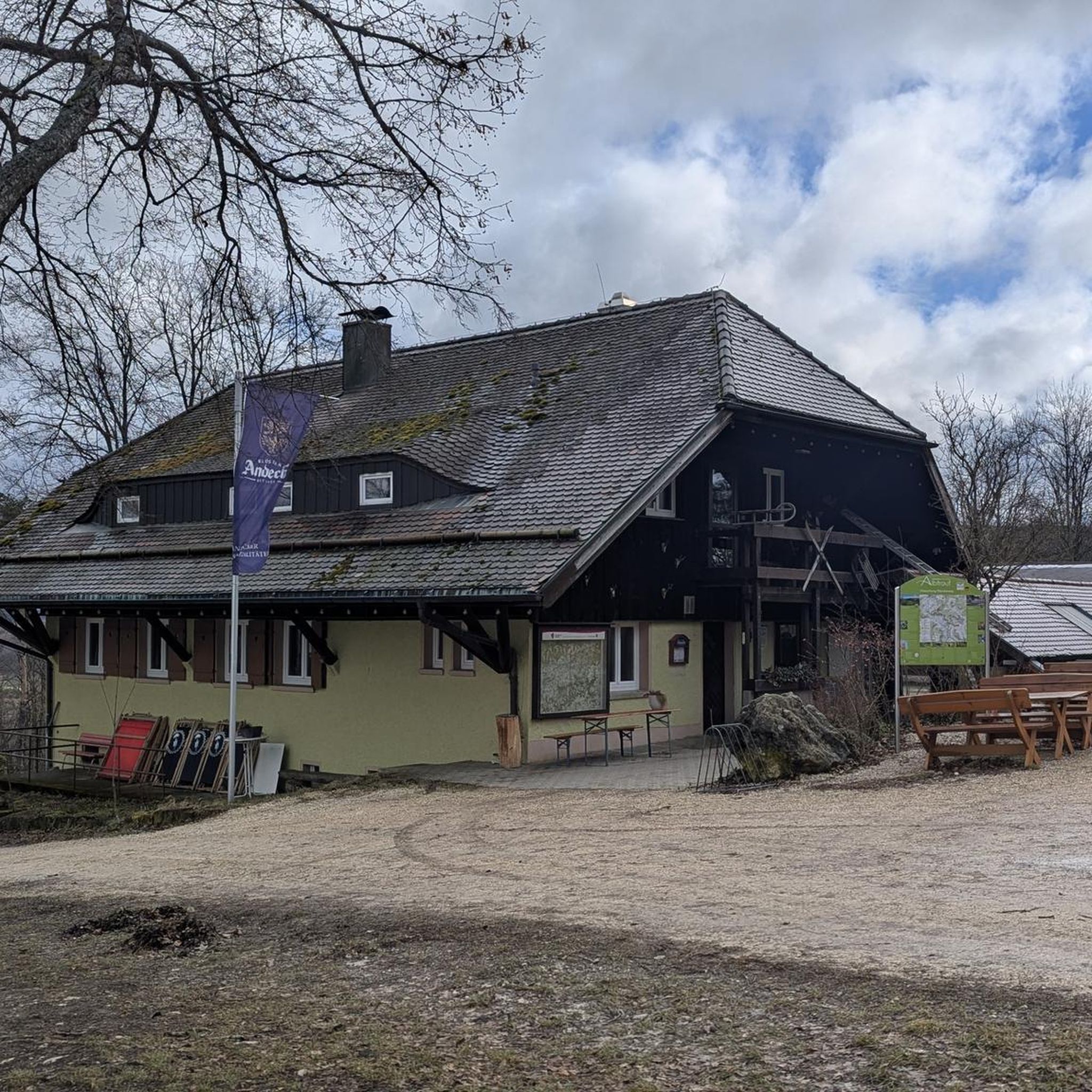
Hikes from bus stations around Spalt

Hikes from bus stations around Rothsee (Hauptsperre)
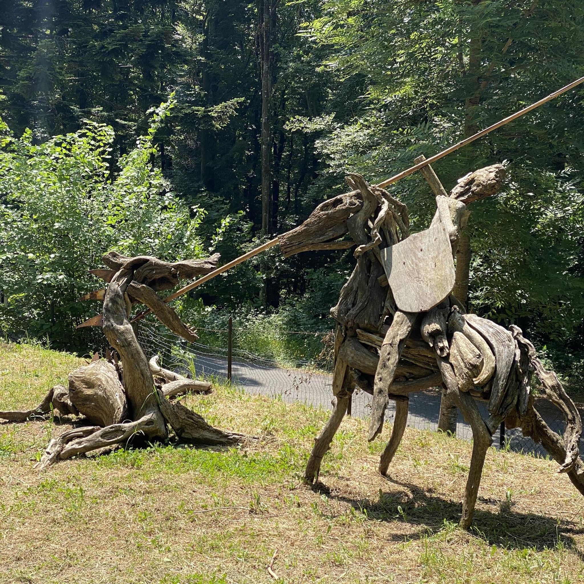
Hikes from bus stations around Thalmässing

Hikes from bus stations around Abenberg
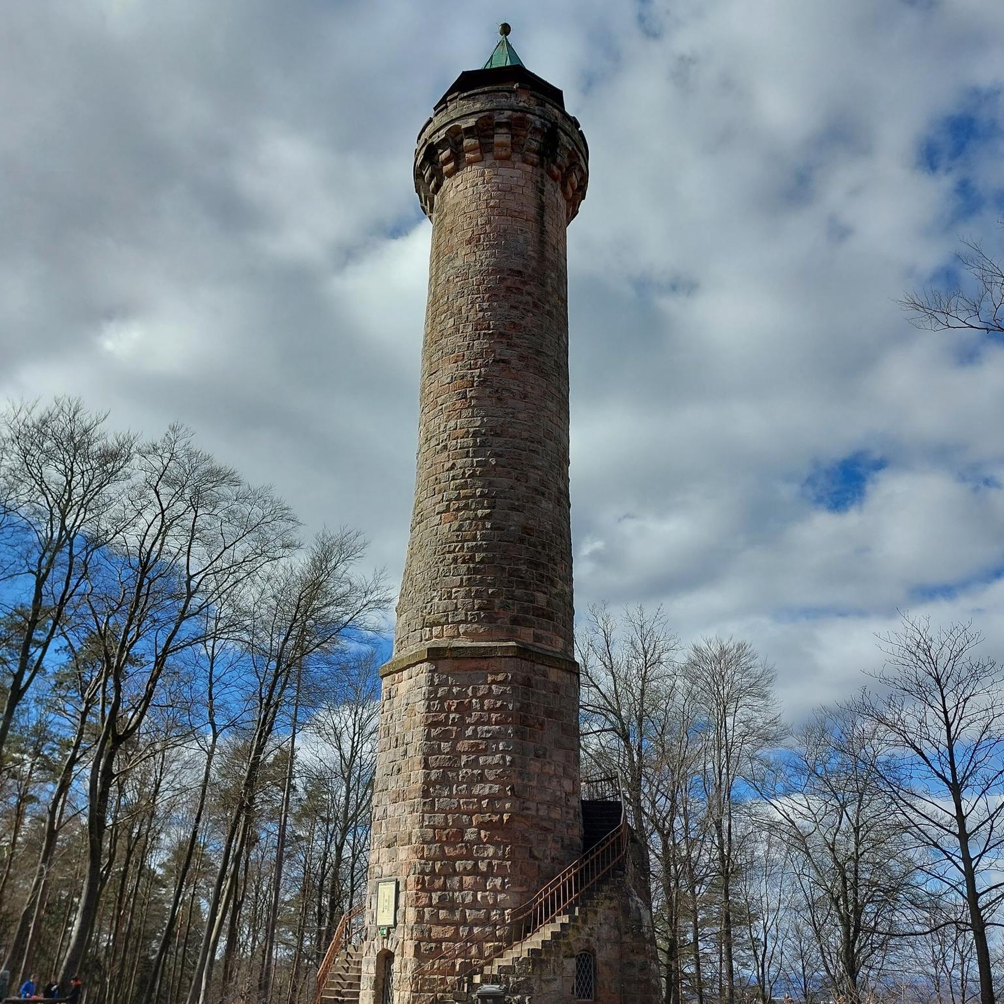
Hikes from bus stations around Hilpoltstein

Hikes from bus stations around Rothsee (Vorsperre)
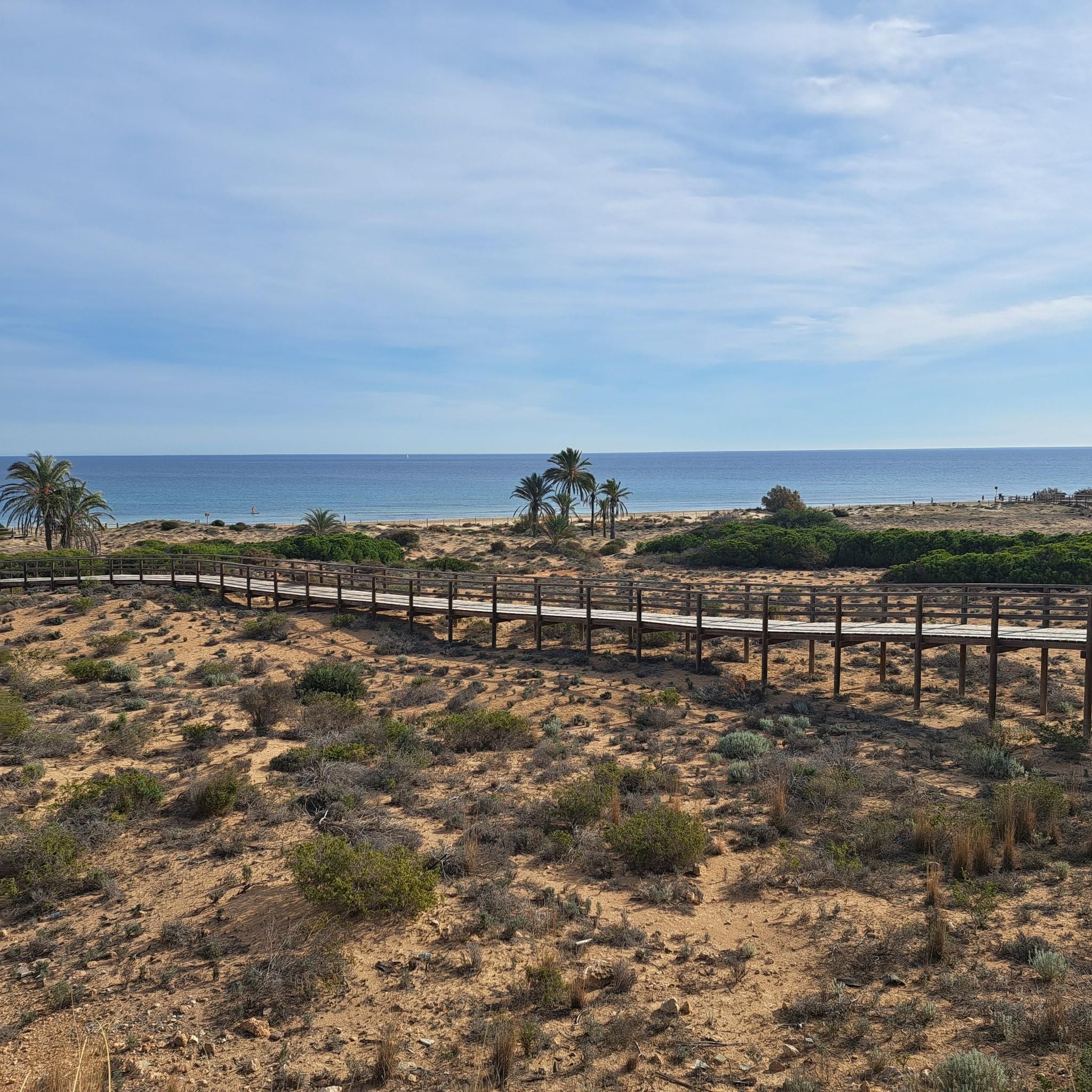
Hikes from bus stations around Büchenbach
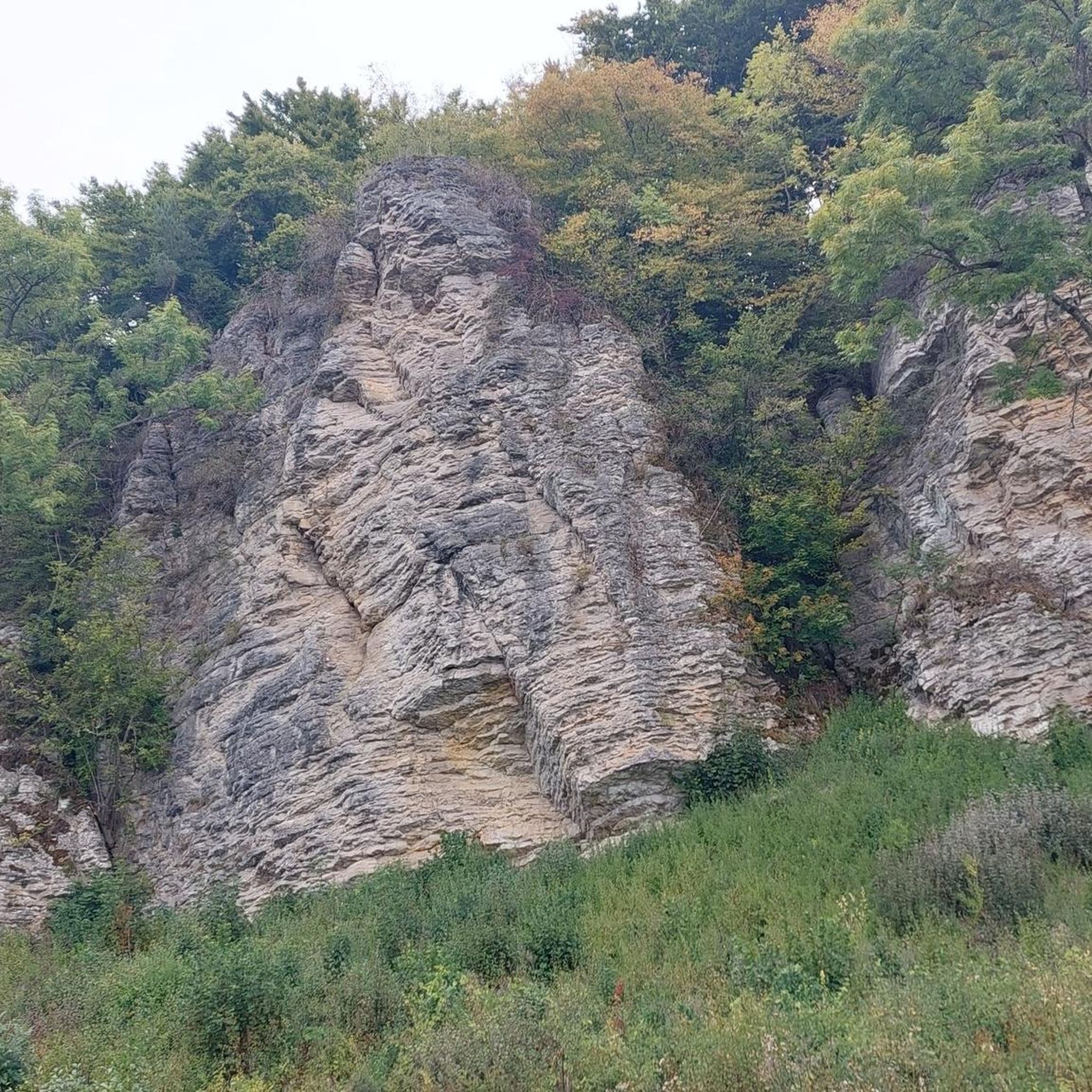
Hikes from bus stations around Greding
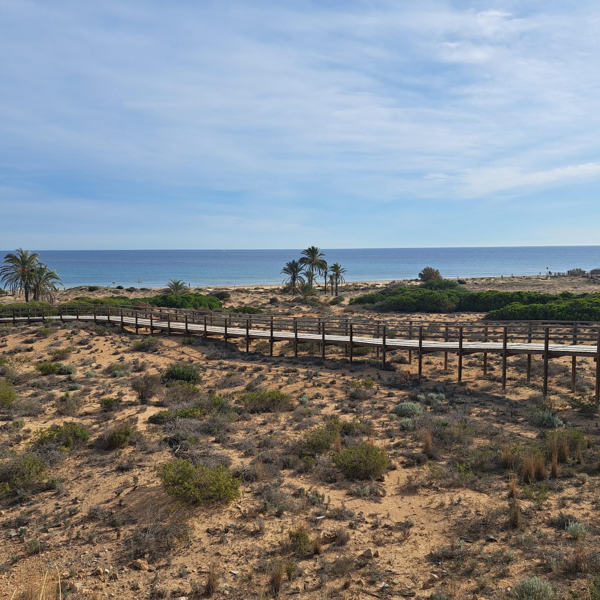
Hikes from bus stations around Kammerstein
Hikes from bus stations around Allersberg
Other adventures in Roth


Tips from the Community

Beautiful photo spot: Our beautiful Rothsee
0
0

It was a nice day with the family. Good parking with a starting point for many nice tours. It is also good to climb in the gorge and there is a lot to discover and a nice picnic spot. I will gladly come again.
1
0

Beautiful circular route around the Rothsee lake; in some sections, the path is shared between footpaths and cycle paths.
0
0

The new photo opportunity at Rothsee – the steel heart. Perfect for taking beautiful pictures.
0
0

The steel heart is the new photo hotspot at Rothsee. The idea, initiator, and donor of the approximately 2.30-meter-high artwork is Birgit Bast. The steel heart at Kleiner Rothsee invites visitors to take photos and capture special moments. It was officially inaugurated on December 11, 2025.
2
0

This elevated point also serves as a storm warning for the small and eastern large Rothsee.
0
0

It was built in 1422 under Prince-Bishop Johann II von Heideck as one of two entrances and exits to the city. The tower is 26 meters high and has five stories and seven levels. From 1763 to 1939, a watchman (= watchman), who often doubled as the city bandmaster, occupied the tower. A thorough renovation began in 1974. In 1997, the local history society established the craftsmen's workshops here. [Source: https://spalt-tourismus.de/download/abk89lk5ee0tf9hnjp1muubk3u5/Geschichtsweg21_02.pdf?ITServ=a30biqre2puc6cijmhq5dro5sob&l=95454463 ]
1
0
The Roman Catholic, listed branch church of St. Ägidius is located in Hagsbronn, a municipality in the town of Spalt in the Roth district (Middle Franconia, Bavaria). The building is registered as a listed building in the Bavarian Register of Historic Monuments under monument number D-5-76-147-222. Residents of the Roman Catholic faith are parishioners of St. Emmeram (Spalt) in the Großweingarten-Abenberg-Spalt-Theilenberg parish association in the Roth-Schwabach deanery of the Diocese of Eichstätt. [Source: https://de.wikipedia.org/wiki/St._%C3%84gidius_(Hagsbronn) ]
1
0
Frequently Asked Questions
How many hiking trails are accessible from bus stations in the Roth district?
The Roth district offers a vast network of hiking trails, with over 1,700 routes accessible directly from bus stations. This includes a wide range of options, from easy strolls to more challenging excursions, ensuring there's something for every hiker.
Are there easy or beginner-friendly hiking trails accessible by bus in Roth?
Yes, Roth is very welcoming for beginners and those looking for an easier walk. Over 990 of the available routes are rated as easy. A great option is the Rothsee – Rothsee Main Dam loop from Nordwestufer der Rothsee-Hauptsperre, which offers pleasant, relatively flat terrain around the beautiful Rothsee.
What kind of landscapes can I expect on bus-accessible hikes in Roth?
The Roth district offers diverse landscapes. You can expect scenic routes around the Rothsee, with its tranquil waters and recreational areas. Further afield, trails might lead you through charming villages, along rivers like the Rednitz and Rezat, and into the rolling hills and forests characteristic of the Franconian Lake District and the Altmühltal Nature Park.
Are there any family-friendly hiking trails accessible by bus in Roth?
Absolutely! Many trails in the Roth region are suitable for families. The flatter routes around the Rothsee are particularly popular, offering safe paths and often amenities like playgrounds or picnic spots. When planning, look for routes marked as 'easy' or 'moderate' as these are generally more suitable for all ages.
Can I bring my dog on bus-accessible hiking trails in Roth?
Most hiking trails in the Roth district are dog-friendly, provided your dog is kept on a leash, especially in nature protection areas or near wildlife. Always check local signage for specific rules, particularly around recreational lakes like the Rothsee, where certain areas might have restrictions during peak seasons. Public transport rules for dogs should also be considered.
Are there any circular hiking routes that start and end at a bus station in Roth?
Yes, many of the bus-accessible routes in Roth are designed as circular trails, allowing you to start and finish your hike at the same bus stop without needing to arrange return transport. For example, the Rothsee Beach – Rothsee Main Dam loop from Stauwurzel des Rothsees is a popular circular option.
What are some interesting landmarks or attractions I can see along bus-accessible hiking trails in Roth?
The Roth region is rich in history and natural beauty. Depending on your chosen route, you might encounter historical sites like the Historic Old Town of Hilpoltstein or the impressive Ratibor Castle (Schloss Ratibor). The Vorgeschichtsweg (Prehistory Trail) – Altmühltal Nature Park offers insights into ancient history and beautiful natural scenery.
What do other hikers enjoy most about hiking in Roth?
The Roth region is highly rated by the komoot community, with an average score of 4.5 stars. Reviewers often praise the well-maintained paths, the scenic variety from lakeside paths to forested hills, and the excellent accessibility via public transport. The tranquility of the natural areas and the charm of the small towns are frequently highlighted.
Are there any challenging hikes accessible by bus from Roth?
While Roth is known for its accessible and moderate trails, there are also more challenging options for experienced hikers. Around 37 routes are classified as difficult. These often involve more significant elevation changes and longer distances, particularly as you venture into the more rugged parts of the Altmühltal Nature Park or the forested areas surrounding the district.
What is the best time of year for bus-accessible hikes in Roth?
The Roth region is beautiful year-round. Spring brings blooming nature and mild temperatures, while summer offers warm weather perfect for lakeside activities (though trails can be busier). Autumn is particularly scenic with vibrant fall foliage. Even in winter, many trails are accessible for a crisp walk, though some paths might be muddy or icy, so appropriate footwear is essential.
Are there any trails that offer unique natural features or viewpoints?
Yes, the region boasts several trails with unique natural features. The Massendorfer Gorge loop from Spalt, for instance, offers a picturesque natural experience. While specific viewpoints might vary, many routes provide lovely vistas over the Rothsee or the surrounding Franconian landscape.
Most popular routes in Roth
Most popular attractions in Roth

Get inspired with the komoot mobile app


Didn’t find what you were looking for?
Check out more Hikes throughout Roth below and find the perfect route in your destination.
Explore more
Browse the best Hikes in other regions.
