The best hikes from bus stations in Landkreis Mühldorf am Inn
4.5
(1558)
8,451
hikers
690
hikes
Bus station hiking trails in Landkreis Mühldorf am Inn traverse a landscape characterized by its location in the Bavarian Alpine foothills, featuring rolling hills, green forests, and picturesque lakes. The Inn River meanders through the region, providing a central natural feature with well-marked paths. Unique geological formations like "Toteiskesselweiher" (kettle hole ponds) and the Hochmoor bei Ampfing Nature Reserve add to the diverse terrain. The area offers a variety of hiking opportunities, from easy walks to more demanding routes, often…
Last updated: July 10, 2026
4.5
(42)
219
hikers
Easy hike. Great for any fitness level. Easily-accessible paths. Suitable for all skill levels.
4.7
(50)
205
hikers
Moderate hike. Good fitness required. Easily-accessible paths. Suitable for all skill levels.

Sign up for free
4.3
(34)
155
hikers
Easy hike. Great for any fitness level. Easily-accessible paths. Suitable for all skill levels.
3.6
(21)
77
hikers
Easy hike. Great for any fitness level. Easily-accessible paths. Suitable for all skill levels.
4.7
(15)
40
hikers
11.9km
03:05
70m
70m
Moderate hike. Good fitness required. Mostly accessible paths. Sure-footedness required.
Get access to more routes and recommendations from other explorers.
Sign up for free
Already have an account?
Our route recommendations are based on thousands of hikes, rides, and runs completed by other people on komoot.
Start today with a free account
Your next adventure awaits.
Login or Signup
Popular around Landkreis Mühldorf am Inn
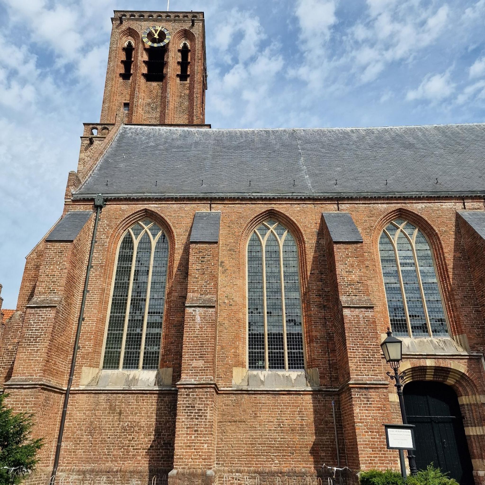
Hikes from bus stations in Schermannsöd
Hikes from bus stations around Waldkraiburg

Hikes from bus stations in Großhaager Forst

Hikes from bus stations in Mühldorfer Hart

#GoFurther – discover the views of Germany!
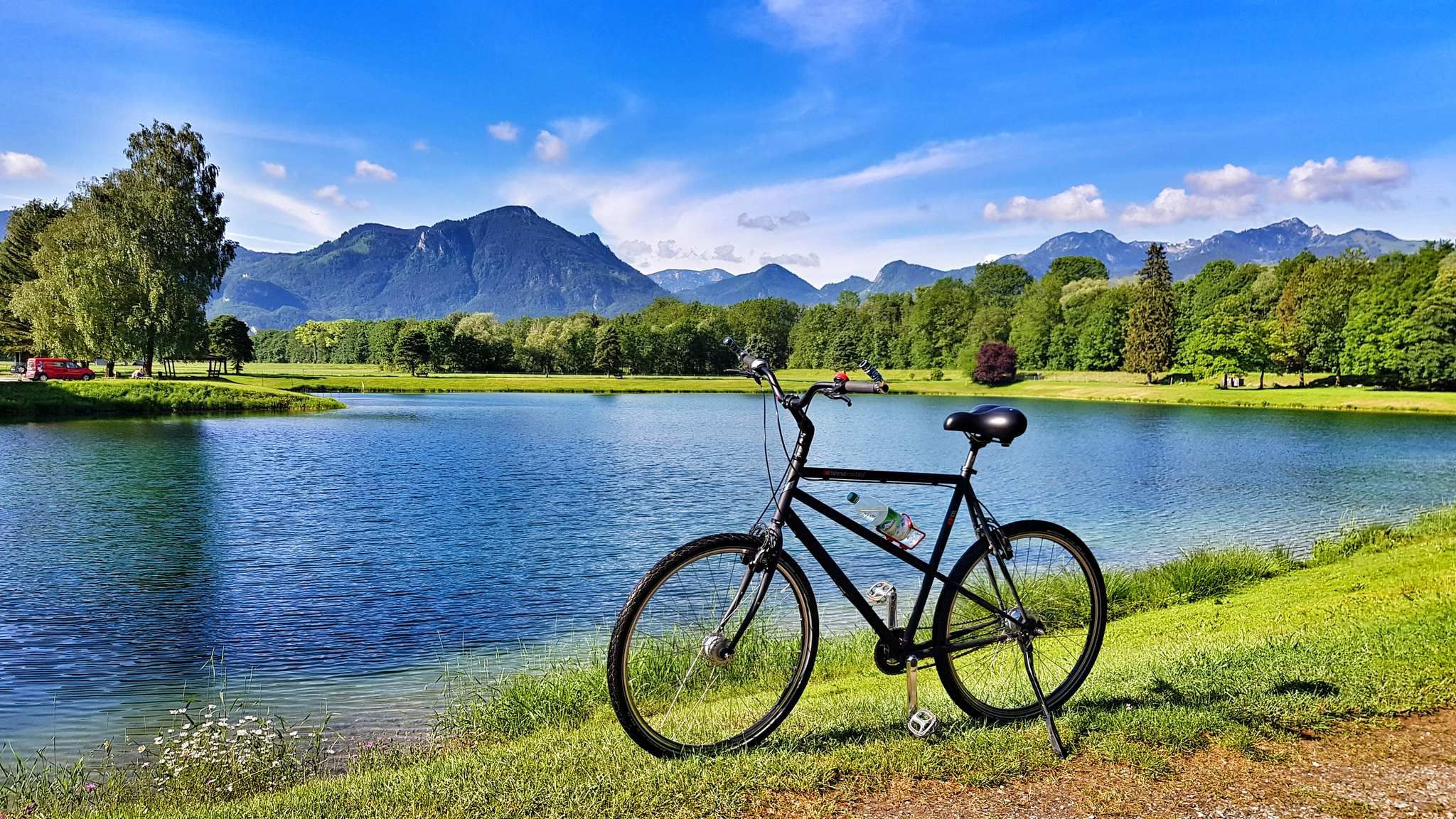
The Inn Cycle Path – From a babbling brook to a mighty river
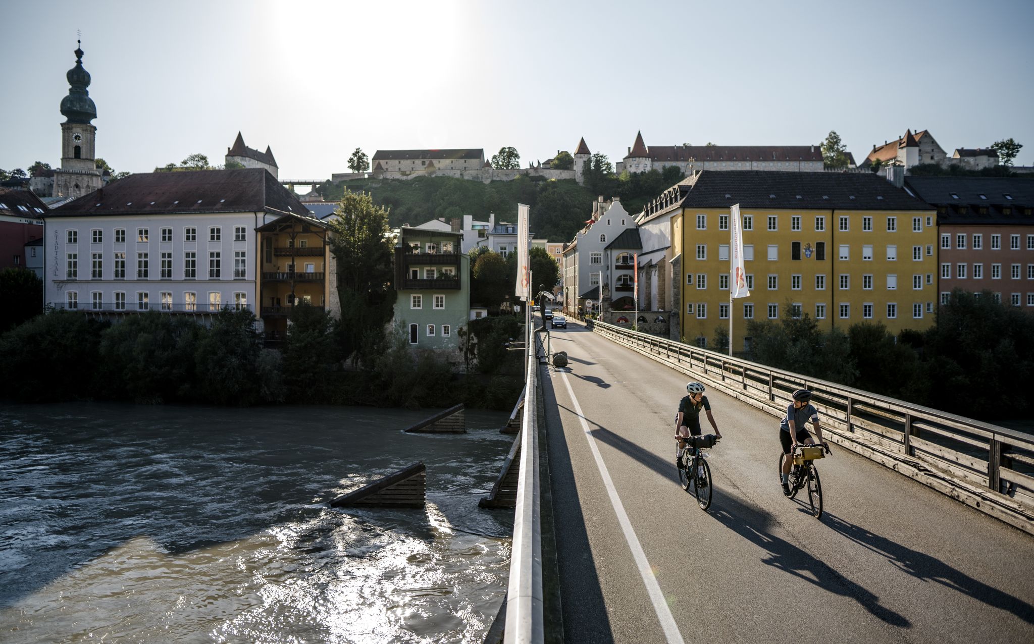
Salt & water – cycling Tours in the Inn-Salzach region in Upper Bavaria
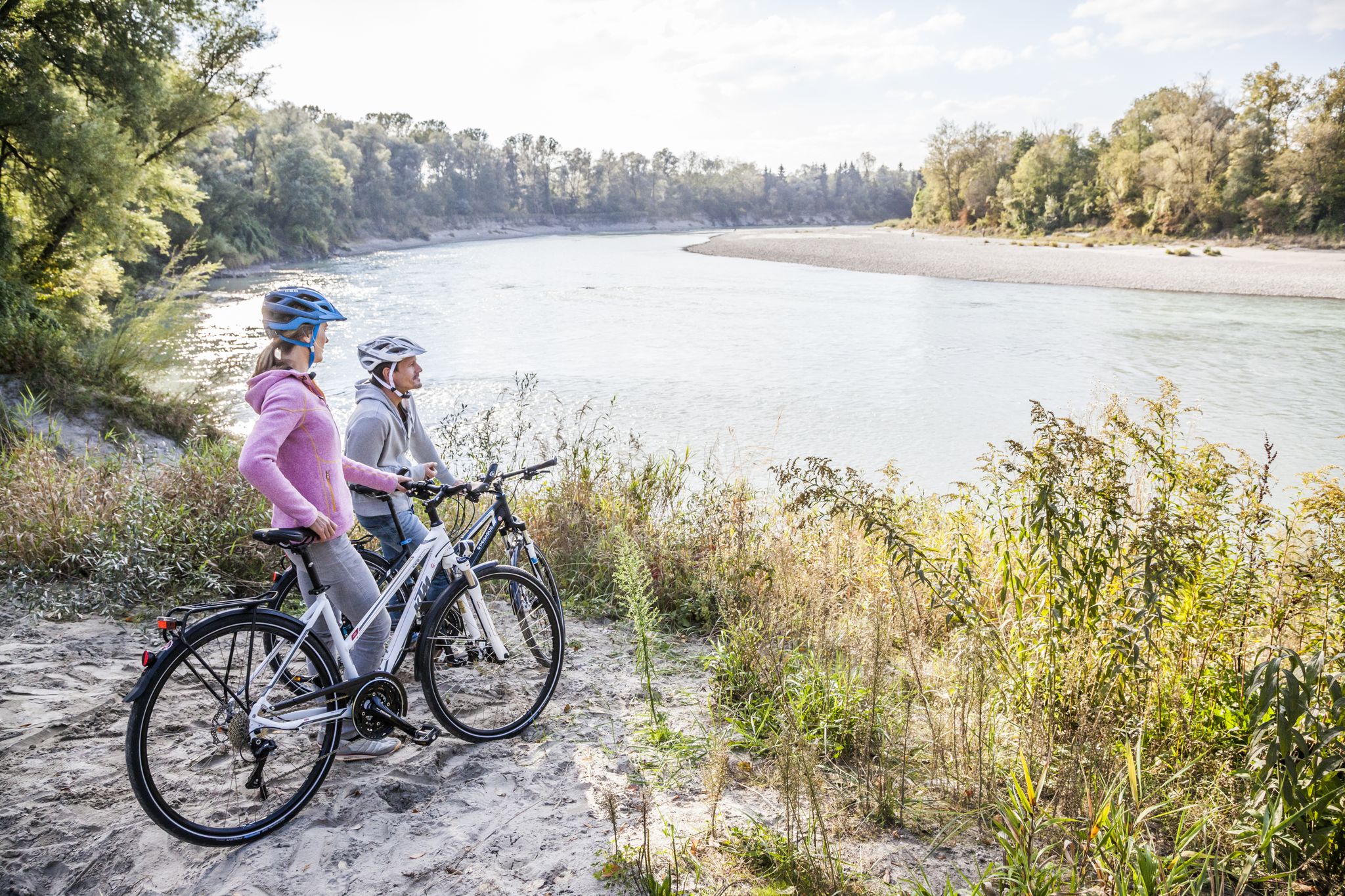
Cycling the Mühldorfer Radlstern in Bavaria – endless new experiences
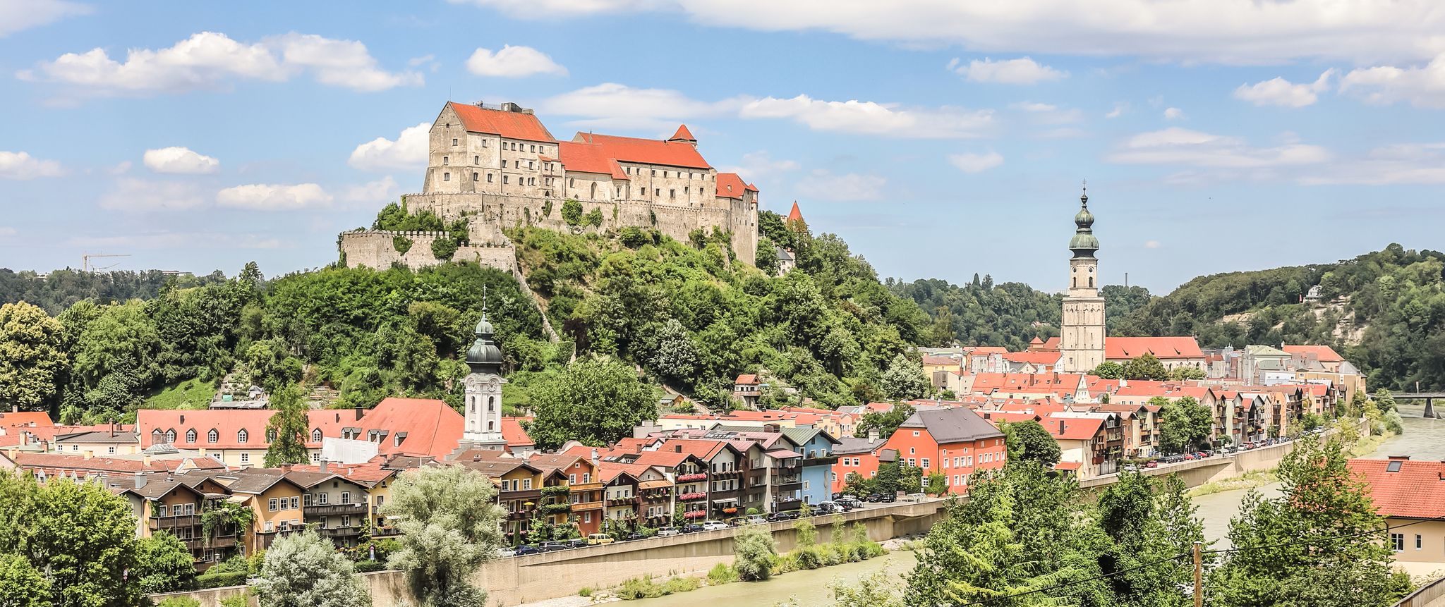
Top 10 cycling routes around Inn-Salzach in Bavaria
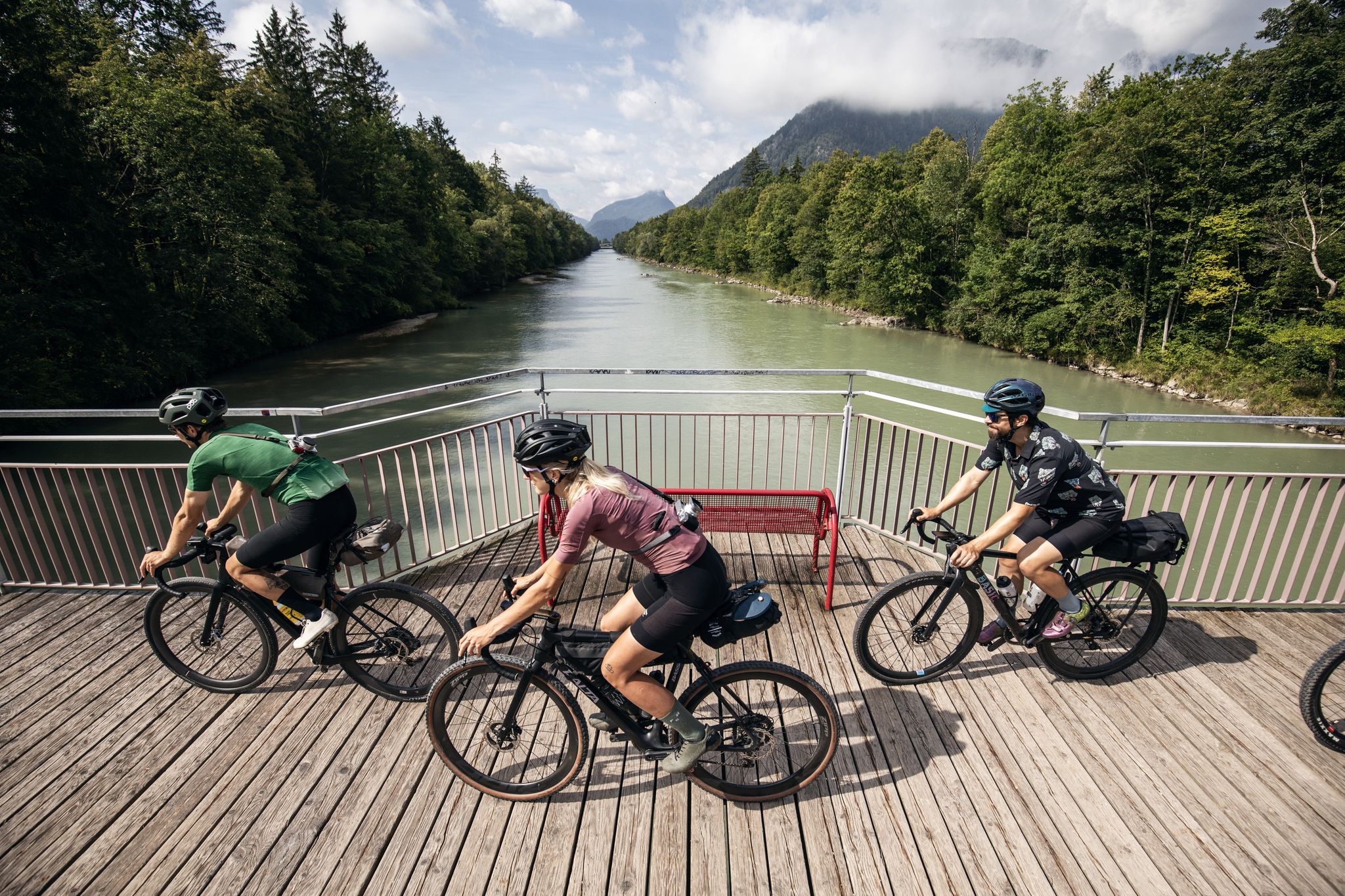
Salzschleife – Wasser-Radlwege Oberbayern
Other adventures in Landkreis Mühldorf am Inn


Tips from the Community

The entire "Jungle Path" is no longer recommended. At least not in summer with long trousers. The path is no longer maintained.
0
0

How often do you still take the ferry - see opening hours
0
0

The outlook is exciting
0
0

Very nice view of the Inn
0
0

A dead-ice basin is a dry, swampy, or water-filled depression formed by the melting of dead ice. Blocks of ice that break away from the glacier tongue during melting and remain there are called dead ice. Dead-ice basins in which a water-retaining layer has developed, or whose steep slopes sometimes extend below the groundwater level, are water-filled, swampy, or boggy. Their funnel shape allowed rain and meltwater to collect. These small bodies of water have experienced varying degrees of siltation and moor development, even within the same basin. The range of vegetation formations is very broad. It ranges from small reed beds to large sedge marshes, small sedge marshes, quaking grasslands, floating leaf and aquatic vegetation, transitional bogs, and even black alder swamps. Source: https://www.toteiskessel.de/uber-toteiskessel/was-ist-ein-toteiskessel/
0
0

The monastery church is really impressive. Next to the church there is a café and a garden center with public toilets. Dogs are not allowed in the cemetery. The most interesting things about the former monastery church are the cast stone Pietà (ca. 1430) and the choir stalls (ca. 1600). The gilded shrine with the bones of the blessed Kaspar Stanggassinger (d. 1899) is inserted into the "Salzburg Altar". Numerous votive offerings testify to a lively veneration of this blessed man from Berchtesgaden. More information at: https://www.inn-salzach.com/kloster-gars-am-inn-mit-kirche
1
0

(Location) Boundary stone no. 20 (south) of the former castle peace of the town of Mühldorf am Inn, set in 1664/65 File number: D-1-83-136-68
0
0
Frequently Asked Questions
How many bus-accessible hiking trails are available in Landkreis Mühldorf am Inn?
There are over 690 hiking trails in Landkreis Mühldorf am Inn that are easily accessible by bus. The majority of these, around 440, are rated as easy, making them suitable for a wide range of hikers.
What kind of natural landscapes can I expect to see on these bus-accessible hikes?
The region offers diverse landscapes, from the scenic Inn River meandering through the area to rolling hills and green forests. You can explore unique natural features like the Natur INN Bewegung Experience Trail along the Inn Riverbank, or discover the special flora and fauna of the Hochmoor bei Ampfing Nature Reserve. The area also features fascinating geological formations such as the "Toteiskessel" (kettle holes), which you can experience on routes like the Toteiskessel Wetland loop from Haag in Oberbayern.
Are there easy, family-friendly hiking options accessible by bus?
Yes, many routes are perfect for families. The Inn Riverbank in Mühldorf – Natur INN Bewegung Experience Trail is particularly suitable, featuring 11 interactive stations that engage all ages. Another great option is the Natur INN Bewegung Experience Trail – Inn Ferry Mühldorf loop, which even includes a unique river crossing by ferry in summer.
Can I bring my dog on these bus-accessible trails?
Most hiking trails in Landkreis Mühldorf am Inn are dog-friendly, but it's always advisable to keep your dog on a leash, especially in nature reserves or areas with livestock. The paths along the Inn River, for example, offer plenty of space for walks with your canine companion.
Are there any circular routes starting from bus stations?
Absolutely. Many of the bus-accessible trails are designed as circular routes, allowing you to start and end your hike at the same bus stop. Examples include the Toteiskessel Wetland loop from Haag in Oberbayern and the Bench With a View of the Inn – Klostercafé Gars am Inn loop.
What cultural or historical attractions can I explore near the bus station hiking trails?
Beyond natural beauty, the region offers charming cultural sights. You can visit historic town centers with distinctive Inn-Salzach architectural styles, such as the Mühldorf Town Square or Kraiburg Town Square. The beautifully renovated Haag Castle, a 16th-century 'water castle', is also a notable historical point of interest.
When is the best time of year to go hiking from bus stations in Landkreis Mühldorf am Inn?
The best seasons for hiking are spring and autumn, when the weather is pleasantly mild and nature is at its most vibrant. Spring is particularly recommended for visiting the Hochmoor bei Ampfing Nature Reserve when rare plants are in bloom. In summer, it's best to hike during cooler morning or evening hours.
Are there opportunities to enjoy views of the Inn River on these routes?
Yes, the Inn River is a central feature of the region, and many bus-accessible trails offer stunning views. The Bench With a View of the Inn – Klostercafé Gars am Inn loop is specifically named for its river vistas, and the Mühldorf Inn Bridge also provides excellent viewpoints.
Can I find refreshments or cafes along these bus-accessible routes?
Many routes pass through or near towns and villages where you can find cafes and restaurants. For example, the Bench With a View of the Inn – Klostercafé Gars am Inn loop starts near the Klostercafé, offering a convenient stop for refreshments.
What do other hikers say about the bus station trails in Landkreis Mühldorf am Inn?
The komoot community highly rates the trails in this region, with an average score of 4.5 stars. Hikers often praise the well-marked paths, the diverse natural scenery, and the convenience of accessing routes directly from public transport.
Are there any trails that explore the unique 'Toteiskessel' geological formations?
Yes, the region is known for its unique 'Toteiskessel' or kettle holes. You can explore these fascinating depressions, formed by melting ice blocks, on routes such as the Toteiskessel Wetland loop from Haag in Oberbayern, which showcases the broad range of vegetation found in these special areas.
Are there any longer or more challenging bus-accessible hikes available?
While many routes are easy to moderate, there are options for longer excursions. For instance, the Inn Jungle Nature Trail loop from Ebing is a moderate hike spanning nearly 12 kilometers, offering a more extended experience of the riparian forests along the Inn.
Most popular routes in Landkreis Mühldorf am Inn
Most popular attractions in Landkreis Mühldorf am Inn

Get inspired with the komoot mobile app


Didn’t find what you were looking for?
Check out more Hikes throughout Landkreis Mühldorf am Inn below and find the perfect route in your destination.
Explore more
Browse the best Hikes in other regions.
