The best hikes from bus stations in the Ostallgäu
4.5
(68143)
309,112
hikers
1,829
hikes
Hiking in the Ostallgäu offers diverse landscapes, from rolling hills and expansive valleys to the foothills of the Alps. The region features numerous lakes, including Alpsee, Weissensee, and Alatsee, alongside scenic rivers like the Lech. Dense forests and verdant meadows characterize much of the terrain, providing varied environments for bus station hiking trails. This combination of natural features makes Ostallgäu a destination for outdoor activities.
Best bus station hiking trails in the Ostallgäu
- The most popular bus station hiking route…
Last updated: October 8, 2026
4.7
(1387)
5,690
hikers
Easy hike. Great for any fitness level. Easily-accessible paths. Suitable for all skill levels.
4.8
(1367)
5,534
hikers
Easy hike. Great for any fitness level. Easily-accessible paths. Suitable for all skill levels.

4.7
(961)
4,056
hikers
9.61km
03:32
520m
520m
Moderate hike. Good fitness required. Mostly accessible paths. Sure-footedness required.
4.8
(909)
3,103
hikers
11.0km
03:59
510m
510m
Moderate hike. Good fitness required. Mostly accessible paths. Sure-footedness required.
4.8
(751)
2,602
hikers
9.43km
02:49
230m
230m
Moderate hike. Good fitness required. Mostly accessible paths. Sure-footedness required.
Get access to more routes and recommendations from other explorers.
Already have an account?
Our route recommendations are based on thousands of hikes, rides, and runs completed by other people on komoot.
Start today with a free account
Your next adventure awaits.
Popular around Ostallgäu

Hikes from bus stations around Füssen
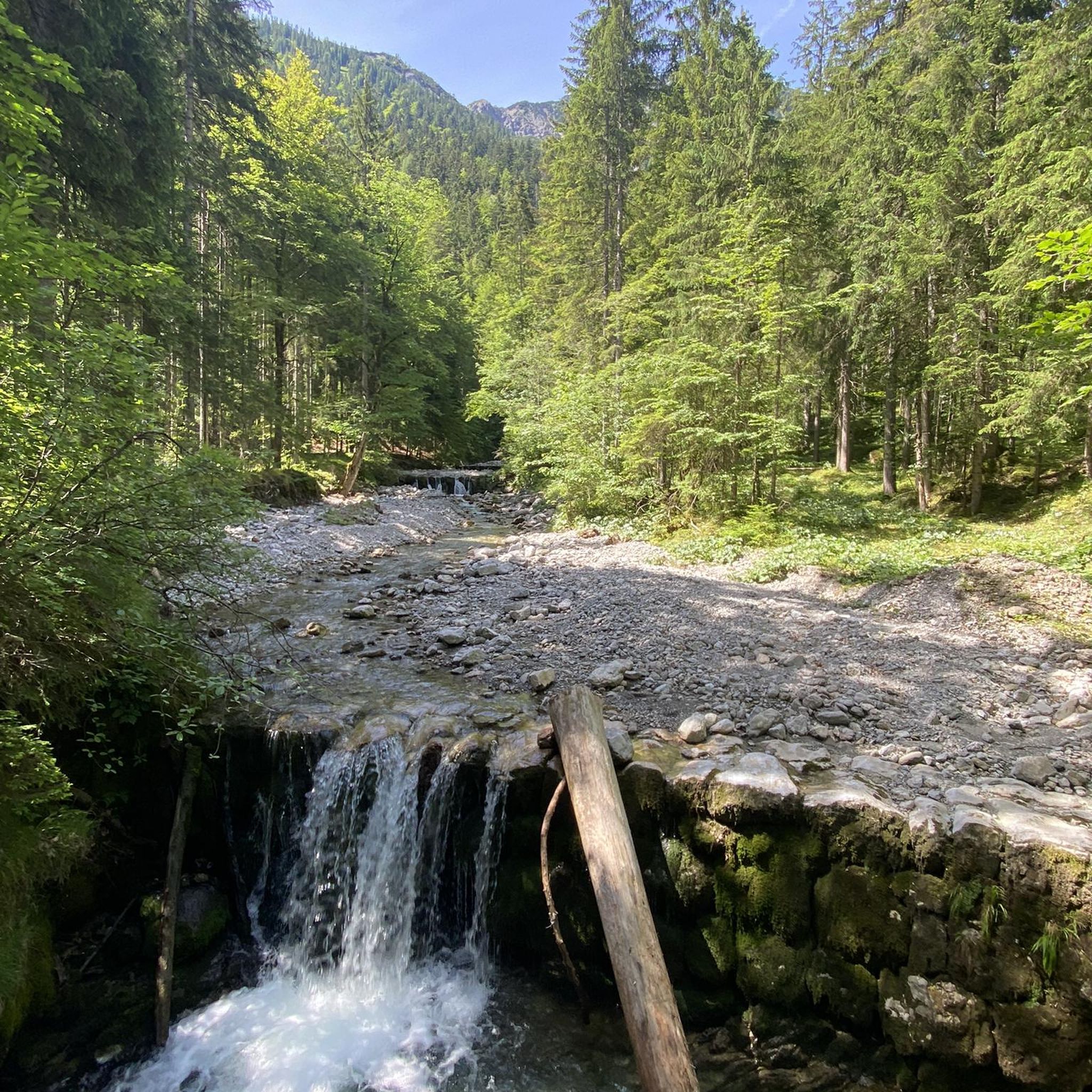
Hikes from bus stations in Schwarzenberg
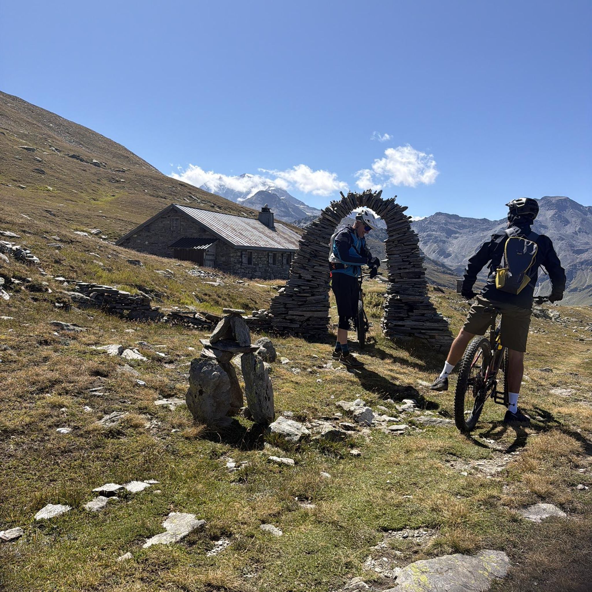
Hikes from bus stations around Forggensee
Hikes from bus stations around Weißensee
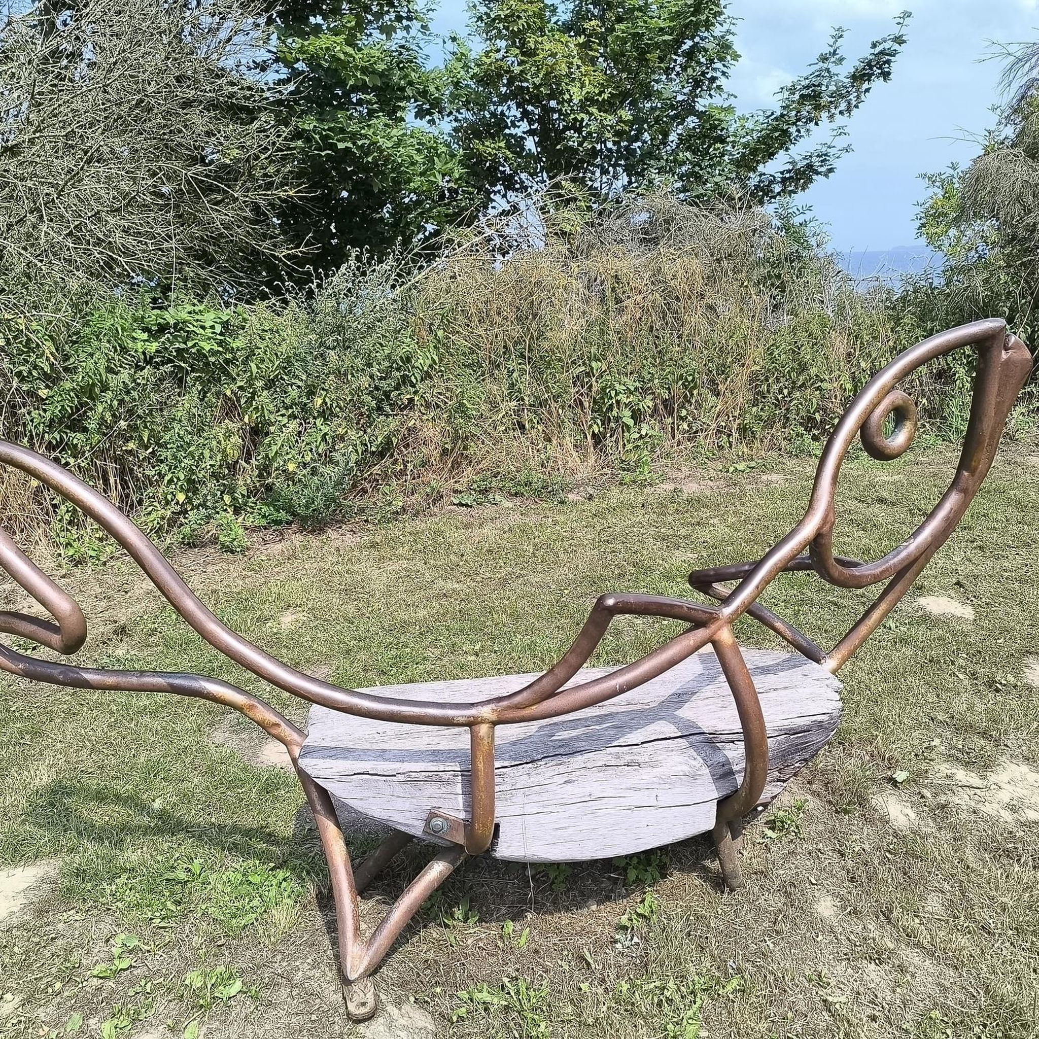
Hikes from bus stations around Alpsee
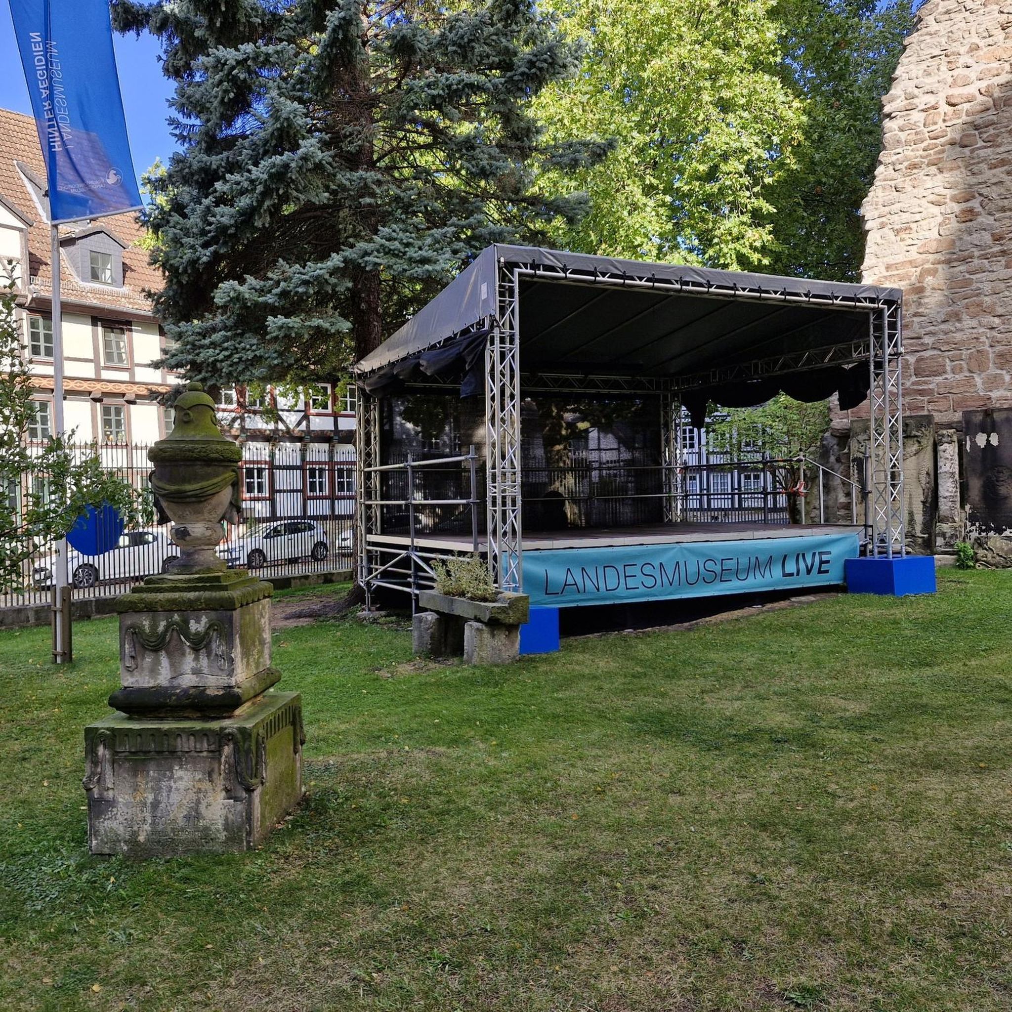
Hikes from bus stations around Hopfensee
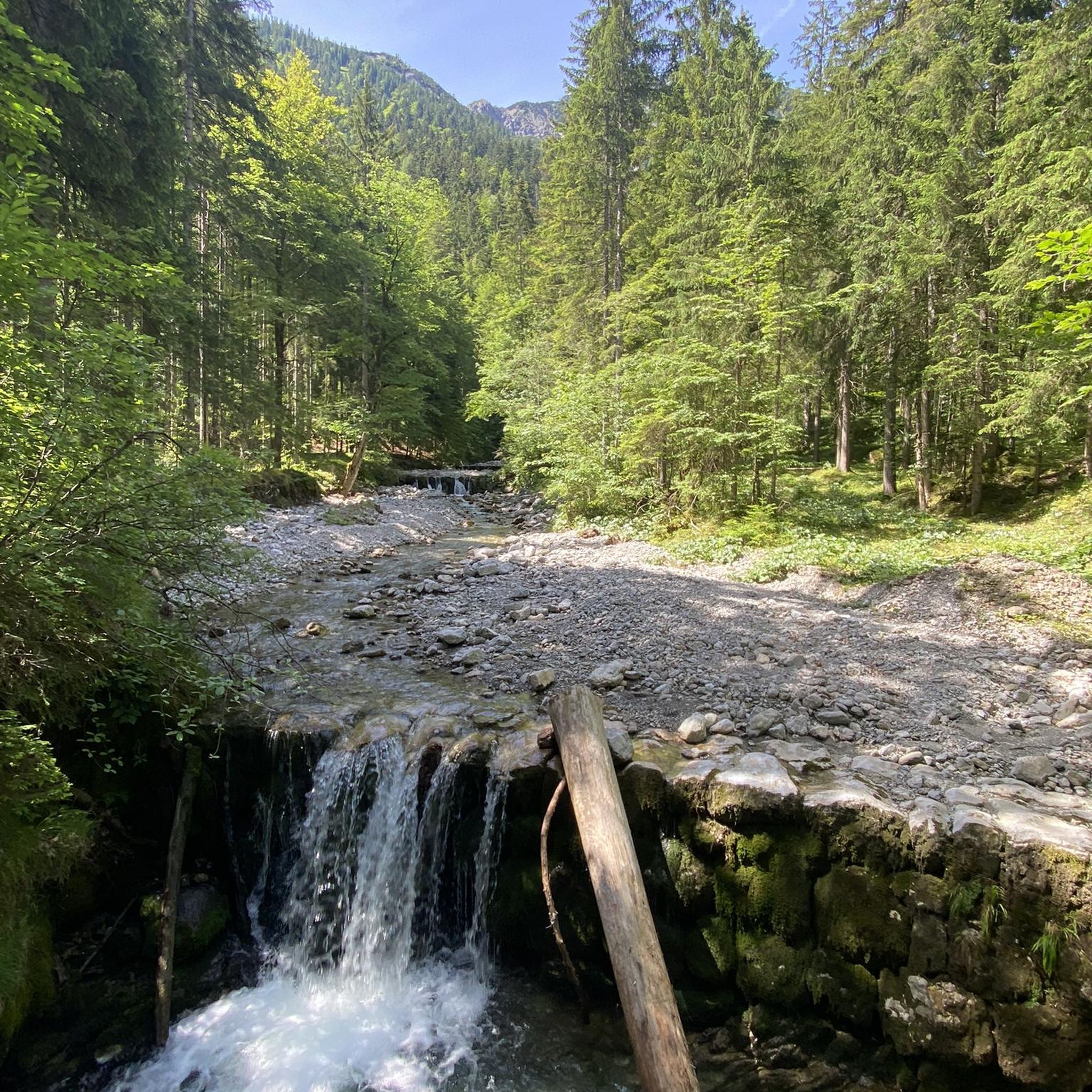
Hikes from bus stations around Schwansee
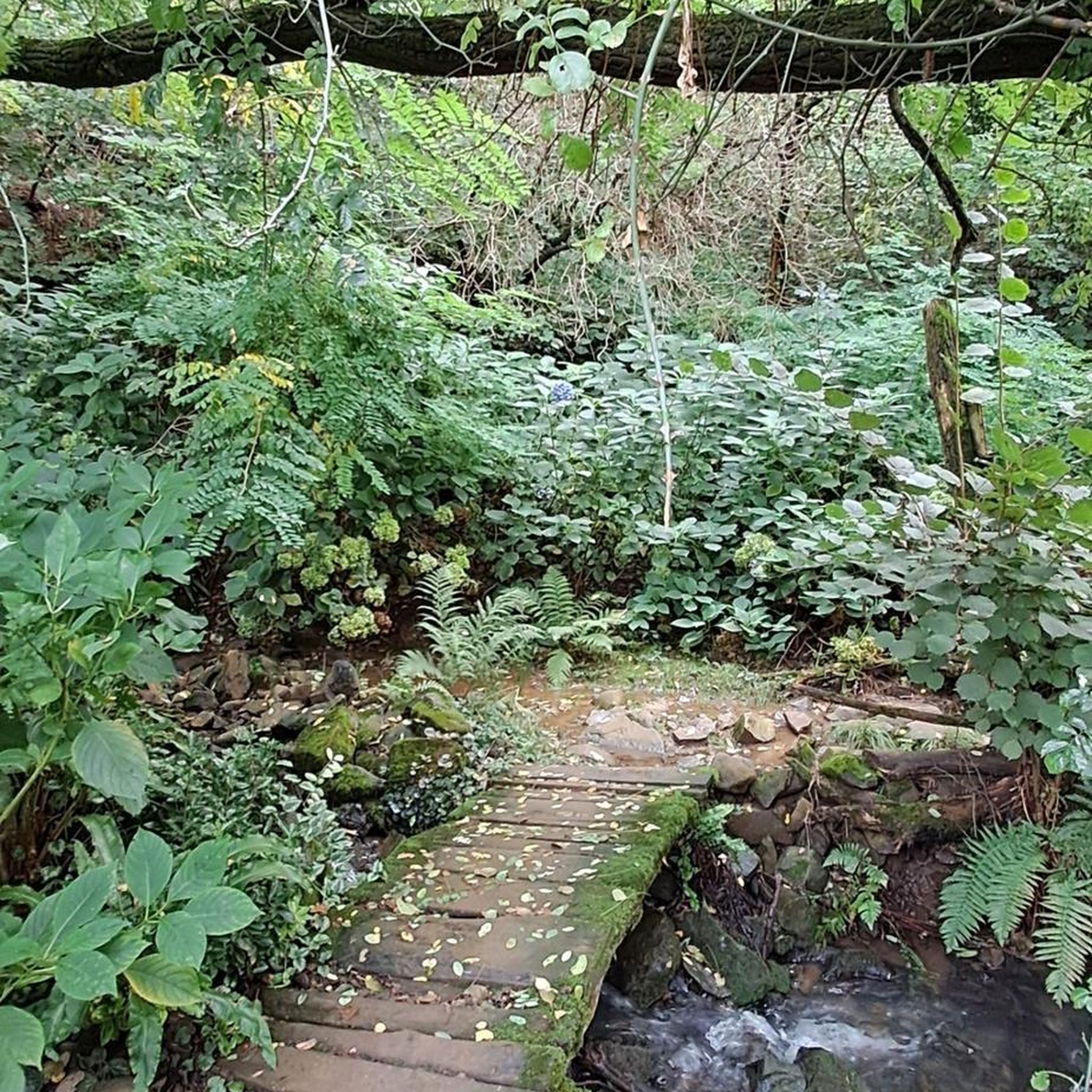
Hikes from bus stations around Bannwaldsee

Hikes from bus stations around Marktoberdorf
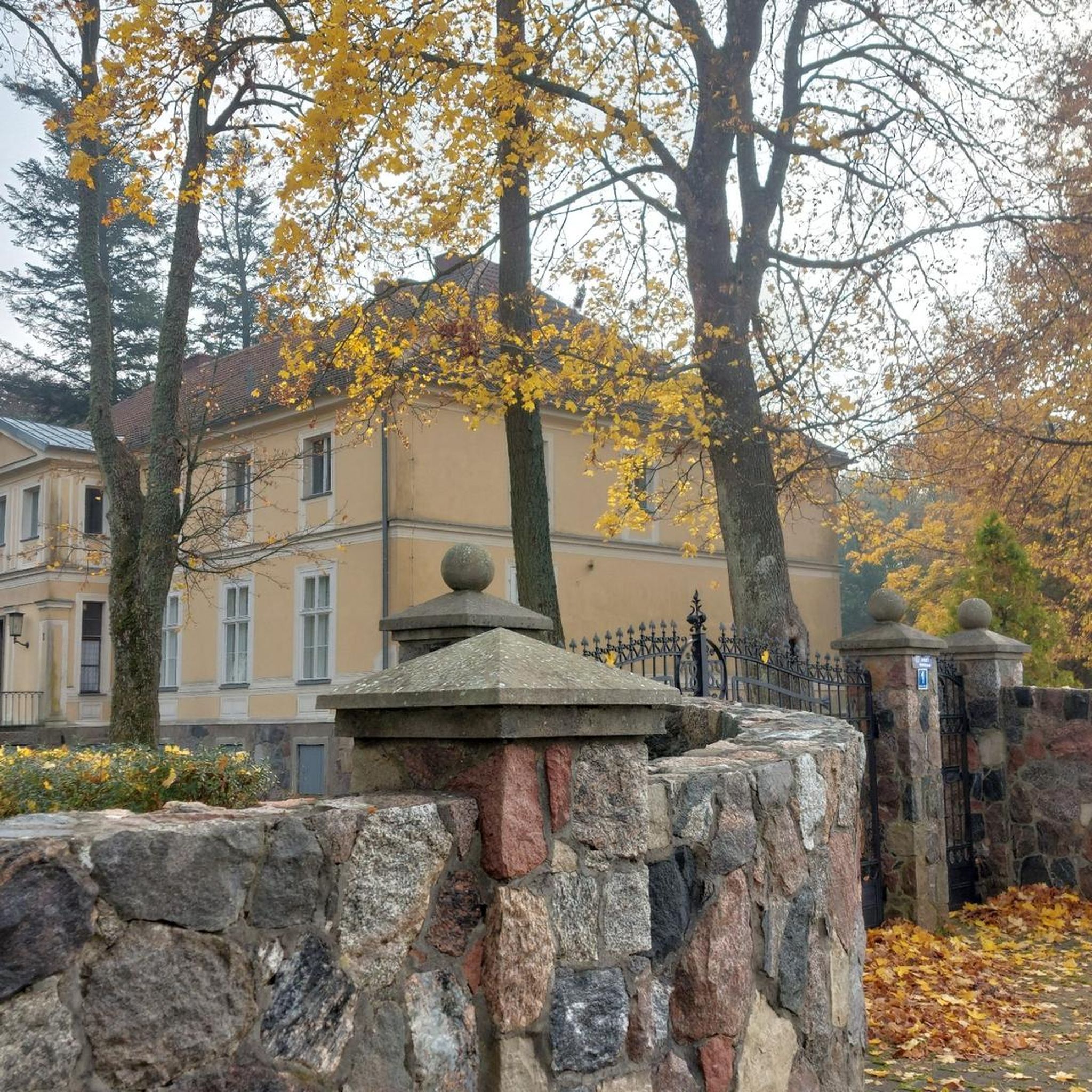
Hikes from bus stations around Eisenberg
Other adventures in the Ostallgäu


Tips from the Community

The Hohes Schloss Füssen is one of the most significant late Gothic buildings in Bavaria and shapes the silhouette of Füssen's old town.
7
0
The view of St. Mang's Abbey is one of the most beautiful sights in the old town of Füssen. With its large towers and baroque facade, the former Benedictine monastery shapes the cityscape. The St. Mang's Abbey was founded in the 9th century and later expanded into an important baroque monastery complex. Today, it houses, among other things, the Füssen City Museum and the magnificent baroque monastery church. It is a central point on a tour through Füssen.
4
0

St. Mang's Abbey is a former Benedictine monastery in Füssen and is one of the city's most significant structures. It was named after Saint Magnus, who is considered the patron saint of the Allgäu region. Today, the monastery houses a museum, among other things, and impresses visitors with its baroque architecture.
2
0

the view is always worth stopping for, in summer as well as in winter
1
0

A pretty little lake with a beautiful view of the Alps.
0
0
A nice spot to take a break.
0
0

Discover the fascinating history of the former St. Mang Monastery, which dates back to an 8th-century cell of St. Magnus. For centuries, the Benedictine abbey was an important religious, cultural, and economic center of the region—from the mid-9th century until its secularization in 1802. High above the picturesque banks of the Lech River rises the magnificent Baroque monastery complex, built at the beginning of the 18th century under the direction of the renowned architect Johann Jakob Herkomer.
1
1
Always beautiful views of the Forggensee and Bannwaldsee on the route
0
0
Frequently Asked Questions
How many bus-accessible hiking trails are there in Ostallgäu?
Ostallgäu offers a vast network of hiking trails, with over 1700 routes that can be accessed via public transport. This includes a wide variety of options, from easy strolls to more challenging mountain tours, ensuring there's something for every hiker.
Are there easy hiking trails accessible by bus in Ostallgäu?
Yes, Ostallgäu is very welcoming to hikers of all abilities. You'll find over 1000 easy routes that are accessible by bus, perfect for a relaxed day out. An example is the Weissensee (Füssen) – Rock gate at the Weißensee loop from Weißensee, which offers a gentle walk around the lake.
What do other hikers say about the bus-accessible trails in Ostallgäu?
The bus-accessible trails in Ostallgäu are highly regarded by the komoot community, with an average rating of 4.55 out of 5 stars from over 57,000 ratings. Hikers frequently praise the diverse landscapes, well-maintained paths, and the convenience of reaching trailheads without a car.
Can I find circular hiking routes that start and end at a bus station in Ostallgäu?
Absolutely. Many of the bus-accessible routes in Ostallgäu are designed as circular tours, allowing you to start and finish your hike at the same bus stop. This makes planning your day trip straightforward and convenient. For example, the Alatsee south shore – Weissensee (Füssen) loop from Weißensee is a moderate circular route.
Which bus-accessible hikes offer views of Neuschwanstein Castle?
Several bus-accessible trails provide stunning views of the iconic Neuschwanstein Castle. One popular option is the View of Neuschwanstein Castle – Rohrkopf Hut loop from Schwangau, which offers breathtaking vistas of the fairytale castle perched high on its rock.
Are there bus-accessible trails that pass by lakes or waterfalls in Ostallgäu?
Yes, Ostallgäu is rich in natural water features. You can find bus-accessible routes that lead along the shores of beautiful lakes like Lake Alpsee or the Weissensee. The Lech riverbank on the Auwaldpfad – Lechfall loop from Schwangau will take you past the impressive Lechfall.
What kind of landscapes can I expect on bus-accessible hikes in Ostallgäu?
Ostallgäu's bus-accessible trails traverse incredibly diverse landscapes. You'll experience everything from rolling hills and expansive valleys to majestic mountains and the charming foothills of the Alps. Expect to see dense forests, verdant meadows, shimmering lakes, and panoramic viewpoints offering extensive views across the region.
Are there family-friendly hiking trails accessible by bus in Ostallgäu?
Many bus-accessible trails in Ostallgäu are suitable for families. Look for easy-rated routes that are shorter in distance and have minimal elevation gain. These often follow lake shores or gentle forest paths, providing a pleasant experience for all ages. The region's well-maintained trails and scenic beauty make it ideal for family outings.
Can I bring my dog on bus-accessible hiking trails in Ostallgäu?
Generally, dogs are welcome on hiking trails in Ostallgäu, provided they are kept on a leash, especially in nature reserves or near livestock. When using public transport to reach trailheads, it's advisable to check the specific bus company's regulations regarding pets. Always remember to carry water for your dog and clean up after them.
Are there places to eat or drink near bus-accessible trailheads in Ostallgäu?
Yes, many bus-accessible trailheads in Ostallgäu are located near villages or towns that offer various dining options, from traditional Bavarian guesthouses to cafes. You'll also find huts and restaurants along some routes, particularly in more popular hiking areas, perfect for a refreshing break or a hearty meal after your hike.
What is the best time of year for bus-accessible hiking in Ostallgäu?
The best times for bus-accessible hiking in Ostallgäu are spring and autumn, when nature is in full splendor with vibrant colors and temperatures are pleasant. Summer is also popular, though it can be warmer. Winter offers enchanting winter hiking trails through snow-covered landscapes, but some higher-altitude routes may be inaccessible.
How long do bus-accessible hikes in Ostallgäu typically take?
The duration of bus-accessible hikes in Ostallgäu varies greatly depending on the route's length and difficulty. Easy trails, like the Weissensee (Füssen) loop, can take around 1.5 to 2 hours. Moderate routes, such as the Salober Alm – Alatsee north shore loop, might take 3 to 4 hours or more, offering options for half-day or full-day adventures.
Most popular routes in the Ostallgäu
Most popular attractions in the Ostallgäu

Get inspired with the komoot mobile app


Didn’t find what you were looking for?
Check out more Hikes throughout Ostallgäu below and find the perfect route in your destination.
Explore more
Browse the best Hikes in other regions.
