The best hikes from bus stations around Millstätter See
4.5
(7367)
31,304
hikers
300
hikes
Bus station hiking trails around Millstätter See are characterized by a diverse landscape featuring the clear waters of the lake, surrounded by forested slopes that ascend towards the Nockberge mountains. The region includes alpine pastures and gentle peaks, offering varied terrain from lakeside paths to higher elevation routes. Hikers can expect a mix of forest trails, open meadows, and views across the lake and surrounding mountain ranges. The area provides access to both tranquil lakeside experiences and more challenging mountain…
Last updated: August 20, 2026
4.7
(569)
1,771
hikers
7.63km
02:18
240m
240m
Moderate hike. Good fitness required. Easily-accessible paths. Suitable for all skill levels.
4.7
(440)
1,361
hikers
7.18km
02:15
230m
230m
Moderate hike. Good fitness required. Mostly accessible paths. Sure-footedness required.

Sign up for free
4.8
(273)
1,217
hikers
5.09km
01:29
140m
140m
Easy hike. Great for any fitness level. Easily-accessible paths. Suitable for all skill levels.
4.8
(149)
670
hikers
10.0km
03:06
350m
350m
Moderate hike. Good fitness required. Mostly accessible paths. Sure-footedness required.
4.8
(74)
233
hikers
Hard hike. Very good fitness required. Mostly accessible paths. Sure-footedness required.
Get access to more routes and recommendations from other explorers.
Sign up for free
Already have an account?
Our route recommendations are based on thousands of hikes, rides, and runs completed by other people on komoot.
Start today with a free account
Your next adventure awaits.
Login or Signup
Popular around Millstätter Lake

Ruperti Trail – Hike from Austria's Bohemian Forest to the Carnic Alps
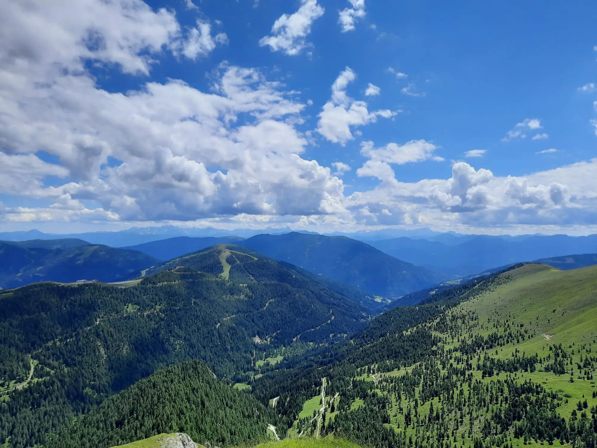
Hiking the Lake Millstatt Trail in Austria – One lake, 10 mountains, 12 days

Alpe-Adria-Trail: My long-distance hike from the glacier to the sea
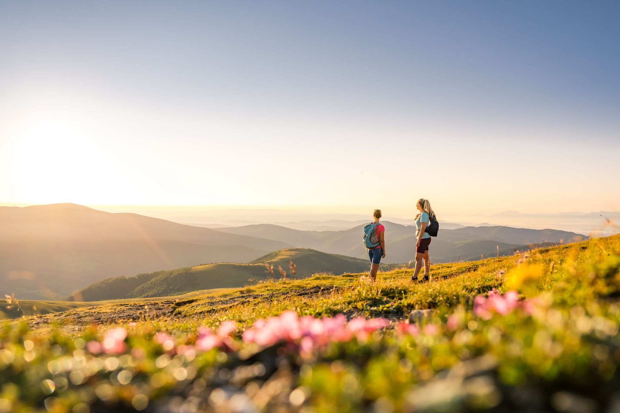
Spectacular and historic – long-distance hiking in Carinthia
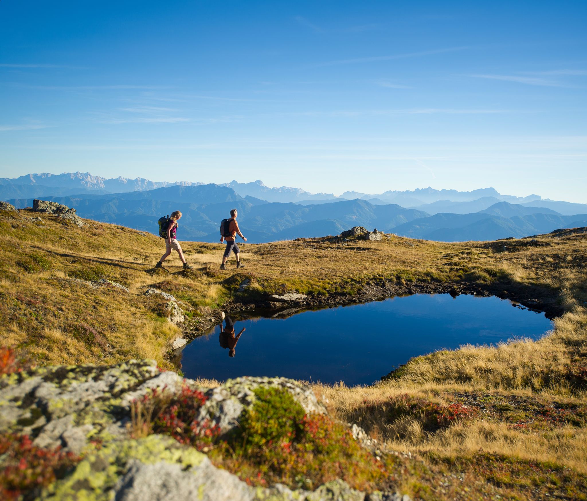
Hiking Without a Footprint on the Alpe-Adria-Trail
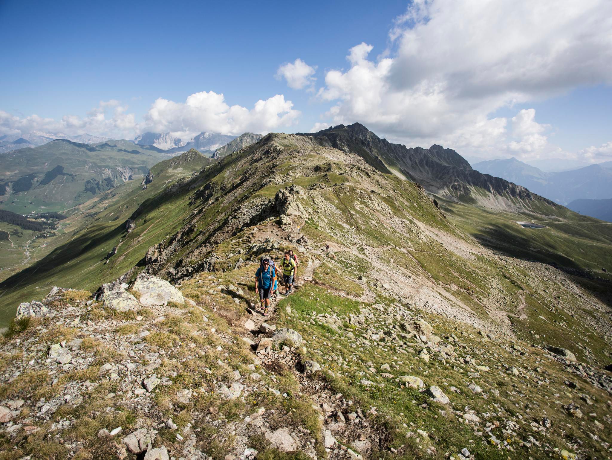
Mountain panoramas and quality trails in Austria's hiking villages
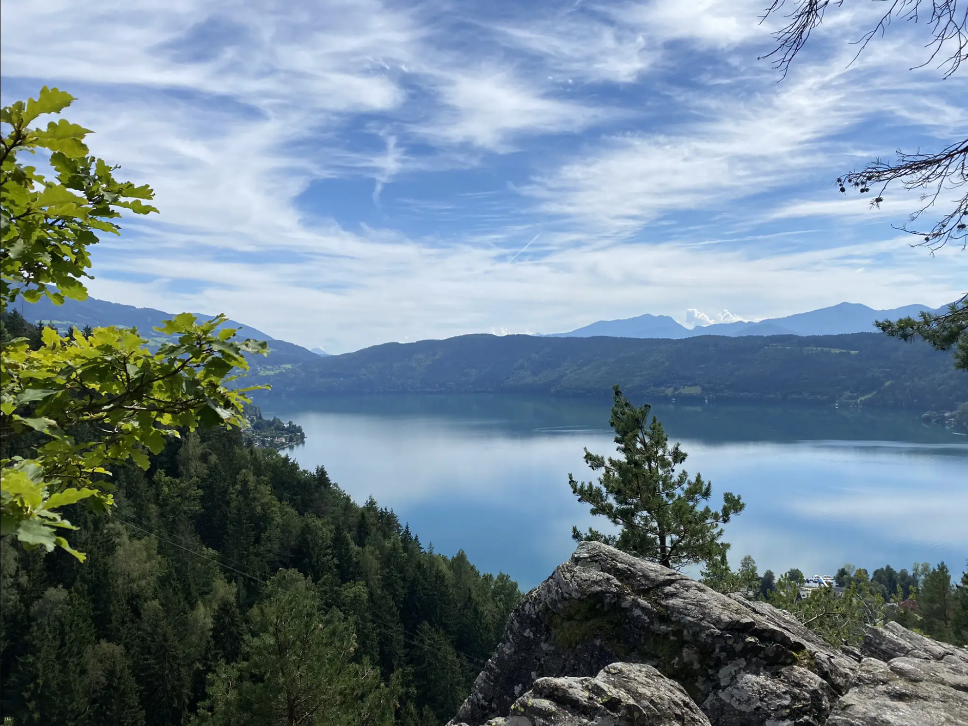
Via Paradiso – Experience the magic of hiking at Lake Millstätter
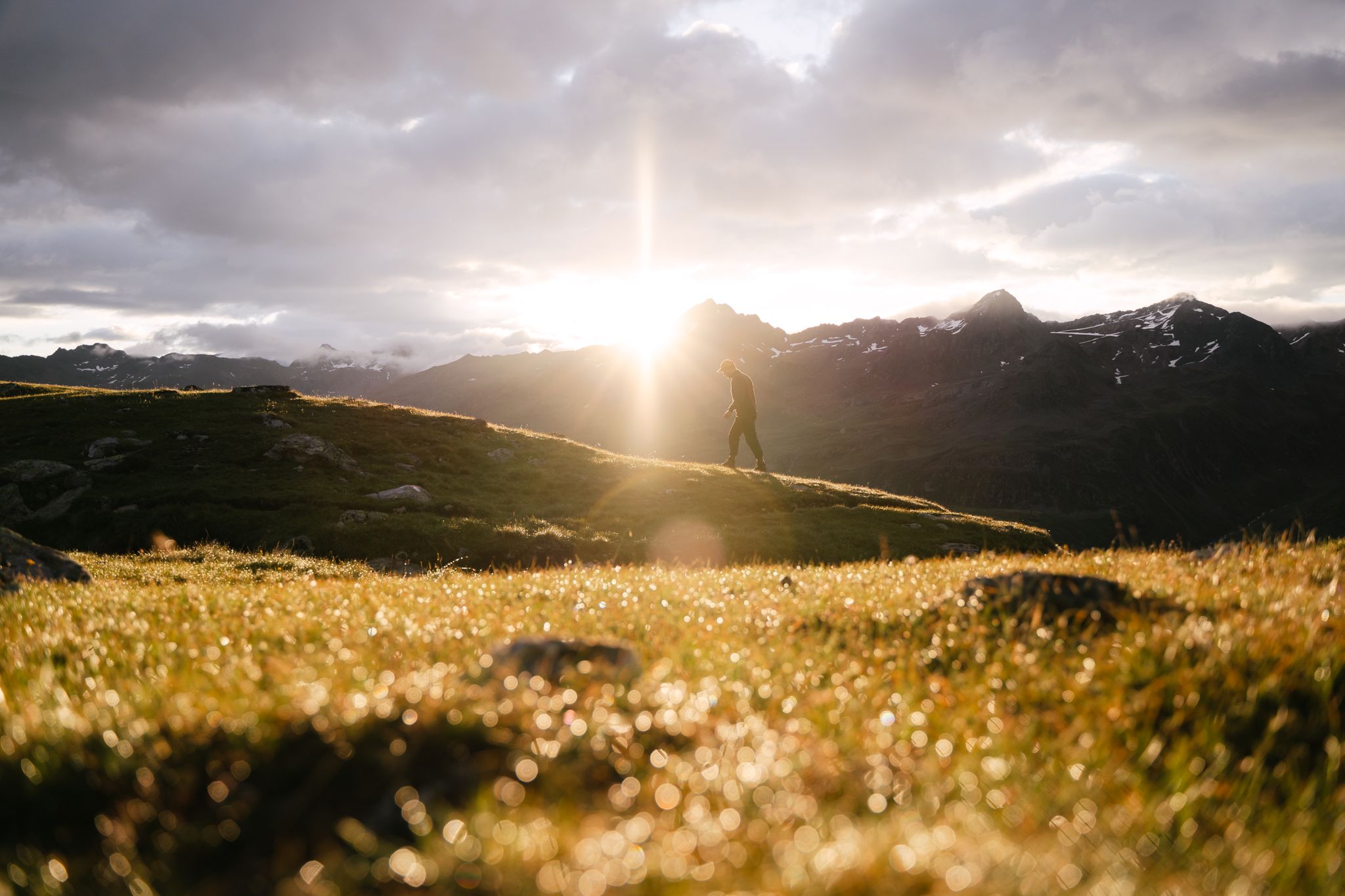
Hike and experience Austrian hospitality
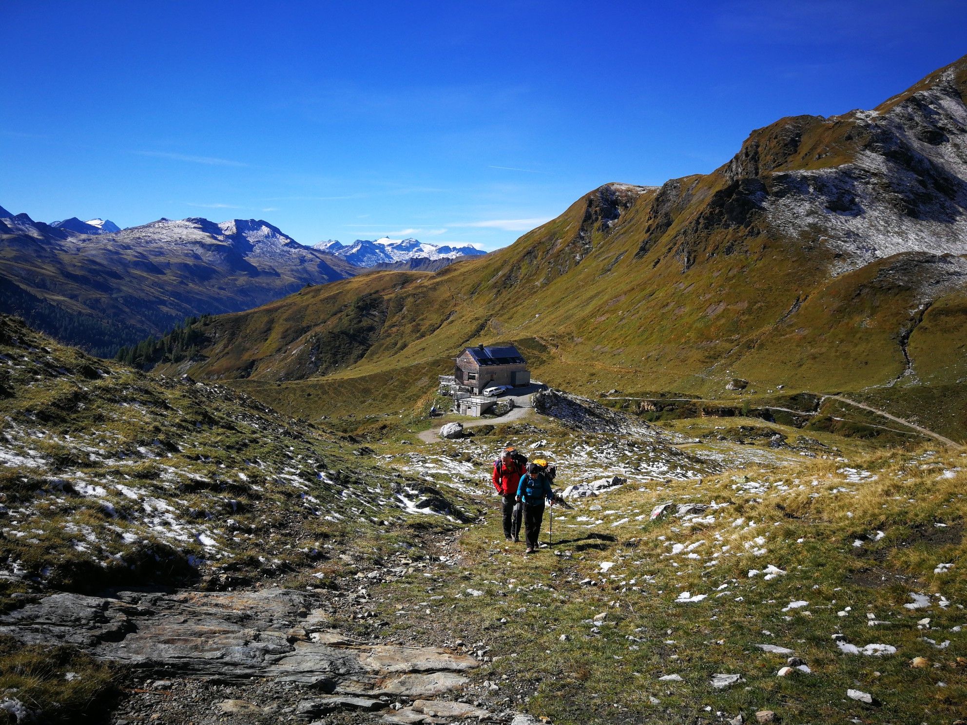
Lower Austria to Carinthia — our favourite huts in Austria
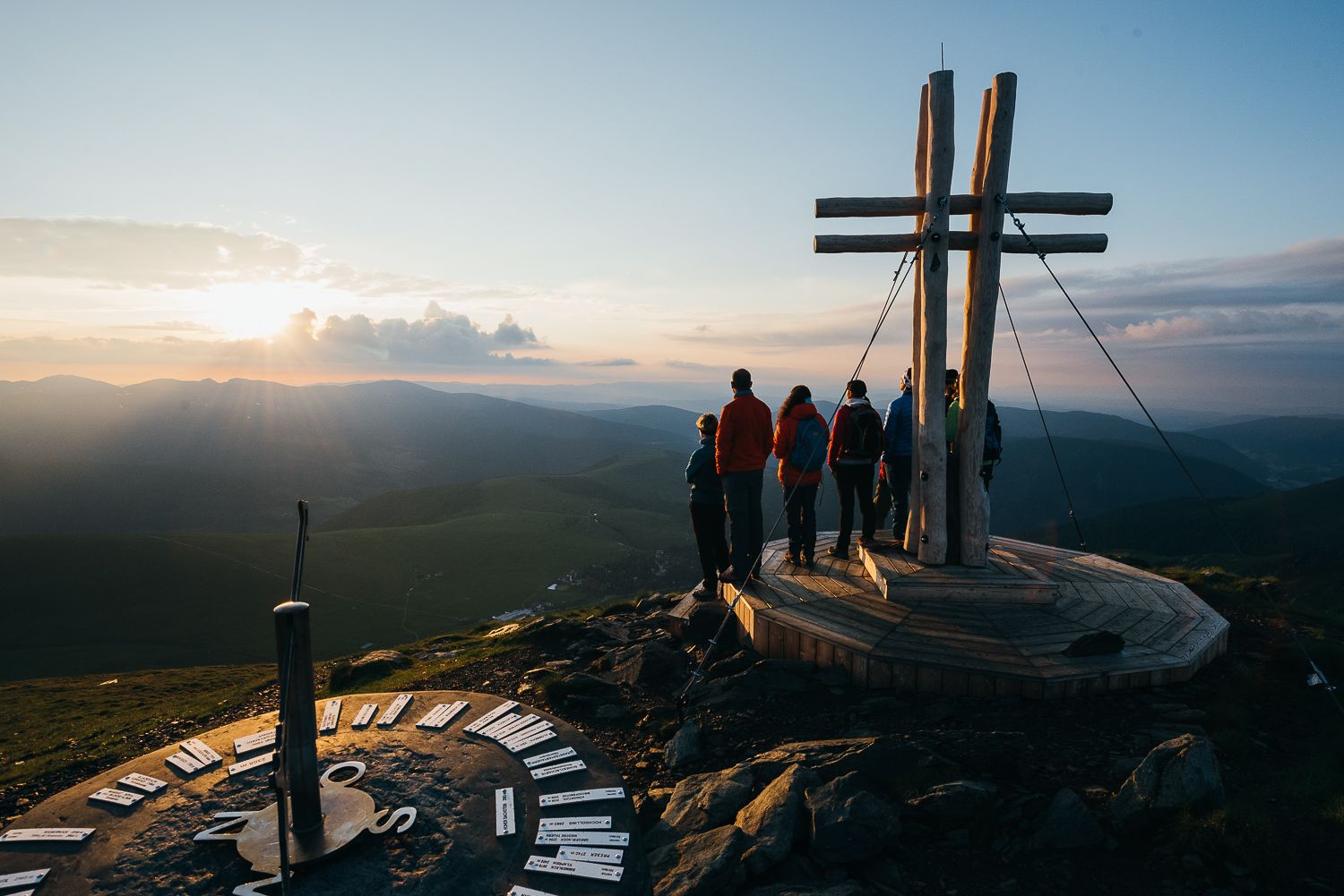
The mountains at sunrise — hikes in Austria’s Nock mountains
Other adventures around Millstätter See


Tips from the Community

Here you can hike in a relaxed manner
0
0

Great nature above Lake Mittstätter See … definitely worth a try 👍
2
0


Super beautiful view of Lake Millstatt, Millstatt and the mountains
0
0
Here you have a great view
1
1
Frequently Asked Questions
How many hiking trails around Millstätter Lake are accessible directly from bus stations?
There are over 300 hiking trails around Millstätter Lake that are conveniently accessible from bus stations, making it easy to explore the diverse landscapes without a car. These routes range from leisurely lakeside strolls to more challenging mountain ascents.
What kind of difficulty levels can I expect on bus-accessible hikes around Millstätter Lake?
The bus-accessible hikes around Millstätter Lake cater to all experience levels. You'll find a wide range of options, including over 110 easy routes perfect for beginners or relaxed outings, 150 moderate trails for those seeking a bit more challenge, and nearly 40 difficult routes for experienced hikers looking for demanding ascents in the Nockberge mountains or Millstätter Alpe.
Are there any bus-accessible circular hikes around Millstätter Lake?
Yes, many of the trails accessible by bus are circular routes, allowing you to start and end your hike at the same bus stop. For example, the View of Lake Millstatt – Klieberteich loop from Millstatt is an easy circular option, or for a moderate challenge, consider the Small Stream Crossing – View of Lake Millstatt loop from Döbriach.
What natural features or landmarks can I see along bus-accessible hiking trails?
The region offers a wealth of natural beauty and landmarks. Many trails provide stunning views of Lake Millstatt itself. You might encounter waterfalls, such as on the Weißer Felsen Viewpoint – Gschritbach Waterfall loop from Matzelsdorf. The Nockberge mountains, a UNESCO Biosphere Reserve, offer gentle, grassy peaks, while the Millstätter Alpe features alpine pastures and summits like Kamplnock. Keep an eye out for ruby-red garnet stones, especially along sections of the Millstätter See Höhensteig.
Are there any family-friendly bus-accessible hikes around Millstätter Lake?
Absolutely. Millstätter Lake offers numerous family-friendly routes that are easily reached by bus. Many of the easy and moderate trails are suitable for families, often featuring gentle inclines and scenic viewpoints. The lakeside paths and themed trails, like the educational bee trail, are particularly popular with children.
Can I bring my dog on bus-accessible hiking trails in the Millstätter Lake region?
Yes, many trails in the Millstätter Lake region are dog-friendly. It's generally advisable to keep your dog on a leash, especially in nature reserves, near livestock, or in crowded areas. Always ensure you carry enough water for your dog and clean up after them. Check local regulations for specific trails or bus services regarding pet transport.
What is the best time of year to go hiking from bus stations around Millstätter Lake?
The best time for hiking around Millstätter Lake is typically from late spring to early autumn (May to October). During these months, the weather is generally pleasant, and all trails are usually accessible. The lake's warm waters (up to 25°C in summer) also make it ideal for combining hikes with a refreshing swim. Autumn offers spectacular foliage, especially in the Nockberge mountains.
What do other hikers enjoy the most about hiking in Millstätter Lake?
The area is highly rated by the komoot community, with an average score of 4.5 stars. Reviewers often praise the stunning panoramic views of the lake and surrounding mountains, the well-maintained and clearly marked paths, and the convenience of accessing diverse trails directly from public transport stops. The blend of lakeside tranquility and alpine adventure is frequently highlighted.
Are there any longer, more challenging bus-accessible routes for experienced hikers?
Yes, for experienced hikers, there are more demanding routes accessible by bus. An example is the Weißer Felsen Viewpoint – Gschritbach Waterfall loop from Glanz bei Ferndorf Abzweigung St.Jakob, which is a difficult route covering a longer distance and significant elevation gain. These trails often lead into the higher altitudes of the Nockberge or Millstätter Alpe, offering extensive views and a true alpine experience.
Where can I find information about bus schedules to access these hiking trails?
For current bus schedules and public transport information in the Millstätter Lake region, it's best to consult the local transport authority websites or the official tourism website for Carinthia. This will ensure you have the most up-to-date information for planning your bus-accessible hikes.
Are there any specific viewpoints or scenic spots easily reachable by bus and a short hike?
Many bus stops are strategically located near trailheads that lead to fantastic viewpoints. For instance, you can find several spots offering a View of Seeboden and Lake Millstatt or a View of Lake Millstätter and the Mermaid Statue after a relatively short walk from a bus stop. The Granattor (Garnet Gate) on the Millstätter See Höhensteig is another iconic viewpoint, though it requires a more substantial hike to reach.
Most popular routes around Millstätter See
Most popular attractions around Millstätter See

Get inspired with the komoot mobile app


Explore more
Browse the best Hikes in other regions.
