The best hikes from bus stations in Rhenish Hesse
4.5
(22333)
99,724
hikers
2,644
hikes
Bus station hiking trails in Rhenish Hesse traverse a landscape characterized by gentle rolling hills, known locally as "Hiwwel," and extensive vineyards. The region's terrain, part of the geological Mainz Basin, features elevations generally reaching 250 to 320 meters. The Rhine River forms the northern and eastern borders, offering river valleys and terraces that are integral to many routes. This area provides diverse natural settings, including nature reserves and biotopes, alongside its prominent wine-growing areas.
Best bus station hiking trails…
Last updated: October 14, 2026
4.6
(122)
373
hikers
8.21km
02:14
120m
120m
Moderate hike. Good fitness required. Easily-accessible paths. Suitable for all skill levels.
4.7
(46)
220
hikers
6.35km
01:39
40m
40m
Easy hike. Great for any fitness level. Easily-accessible paths. Suitable for all skill levels.

4.9
(787)
2,564
hikers
Moderate hike. Good fitness required. Easily-accessible paths. Suitable for all skill levels.
4.7
(407)
2,088
hikers
Moderate hike. Good fitness required. Easily-accessible paths. Suitable for all skill levels.
4.6
(29)
133
hikers
6.86km
01:56
140m
140m
Easy hike. Great for any fitness level. Easily-accessible paths. Suitable for all skill levels.
Get access to more routes and recommendations from other explorers.
Already have an account?
Our route recommendations are based on thousands of hikes, rides, and runs completed by other people on komoot.
Start today with a free account
Your next adventure awaits.
Popular around Rhenish Hesse
Hikes from bus stations in Mainz-Bingen
Hikes from bus stations in Mainz
Hikes from bus stations in Alzey-Worms

Hikes from bus stations around Worms
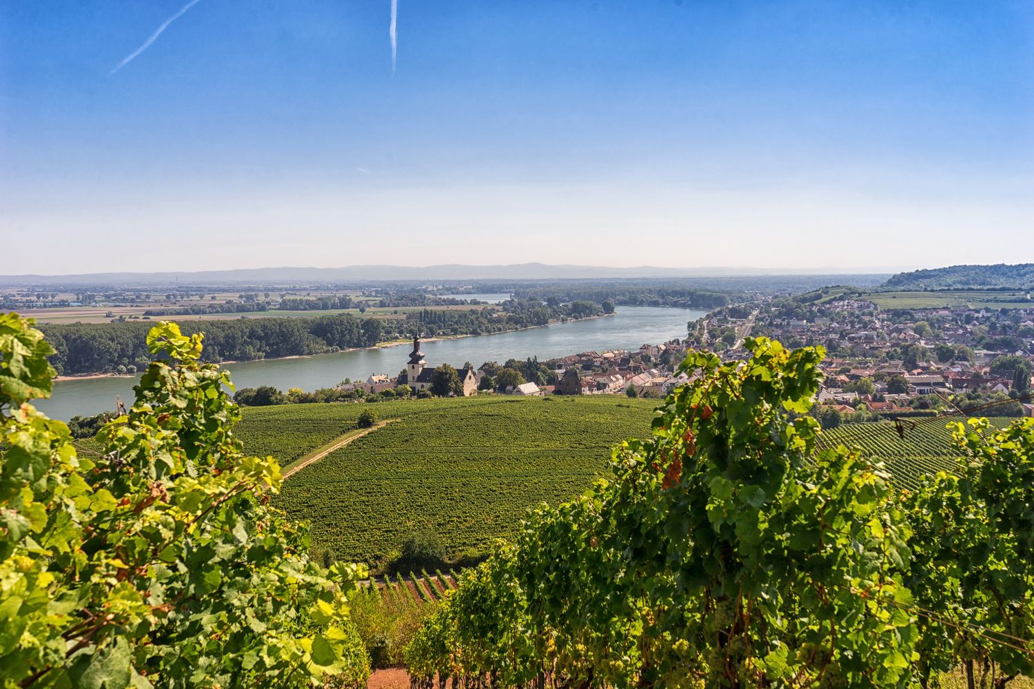
RheinTerrassenWeg – Hike through vineyards along Germany's River Rhine
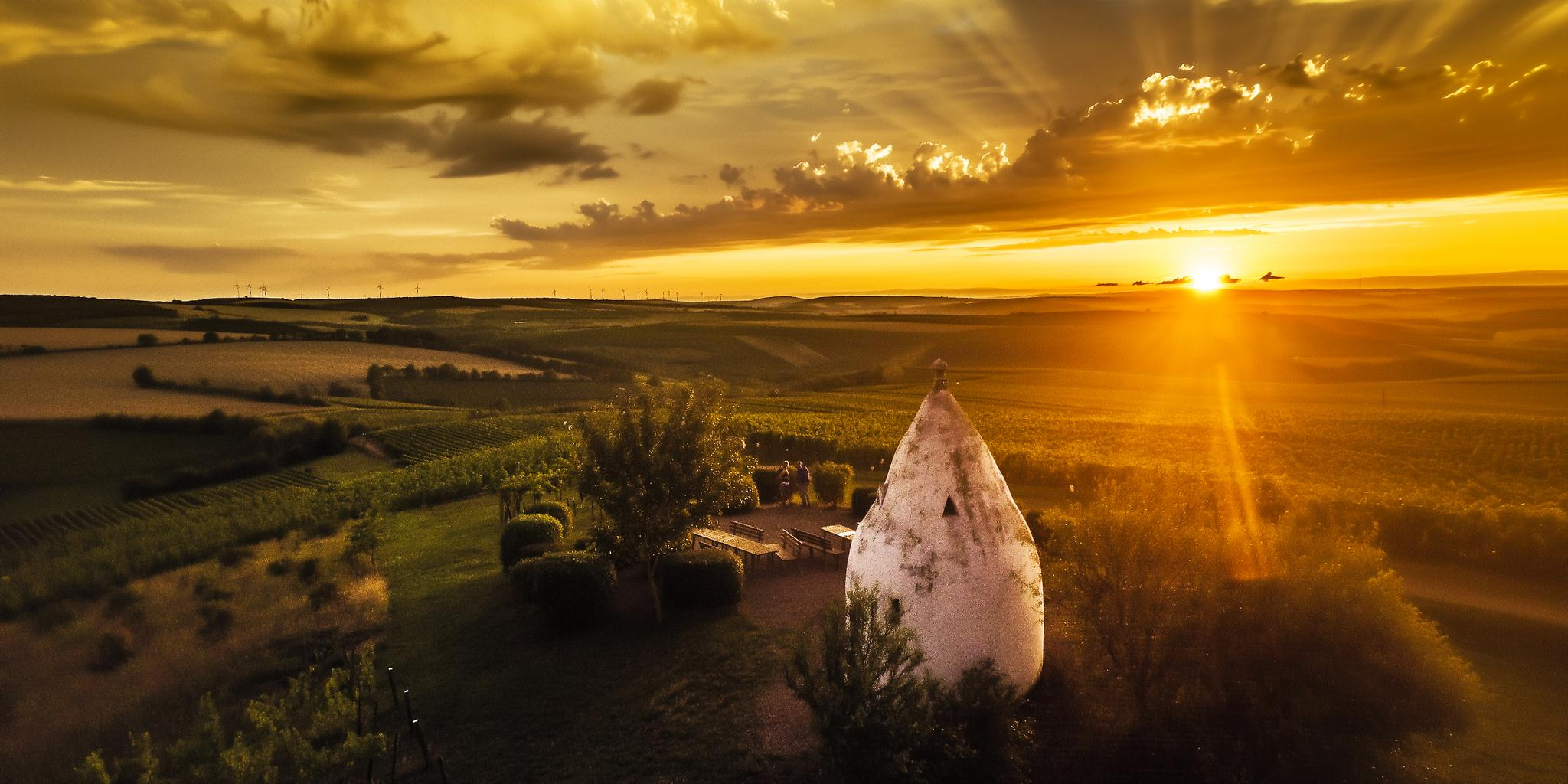
Hiking joy in Rheinhessen – experience magical moments
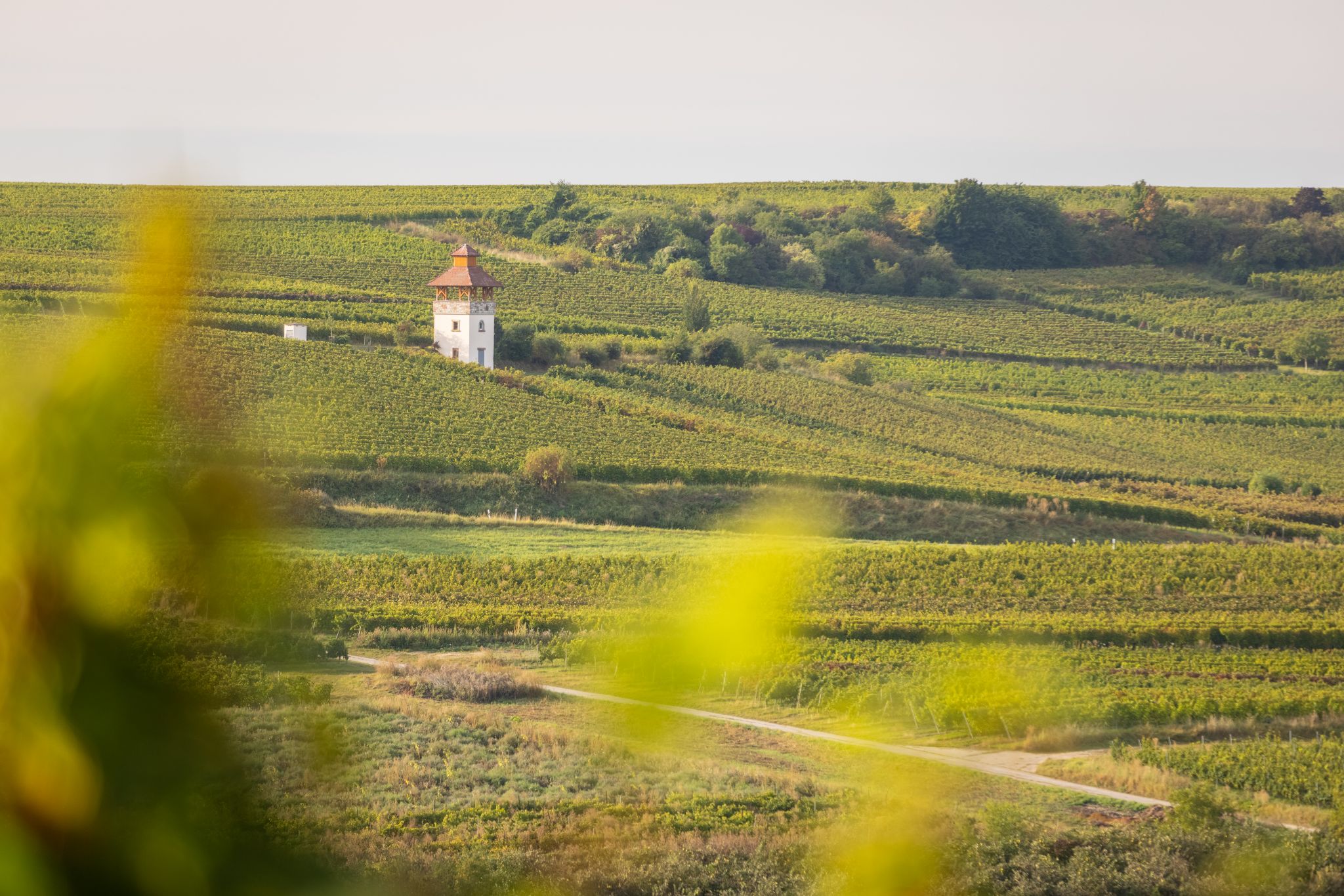
Vineyards and half-timbered houses – hiking magic in Rheinhessen

Winter adventures by public transport – hikes for the whole family
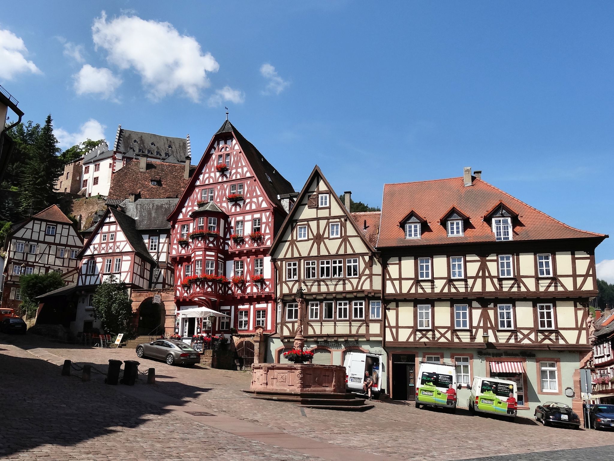
Give me four! - The Four-Country-Way

Out into spring – glorious hikes with the RMV
Other adventures in Rhenish Hesse


Tips from the Community

A great place for a break
0
0
Not quite the Lüneburger Heide but very beautiful
1
0

Remains of a palace complex The small historical tour is highly recommended.
0
0

The first name Johannes, which we encounter here, has been widespread since biblical times, so it should not surprise us to find a stately number of blessed and saints with this name over the two millennia of Christianity. At the threshold of the Old and New Testaments, we encounter John the Baptist (also Johannes Baptist), to whom most St. John's churches are dedicated. But one of the four men who wrote the Gospels of the New Testament also bears this name. This house of God in Großwinternheim is dedicated to him, JOHN THE EVANGELIST. A long ecclesiastical tradition has regarded the Evangelist as identical with the Apostle John mentioned in the Bible, but this is doubted in modern biblical scholarship. "The Gospel of John exerts a peculiar fascination. It is difficult to escape its solemn, sometimes mystical language. It addresses deep human needs and longings: hunger and thirst, the search for fulfilled eternal life, the longing for personal communion with God." (Franz-Josef Ortkemper)
0
0

Here you can let your soul dangle.
0
0

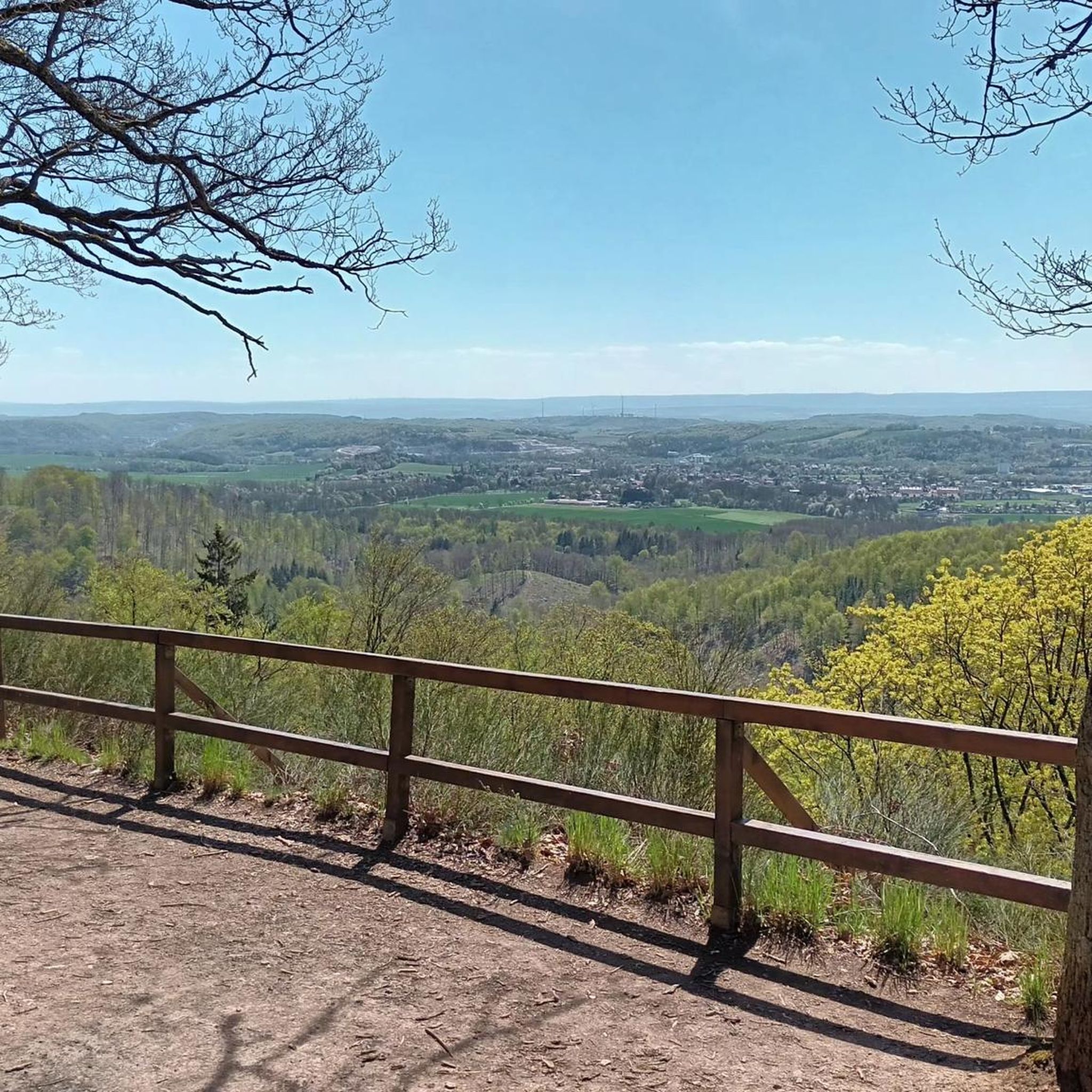
Almost along the entire Kaiserpfalzweg trail, you can enjoy fantastic panoramic views of the Rhine Valley.
0
0
Unfortunately, access was partially blocked at the time of our visit. However, these old walls are definitely worth seeing.
0
0

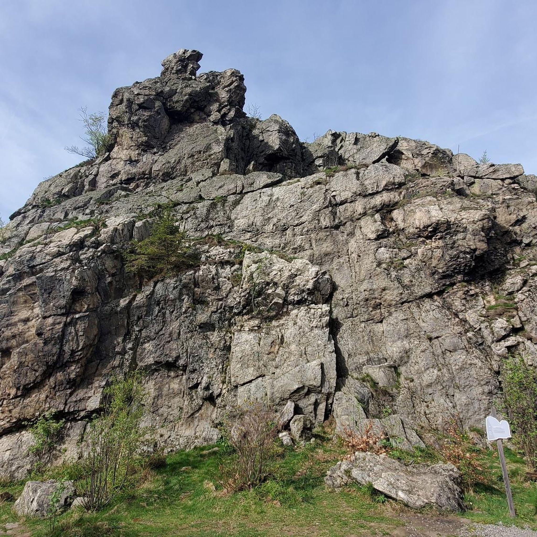
This is the scenic highlight of the Hiwwelroute and is rightly a NANTURA 2000 protected area. You wouldn't expect something like this in the hilly landscape of Rhenish Hesse.
0
0
Frequently Asked Questions
How many bus-accessible hiking trails are available in Rhenish Hesse?
Rhenish Hesse offers a vast network of hiking trails accessible by bus. You can find over 2600 routes that start conveniently from bus stations, making it easy to explore the region's diverse landscapes without a car.
What makes hiking in Rhenish Hesse unique, especially from bus stations?
Hiking in Rhenish Hesse, particularly from bus stations, offers a unique blend of experiences. You'll traverse gentle rolling hills, known locally as 'Hiwwel', through expansive vineyards, and often along the picturesque Rhine River. The region's mild climate and rich wine culture mean you can enjoy scenic walks with opportunities to discover local wines and charming villages.
What do other hikers say about the bus station trails in Rhenish Hesse?
The bus station trails in Rhenish Hesse are highly regarded by the komoot community, with an average rating of 4.55 stars from over 19,000 reviews. Hikers frequently praise the well-maintained paths, the stunning panoramic views over vineyards and the Rhine, and the convenience of public transport access.
Are there easy or beginner-friendly bus station hikes in Rhenish Hesse?
Yes, Rhenish Hesse is very welcoming for beginners and those seeking easier walks. Out of the many bus-accessible routes, over 1900 are classified as easy. A great option is the Selztal Runde, an easy 6.3 km loop with minimal elevation gain, perfect for a relaxed outing.
What kind of terrain can I expect on bus-accessible hikes in Rhenish Hesse?
The terrain on bus-accessible hikes in Rhenish Hesse is predominantly characterized by gentle rolling hills and extensive vineyards. You'll find well-trodden paths, often through open landscapes, with some sections along river valleys. While generally not mountainous, some routes offer moderate climbs to viewpoints, like the Kaiserpfalzweg which includes some varied elevation.
Are there family-friendly hiking routes accessible by bus in Rhenish Hesse?
Many bus-accessible trails in Rhenish Hesse are suitable for families, especially the easier routes that wind through vineyards and offer pleasant views. Look for trails with shorter distances and less elevation to ensure an enjoyable experience for all ages. The region's mild climate also makes it comfortable for family outings from spring to autumn.
Can I bring my dog on bus-accessible hikes in Rhenish Hesse?
Generally, Rhenish Hesse is dog-friendly, and many hiking trails are suitable for walks with your canine companion. However, always keep dogs on a leash, especially when passing through vineyards or nature reserves, and be mindful of local regulations regarding public transport. Ensure you carry enough water for your dog, particularly on sunny days in open vineyard areas.
What are some scenic bus-accessible routes with great views in Rhenish Hesse?
Rhenish Hesse is renowned for its panoramic views. The Panoramaweg is a great example, offering expansive vistas. Another excellent choice is the Most Beautiful Wine View Rheinhessen – View of Rheinhessen Vineyards loop from Siefersheim, which lives up to its name with stunning vineyard scenery and viewpoints like the Winzeralm.
Are there circular hiking routes that start and end at bus stations in Rhenish Hesse?
Yes, many of the bus-accessible trails in Rhenish Hesse are designed as circular routes, allowing you to start and finish your hike at the same bus station. This is ideal for exploring the region without needing to arrange return transport. The Hiwweltours, for instance, are premium circular trails, many of which can be accessed via public transport.
What kind of landmarks or points of interest can I find along bus station hiking trails?
Along bus station hiking trails in Rhenish Hesse, you can discover a variety of landmarks and points of interest. These include historical sites like the Infantry Position of the Mainz Bulwark (World War I), numerous viewpoints such as Zornheim Ruhkreuz or Zotzenheimer Horn Viewpoint, and even charming huts like Glockenberghütte. The region's wine culture also means you'll often encounter unique structures like the Trullo near Flonheim or various wine-related monuments.
When is the best time of year to go hiking from bus stations in Rhenish Hesse?
Rhenish Hesse benefits from a mild and dry climate, making it suitable for hiking from spring until late autumn. Spring offers blooming vineyards, while autumn provides vibrant colors and the grape harvest. Even in winter, with appropriate gear, some trails can be enjoyed, especially on clear, crisp days. The region is one of the sunniest in Central Europe, so comfortable hiking is possible for much of the year.
Are there any trails near the Rhine River that are accessible by bus?
Absolutely. The Rhine River forms a significant border of Rhenish Hesse, and many bus-accessible trails offer stunning views of the river. The Aviary – Maaraue Peninsula loop from Akademie der Wissenschaften und der Literatur | Mainz is an excellent option that takes you along the river, providing a different perspective of the landscape.
Most popular routes in Rhenish Hesse
Most popular attractions in Rhenish Hesse

Get inspired with the komoot mobile app


Didn’t find what you were looking for?
Check out more Hikes throughout Rhenish Hesse below and find the perfect route in your destination.
Explore more
Browse the best Hikes in other regions.
