The best city hikes and walks around Lake Ammer
4.5
(12727)
63,424
hikers
5
hikes
Urban hiking trails around Lake Ammer are set within the Bavarian Alpine foothills, characterized by dense forests, verdant meadows, and rolling hills. The region features the clear waters of Lake Ammer, Bavaria's third-largest lake, providing a natural contrast to the surrounding landscape. Hikers can explore varied terrain, including paths through forest landscapes and along the lake's shores. The area offers a network of routes suitable for different activity levels.
Best urban hiking trails around Lake Ammer
- The most popular urban…
Last updated: July 10, 2026
3
hikers
Easy hike. Great for any fitness level. Easily-accessible paths. Suitable for all skill levels.
3.0
(1)
2
hikers
Moderate hike. Good fitness required. Easily-accessible paths. Suitable for all skill levels.

Sign up for free
3.0
(1)
16
hikers
Easy hike. Great for any fitness level. Easily-accessible paths. Suitable for all skill levels.
3.5
(2)
26
hikers
Easy hike. Great for any fitness level. Easily-accessible paths. Suitable for all skill levels.
3
hikers
Easy hike. Great for any fitness level. Easily-accessible paths. Suitable for all skill levels.
Our route recommendations are based on thousands of hikes, rides, and runs completed by other people on komoot.
Start today with a free account
Your next adventure awaits.
Login or Signup
Popular around Lake Ammer
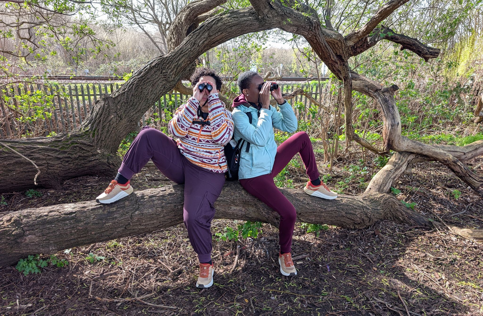
Europe’s Seasonal Birding Hotspots
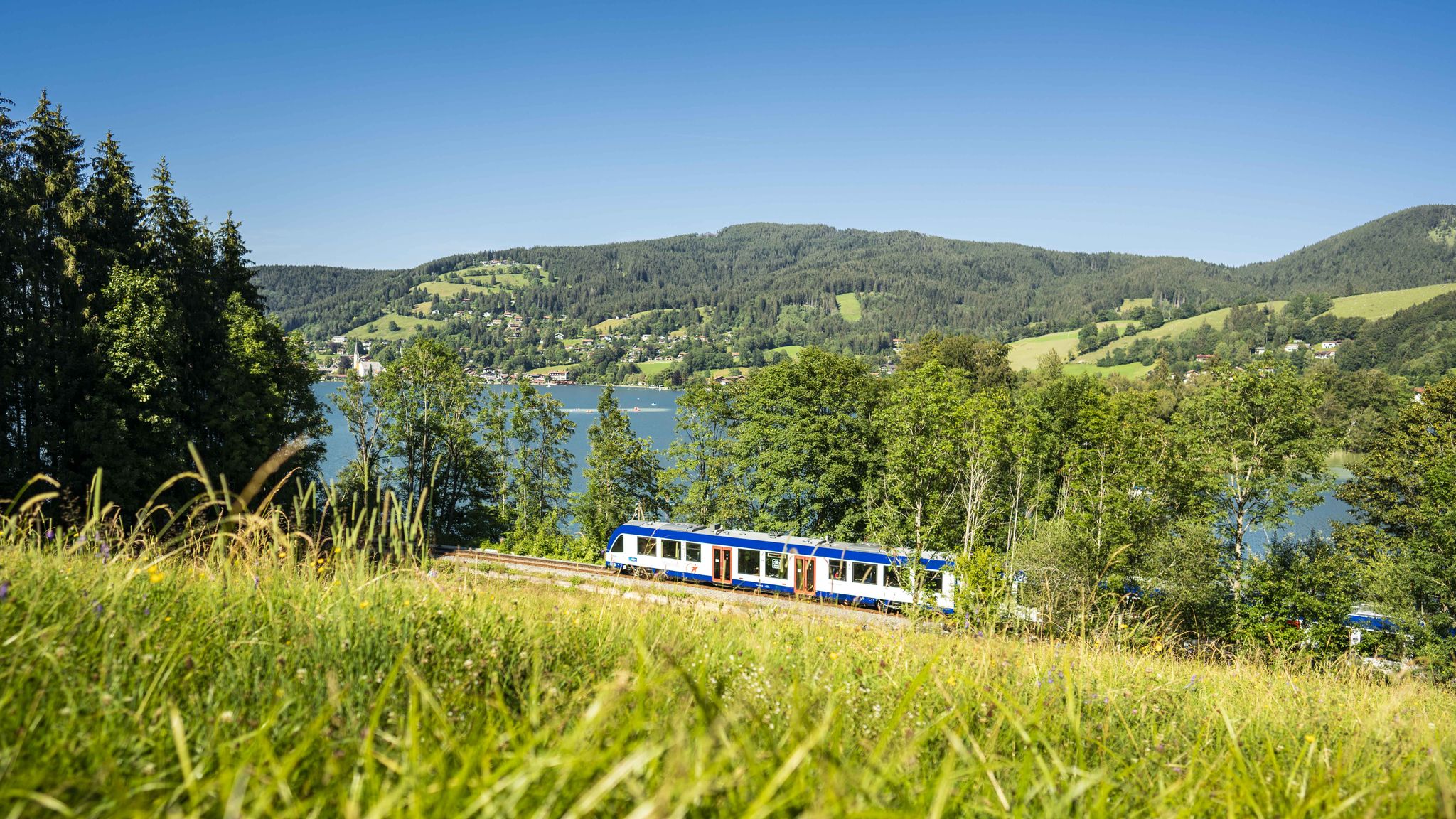
Mountain air by train – hiking in the BRB Network
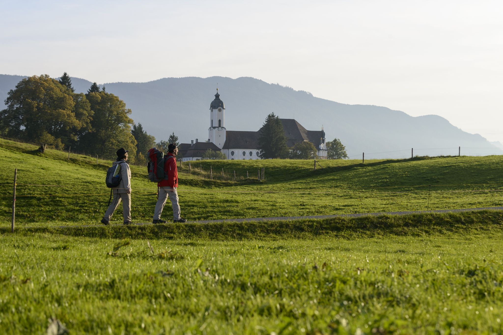
König-Ludwig-Weg: On the trails of Bavaria's fairytale König
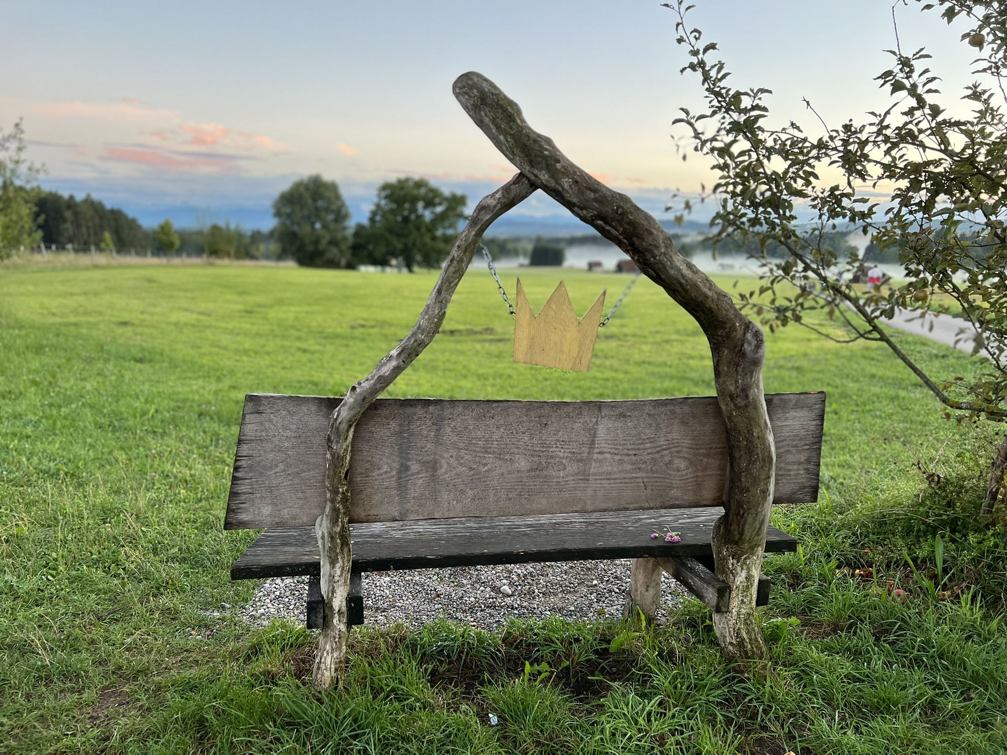
Hike the King Ludwig Trail – in the footsteps of a Bavarian king
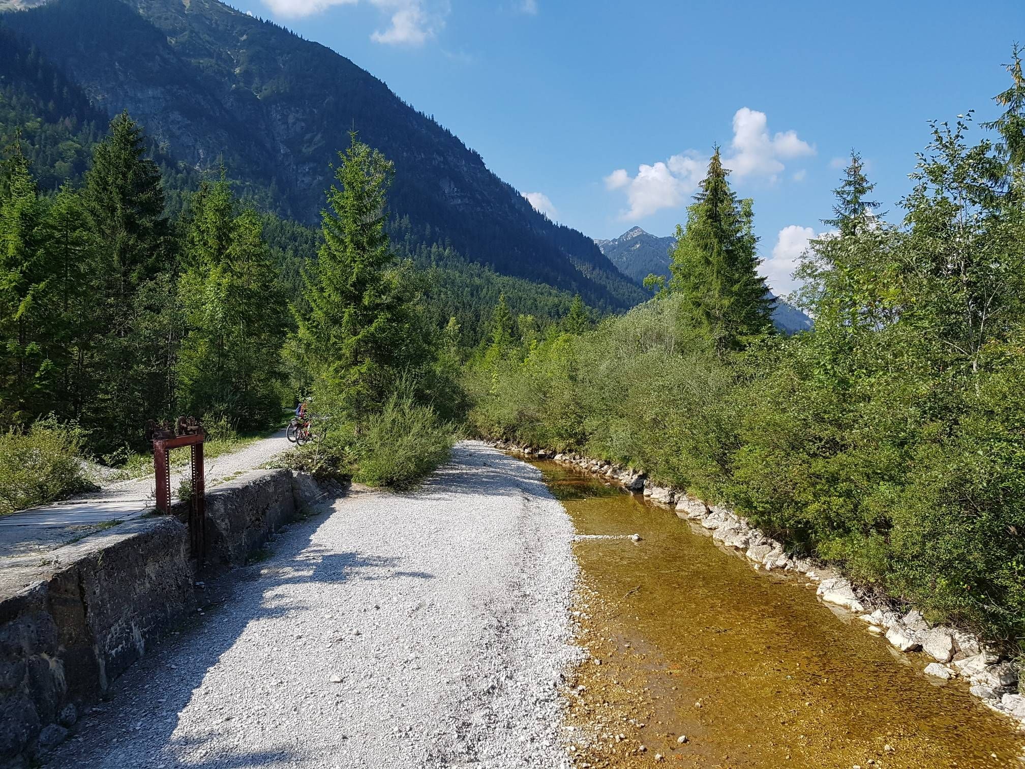
The Ammer-Amper Cycle Path – Experience nature in the foothills of the Alps
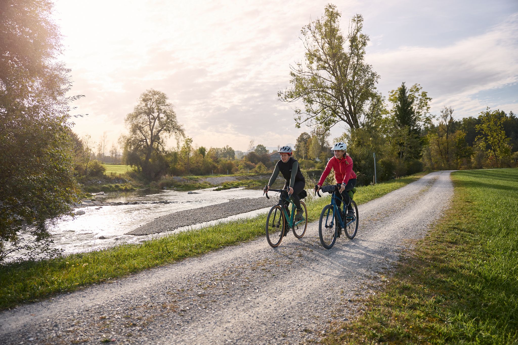
Along the water – Ammer-Amper cycle path
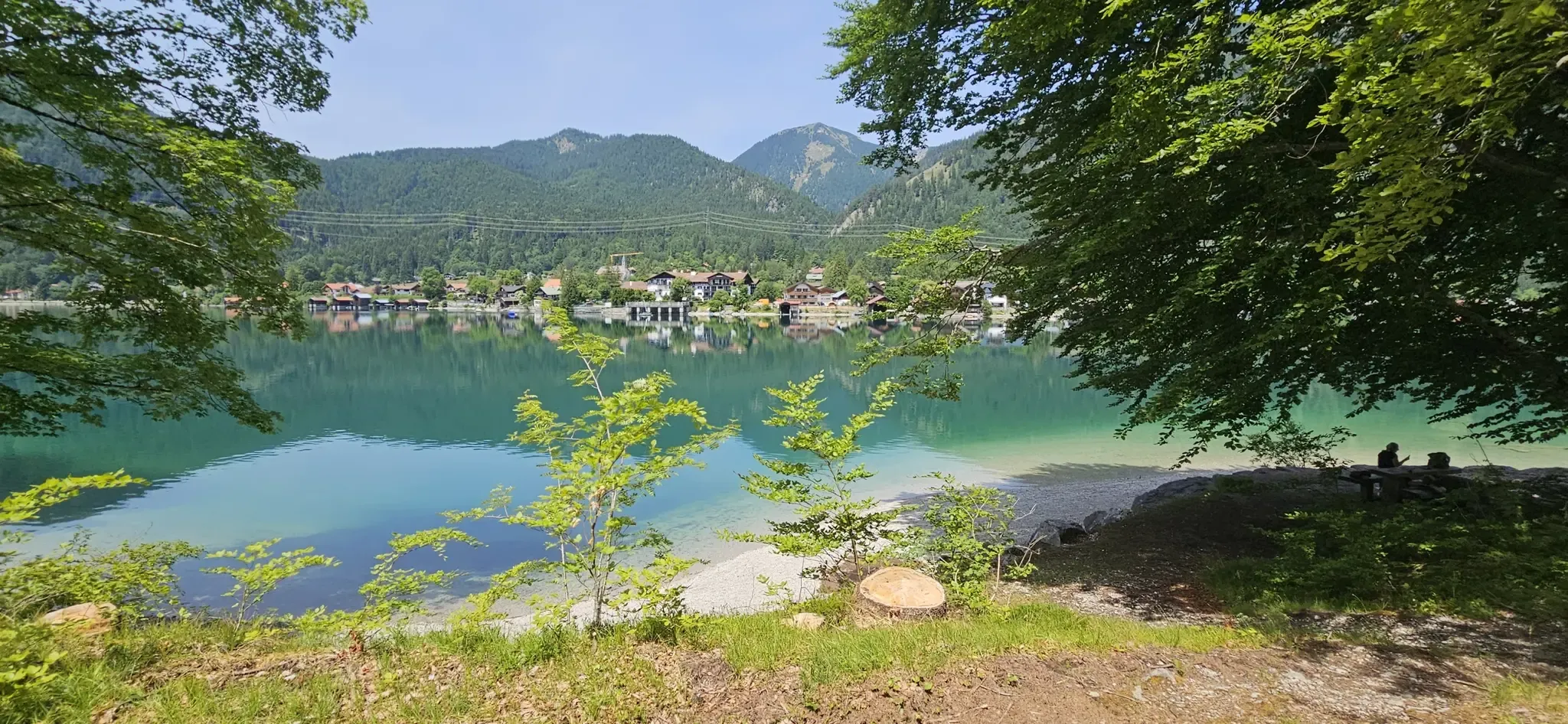
Beautiful swimming lakes in Bavaria
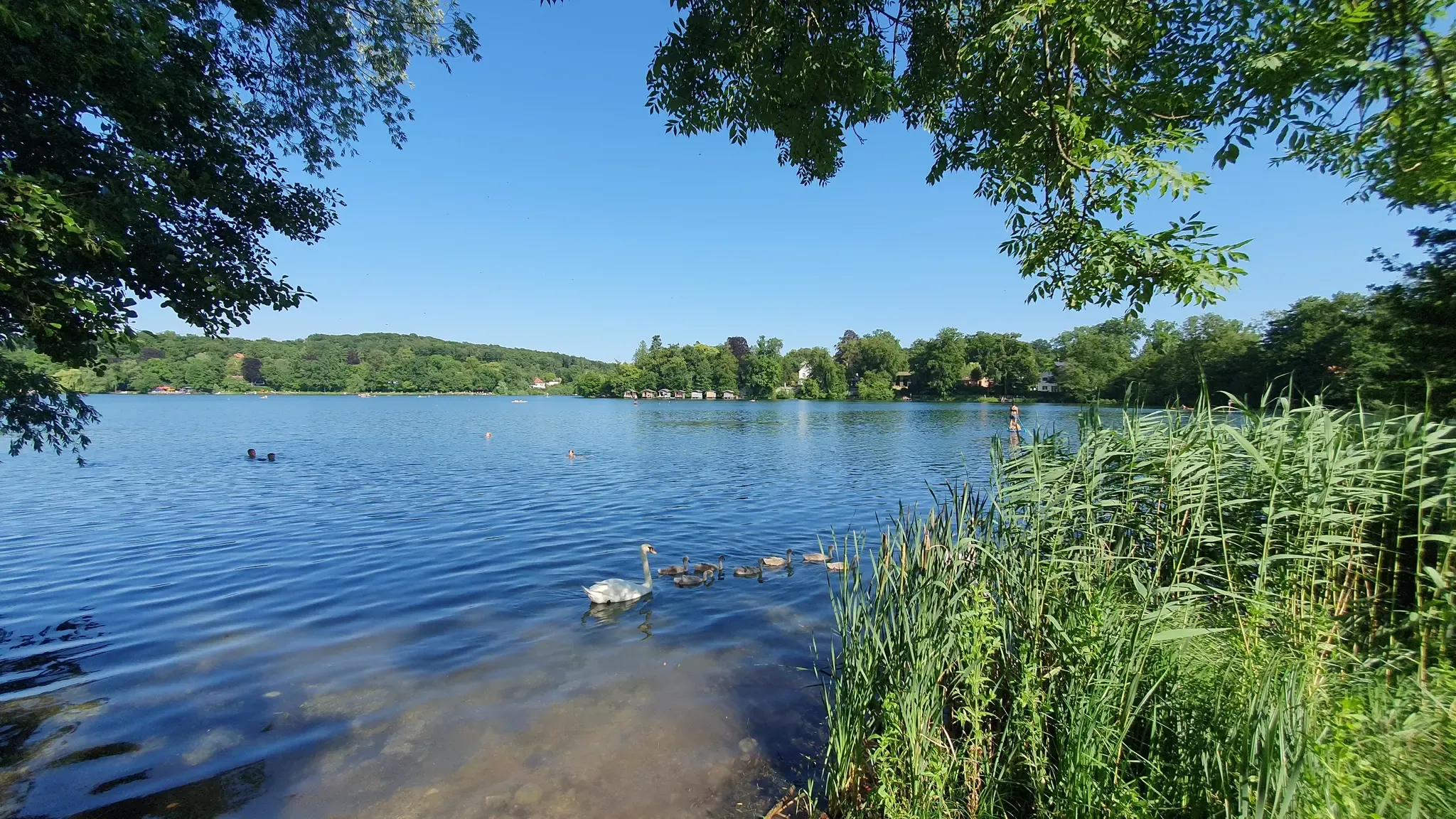
Marvellous swimming lakes around Munich
Zwischen Bergen und Seen – Mikroabenteuer im Bayerischen Süden
Other adventures around Lake Ammer


Tips from the Community

The great peculiarity of this statue of the Virgin Mary (Baroque, built in 1698) is its crescent-moon design! It sits enthroned on a several-meter-high column, set on a massive double base with a square cross-section. This religious work of art is framed by beautiful trees with spherical crowns, making it a pleasant place to linger in the shade. A brief prayer certainly wouldn't hurt! In Bavaria, statues of the Virgin Mary are often found in small grottos or at springs and were erected specifically with the intention of promoting healing.
0
1

With a little patience, you can watch fish from the shore! :)
0
0

The water level indicator is now beautifully painted. With the exception of the otter and the raccoon, I've already been able to observe all the animals (including the kingfisher) and excavators in and around the Ammer River in real life. Unfortunately, the first small graffiti smears have already appeared over the beautiful pictures (ACAB, etc.). The current water level reading can be found here: https://www.hnd.bayern.de/pegel/isar/weilheim-16613004?
0
0


The water level of the Ammer is always measured at this point. The little house was creatively designed by Artdesign-Bastian.com. Nice to look at, with lots of little details 🐟 🐦 🦡 🦀 🦫 ⛰️⛰️ The current water level of the Ammer in Weilheim is 36 cm, measured at 11:30 p.m. on April 10, 2025. The zero point of the gauge is 550.40 m above sea level. Alert levels and flood hazard area: Alert level 1: 230 cm, alert level 3: 370 cm, alert level 4: 420 cm, flood hazard area HW100: 490 cm. Flood Consequences At a water level of 230 cm, the underpasses of the cycle and pedestrian path along the Ammer River are flooded, and the barriers on Wessobrunner Straße are closed. At a water level of 450 cm, the river overflows into the Weilheimer Au. At a water level of 510 cm, the lower edge of the St2057 bridge is covered with water. At a water level of 520 cm, the bridge superstructure of the Wielenbach railway bridge is submerged.
0
0

Successful sandstone sculpture in which the river movements are frozen, but thereby also appear "alive".
1
0
Sculpture 08 by Max Mirlach. Fits very well into the calm water.
0
0

Here you can cycle along the Ammer, walk ....
0
0
Frequently Asked Questions
How many urban hiking trails are available around Lake Ammer?
There are 6 urban hiking trails detailed in this guide for the Lake Ammer region. These routes offer a great way to explore the towns and their immediate surroundings.
Are there easy urban hikes suitable for families or beginners?
Yes, the Lake Ammer region offers several easy urban hikes perfect for families or those seeking a relaxed stroll. For example, the Old Town Hall Museum Weilheim – Weilheim Old Town loop from Weilheim (Oberbayern) is an easy 4.8 km route, and the Weilheim Pedestrian Zone – Apostle Church Weilheim loop from Wielenbach is another accessible option at 5.8 km.
Can I find circular urban walks in the Lake Ammer area?
Absolutely. All the urban hikes featured in this guide are circular routes, allowing you to start and end at the same point. This includes trails like the Weilheimer Au Park – Marienplatz, Weilheim loop from Weilheim (Oberbayern), which is a pleasant 7 km loop.
What kind of scenery can I expect on urban hikes around Lake Ammer?
Urban hikes around Lake Ammer offer a blend of town exploration and natural beauty. You can expect to walk through charming old towns, along pedestrian zones, and often find yourself near the Ammer River or local parks, providing a refreshing mix of urban and green spaces. The region itself is known for its picturesque setting with dense forests, meadows, and rolling hills.
Are there any historical or cultural sights along the urban trails?
Many urban trails in the Lake Ammer region pass by historical and cultural points of interest. For instance, the Weilheim Pedestrian Zone – Apostle Church Weilheim loop takes you through Weilheim's town center, where you can explore its historic architecture. The region is also home to significant landmarks like the Burgberg Monument and various castles such as Mühlfeld Castle, which might be accessible from some urban routes or nearby.
Are the urban hiking trails around Lake Ammer dog-friendly?
Most urban hiking trails in the Lake Ammer region are dog-friendly, allowing you to enjoy a walk with your canine companion. It's always a good idea to keep dogs on a leash, especially in town centers or near wildlife, and to be mindful of local regulations. The mix of town and park paths provides varied terrain for you and your dog.
What do other hikers enjoy most about urban hiking in this region?
The urban hiking trails around Lake Ammer are highly rated by the komoot community, with an average score of 4.48 stars from over 12,000 ratings. Hikers often praise the accessibility of these routes, the charming townscapes, and the pleasant combination of cultural exploration with refreshing walks along rivers or through local parks.
Are there any moderate urban hikes for a slightly longer challenge?
Yes, if you're looking for a slightly longer and more challenging urban hike, consider the Weilheim Old Town – Ammer River near Weilheim loop from Weilheim (Oberbayern). This route is 9.4 km long and is rated as moderate, offering a good balance of urban exploration and a more extended walk along the Ammer River.
Can I access these urban hikes using public transport?
Many urban centers around Lake Ammer, such as Weilheim, are well-connected by public transport, making it convenient to access the starting points of these urban hikes. It's advisable to check local bus and train schedules for specific routes and connections to the towns where the trails begin.
What are some natural features to look out for on urban hikes near Lake Ammer?
Even on urban hikes, you'll often encounter natural elements that highlight the region's beauty. Many routes follow the Ammer River, offering pleasant riverside strolls. The broader Lake Ammer area is characterized by the stunning Bavarian Alpine foothills, with clear waters and views of the Alps, even if not directly on every urban path.
Are there any urban hikes that lead to notable viewpoints or landmarks?
While these are urban hikes, some routes offer glimpses of the region's broader landscape. For instance, the Töllernkirche loop from Wielenbach might provide views of local churches or elevated points. The region is also famous for the pilgrimage to Andechs Monastery, which offers breathtaking panoramic views of Lake Ammer and the Alps, and can be reached via family-friendly paths from nearby towns.
Most popular routes around Lake Ammer
Most popular attractions around Lake Ammer

Get inspired with the komoot mobile app


Explore more
Browse the best Hikes in other regions.
