The best hikes from bus stations around Lake Constance
4.5
(37097)
197,762
hikers
2,203
hikes
Bus station hiking trails around Lake Constance offer diverse landscapes, from the lake's shores to the foothills of the Alps. The region is characterized by its expansive body of water, which includes the Upper Lake and Lower Lake, and is bordered by Germany, Austria, and Switzerland. Terrain varies from cultivated areas with orchards and vineyards to significant nature reserves and volcanic landscapes. Hikers can find paths along gorges, through shaded forests, and to panoramic viewpoints overlooking the lake and surrounding…
Last updated: July 7, 2026
4.7
(834)
2,916
hikers
10.3km
02:39
50m
50m
Moderate hike. Good fitness required. Easily-accessible paths. Suitable for all skill levels.
4.7
(364)
1,244
hikers
8.29km
03:01
250m
250m
Moderate hike. Good fitness required. Easily-accessible paths. Suitable for all skill levels.

Sign up for free
4.8
(247)
906
hikers
6.14km
02:20
250m
250m
Moderate hike. Good fitness required. Easily-accessible paths. Suitable for all skill levels.
4.8
(140)
481
hikers
19.3km
05:43
560m
570m
Hard hike. Very good fitness required. Easily-accessible paths. Suitable for all skill levels.
4.2
(108)
418
hikers
11.8km
03:17
220m
220m
Moderate hike. Good fitness required. Easily-accessible paths. Suitable for all skill levels.
Get access to more routes and recommendations from other explorers.
Sign up for free
Already have an account?
Our route recommendations are based on thousands of hikes, rides, and runs completed by other people on komoot.
Start today with a free account
Your next adventure awaits.
Login or Signup
Popular around Lake Constance

Maximilian Trail in Germany — Lake Constance to Königssee
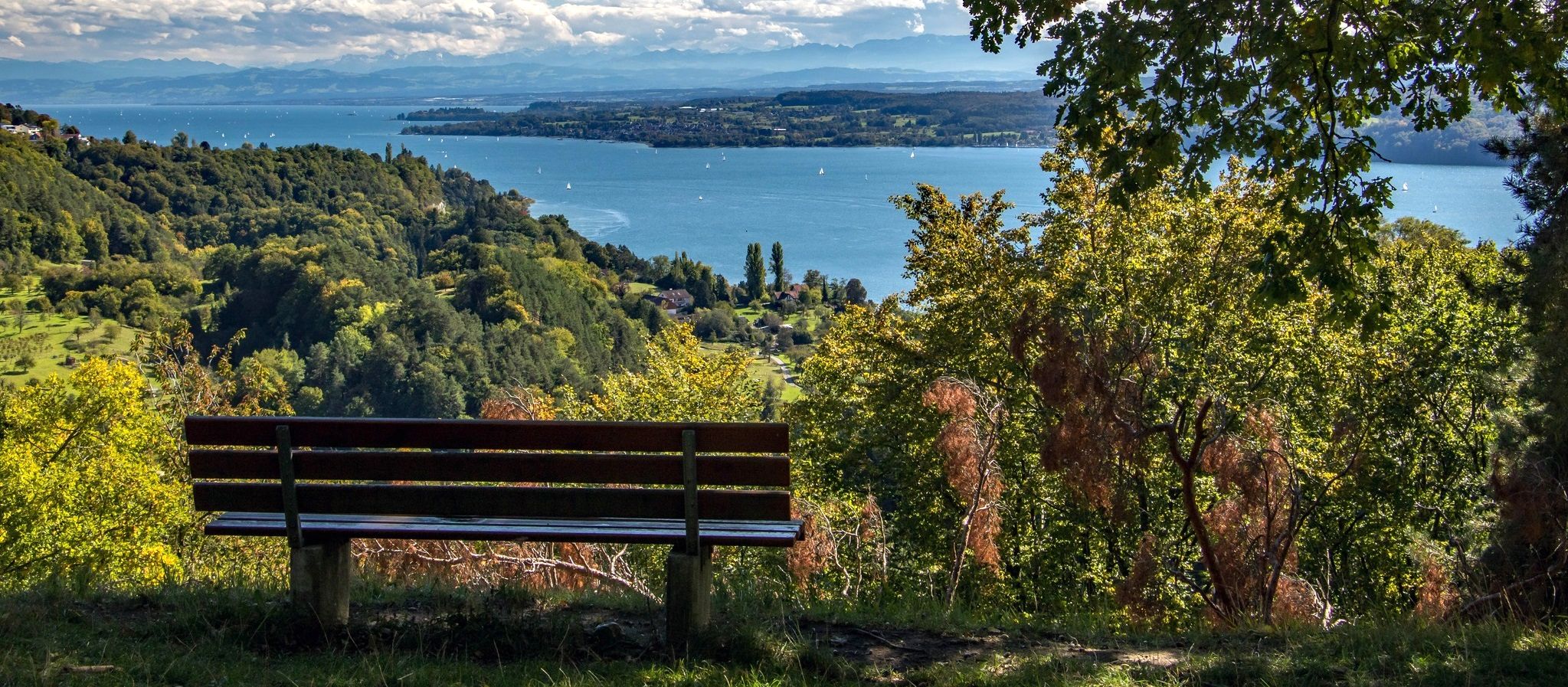
Heuberg-Allgäu Trail – From the Swabian Alb to Alpine foothills

Alpine Panorama Trail in Switzerland – Keep your eyes on the mountains

Min Weag long-distance hiking trail – From Lake Constance to the Alps

Via Jacobi – Following the Way of St James across Switzerland
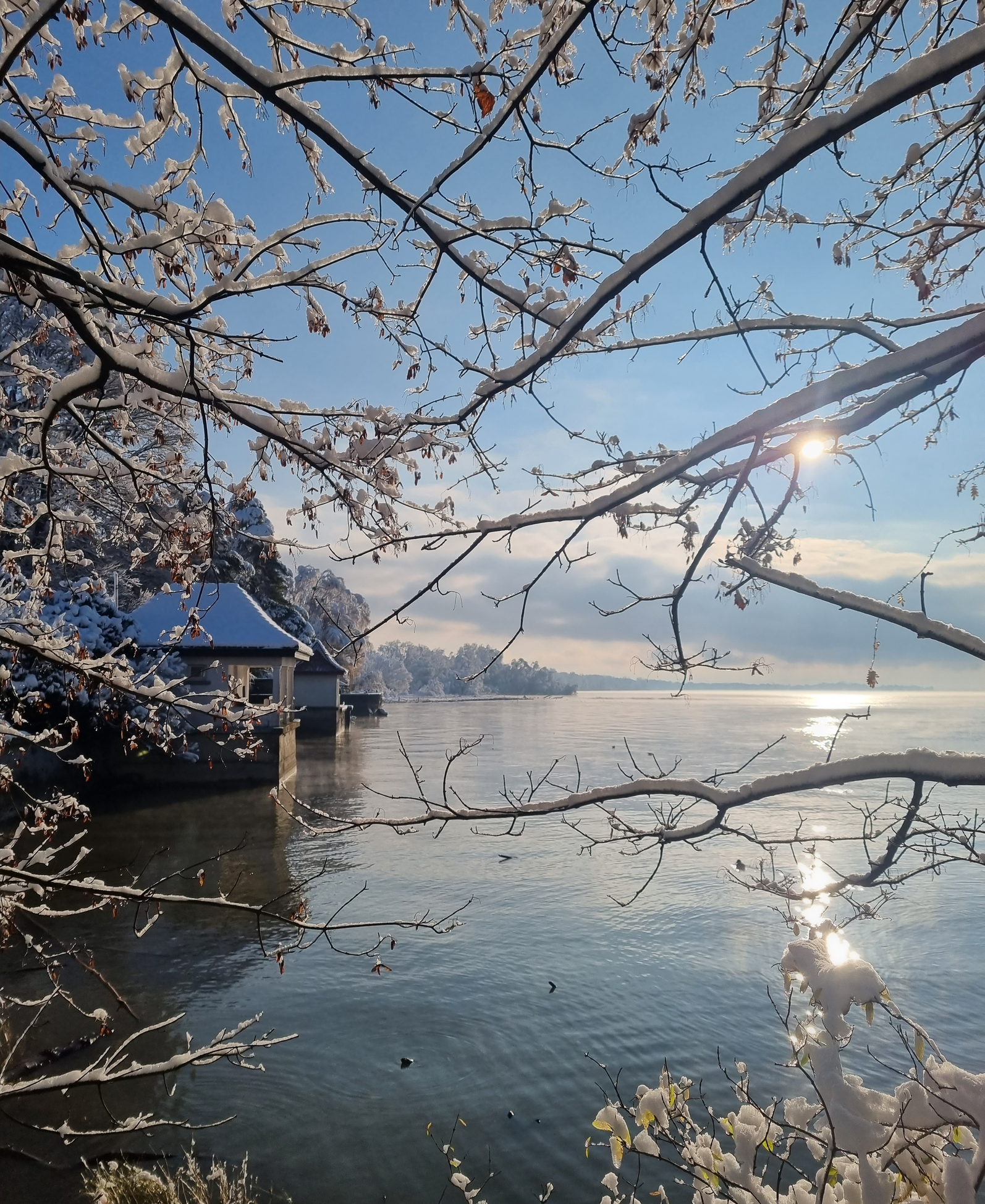
Between mist and sun – winter hiking on Lake Constance
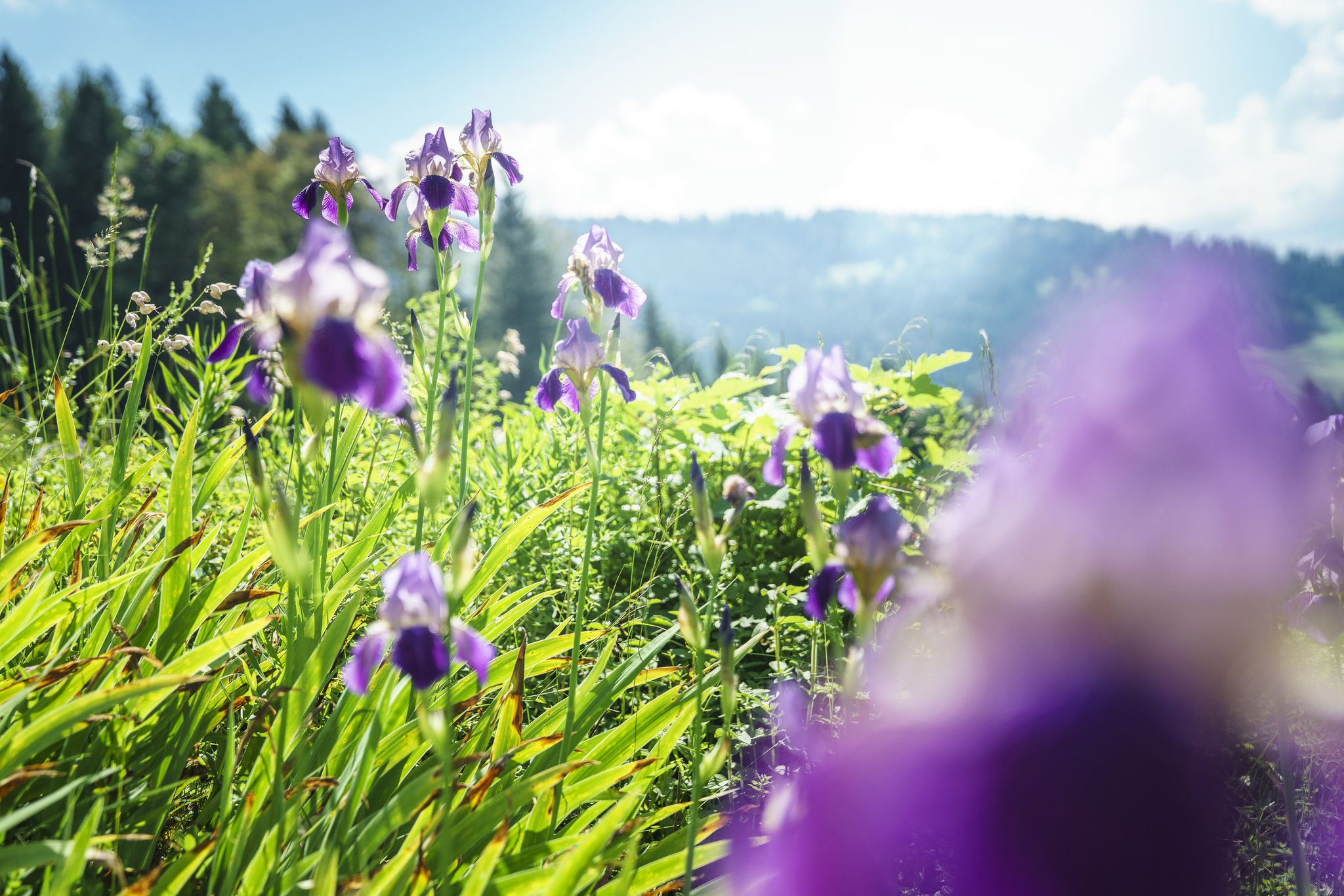
Between moors, meadows and glaciers – discover Vorarlberg's natural beauty
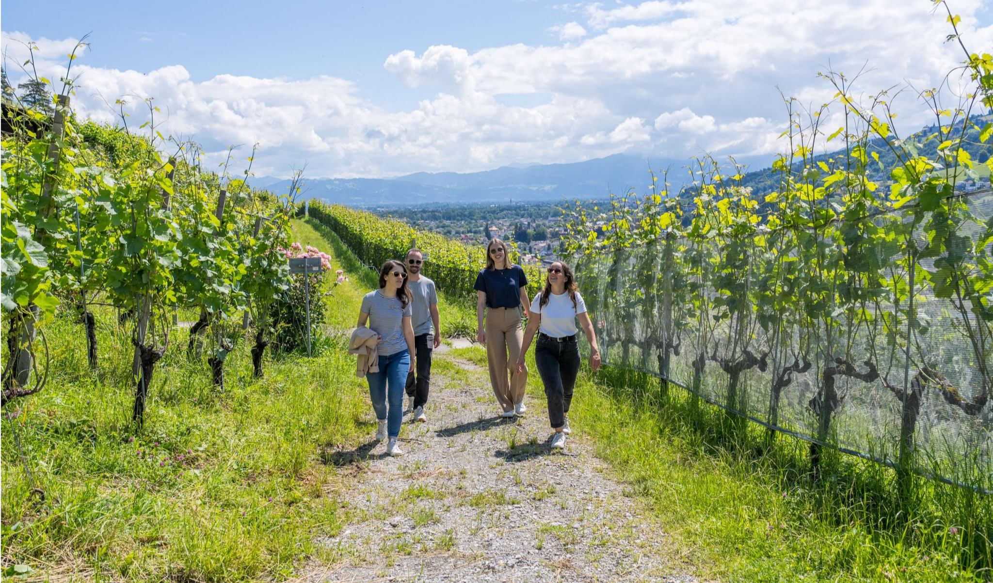
Discover cultural St. Gallen on foot
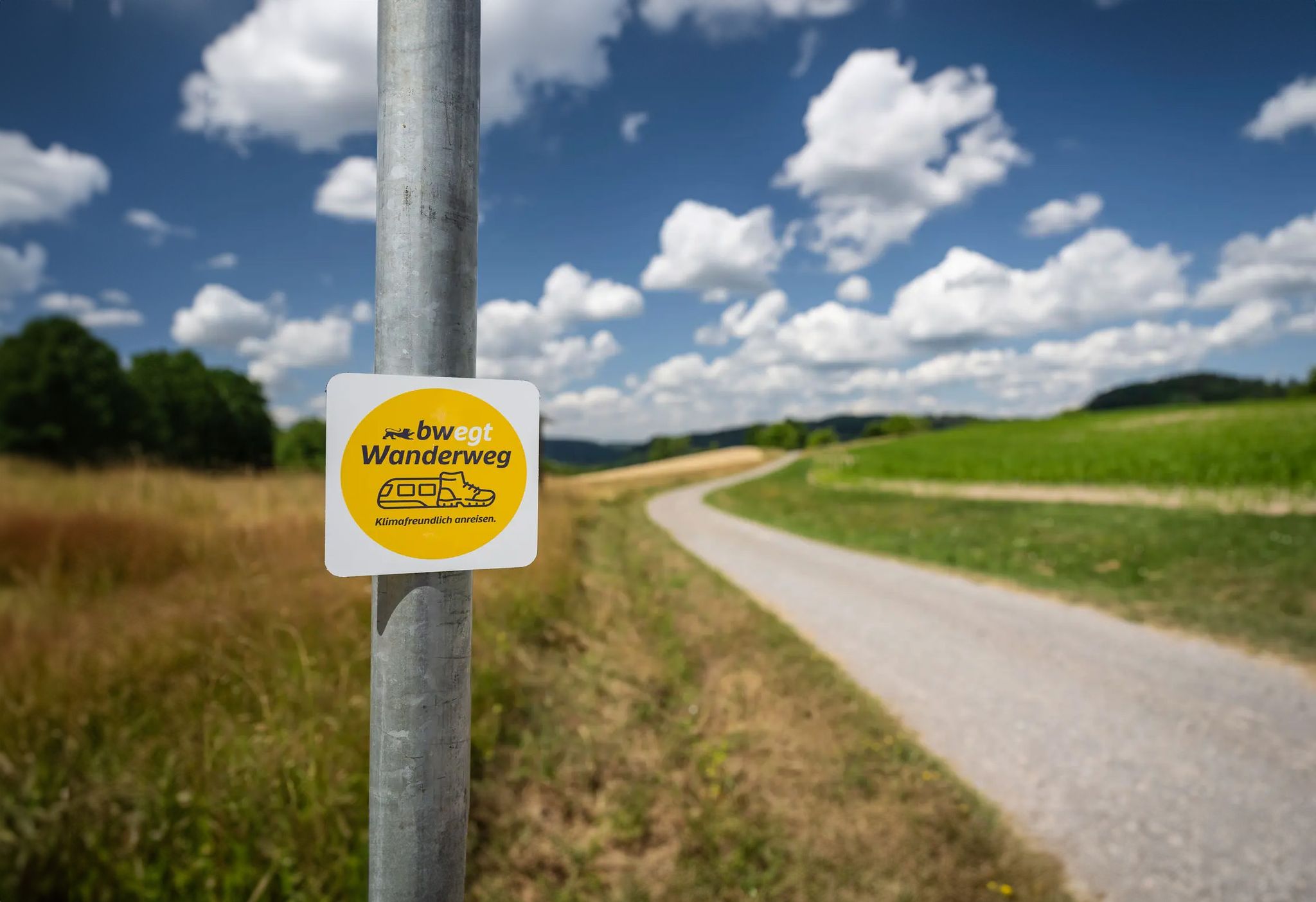
bwegt-Wanderweg – travel in a climate-friendly way, experience more
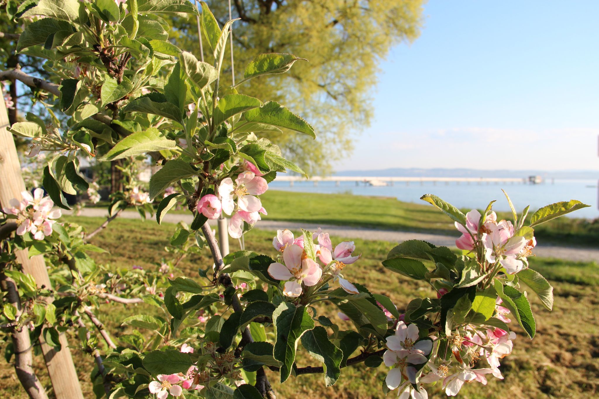
Culinary delights and magical flowers – hikes in Thurgau
Other adventures around Lake Constance


Tips from the Community

On the shore path, you can circle the entire island and reach many attractions. At the same time, you can better let nature affect you and get away from the tourist hustle (tourism is one of the island's main sources of income).
0
0

It is beautiful at any time. Continuing from the viewpoint, you come to a beautiful pond (Neuweiher) which is often drained in winter. You can also take a beautiful walk around it.
0
0


The path definitely runs through many private properties, so you should also pay attention to the prohibition signs that demarcate private areas. Sometimes the path is also quite narrow and bordered on both sides by trimmed hedges or opaque fences. Nevertheless, it has charm and repeatedly offers great views of the lake shore, the Untersee and as far as Hegau. Incidentally, it provides insights into private garden design ;-)
0
0

A wonderful place to relax with a beautiful view.
0
0

A beautiful mountain trail with views over the lake. Benches invite you to linger.
0
0
Beautiful pond, - benches invite you to linger.
0
0

Very nice path with many benches to linger on.
0
0
Frequently Asked Questions
How many bus-accessible hiking trails are there around Lake Constance?
There are over 2200 hiking routes around Lake Constance that are easily accessible by bus. This extensive network offers a wide variety of experiences, from leisurely strolls to more challenging treks, all designed for convenient public transport access.
What makes hiking from bus stations around Lake Constance unique?
Hiking from bus stations around Lake Constance offers unparalleled flexibility. You can explore diverse landscapes, from the shimmering lake shores to the rolling hills with orchards and vineyards, without needing a car. The region's excellent public transport network allows for point-to-point hikes and easy returns, letting you focus purely on the natural beauty and cultural sights.
What is the best time of year to hike from bus stations around Lake Constance?
Lake Constance offers great hiking opportunities throughout the year. Spring is beautiful with blooming fruit trees, while autumn provides ideal conditions for more challenging routes with pleasant temperatures and vibrant foliage. Even winter offers charming walks, often with good public transport accessibility to trailheads.
Are there easy hiking options accessible by bus for beginners or families?
Yes, many bus-accessible trails around Lake Constance are suitable for all fitness levels, including families and beginners. For example, the route Around the island of Reichenau is a moderate option with minimal elevation gain, perfect for a relaxed day out. The region's varied terrain ensures there's always a gentle path nearby.
How do other hikers rate the bus-accessible trails in Lake Constance?
The bus-accessible trails around Lake Constance are highly regarded by the komoot community, with an average rating of 4.56 out of 5 stars from over 34,500 reviews. Hikers frequently praise the well-maintained paths, the stunning lake and Alpine views, and the convenience of public transport access.
Are there any circular hiking routes that start and end at a bus station?
Absolutely. Many routes are designed as circular walks, making them ideal for bus access. An example is the Blütenweg – Von Ludwigshafen nach Sipplingen und zurück, which offers a scenic loop starting and ending in a convenient location for public transport.
Are bus-accessible trails around Lake Constance suitable for dogs?
Many trails around Lake Constance are dog-friendly, allowing you to enjoy the outdoors with your canine companion. However, it's always recommended to check local regulations for specific nature reserves or protected areas, and to keep dogs on a leash where required. Public transport usually allows dogs, often with a small fee or specific rules.
What kind of natural landscapes can I expect on bus-accessible hikes?
You can expect a rich variety of natural landscapes. Many trails follow the picturesque shores of Lake Constance, offering expansive water views. Others lead through charming orchards and vineyards, especially around areas like Tettnang and Altnau. You'll also find paths through shaded forests, and in some areas, unique volcanic landscapes or nature reserves like Wollmatinger Ried, all reachable by bus.
Are there historical or cultural attractions along bus-accessible hiking routes?
Yes, many bus-accessible routes weave through areas rich in history and culture. You can hike to sites like the UNESCO World Heritage Site of Reichenau Island, known for its ancient monastery, or explore charming old towns such as Lindau and Meersburg. The route Ruine und Kloster – Wanderung rund um Bodman am Bodensee, for instance, combines natural beauty with historical ruins and a monastery.
Are there bus-accessible hikes that pass by waterfalls or gorges?
Yes, the region offers trails that lead to impressive natural features like waterfalls and gorges. For example, you can find highlights such as the Gehautobel Gorge or the Wirtatobel Waterfall Trail. These natural wonders provide refreshing stops and stunning photo opportunities along your bus-accessible hike.
How can I find bus stops and public transport information for these trails?
Komoot routes often include detailed information on starting points, which are frequently located near bus stops. Additionally, local public transport websites and apps for the Lake Constance region (e.g., VHB, Bodo) are excellent resources for real-time schedules and connections to trailheads.
Are there places to eat or stay near the bus-accessible trailheads?
The Lake Constance region is well-equipped with amenities. Many bus-accessible trailheads are located in or near towns and villages where you can find cafes, restaurants, and various accommodation options. Highlights like the Pfänderspitze Inn or Georg's Fisherman's Hut are examples of places where you can refuel or relax after your hike.
What are some longer, more challenging bus-accessible hikes?
For those seeking a greater challenge, Lake Constance offers more demanding routes that are still accessible by bus. An example is the Panoramic hike to the Baitenhausen chapel, which is classified as difficult and involves significant elevation changes, rewarding hikers with expansive views.
Most popular routes around Lake Constance
Most popular attractions around Lake Constance

Get inspired with the komoot mobile app


Explore more
Browse the best Hikes in other regions.
