The best hikes from bus stations in Lower Franconia
4.6
(52857)
202,496
hikers
15,076
hikes
Bus station hiking trails in Lower Franconia (Unterfranken) traverse a diverse landscape, characterized by the expansive, open distances and volcanic peaks of the Rhön Mountains, the dense woodlands of the Spessart Nature Park, and the rolling hills and vineyards along the River Main. The region offers a variety of terrain, from gentle paths through unique moorlands to more challenging routes with significant elevation gain. These natural features provide a rich environment for outdoor activities, with well-developed trail networks accessible by…
Last updated: July 9, 2026
4.8
(1001)
4,103
hikers
Easy hike. Great for any fitness level. Easily-accessible paths. Suitable for all skill levels.
4.6
(415)
1,230
hikers
10.5km
02:51
150m
150m
Moderate hike. Good fitness required. Easily-accessible paths. Suitable for all skill levels.

Sign up for free
4.7
(87)
379
hikers
6.43km
01:49
140m
140m
Easy hike. Great for any fitness level. Easily-accessible paths. Suitable for all skill levels.
4.4
(147)
497
hikers
12.8km
03:34
240m
240m
Moderate hike. Good fitness required. Mostly accessible paths. Sure-footedness required.
4.6
(112)
367
hikers
14.3km
03:47
140m
140m
Moderate hike. Good fitness required. Easily-accessible paths. Suitable for all skill levels.
Get access to more routes and recommendations from other explorers.
Sign up for free
Already have an account?
Our route recommendations are based on thousands of hikes, rides, and runs completed by other people on komoot.
Start today with a free account
Your next adventure awaits.
Login or Signup
Popular around Lower Franconia

Hikes from bus stations in Naturpark Bayerische Rhön

Hikes from bus stations in Lsg "Bayerische Rhön"
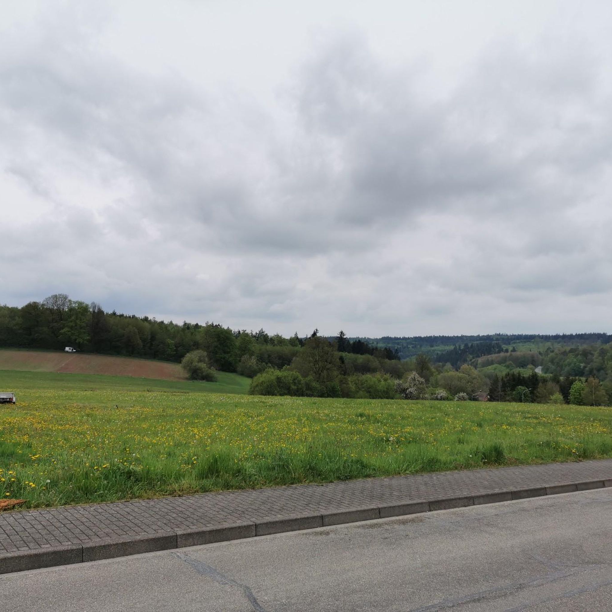
Hikes from bus stations in the Spessart

Hikes from bus stations in Landkreis Rhön-Grabfeld
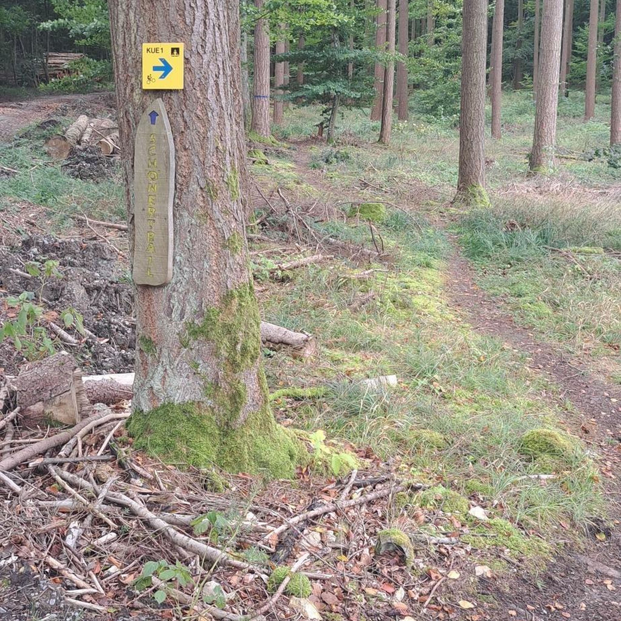
Hikes from bus stations around the Main
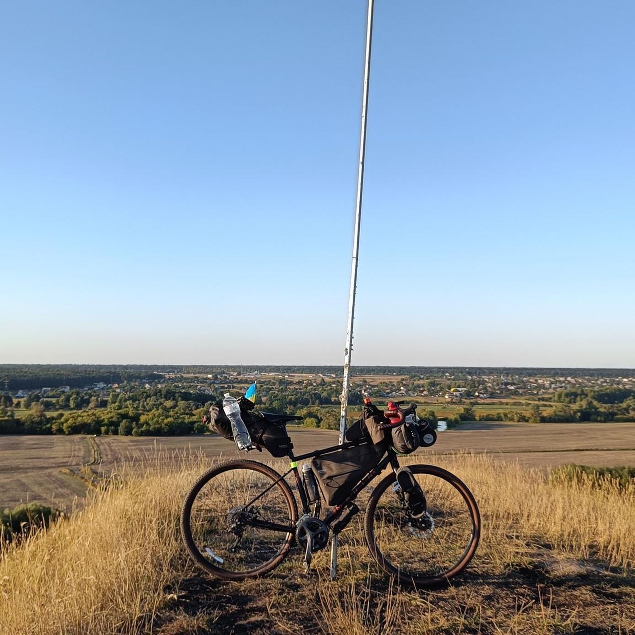
Hikes from bus stations in Landkreis Würzburg
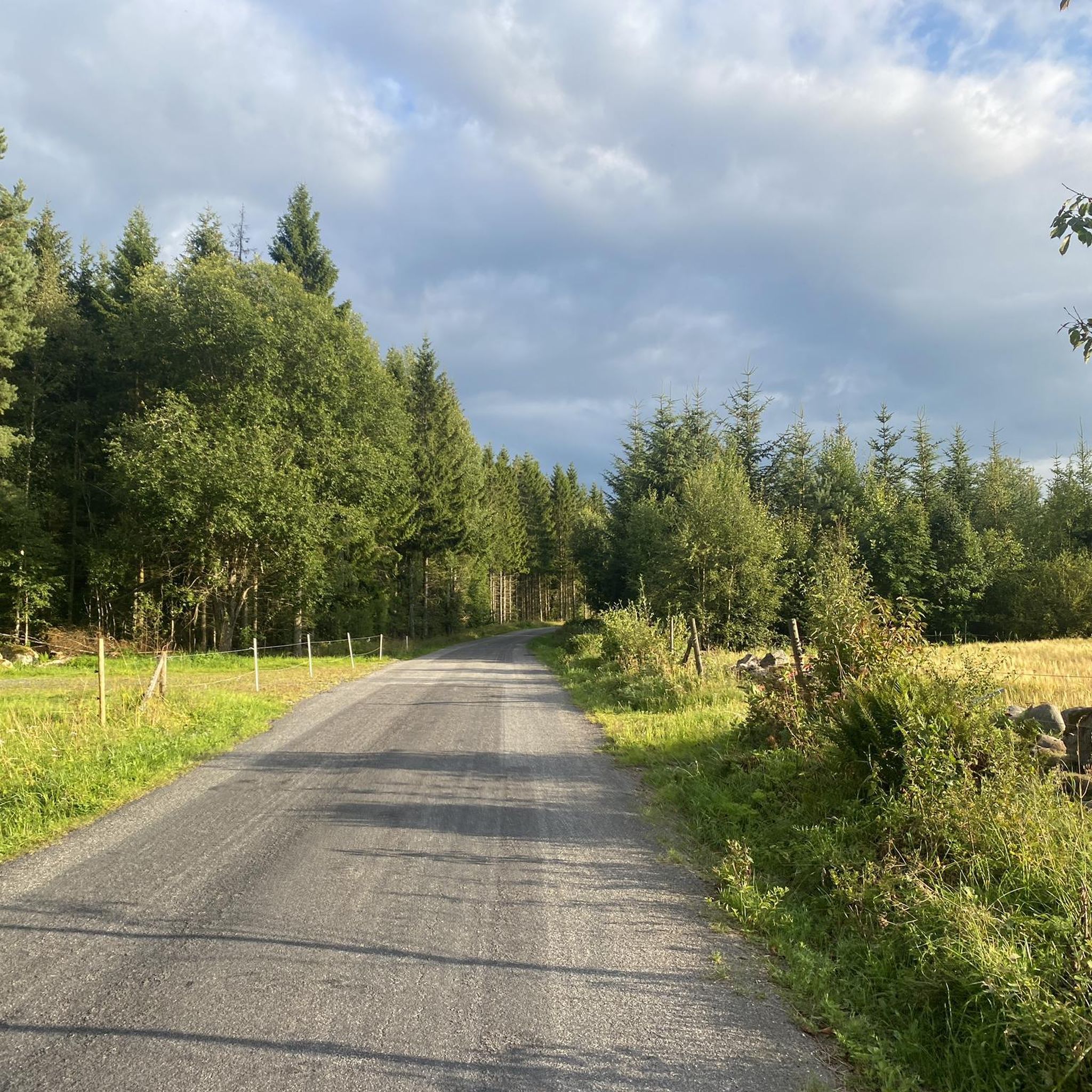
Hikes from bus stations around Kitzingen
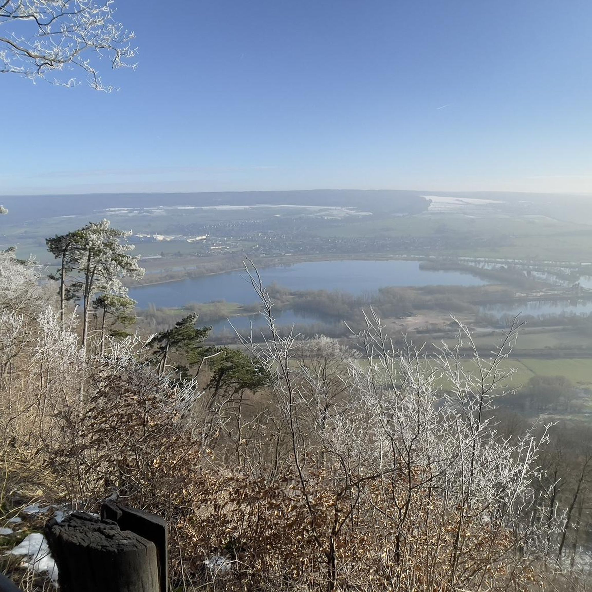
Hikes from bus stations in Naturpark Spessart
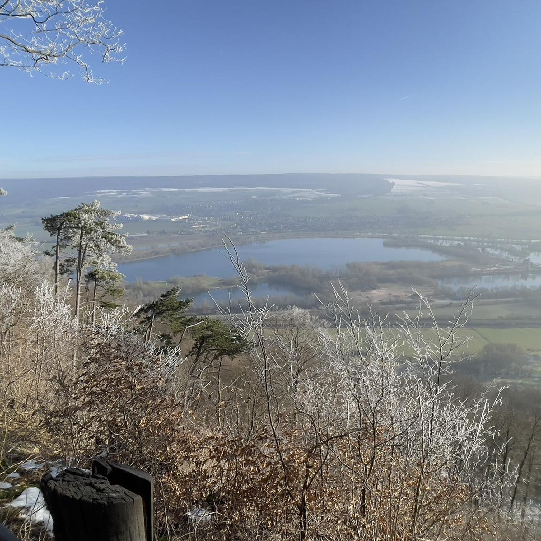
Hikes from bus stations in Landkreis Aschaffenburg

Hikes from bus stations in the Haßberge
Other adventures in Lower Franconia


Tips from the Community

Wonderful panoramic view of Dornheim and the Schwanberg
0
0


Very beautiful natural forest in the Wolfsee nature reserve
0
0

The moss-covered stones lie right next to the hiking trail. A truly beautiful sight!
7
0


If you are there at the right time of year, the cottongrass is impressively beautiful.
0
0
The Ulster Valley is beautiful and very typical for the Rhön. The very famous Rhön trout can be found here.
1
0
Frequently Asked Questions
How many bus station hiking trails are there in Lower Franconia?
Lower Franconia offers a vast network of bus-accessible hiking trails, with over 15,000 routes available. This includes a wide variety of options, from easy strolls to more challenging day hikes, ensuring there's something for every preference.
What is the terrain like on bus-accessible hikes in Lower Franconia?
The terrain in Lower Franconia is incredibly diverse. You can expect everything from the expansive, open distances and volcanic peaks of the Rhön Mountains to the dense woodlands of the Spessart Nature Park. Many routes also wind through the picturesque vineyards along the River Main, offering gentle slopes and scenic views. Trails can range from flat, easy paths to more challenging ascents and descents, depending on the specific region you choose.
What do other hikers say about the bus-accessible trails in Lower Franconia?
The bus-accessible trails in Lower Franconia are highly regarded by the komoot community, boasting an average rating of 4.58 out of 5 stars from over 42,000 reviews. Hikers frequently praise the region's diverse landscapes, well-maintained paths, and the convenience of public transport access to trailheads.
Are there family-friendly bus-accessible hikes in Lower Franconia?
Yes, Lower Franconia has many family-friendly options accessible by bus. For example, the Schwarzes Moor Nature Trail is an easy, educational walk through a unique landscape, perfect for all ages. Many other easy routes are available, often featuring gentle terrain and interesting natural sights.
Can I bring my dog on bus-accessible hikes in Lower Franconia?
Generally, dogs are welcome on most hiking trails in Lower Franconia. However, it's always advisable to keep them on a leash, especially in nature reserves, agricultural areas, or near wildlife. When using public transport to reach trailheads, check the specific bus company's regulations regarding pets.
Are there circular routes accessible by bus in Lower Franconia?
Absolutely! Many bus-accessible trails in Lower Franconia are designed as circular routes, allowing you to start and end your hike at the same bus stop. An excellent example is the Rhön Circular Trail 1 Schwarzes Moor, which offers a moderate loop through the scenic Rhön region.
Are there any wine-themed hikes accessible by bus in Lower Franconia?
Lower Franconia is renowned for its wine country, and you can certainly find bus-accessible routes that wind through vineyards. The Iphofen Wine Discovery Tour is a fantastic easy option that takes you through the picturesque wine region around Iphofen, offering opportunities to enjoy the local viticulture.
What kind of difficulty levels can I expect on bus-accessible trails?
The bus-accessible trails in Lower Franconia cater to all fitness levels. You'll find over 8,000 easy routes, perfect for leisurely walks, and more than 6,000 moderate trails for those seeking a bit more challenge. For experienced hikers, there are also over 500 difficult routes, such as the demanding Extra tour "Der Mottener": Motten – Rhön, offering significant elevation changes.
Are there interesting natural features or landmarks to see on these bus-accessible routes?
Yes, Lower Franconia is rich in natural beauty and landmarks. You can explore unique landscapes like the Schwarzes Moor Nature Trail and the Great Moor Eye (Black Moor). The region also features beautiful lakes such as the Basalt Lake at the Stone House and the Basalt Lake Tintenfass, providing serene spots along your hike.
Can I find viewpoints with panoramic views on bus-accessible trails?
Absolutely! Lower Franconia offers several trails that lead to stunning viewpoints. The Rhön Mountains, in particular, are known for their sweeping vistas. You might encounter observation towers like the Ludwig Tower (Hahnenkamm), which provide panoramic views over the surrounding landscapes and mountain ranges.
Where can I find refreshments or places to eat along bus-accessible trails?
Many bus-accessible trails in Lower Franconia pass through charming Franconian villages or near traditional inns. You can often find opportunities to enjoy local hospitality, traditional "Brotzeit" (a hearty snack), local beers, or Franconian wines. Look out for places like the Gemündener Hut or the Hahnenkamm Mountain Inn for a well-deserved break.
Most popular routes in Lower Franconia
Most popular attractions in Lower Franconia

Get inspired with the komoot mobile app


Didn’t find what you were looking for?
Check out more Hikes throughout Lower Franconia below and find the perfect route in your destination.
Explore more
Browse the best Hikes in other regions.
