The best traffic-free bike rides in Swartswood State Park
4.0
(2)
52
riders
7
rides
No traffic touring cycling routes in Swartswood State Park traverse a tranquil, rural landscape characterized by glacial lakes, dense forests, and hilly terrain within New Jersey's Ridge and Valley region. The park's network of trails offers varied surfaces, including paved sections suitable for touring cyclists. This area features natural glacial lakes, such as Swartswood Lake, and provides opportunities to cycle through pine and cedar forests. The elevation changes across the park's routes contribute to a diverse cycling experience.
Best no…
Last updated: July 9, 2026
10
riders
47.4km
04:05
290m
290m
Moderate bike ride. Good fitness required. Mostly paved surfaces. Suitable for all skill levels.
6
riders
Moderate bike ride. Good fitness required. Mostly paved surfaces. Suitable for all skill levels.

Sign up for free
11.2km
00:55
120m
120m
Easy bike ride. Great for any fitness level. Mostly paved surfaces. Suitable for all skill levels.
6
riders
74.8km
06:31
480m
480m
Hard bike ride. Very good fitness required. Mostly paved surfaces. Suitable for all skill levels.
5
riders
23.0km
01:45
200m
200m
Moderate bike ride. Good fitness required. Mostly paved surfaces. Suitable for all skill levels.
Get access to more routes and recommendations from other explorers.
Sign up for free
Already have an account?
Our route recommendations are based on thousands of hikes, rides, and runs completed by other people on komoot.
Start today with a free account
Your next adventure awaits.
Login or Signup
Popular around Swartswood State Park

Tips from the Community

Buttermilk Falls is the tallest waterfall in New Jersey. If you want to park your bike at the bottom of the falls, you can climb up to the top and to take in the vistas from the viewing platform.
1
0
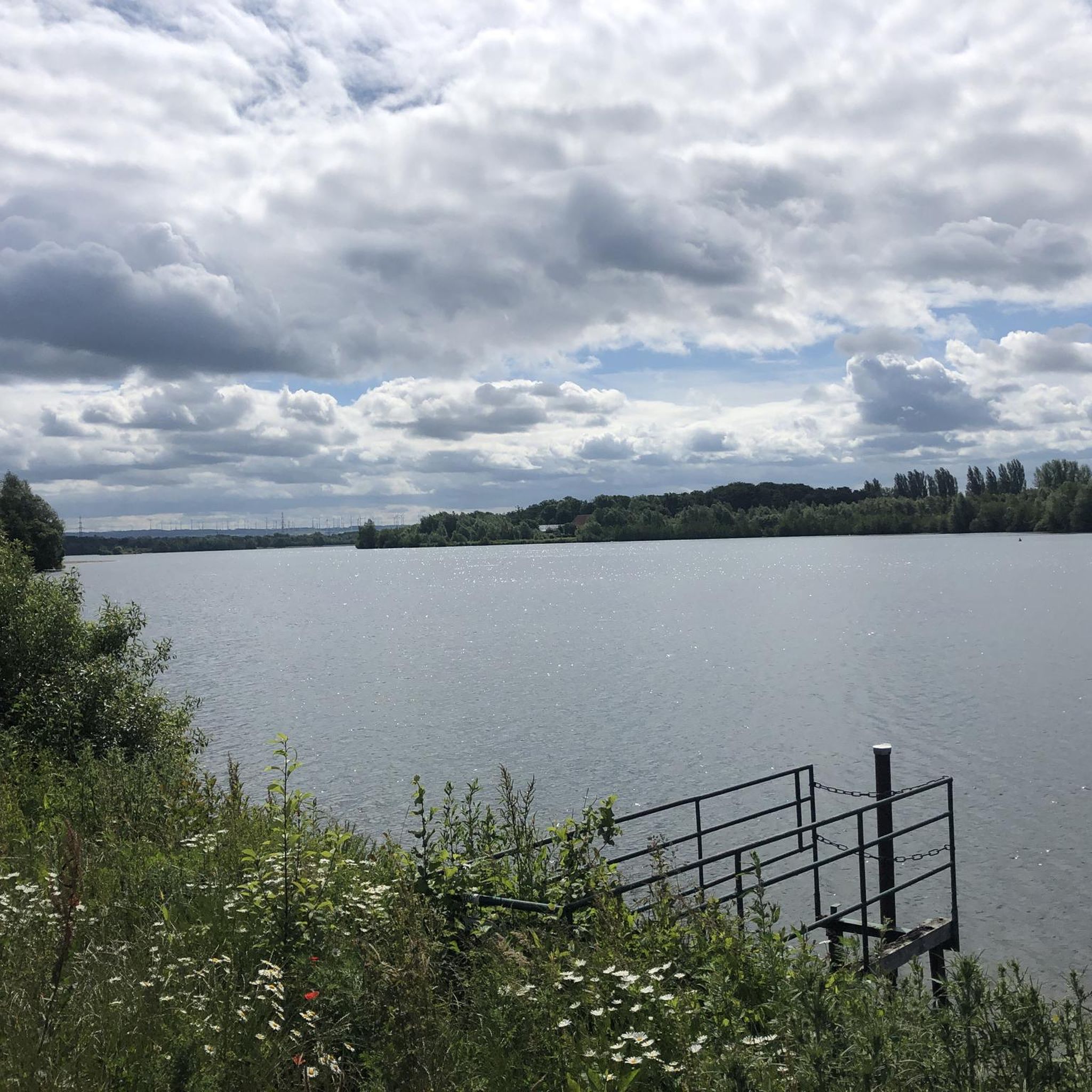
Paulinskill Lake was created after a dam was constructed across the river in Stillwater Township in the 1920s. From this point in the rail trail, there is a great view of the lake.
1
0
The Paulinskill Valley Trail is a 27-mile trail that follows along a river of the same name. The trail is mostly gravel and dirt. This section runs alongside Paulinskill Lake and there are several points where you get a great view of the water.
0
0
Warbasse Junction is the intersection of the Sussex Branch Trail and the Paulinskill Valley Trail. There are no facilities at this spot, but there are some information boards to give you some valuable information about the area.
1
0
Great, small wooden bridge over Paulins Kill River. The river is very narrow and not very deep at this point, so the bridge is a short walk to get across. The bridge has no hand ropes, so make sure you are physically able to cross the bridge before attempting.
1
0
Paulinskill River Wildlife Management Area is a 2,300 acre nature preserve along the Paulinskill River. The area is home to a variety of wildlife, including eagles, herons, turtles, and bobcats. The Sussex Branch Trail runs through the southern section of the WMA.
0
0

This trail climbs to the top of Buttermilk Falls, a long, tumbling cascade that happens to be one of the tallest waterfalls in the state of New Jersey. Keep in mind, no swimming or wading is permitted in the waterfall itself, or within 50 feet upstream.
1
0

The Paulinskill Valley Trail follows the Paulins Kill, a creek that meanders through forests and fields. On this section, you ride on a super nice single track in the woods.
1
0
Frequently Asked Questions
How many no-traffic touring cycling routes are available in Swartswood State Park?
Swartswood State Park offers a selection of 8 dedicated no-traffic touring cycling routes. These routes vary in difficulty, providing options for different skill levels.
What is the difficulty level of these car-free touring routes?
The no-traffic touring routes in Swartswood State Park range from easy to difficult. There are 3 easy routes, 4 moderate routes, and 1 difficult route, ensuring options for various experience levels.
Are there any easy, car-free routes suitable for beginners or families?
Yes, there are 3 easy, car-free routes perfect for beginners or families. One excellent option is the Buttermilk Falls loop from Wallpack Center, which is 11.2 km long and features gentle elevation changes.
Are there any circular no-traffic routes for touring cyclists?
Many of the no-traffic touring routes in Swartswood State Park are circular, allowing you to start and end at the same point. For example, the Paulinskill Valley Trail – Lake Paulinskill loop from Swartswood State Park offers a moderate 26.1 km loop experience.
What natural features or landmarks can I expect to see along these routes?
The routes often pass through diverse landscapes, including thick pine and cedar forests, and offer views of the glacial Swartswood and Little Swartswood Lakes. You might also encounter historical features like the Keen's and Stillwater Gristmills. The Paulinskill Valley Trail – View of the Paulins Kill River loop from Paulins Kill Dam provides scenic river vistas.
What is the best time of year to cycle these no-traffic routes?
The tranquil and rural setting of Swartswood State Park makes it ideal for touring cycling throughout the warmer months. Spring and fall offer pleasant temperatures and beautiful foliage, while summer provides lush greenery. Always check local weather conditions before heading out.
Can I bring my dog on these car-free cycling routes?
Swartswood State Park is generally dog-friendly, but specific trail regulations for dogs can vary. It's always best to check the park's official guidelines regarding pets on multi-use trails to ensure a smooth trip for you and your canine companion.
Where can I park when accessing these no-traffic cycling routes?
Swartswood State Park offers various parking facilities for visitors. For routes like the Sussex Branch Trail – Sussex Branch Trail loop from Paulins Kill Dam, parking is typically available near trailheads or designated park areas. Check the specific route details on komoot for recommended starting points and parking information.
Are there opportunities for wildlife viewing on the no-traffic trails?
Yes, the tranquil environment of Swartswood State Park provides excellent opportunities for wildlife viewing. Cyclists often spot resident bald eagles, various other birds of prey, waterfowl, and deer, especially during quieter times of the day.
What do other touring cyclists enjoy the most about touring cycling in Swartswood State Park?
The area is highly rated by the komoot community, with an average score of 4.3 stars. Reviewers often praise the quiet, car-free nature of the trails, the scenic beauty of the lakes and forests, and the peaceful atmosphere that makes for a relaxing touring experience.
Are there public transport options to reach Swartswood State Park for cycling?
Public transport options directly to Swartswood State Park are limited. Most visitors typically access the park by car. It's advisable to plan your journey with personal transport or consider local taxi services from nearby towns like Newton or Stillwater.
Are there cafes or places to eat near the no-traffic routes?
While the routes themselves are designed for a natural, undisturbed experience, nearby towns such as Newton and Stillwater offer cafes, pubs, and restaurants where you can refuel before or after your ride. It's a good idea to pack snacks and water for your journey on the trails.
Most popular routes in Swartswood State Park

Get inspired with the komoot mobile app


Explore more
Browse the best Cycling routes in other regions.
