The best traffic-free bike rides in Hurd State Park
102
riders
5
rides
Road cycling in Hurd State Park and its surrounding Lower Connecticut River Valley offers a diverse landscape for cyclists. The region is characterized by a forested landscape of rolling hills that descend to the Connecticut River, along with scenic river views and coastal marshes. Cyclists can expect a mix of paved and unpaved surfaces, often traversing distinctive red Triassic soils. This area provides varied terrain for no traffic road cycling routes.
Best no traffic road cycling routes in Hurd State Park
- The most popular no traffic road cycling route is Big Hill loop from Middlesex, a 16.4 miles (26.4 km) trail that takes 1 hour 24 minutes to complete, featuring moderate climbs through rolling terrain.
- Another top favourite among local road cyclists is Cedar Lake – Goose Hill loop from Middlesex County, a moderate 21.3 miles (34.3 km) path. This route offers views of Cedar Lake and the surrounding Connecticut River Valley.
- Local road cyclists also love the Snell-Talbot Preserve – Nice quiet road loop from Brainard Homestead State Park, a 19.0 miles (30.6 km) trail leading through quiet roads and forested areas, often completed in about 1 hour 29 minutes.
- Road cycling in Hurd State Park is defined by rolling hills, the Connecticut River Valley, and forested landscapes. The network offers options for different ability levels, from moderate routes to longer paths.
- The routes in Hurd State Park are highly rated by the komoot community. More than 85 road cyclists have used komoot to explore Hurd State Park's varied terrain.
Last updated: July 9, 2026
3
riders
34.3km
01:49
380m
380m
Moderate road ride. Good fitness required. Mostly well-paved surfaces and easy to ride.
2
riders
50.0km
02:28
510m
510m
Moderate road ride. Good fitness required. Mostly well-paved surfaces and easy to ride.

Sign up for free
4
riders
Moderate road ride. Good fitness required. Some segments of this route may be unpaved and difficult to ride.
3
riders
23.1km
01:13
310m
310m
Moderate road ride. Good fitness required. Some segments of this route may be unpaved and difficult to ride.
4
riders
48.9km
02:33
690m
690m
Moderate road ride. Good fitness required. Mostly well-paved surfaces and easy to ride.
Our route recommendations are based on thousands of hikes, rides, and runs completed by other people on komoot.
Start today with a free account
Your next adventure awaits.
Login or Signup
Popular around Hurd State Park
Tips from the Community

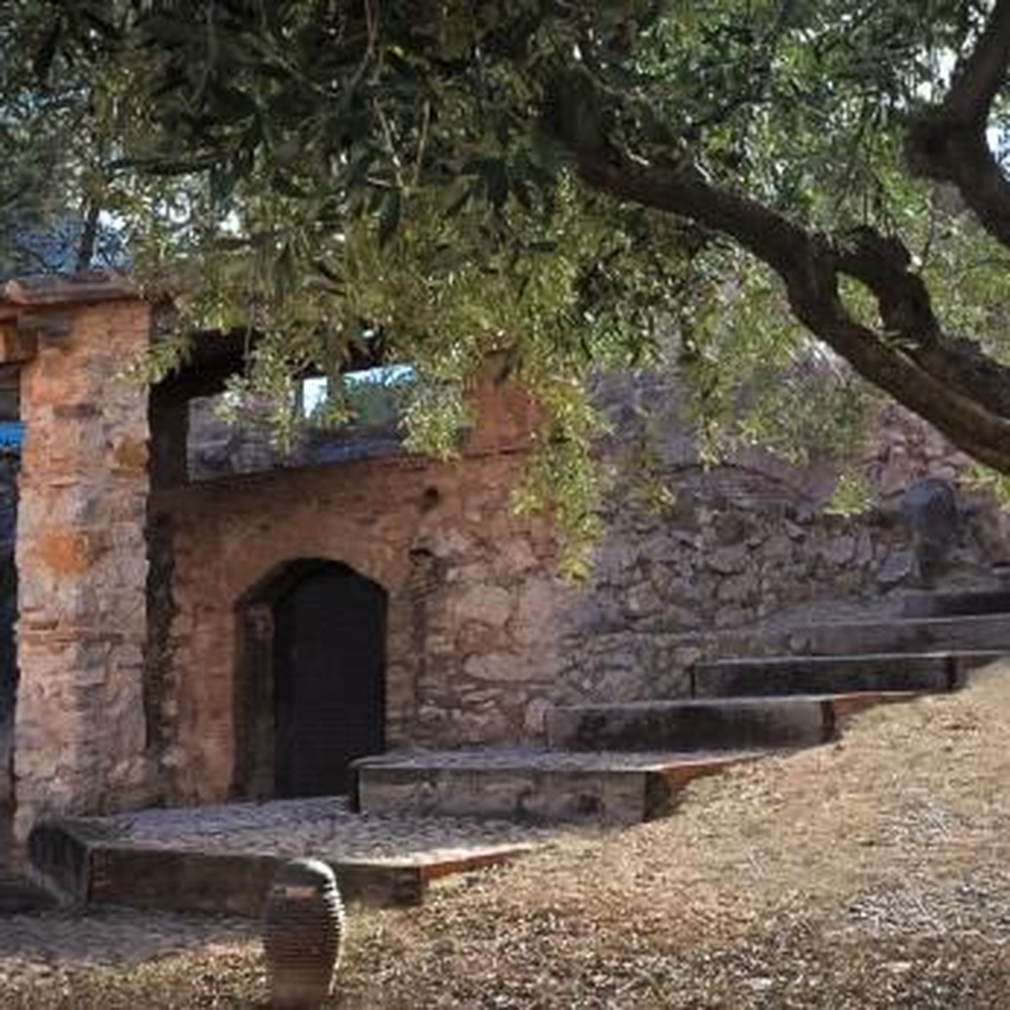
Snell-Talbot Preserve is a small nature preserve on the E Haddam Colchester Turnpike in East Haddam, Connecticut. There are a few nice trails through woodlands and open fields. Although you cannot ride on these the preserve, it's still a pretty spot to ride past as you explore East Haddam.
0
0

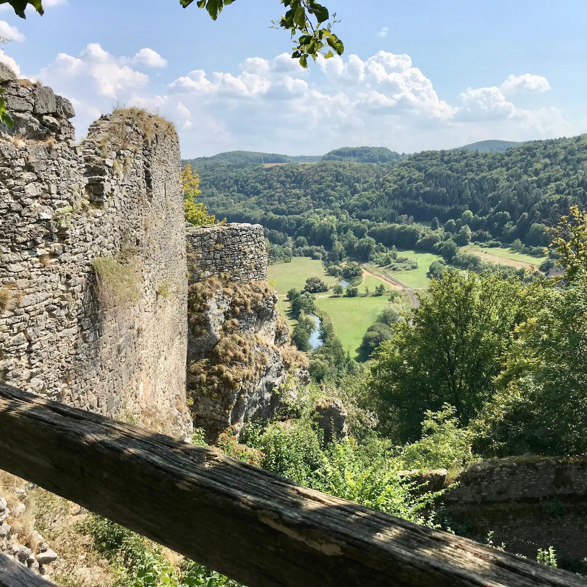
Beautiful Cedar Lake is a local recreational area for the residents of Chester. Two springs feed into this 80-acre water body. Its tree-lined shore and tranquil setting make it a beautiful vista when cycling past on W. Main Street.
0
0

Popular with local hikers, Millers Pond State Park is lovely to ride past through the tall surrounding trees. The heart of the park is Millers Pond, a hive of activity for kayakers and paddleboarders in the summer.
1
0

Great, quiet road. There is little traffic and a good amount of shade.
0
0
Frequently Asked Questions
What kind of no-traffic road cycling routes can I expect around Hurd State Park?
The Lower Connecticut River Valley, surrounding Hurd State Park, offers a variety of scenic road cycling routes with minimal traffic. You'll find a mix of paved and unpaved surfaces, often traversing distinctive red Triassic soils, rolling farmlands, and offering views of the Connecticut River. While Hurd State Park itself is more suited for hiking and mountain biking, the immediate vicinity provides excellent opportunities for quiet road rides.
How many no-traffic road cycling routes are available in the Hurd State Park area?
There are several no-traffic road cycling routes available in the Hurd State Park area, with komoot featuring 7 moderate routes. These routes vary in length and elevation, providing options for different preferences.
Are there any longer no-traffic road cycling routes for experienced riders?
Yes, for those looking for a longer challenge, consider the route titled Guilford Historic Town Center – Rock in the Hammonasset River loop from Middlesex Community College. This route covers approximately 92.5 km (57.5 miles) with over 640 meters (2,100 feet) of elevation gain, offering a substantial ride through varied scenery.
When is the best time of year to enjoy no-traffic road cycling around Hurd State Park?
The region is particularly beautiful in the fall, when the oak, maple, and beech trees display vibrant foliage along the riverbanks, creating a spectacular autumn experience. Spring and summer also offer pleasant conditions for cycling, with lush greenery and comfortable temperatures.
Where can I park when planning a no-traffic road cycling trip near Hurd State Park?
While specific parking for road cycling routes isn't detailed, Hurd State Park itself has parking facilities. Many routes in the area, such as the Big Hill loop from Middlesex, often start from towns or areas with public parking options. It's advisable to check the starting point of your chosen route for specific parking recommendations.
Are there any permits required for road cycling in the Hurd State Park area?
Generally, no specific permits are required for road cycling on public roads and designated trails in the Lower Connecticut River Valley. However, always respect private property and local regulations, especially if venturing onto less-trafficked paths.
What are some notable natural features or landmarks I might see on a road cycling route near Hurd State Park?
While the park's internal trails feature landmarks like 'Split Rock' and Hurd Brook, road cycling routes in the surrounding valley offer views of the scenic Connecticut River, coastal marshes, and rolling farmlands. You might also encounter sections of the Air Line Trail, which is part of the larger East Coast Greenway.
Are there any moderate-length no-traffic road cycling routes suitable for a half-day ride?
Yes, several moderate routes are ideal for a half-day ride. The Cedar Lake – Goose Hill loop from Middlesex County is a good option, covering about 34 km (21 miles) with moderate elevation, offering a pleasant and manageable ride.
What do other road cyclists enjoy most about cycling in the Hurd State Park area?
The komoot community often praises the scenic beauty and the quiet nature of the roads in the Lower Connecticut River Valley. Cyclists appreciate the varied terrain, from river views to rolling farmlands, and the opportunity to enjoy rides with minimal vehicle traffic.
Can I find routes that incorporate parts of the Air Line Trail for road cycling?
Yes, the Air Line Trail, which begins in East Hampton (the same town as Hurd State Park), offers significant opportunities for road cycling. Some sections are paved or have mixed paved and unpaved surfaces suitable for touring bikes, providing a unique no-traffic experience.
Is Hurd State Park itself suitable for road cycling?
Hurd State Park's internal trail system is primarily designed for hiking and mountain biking, with unpaved surfaces like packed earth, dirt, gravel, and crushed stone. For road cycling, the scenic routes in the surrounding Lower Connecticut River Valley are more appropriate, offering paved and mixed-surface options with less traffic.
Are there any circular no-traffic road cycling routes available?
Yes, many of the routes in the area are designed as loops, allowing you to start and end at the same point. For example, the Snell-Talbot Preserve – Nice quiet road loop from Brainard Homestead State Park is a circular route covering approximately 30.6 km (19 miles), perfect for a scenic round trip.
Most popular routes in Hurd State Park

Get inspired with the komoot mobile app


Explore more
Browse the best Road cycling routes in other regions.
