The best road cycling routes around Löffingen
4.5
(27)
275
riders
24
rides
Road cycling routes around Löffingen traverse the varied landscapes of the southern Black Forest, characterized by rolling hills, dense woodlands, and open agricultural areas. The region features numerous valleys and lakes, providing diverse terrain for road cyclists. Elevations are generally moderate, with some sustained climbs leading to scenic viewpoints.
Best road cycling routes around Löffingen
- The most popular road cycling route is Sankt Anna Church Unterbränd – View of Kirnbergsee loop from Göschweiler, a 24.7 miles (39.8 km) trail…
Last updated: June 26, 2026
4.0
(5)
60
riders
39.8km
01:53
510m
510m
Moderate road ride. Good fitness required. Mostly well-paved surfaces and easy to ride.
5.0
(1)
26
riders
66.0km
03:16
880m
880m
Moderate road ride. Good fitness required. Some segments of this route may be unpaved and difficult to ride.

Sign up for free
5.0
(2)
28
riders
78.0km
03:36
830m
830m
Moderate road ride. Good fitness required. Some segments of this route may be unpaved and difficult to ride.
4.3
(3)
15
riders
42.4km
02:31
460m
460m
Moderate road ride. Good fitness required. Mostly well-paved surfaces and easy to ride.
5.0
(4)
16
riders
48.3km
02:14
510m
510m
Moderate road ride. Good fitness required. Mostly well-paved surfaces and easy to ride.
Get access to more routes and recommendations from other explorers.
Sign up for free
Already have an account?
Our route recommendations are based on thousands of hikes, rides, and runs completed by other people on komoot.
Start today with a free account
Your next adventure awaits.
Login or Signup
Popular around Löffingen
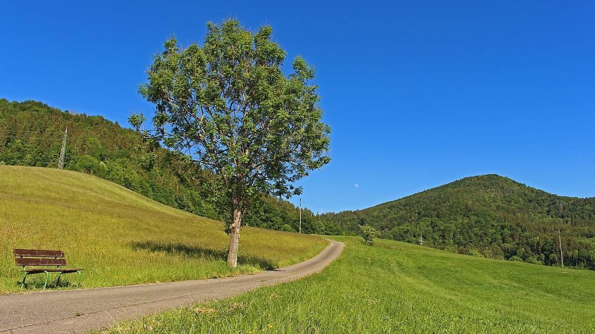
The Freiburg–Lake Constance Black Forest Trail — To the Swabian Sea
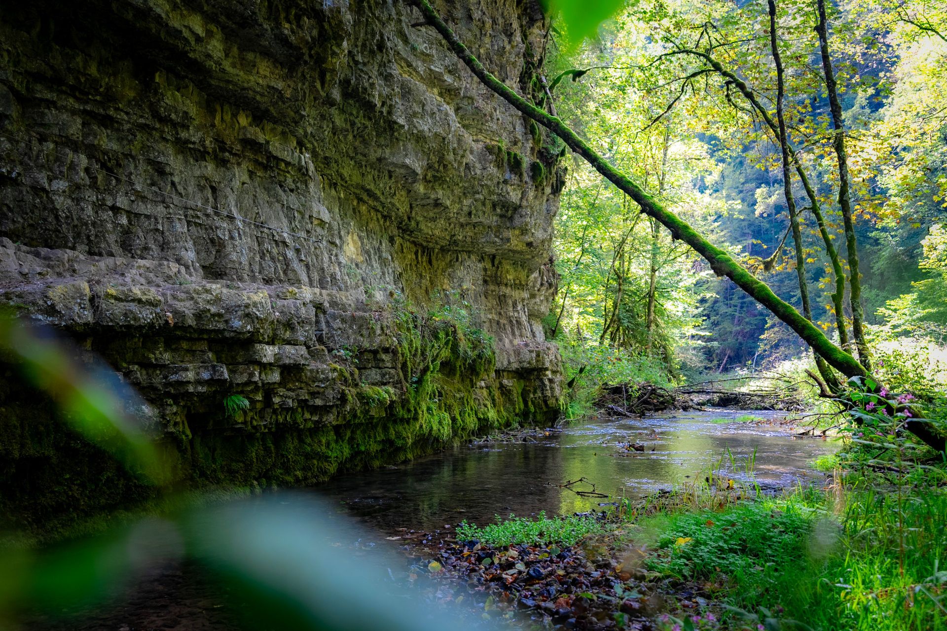
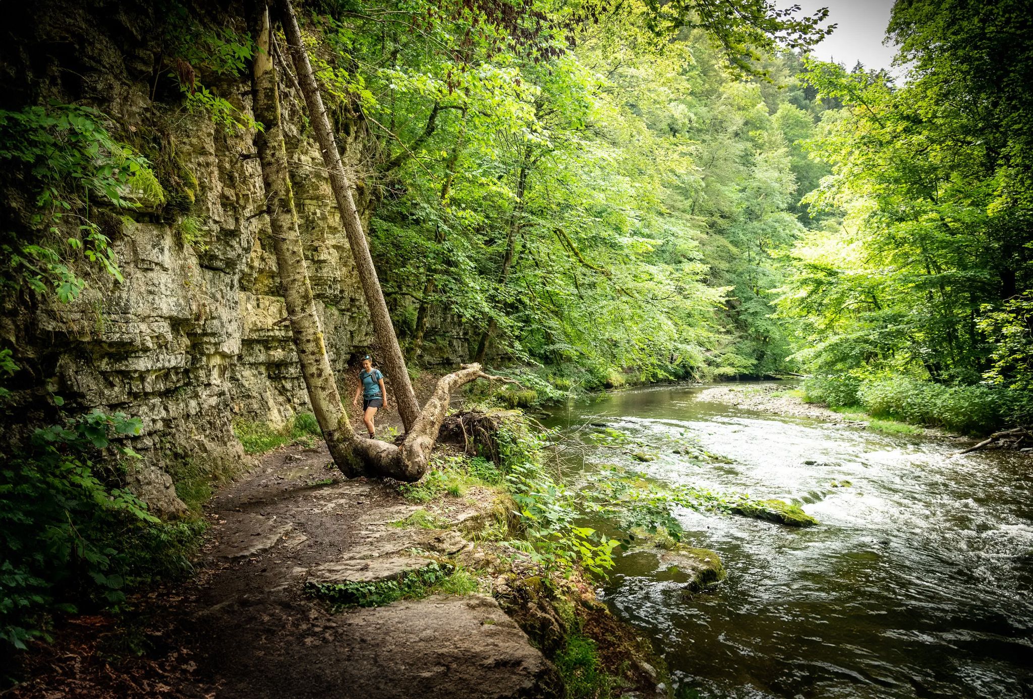
Germany’s largest canyon – hiking in the Wutach Gorge
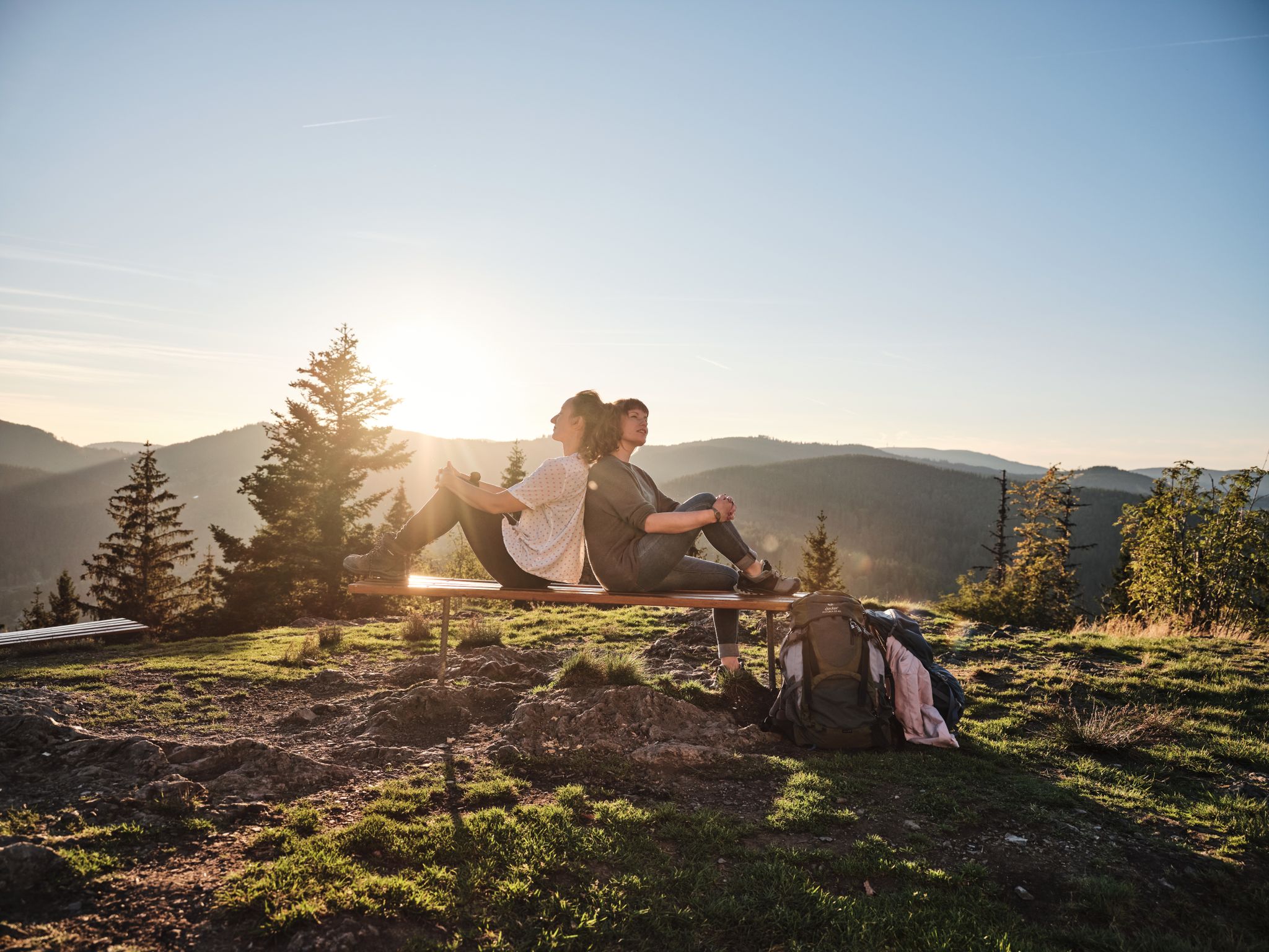
Hiking the Süden – between Black Forest, Lake Constance and Swabian Alb
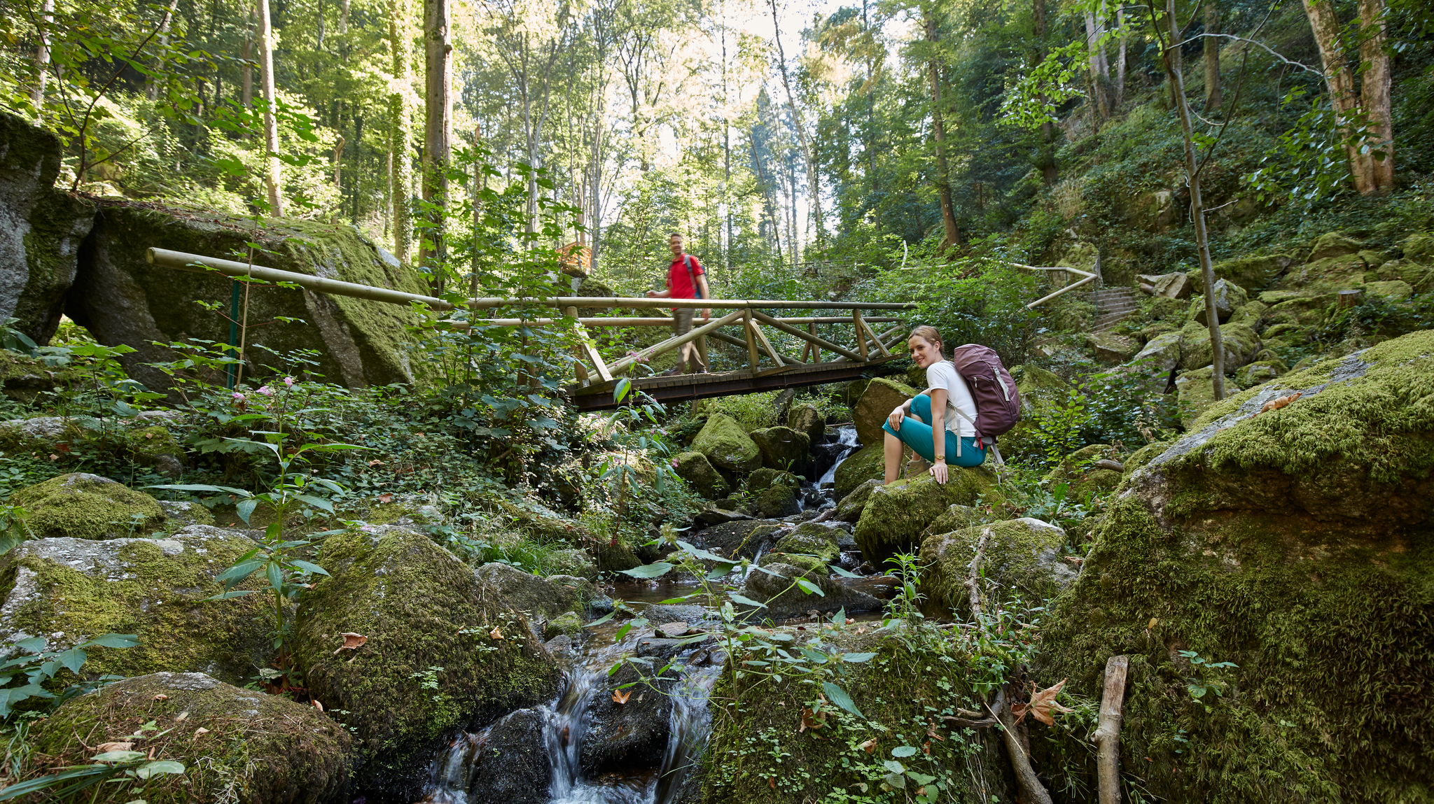
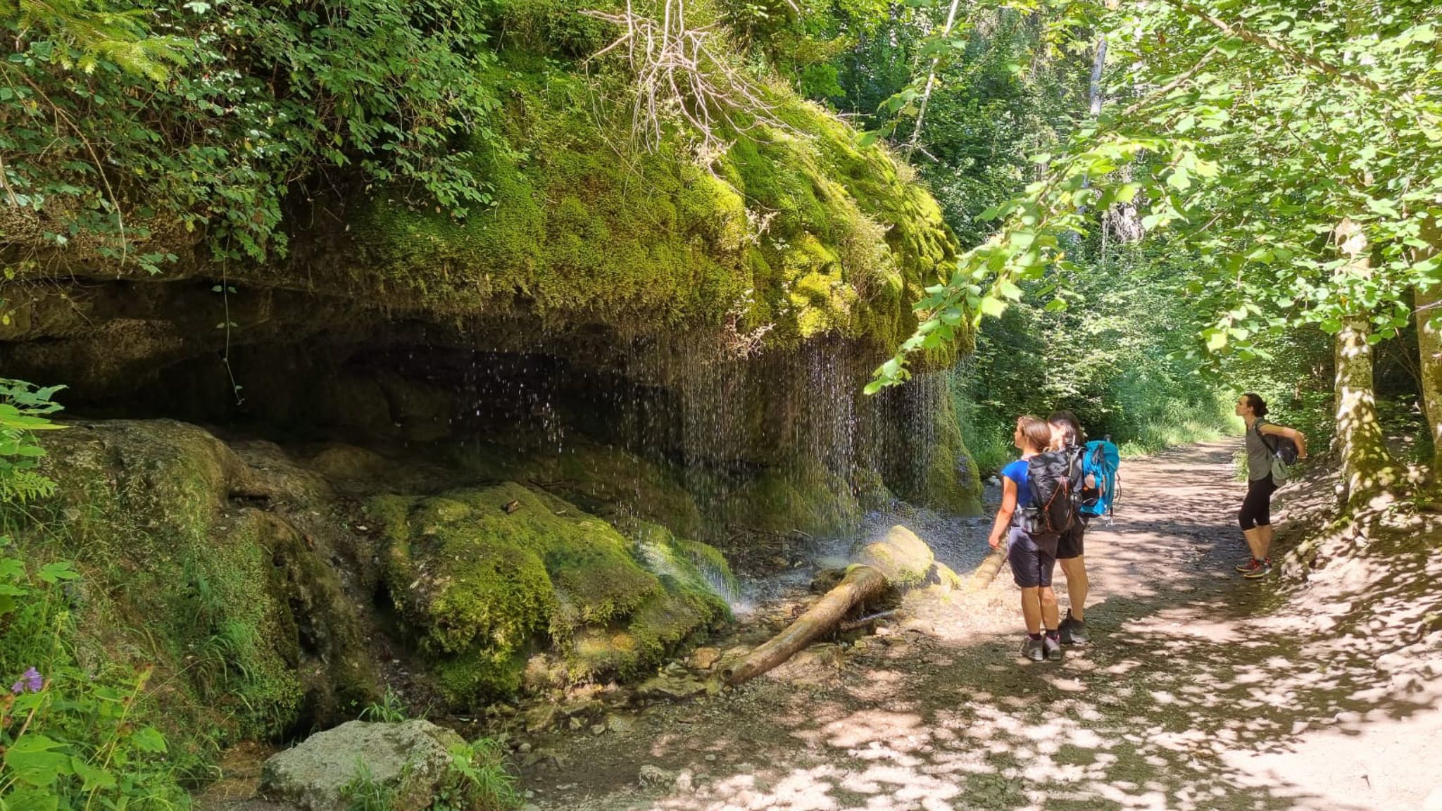
Waterfalls, gorges and cliffs – cooling off in Baden-Württemberg
Schluchtensteig-Ost | From Stühlingen to Schluchsee
Wide views and wild valleys – the Black Forest and the Swabian Alb
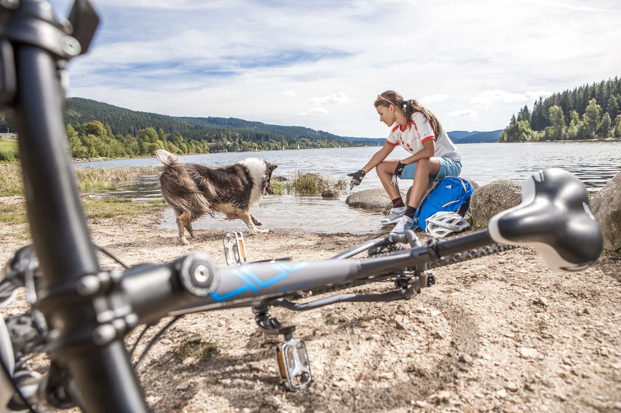
Panoramas, trails and lake hopping – biking in the Black Forest
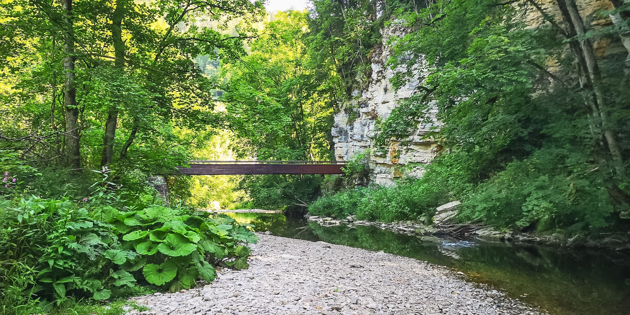
Babbling brooks and impressive canyons – the Gorge Trail
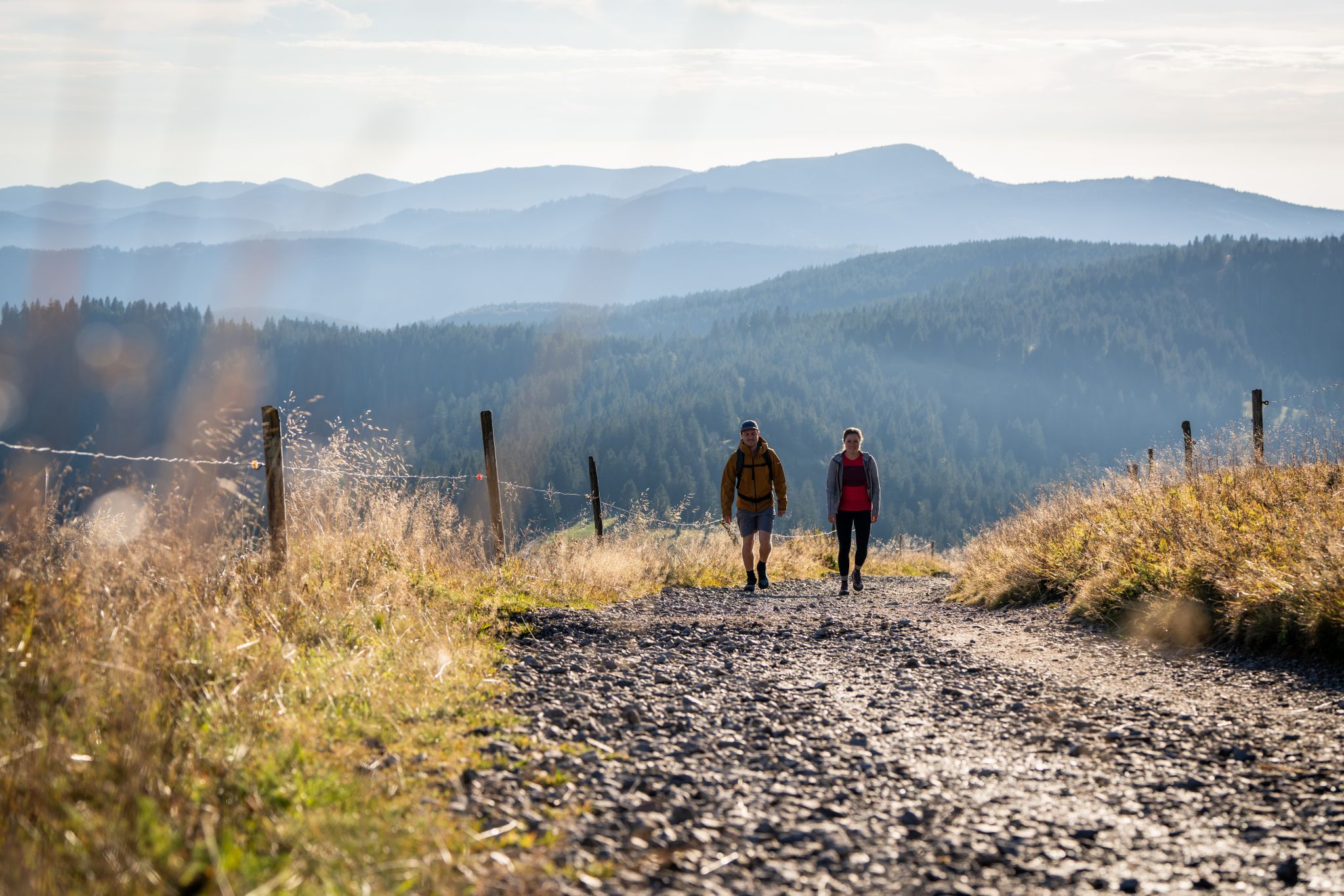
Premium hiking in the Black Forest
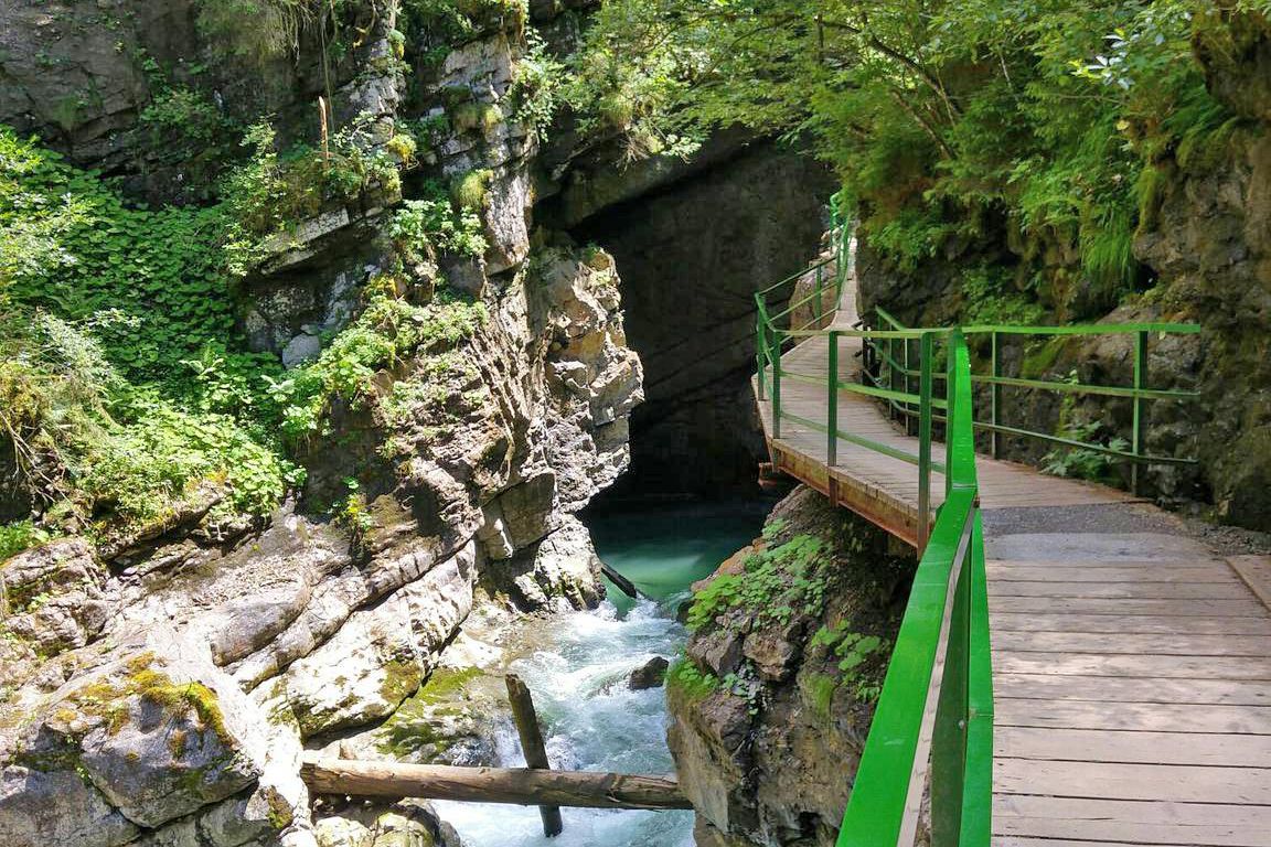
Wild gorges in southern Germany and northern Switzerland
Other adventures around Löffingen


Tips from the Community

Very pleasant, traffic-calmed ascent to Schwärzenbach
0
0

Another of Bräunlingen's well-preserved medieval town gates. The round tower and fortified arch are typical of the region's historic defenses — a satisfying landmark to ride through.
0
0
The Kirnbergsee is a pleasant small lake on the Baar plateau near Lenzkirch. A calm and scenic spot as the route transitions from forest to open countryside heading toward Donaueschingen.
0
0
Another lovely vantage point over the Kirnbergsee. The lake sits quietly in the open farmland between Feldberg and the Baar plateau — a calm spot on the final stretch toward Donaueschingen.
0
0

The road will be closed for eight months starting August 11, 2025. From Göschweiler, you can still reach Wutachmühle, but the southern approach is closed.
1
0
The road will be closed for eight months starting August 11, 2025. From Göschweiler, you can still reach Wutachmühle, but the southern approach is closed.
0
0

Visible from afar and very impressive and beautiful
0
0

A beautiful view of the valley
0
0
Frequently Asked Questions
How many road cycling routes are available around Löffingen?
There are over 25 road cycling routes around Löffingen, offering a variety of distances and difficulty levels to explore the southern Black Forest region.
What kind of terrain can I expect on road cycling routes in Löffingen?
The Löffingen region, nestled in the southern Black Forest, features varied landscapes. You'll encounter rolling hills, dense woodlands, and open agricultural areas. The routes often traverse numerous valleys and pass by lakes, providing diverse terrain. While elevations are generally moderate, some routes include sustained climbs leading to scenic viewpoints.
Are there easy road cycling routes suitable for beginners in Löffingen?
Yes, Löffingen offers several easier routes. There are 5 routes specifically rated as easy, perfect for beginners or those seeking a more relaxed ride through the scenic landscapes.
Can you recommend a challenging road cycling route in Löffingen?
For a more challenging ride, consider the Windgfällweiher – Windgfällweiher loop from Löffingen. This difficult 42.8-mile (68.9 km) path features significant elevation gain and circles the picturesque Windgfällweiher lake.
Are there any long-distance road cycling routes around Löffingen?
Yes, for longer distances, the View of Schwärzenbach Valley – Schollach Valley loop from Löffingen covers 48.5 miles (78 km) and offers extensive views through the valleys. Another option is the challenging Windgfällweiher – Windgfällweiher loop from Löffingen at 42.8 miles (68.9 km).
What are some scenic viewpoints along the road cycling routes in Löffingen?
Many routes offer panoramic views. For instance, the Sankt Anna Church Unterbränd – View of Kirnbergsee loop from Göschweiler provides views of Kirnbergsee. You can also find stunning vistas from highlights like the Hochfirst Tower and Hochfirst Mountain Inn or the View of Schluchsee from Riesenbühl Tower, which are accessible from some routes.
What do other road cyclists enjoy most about road cycling in Löffingen?
The area is highly rated by the komoot community, with an average score of 4.5 stars from over 20 reviews. Reviewers often praise the varied terrain, from rolling hills to scenic lake views, and the well-maintained routes that cater to different ability levels.
Are there any circular road cycling routes in Löffingen?
Yes, many of the routes around Löffingen are designed as loops. For example, the popular Sankt Anna Church Unterbränd – View of Kirnbergsee loop from Göschweiler and the more challenging Windgfällweiher – Windgfällweiher loop from Löffingen are both circular routes.
What natural attractions can be found near the road cycling routes?
Beyond the scenic landscapes, you can find natural attractions like the Tannegger Waterfall. The region also features several caves, such as the Polar Bear Cave and Nantelesloch Cave, which are interesting points of interest in the wider area.
What is the best time of year for road biking in Löffingen?
The spring, summer, and early autumn months generally offer the best conditions for road cycling in Löffingen. During these seasons, the weather is typically mild, and the landscapes are vibrant, making for enjoyable rides. Always check local weather forecasts before heading out.
Are there any historical or cultural landmarks to explore near the routes?
While cycling, you might pass by or near points of interest such as the Sauschwänzlebahn Steam Locomotive in Blumberg, a unique historical railway attraction. The Our Lady's Grotto (Wutachflühen) also offers a cultural and natural point of interest.
Most popular routes around Löffingen
Most popular attractions around Löffingen

Get inspired with the komoot mobile app


Explore more
Browse the best Road cycling routes in other regions.
