The best city hikes and walks in Monumento Naturale Altopiano Di Cariadeghe
4.3
(1855)
10,881
hikers
32
hikes
Urban hiking trails in Monumento Naturale Altopiano Di Cariadeghe are characterized by a distinctive karst topography, featuring dolines and surface sinkholes. The region is covered by diverse forests, including chestnut, hazelnut, and beech trees, providing varied scenery. While the area includes significant peaks, the urban hiking routes often feature minimal elevation changes, making them accessible for various skill levels.
Best urban hiking trails in Monumento Naturale Altopiano Di Cariadeghe
- The most popular urban hiking route is Il Birrino loop from…
Last updated: July 9, 2026
4.0
(4)
6
hikers
6.10km
01:33
10m
10m
Easy hike. Great for any fitness level. Easily-accessible paths. Suitable for all skill levels.
5.0
(1)
5
hikers
Easy hike. Great for any fitness level. Easily-accessible paths. Suitable for all skill levels.

Sign up for free
4
hikers
3.71km
00:57
10m
10m
Easy hike. Great for any fitness level. Easily-accessible paths. Suitable for all skill levels.
3.0
(2)
4
hikers
4.56km
01:10
10m
10m
Easy hike. Great for any fitness level. Easily-accessible paths. Suitable for all skill levels.
5
hikers
Easy hike. Great for any fitness level. Easily-accessible paths. Suitable for all skill levels.
Get access to more routes and recommendations from other explorers.
Sign up for free
Already have an account?
Our route recommendations are based on thousands of hikes, rides, and runs completed by other people on komoot.
Start today with a free account
Your next adventure awaits.
Login or Signup
Popular around Monumento Naturale Altopiano Di Cariadeghe
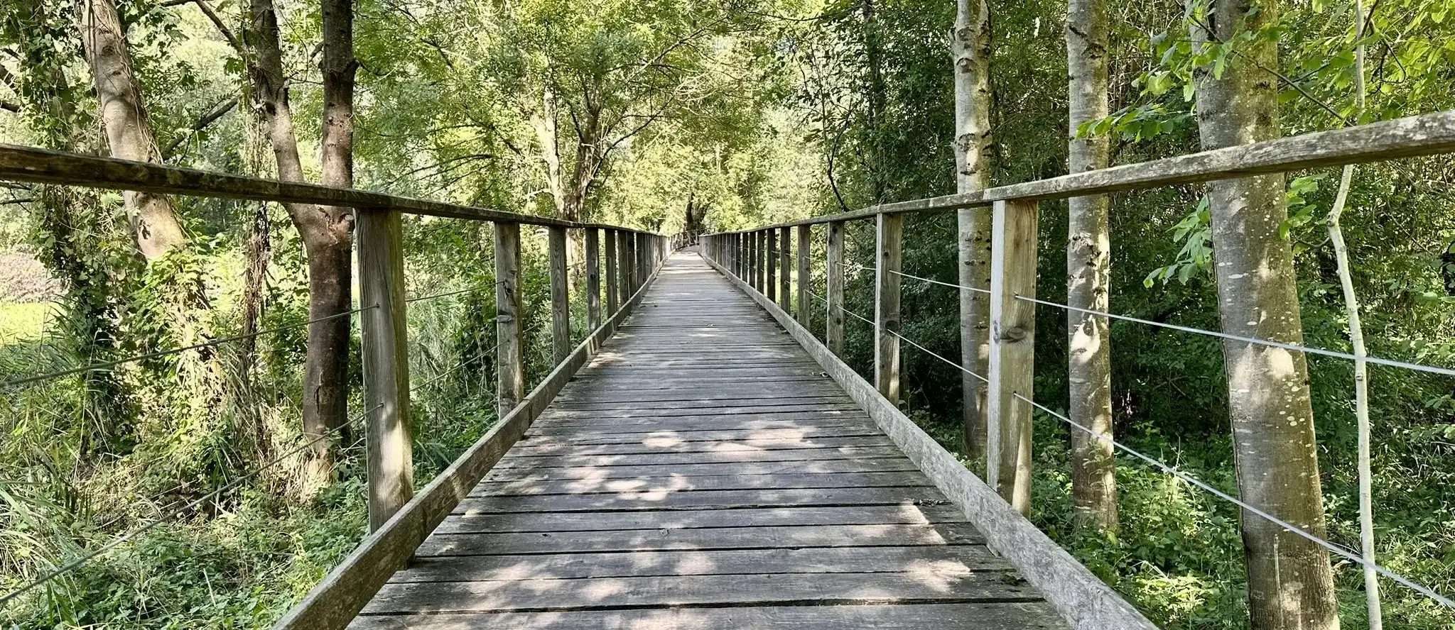
Other adventures in Monumento Naturale Altopiano Di Cariadeghe

Tips from the Community

beautiful but close to the ring road, indeed parallel!
0
0

Bat Cave
0
0
Marble Cathedral
1
1
Mount Budellone
0
0

The Mazzano-Gavardo cycle path winds along the Naviglio Grande Bresciano and allows you to pedal in complete tranquility surrounded by greenery and on a smooth asphalt surface.
1
0

Old BS-Idro tramway station abandoned since the 1930s and now transformed into a cycle path near Gavardo
0
0

the "famous" cathedral, a little smaller than expected
1
0

Art on the roundabout, with cycle path.
0
0
Frequently Asked Questions
How many urban hiking trails are there in Monumento Naturale Altopiano Di Cariadeghe?
Monumento Naturale Altopiano Di Cariadeghe offers over 30 urban hiking trails. These routes are generally well-maintained and suitable for various skill levels, with 25 easy and 9 moderate options available.
What kind of landscape can I expect on urban hikes in Altopiano Di Cariadeghe?
The urban hikes in Altopiano Di Cariadeghe traverse a unique karst landscape, characterized by fascinating geological formations like dolines (sinkholes) and extensive underground caves. You'll also walk through diverse forests featuring chestnut, beech, and oak trees, and encounter wide meadows. Some trails offer panoramic views from significant peaks like Mount Ucia.
Are there any easy urban hiking routes suitable for beginners?
Yes, there are many easy urban hiking routes. For instance, the Il Birrino loop from Mazzano is a great option, offering a gentle walk with minimal elevation changes. Another accessible choice is the Hiking loop from Gavardo.
What are some interesting landmarks or natural features to see along the urban trails?
Along the urban trails, you can explore several notable features. The Prato della Carlina is a popular spot known for its serene atmosphere. You might also encounter the historic Monastery of San Bartolomeo in Serle, which offers stunning panoramic views, or the tranquil Pozza del Ruchì, a natural pool.
Are there any moderate urban hiking trails for those seeking a bit more challenge?
Yes, for those looking for a slightly more challenging urban hike, the F-84 Thunderjet Monument – Il Birrino loop from Mazzano is a moderate route. It offers a longer distance and slightly more elevation gain compared to the easier options, providing a good workout while still being accessible.
What do other hikers enjoy most about urban hiking in Monumento Naturale Altopiano Di Cariadeghe?
The area is highly rated by the komoot community, with an average score of 4.2 stars from over 260 ratings. Reviewers often praise the unique karst topography, the diverse forests, and the well-maintained network of trails that make for enjoyable and accessible urban hikes.
Are the urban hiking trails in Altopiano Di Cariadeghe suitable for families?
Many of the urban hiking trails in Altopiano Di Cariadeghe are suitable for families, especially the 25 easy routes. These often have minimal elevation changes and can be completed in a few hours, making them ideal for walks with children. The diverse natural features, like the dolines and forests, can also be engaging for younger explorers.
Can I find places to rest or get refreshments along the urban hiking routes?
Yes, the Alpini Mountain Hut, Serle is located on the plateau and serves as a convenient stop for hikers. It's a great place to rest and get refreshments, and it also acts as a starting point for some circular tours in the area.
What is the best time of year to go urban hiking in Monumento Naturale Altopiano Di Cariadeghe?
The Altopiano Di Cariadeghe offers varied scenery throughout the year. Spring and autumn are particularly beautiful, with vibrant foliage in the forests during autumn. The trails are generally accessible year-round, but checking local conditions is always advisable, especially during winter months.
Are there any circular urban hiking routes available?
Yes, many of the urban hiking routes in the area are circular. For example, the Mazzano–Gavardo Cycle Path – Old station Prevalle loop from Prevalle is a pleasant circular option, allowing you to start and end your hike in the same location without retracing your steps.
What kind of natural features make Altopiano Di Cariadeghe unique for urban hiking?
The Altopiano Di Cariadeghe is unique due to its distinctive karst topography, which includes numerous dolines (sinkholes) and an extensive system of underground caves. These geological formations, combined with dense, diverse forests and wide meadows, create a fascinating and varied environment for urban hikers to explore.
Most popular routes in Monumento Naturale Altopiano Di Cariadeghe
Most popular attractions in Monumento Naturale Altopiano Di Cariadeghe

Get inspired with the komoot mobile app


Explore more
Browse the best Hikes in other regions.
