The best traffic-free bike rides in Riserva Naturale Provinciale Monte Serra Di Sotto
4.4
(738)
6,901
riders
99
rides
No traffic touring cycling routes in Riserva Naturale Provinciale Monte Serra Di Sotto traverse a varied landscape on the southeastern side of Monte Pisano. The region is characterized by extensive maritime pine forests, evergreen sclerophyllous and conifer woods, and cultivated areas featuring chestnut and olive groves. Monte Serra, the highest peak at 917 meters above sea level, offers panoramic views of the central-northern Tuscan coast. This diverse environment provides a range of routes for touring cyclists.
Best no traffic touring…
Last updated: July 9, 2026
1.0
(1)
9
riders
Hard bike ride. Very good fitness required. Mostly paved surfaces. Suitable for all skill levels.
5.0
(3)
42
riders
26.2km
02:13
860m
860m
Hard bike ride. Very good fitness required. Mostly paved surfaces. Suitable for all skill levels.

Sign up for free
20
riders
31.7km
02:51
710m
700m
Hard bike ride. Very good fitness required. You may need to push your bike for some segments of this route.
15
riders
44.7km
04:00
1,100m
1,100m
Hard bike ride. Very good fitness required. Mostly paved surfaces. Suitable for all skill levels.
5
riders
27.4km
01:56
190m
190m
Moderate bike ride. Good fitness required. Mostly paved surfaces. Suitable for all skill levels.
Get access to more routes and recommendations from other explorers.
Sign up for free
Already have an account?
Our route recommendations are based on thousands of hikes, rides, and runs completed by other people on komoot.
Start today with a free account
Your next adventure awaits.
Login or Signup
Popular around Riserva Naturale Provinciale Monte Serra Di Sotto
Tips from the Community

Known as the "Borgo delle Camelie" (Village of Camellias), Sant'Andrea di Compito is a charming hillside jewel characterized by ancient stone towers, historic courtyards, and springs of purest water. Thanks to an exceptional microclimate, the village hosts the splendid Camellietum Compitese, a botanical garden of excellence that gathers hundreds of centuries-old camellia varieties from all over the world.
1
0

The Tempietto-Cisterna di Guamo is the intake point and the southern end of the Monumental Aqueduct Nottolini. Located in the municipality of Capannori, it was designed by Lorenzo Nottolini and built between 1823 and 1825 at the behest of Duchess Maria Luisa of Bourbon. It is a circular building in neoclassical style with the original function of collecting and filtering the spring waters of Monte Pisano, intended for the water supply of the city of Lucca. The route of the so-called "Passeggiata dell’Acquedotto" also starts from the Tempietto, following the arches to the city.
0
0

I traced this route without knowing I would have this view of Pisa and the Mediterranean. The climb has sections with steep gradients, so warm up a bit before reaching the foot of the climb. CAUTION: if you have a support vehicle, the descent does not allow two cars to pass side-by-side.
0
0

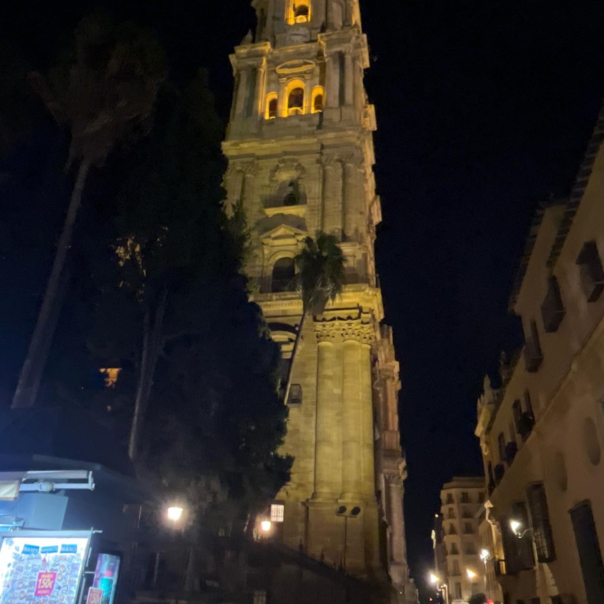
Beautiful structure even if not very old
0
0

Important crossroads of the mountain
0
0

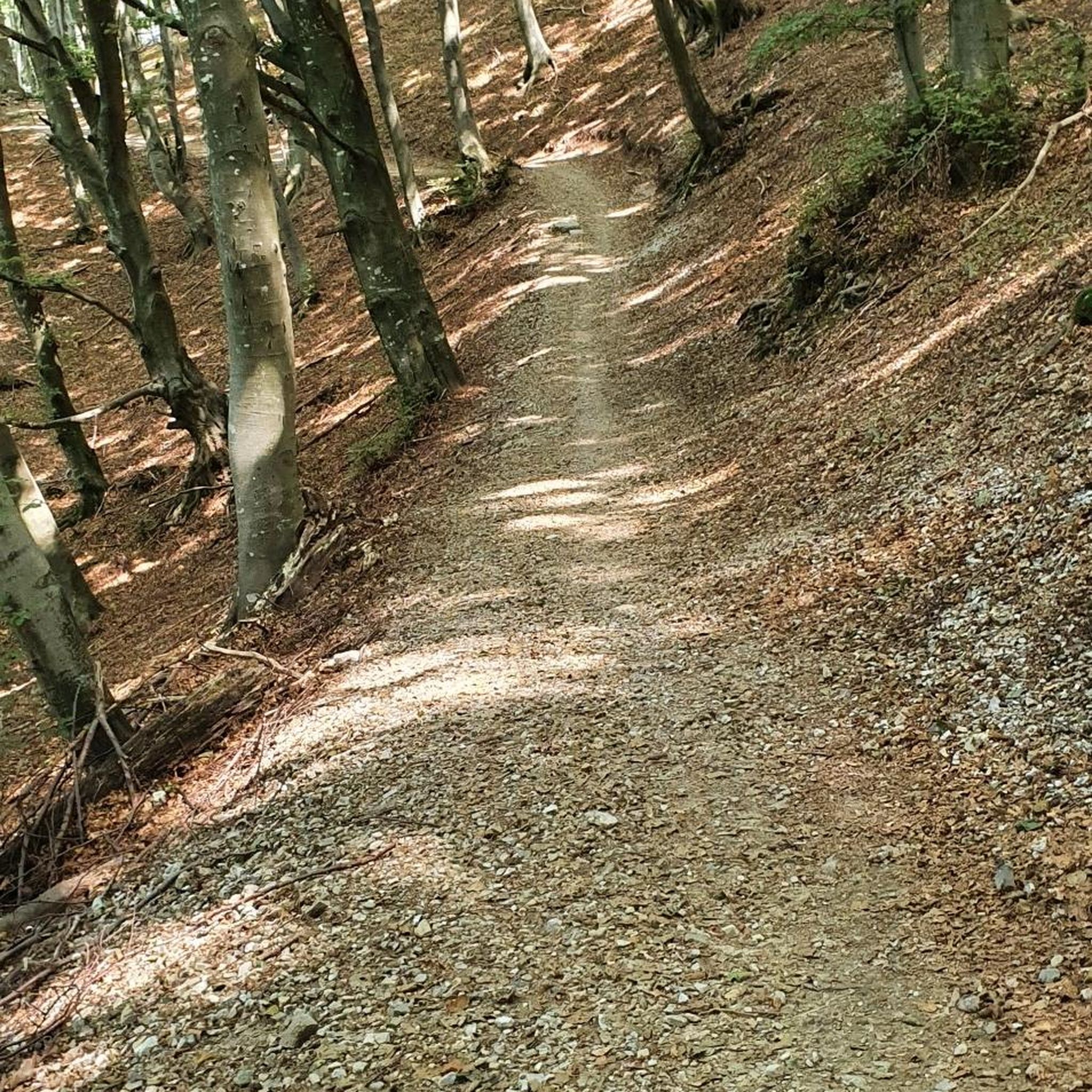
beautiful gravel road to or from Vicopisano
0
0

Very nice here.
0
0
Very nice view all the way to Pisa and the sea.
0
0
Frequently Asked Questions
How many no traffic touring cycling routes are available in Riserva Naturale Provinciale Monte Serra Di Sotto?
There are over 85 dedicated no traffic touring cycling routes in Riserva Naturale Provinciale Monte Serra Di Sotto, offering a wide range of options for cyclists of all levels.
What are the difficulty levels of the no traffic touring cycling routes?
The routes vary significantly in difficulty. You'll find 22 easy routes, 18 moderate routes, and 49 difficult routes. For a challenging ride with panoramic views, consider the Monte Faeta Summit View – View of Pisa from Monte Pisano loop from Riserva naturale provinciale Monte Serra di Sotto, which is rated difficult.
Are there any circular no traffic touring cycling routes?
Yes, many of the no traffic touring cycling routes in the region are circular. For example, the Buti – Ristorante I Cristalli loop from Buti offers a challenging circular tour through the landscape.
What kind of landscapes can I expect on these routes?
The routes traverse diverse landscapes, including extensive maritime pine forests, evergreen sclerophyllous and conifer woods, and cultivated areas with chestnut and olive groves. The Monte Serra itself, at 917 meters, offers panoramic views of the central-northern Tuscan coast.
Are there any interesting landmarks or viewpoints along the no traffic routes?
Absolutely. You can explore historical sites like Dolorosa Rock, a strategic peak with commanding views. Other notable points include the View of the Pisan Plain from Prato Ceragiola Pass and the Prato a Giovo Nature Trail. For a route that combines history and scenery, try the Via di Costia – Medieval Towers of Vicopisano loop from Buti.
Can I bring my dog on these no traffic touring cycling routes?
While many outdoor areas in Italy are dog-friendly, it's always best to check local regulations for specific trails within the Riserva Naturale Provinciale Monte Serra Di Sotto. Generally, dogs on a leash are permitted on most public paths, but be mindful of wildlife and other users.
Are these routes suitable for families?
Yes, there are 22 easy routes that are generally suitable for families, especially those with some cycling experience. These routes often feature mostly paved surfaces and gentler gradients. Always check the route details on Komoot for specific terrain and elevation profiles to ensure it matches your family's abilities.
What is the best time of year to go touring cycling in Riserva Naturale Provinciale Monte Serra Di Sotto?
Spring and autumn are generally the most pleasant seasons for touring cycling in this region, offering mild temperatures and beautiful scenery. Summer can be hot, especially in July and August, so early morning or late afternoon rides are recommended. Winter can be cooler, but many routes remain accessible.
Where can I park my car to access these routes?
Parking is typically available in the towns and villages surrounding the reserve, such as Buti or Calci, which serve as common starting points for many routes. Look for designated parking areas or public car parks. Always check local signage for any restrictions or fees.
What kind of wildlife might I encounter on the no traffic routes?
The reserve is home to diverse wildlife. You might spot reptiles like the fire salamander or ringed snake, and birds such as the woodlark, blue rock thrush, and kestrels. Mammals like dormice, porcupines, and hazel mice also inhabit the area, particularly in the quieter, forested sections.
What do other touring cyclists enjoy most about touring cycling in Riserva Naturale Provinciale Monte Serra Di Sotto?
The area is highly rated by the komoot community, with an average score of 4.4 stars. Reviewers often praise the quiet, traffic-free nature of the routes, the stunning panoramic views from higher elevations, and the diverse natural beauty, from pine forests to olive groves.
Are there any longer, more challenging no traffic touring routes for experienced cyclists?
For experienced cyclists seeking a longer and more challenging no traffic tour, the Nottolini Aqueduct – Guamo Temple-Cistern loop from Buti covers over 44 km with significant elevation gain, offering a demanding ride through varied terrain.
Are there any cafes or places to stop for refreshments along the routes?
Many routes pass through or near small towns and villages like Buti, where you can find cafes, restaurants, and shops to refuel. For example, the Buti – Ristorante I Cristalli loop from Buti starts and ends in a town with amenities. It's always a good idea to carry sufficient water and snacks, especially on longer or more remote sections.
Most popular routes in Riserva Naturale Provinciale Monte Serra Di Sotto
Most popular attractions in Riserva Naturale Provinciale Monte Serra Di Sotto

Get inspired with the komoot mobile app


Explore more
Browse the best Cycling routes in other regions.
