The best hikes from bus stations in Meißner
4.6
(9457)
31,947
hikers
25
hikes
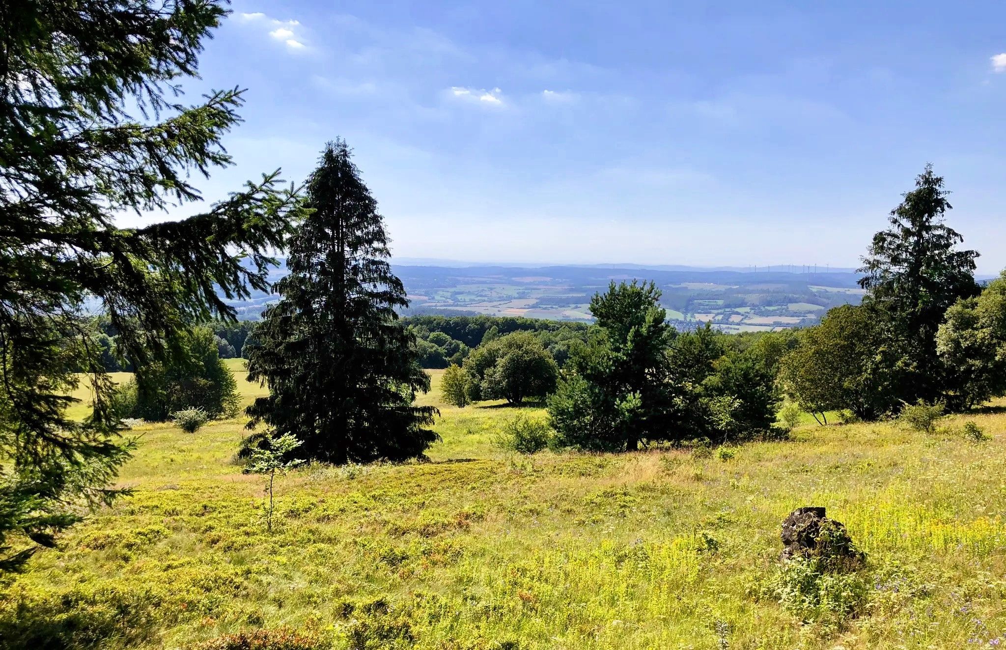
Bus station hiking trails in Meißner traverse a diverse landscape within the Geo-Naturpark Frau-Holle-Land, characterized by gentle hills, deep forests, and prominent basalt formations. The region's centerpiece is the Hoher Meißner mountain massif, offering varied hiking experiences across its plateau-shaped summit. Hikers will encounter scenic valleys, open plateaus, and unique ecological zones like juniper heath and calcareous grasslands. The Werra Valley also provides panoramic views from many of the trails.
Best bus station hiking trails in Meißner
- The most popular…
Last updated: June 25, 2026
4.8
(21)
70
hikers
5.17km
01:30
130m
130m
Easy hike. Great for any fitness level. Easily-accessible paths. Suitable for all skill levels.
4.7
(27)
71
hikers
Moderate hike. Good fitness required. Easily-accessible paths. Suitable for all skill levels.

Sign up for free
4.7
(58)
206
hikers
7.15km
02:02
150m
150m
Moderate hike. Good fitness required. Mostly accessible paths. Sure-footedness required.
4.8
(15)
42
hikers
15.1km
04:16
320m
320m
Moderate hike. Good fitness required. Mostly accessible paths. Sure-footedness required.
4.7
(18)
60
hikers
Easy hike. Great for any fitness level. Easily-accessible paths. Suitable for all skill levels.
Get access to more routes and recommendations from other explorers.
Sign up for free
Already have an account?
Our route recommendations are based on thousands of hikes, rides, and runs completed by other people on komoot.
Start today with a free account
Your next adventure awaits.
Login or Signup


Tips from the Community

If poles help you on the descent, you should bring them. In wet weather, non-slip hiking boots are essential. It goes steeply downhill!
1
0
Admittedly: the moss-covered stones give the surrounding forest a fairytale-like quality.
1
0

This bridge was built by students who were on a class trip to the Naturfreundehaus.
0
0

The old building is now well used as a residential
0
2
Steep descent, sturdy footwear recommended! Very slippery in winter. Several information panels about native owl species are located along the Owl Trail.
2
1
A great round with many views
2
2
Here you can see a great view
2
2

Our homeland always surprises me…
0
0
Frequently Asked Questions
How many bus-accessible hiking trails are available in Meißner?
There are 25 hiking trails in Meißner that are easily accessible by bus, offering a variety of experiences for different fitness levels. Of these, 17 are considered easy, making them suitable for beginners or families.
What makes hiking in Meißner unique when starting from a bus station?
Meißner's bus-accessible trails offer a unique blend of natural beauty and local folklore. You can explore the diverse landscapes of the Hoher Meißner mountain massif, including its prominent basalt formations and dense forests, often encountering sites connected to the Frau Holle legends. Many routes also provide stunning panoramic views of the Werra Valley.
Are there easy or family-friendly hiking routes accessible by bus in Meißner?
Yes, Meißner offers several easy and family-friendly routes accessible by bus. For a gentle introduction to the region's legends, consider the Sycamore Maple Experimental Plot – Frau Holle Trail Hoher Meißner loop, which is an easy 5 km walk. These trails often feature well-maintained paths suitable for all ages.
Can I find circular hiking routes that start and end at a bus stop in Meißner?
Absolutely. Many of the bus-accessible trails in Meißner are circular, allowing you to return to your starting point without needing additional transport. An excellent example is the View below the Meißnerhaus – Seesteine Natural Monument loop, which takes you past significant natural features.
What kind of natural attractions can I see along these bus-accessible routes?
Meißner's bus-accessible routes are rich in natural attractions. You can encounter unique basalt formations like the Seesteine Natural Monument, visit the legendary Frau Holle Pond, or enjoy views from the Kalbe summit. Some trails also lead to the serene Lake Kalbe.
Are there any historical sites or cultural points of interest along the bus station hiking trails?
Yes, several routes combine natural beauty with historical insights. For instance, the Eulenstieg Owl Trail – Johannesstollen loop can lead you to the Friedrichsstollen Mining Tunnel, offering a glimpse into the region's mining past. You might also find other historical sites like the Haus Halde, which details the mining history of the Hoher Meißner.
What is the best season for hiking in Meißner using public transport?
Meißner is beautiful year-round. Spring brings blooming wildflowers, while summer offers lush greenery and pleasant temperatures. Autumn transforms the forests into a vibrant display of colors, and winter, though colder, can provide serene, snow-covered landscapes. The well-maintained trails ensure accessibility in most conditions.
Are there any moderate difficulty trails accessible by bus for more experienced hikers?
Yes, for those seeking a bit more challenge, there are 8 moderate trails accessible by bus. A good option is the Meißnerhaus Naturfreundehaus – Wooden Footbridge Over Stream loop, which covers over 8.5 km with some elevation changes. Another moderate route, the Seesteine Natural Monument – Lake Kalbe loop, offers a longer journey of over 15 km with significant elevation gain.
What do other hikers enjoy most about hiking in Meißner?
The area is highly rated by the komoot community, with an average score of 4.6 stars from over 9,000 ratings. Reviewers often praise the diverse landscapes, the well-marked paths, and the unique combination of natural beauty with local legends and historical sites, making each hike an engaging experience.
Are there any caves or geological formations to explore on these trails?
Yes, the region is known for its interesting geological features. You can explore the Kitzkammer Basalt Cave, a fascinating basalt formation. Other notable geological sites include the Seesteine Natural Monument, which showcases impressive dark basalt rocks.
Are the bus-accessible hiking trails in Meißner dog-friendly?
Generally, most hiking trails in Meißner are dog-friendly, provided dogs are kept on a leash, especially in nature protection areas or near wildlife. It's always a good idea to check specific trail regulations or local signage for any restrictions before heading out with your canine companion.
Most popular routes in Meißner
Most popular attractions in Meißner

Get inspired with the komoot mobile app


Explore more
Browse the best Hikes in other regions.
