The best hikes from bus stations in Weesener Bach
4.5
(9095)
32,084
hikers
29
hikes
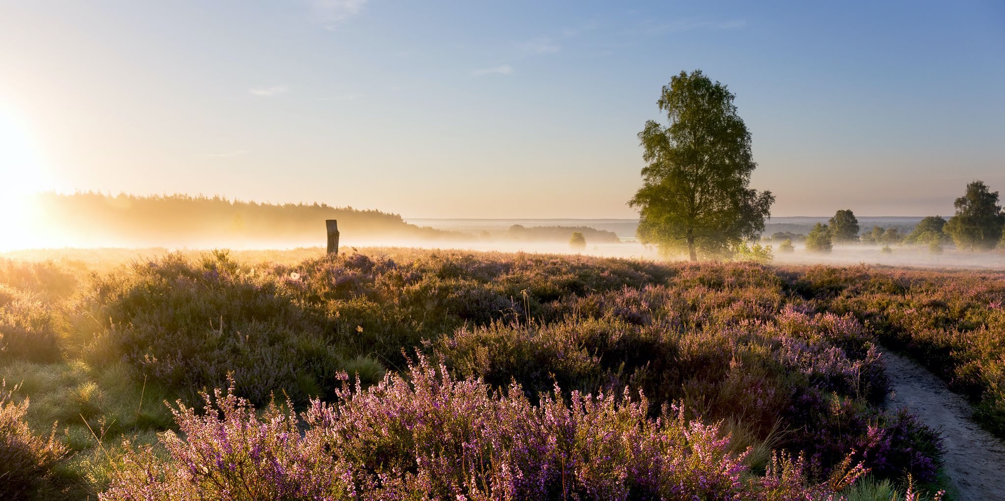
Bus Station hikes Weesener Bach explore a predominantly flat landscape within the Südheide Nature Park, Lower Saxony, Germany. The region is characterized by the Weesener Bach, an ecologically significant, summer-cold heath stream, and its protected banks. Hikers encounter diverse biotope types, including floodplain, marsh, and moor forests, wet and moorland bushes, species-rich grasslands, and various heaths. Primitive pines and juniper also contribute to the distinctive natural environment.
Best bus station hiking trails in Weesener Bach
- The most popular bus station…
Last updated: June 25, 2026
4.4
(5)
11
hikers
14.9km
03:49
60m
60m
Moderate hike. Good fitness required. Easily-accessible paths. Suitable for all skill levels.
4.5
(4)
9
hikers
2.54km
00:39
0m
10m
Easy hike. Great for any fitness level. Easily-accessible paths. Suitable for all skill levels.

Sign up for free
5.0
(1)
6
hikers
Moderate hike. Good fitness required. Easily-accessible paths. Suitable for all skill levels.
4.5
(4)
10
hikers
2.45km
00:37
10m
10m
Easy hike. Great for any fitness level. Easily-accessible paths. Suitable for all skill levels.
5.0
(4)
8
hikers
9.66km
02:30
50m
50m
Moderate hike. Good fitness required. Easily-accessible paths. Suitable for all skill levels.
Get access to more routes and recommendations from other explorers.
Sign up for free
Already have an account?
Our route recommendations are based on thousands of hikes, rides, and runs completed by other people on komoot.
Start today with a free account
Your next adventure awaits.
Login or Signup
Popular around Weesener Bach
Other adventures in Weesener Bach

Tips from the Community

From here you can participate in forest and heath yoga every first Friday of the month from March to October from 4 PM to 5:30 PM!
0
0

Simple hotel on the roadside... perfect for an overnight stay on a multi-day tour... otherwise the restaurant is suitable for a refreshment
1
0
Small place in the Südheide... a restaurant, otherwise nothing earth-shattering
1
0
For the stage change 11/12 of the Heidschnuckenweg, hikers will find route information here again.
1
0
Beautiful resting place on the edge of the Misselhorner Heide and directly at the parking lot... several seating areas invite you to pause... in bad weather, you can find shelter under the simple shelter
1
0
Nice place to sit under the remarkable oak tree... the oak tree provides cooling shade...
2
0
Simple shelters like this are found more often in the heath. The huts offer shelter and the benches invite you to linger... if necessary, they are also suitable for an emergency overnight stop
1
0
Beautiful village square with numerous benches and tables... a water pump provides liquid and the trees offer wonderful shade... a beautiful resting place on the outskirts of Lutterloh
1
0
Frequently Asked Questions
How many bus station hiking trails are available in Weesener Bach?
There are nearly 30 hiking trails in the Weesener Bach region that are easily accessible from bus stations. These routes offer a variety of experiences, with 11 easy, 15 moderate, and 3 difficult options to choose from.
Are there any easy, family-friendly hikes accessible by bus in Weesener Bach?
Yes, the Weesener Bach area is known for its flat and accessible terrain, making it ideal for families. An excellent easy option is the Weesen Village – Hotel Im Wiesengrund loop from Weesen, which is just 2.4 km long and takes about 35 minutes to complete. Another short, easy route is the Hotel Im Wiesengrund – Weesen Village loop from Weesen.
What kind of natural features can I expect to see along bus-accessible trails in Weesener Bach?
The Weesener Bach region is a protected nature reserve, offering diverse natural beauty. You'll encounter the ecologically significant Weesener Bach stream itself, with its clear waters and rich aquatic life. The trails often lead through various biotopes including floodplain, marsh, and moor forests, as well as species-rich grasslands and heathlands with primitive pines and juniper. Keep an eye out for kingfishers and other rare species along the banks of the Weesener Brook.
Are there any historical or cultural attractions near the bus station hiking routes?
Absolutely. A notable cultural highlight is the Luttermühle, also known as the Lutterbach Watermill. This historical sawmill has been operating since 1757 and is a popular day-trip destination. You might also discover the Historic Farmstead in Naturpark Südheide along some routes.
What is the best time of year to hike in Weesener Bach, especially when relying on public transport?
The Weesener Bach region is beautiful year-round. Spring brings blooming flora, while summer offers pleasant temperatures for walking along the stream. Autumn showcases vibrant fall colors in the forests and heathlands. Even winter can be charming, with crisp air and potentially snow-dusted landscapes. Public transport schedules generally remain consistent, so you can plan your visit based on your preferred seasonal scenery.
Are there any longer, moderate hikes accessible from bus stops?
Yes, for those looking for a longer adventure, the Path Along the Örtze River – Müden (Örtze) village loop from Weesen is a moderate 15.5 km route. Another excellent moderate option is the Misselhorner Heath – Misselhorner Heide Shelter loop from Weesen, covering nearly 15 km through beautiful heath landscapes.
What do other hikers say about the bus-accessible trails in Weesener Bach?
The Weesener Bach region is highly rated by the komoot community, with an average score of 4.5 out of 5 stars from over 8,800 ratings. Reviewers often praise the tranquil natural environment, the well-maintained paths, and the ease of access to these beautiful trails via public transport.
Are dogs allowed on the hiking trails in Weesener Bach when starting from a bus station?
Generally, dogs are welcome on hiking trails in the Weesener Bach nature reserve. However, as it is a protected area with sensitive wildlife, it's crucial to keep dogs on a leash at all times to protect the local flora and fauna. Always check for specific signage along the trails for any local restrictions.
Are there any circular routes that start and end near a bus station?
Many of the trails in Weesener Bach are designed as circular routes, making them convenient for public transport users. For example, the Beetle Grove (Käfernwäldchen) – Lutterloh Picnic Area loop from Lutterloh is a moderate 8.7 km circular hike that offers varied natural surroundings and is accessible from local bus stops.
Are there facilities like wading pools or picnic areas along the bus-accessible routes?
Yes, you can find facilities that enhance your hiking experience. The region features a Wading pool on the Weesener Bach, perfect for cooling off on warmer days. Many routes also pass by designated picnic areas, such as the Lutterloh Picnic Area mentioned in the Beetle Grove (Käfernwäldchen) loop, providing ideal spots for a break.
Most popular routes in Weesener Bach
Most popular attractions in Weesener Bach

Get inspired with the komoot mobile app


Explore more
Browse the best Hikes in other regions.
