The best traffic-free bike rides in Ohre-Drömling
4.6
(191)
1,734
riders
5
rides
Road cycling in Ohre-Drömling features a distinctive lowland landscape characterized by expansive meadows, extensive moorlands, and a dense network of canals and rivers like the Aller and Ohre. The region's flat topography and predominantly well-paved surfaces make it suitable for no traffic road cycling routes. This environment, shaped by historical drainage efforts, offers a unique setting for exploring the natural features and quiet countryside.
Best no traffic road cycling routes in Ohre-Drömling
- The most popular no traffic road cycling route…
Last updated: July 9, 2026
4
riders
23.8km
01:01
40m
40m
Moderate road ride. Great for any fitness level. Some segments of this route may be unpaved and difficult to ride.
5.0
(3)
10
riders
37.9km
01:44
140m
140m
Hard road ride. Great for any fitness level. You may need to push your bike for some segments of this route.

Sign up for free
5.0
(1)
2
riders
Moderate road ride. Good fitness required. Some segments of this route may be unpaved and difficult to ride.
13
riders
24.4km
00:56
40m
40m
Moderate road ride. Great for any fitness level. Some segments of this route may be unpaved and difficult to ride.
12
riders
Moderate road ride. Great for any fitness level. Some segments of this route may be unpaved and difficult to ride.
Our route recommendations are based on thousands of hikes, rides, and runs completed by other people on komoot.
Start today with a free account
Your next adventure awaits.
Login or Signup
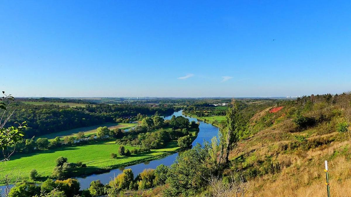
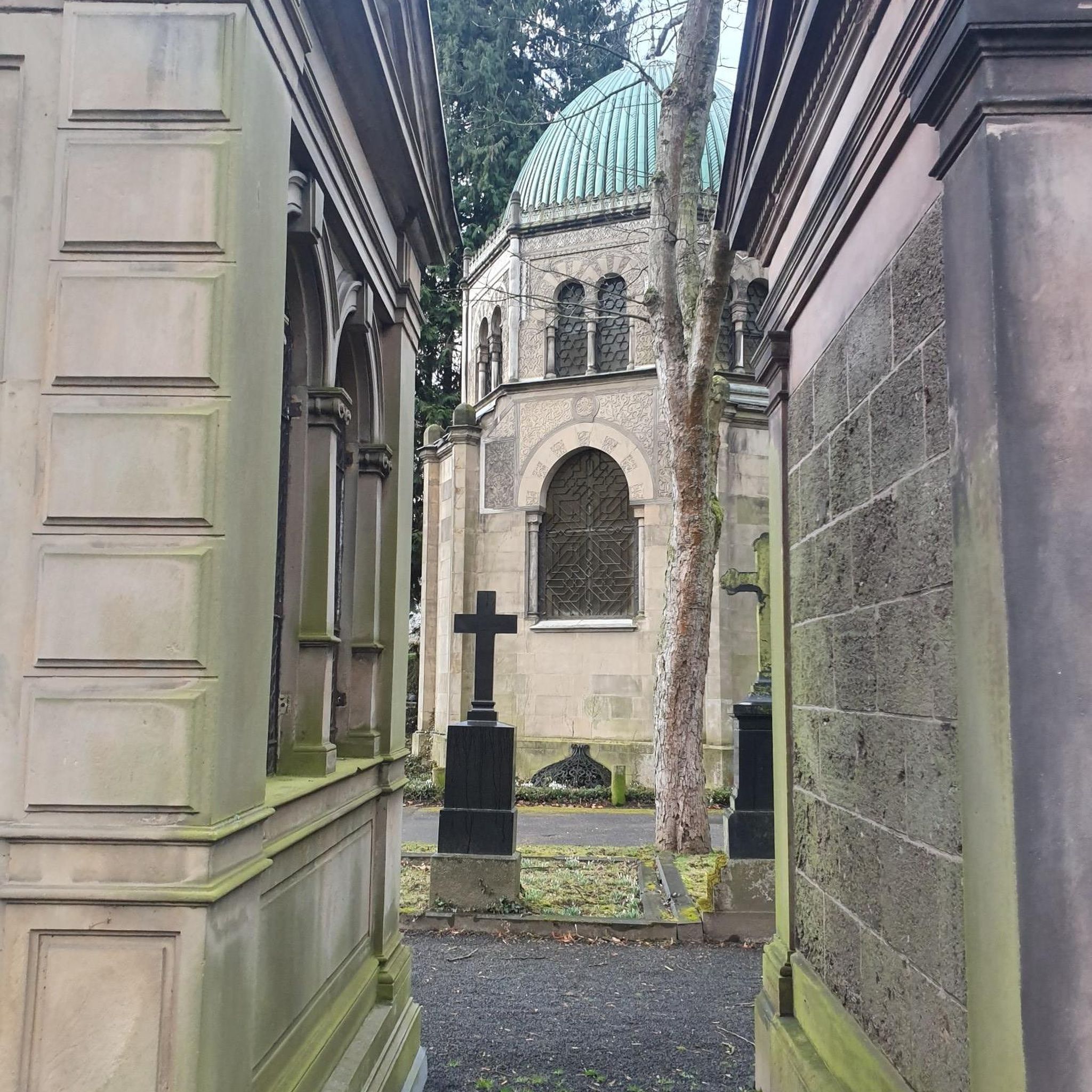
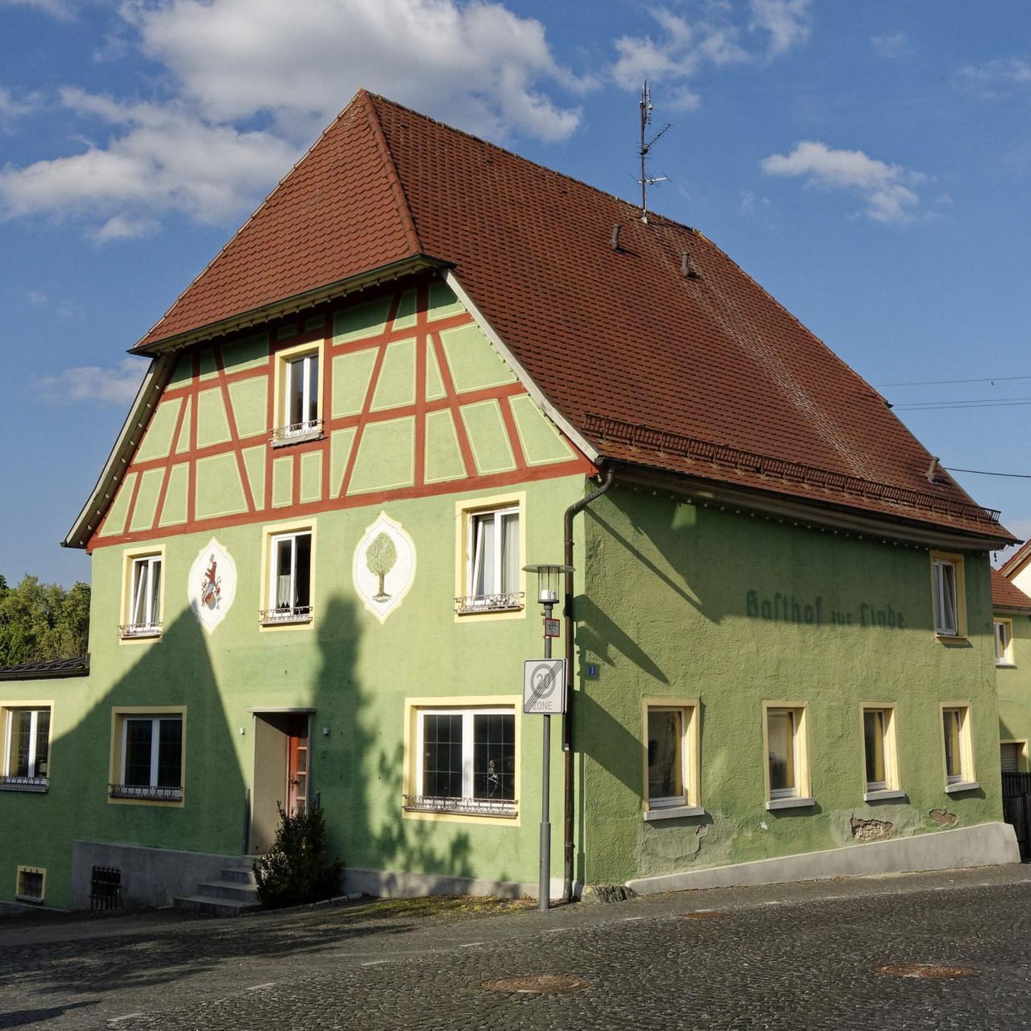
Other adventures in Ohre-Drömling

Tips from the Community

Very elaborate and created with great attention to detail.
0
0

The Drömling, often referred to as the „Land of a Thousand Ditches“, is a fascinating low moor landscape on the border between Saxony-Anhalt and Lower Saxony. Since 2023, the Drömling officially bears the title UNESCO Biosphere Reserve. Previously, it had already been recognized as a national biosphere reserve (according to state law of Saxony-Anhalt) since 2019.
0
0
The Inner German Border Memorial Kaiserwinkel–Jahrstedt is an impressive place of remembrance that documents the former division of Germany between Lower Saxony and Saxony-Anhalt.
0
0
The former inner-German border near Böckwitz (Saxony-Anhalt) and the directly neighboring Zicherie (Lower Saxony) is considered one of the most striking symbols of the German division. Here the border did not run through forests or fields, but through the middle of an established village structure.
0
0

If you have enough time, you can visit the castle as part of a guided tour.
1
0

Hall church from the 18th century with a square west tower with a bent pointed dome
0
0
A medieval fieldstone church with extensive reconstructions from 1711 to 1716. The west transept tower has a gable roof.
0
0
A 15th-century hall church made of sandstone quarry stone. A rectangular west tower
0
0
Frequently Asked Questions
How many no-traffic road cycling routes are available in Ohre-Drömling?
Komoot features 5 no-traffic road cycling routes in Ohre-Drömling. These routes are specifically curated for a peaceful cycling experience away from heavy vehicle traffic.
What kind of terrain can I expect on no-traffic road cycling routes in Ohre-Drömling?
The Ohre-Drömling region is characterized by its flat topography, making it ideal for road cycling. You'll find predominantly well-paved surfaces, winding through expansive meadows, moorlands, and along a dense network of canals. While most routes are smooth, some longer tours might include short unpaved segments, requiring good basic fitness.
Are there any family-friendly no-traffic road cycling routes in Ohre-Drömling?
Yes, the flat terrain and low-traffic nature of the routes make many suitable for families. Routes like the Roadbike loop from Jerchel offer a moderate challenge over a manageable distance, perfect for a family outing. Always check the route details for specific difficulty and distance to ensure it matches your family's capabilities.
What interesting sights or landmarks can I see along these no-traffic routes?
Ohre-Drömling offers several points of interest. You can visit the Observation tower in the Drömling Nature Reserve or the Kaiserwinkel Observation Tower for panoramic views. The Bird Observation Hut at the Shallow Water Zone is excellent for wildlife spotting. Additionally, the Deutsches Eck offers an idyllic resting place at the confluence of the Ohre and Friedrichskanal. You might also pass by historic sites like Schloss Kunrau, which is near the Kunrau Castle – Scenic Side Route loop from Steimke.
What is the best time of year for no-traffic road cycling in Ohre-Drömling?
The best time for road cycling in Ohre-Drömling is generally from spring to autumn. During these seasons, the weather is most favorable, and the natural landscapes, including the expansive meadows and waterways, are at their most vibrant. The flat terrain makes it enjoyable even on cooler days, but always check local weather forecasts before heading out.
Where can I find parking for these no-traffic road cycling routes?
Parking facilities are often available near the starting points of many routes. For example, if you plan to cycle the Renovated Village Main Street – Gehrendorf Church loop from Samtgemeinde Velpke, you can typically find parking within the Samtgemeinde Velpke area. Similarly, routes starting from larger towns or nature reserve information centers usually have designated parking for visitors. It's always recommended to check the specific route details on komoot for parking suggestions.
Is public transport an option to reach the no-traffic road cycling routes in Ohre-Drömling?
Public transport options to Ohre-Drömling exist, though their frequency and bike-carrying capacity can vary. Some regional buses or trains might allow bicycles, especially outside of peak hours. It's advisable to check the local public transport provider's website for current schedules and bike transport regulations before planning your trip.
Are there cafes, pubs, or accommodation options along the no-traffic road cycling routes?
Yes, while cycling through Ohre-Drömling, you'll find various small towns and villages that offer opportunities for refreshments and overnight stays. Many routes pass through or near communities where you can find local cafes, pubs, and guesthouses. For example, the Letzlingen Castle Church loop from Zobbenitz will take you through areas with amenities. It's a good idea to plan your stops in advance, especially in more rural sections.
What makes Ohre-Drömling unique for no-traffic road cycling?
Ohre-Drömling's unique appeal lies in its distinctive lowland landscapes, often called the 'land of a thousand ditches' due to its extensive network of canals and waterways. The region's flat topography and well-maintained paths provide a serene environment for road cyclists seeking routes away from traffic. You'll experience a blend of natural beauty, historical human intervention in the landscape, and diverse wildlife, making for a truly peaceful and engaging ride.
What is the general difficulty level of the no-traffic road cycling routes in Ohre-Drömling?
Most of the no-traffic road cycling routes in Ohre-Drömling are rated as 'moderate' difficulty, with one route classified as 'difficult'. This means they are suitable for cyclists with good basic fitness. The flat terrain generally keeps elevation changes minimal, but the distances can be substantial, requiring endurance. The 'difficult' route, such as the Kunrau Castle – Scenic Side Route loop from Steimke, might involve longer distances or slightly more challenging surfaces.
Are there specific sections that are completely car-free on these routes?
Many of the routes in Ohre-Drömling utilize dedicated cycle paths or quiet country roads with very low traffic volumes, effectively creating a car-free or traffic-calmed experience. The region's focus on nature and its extensive network of paths along canals and through nature reserves mean that large portions of these routes are designed for cyclists and pedestrians, offering a peaceful ride away from vehicular traffic. The Drömling Biosphere Reserve loop from Samtgemeinde Brome, for instance, guides you through the nature reserve on paths optimized for cycling.
What do other road cyclists enjoy most about road cycling in Ohre-Drömling?
The area is highly rated by the komoot community, with an average score of 4.6 stars. Reviewers often praise the peacefulness of the routes, the unique watery landscapes, and the well-maintained paths that allow for a smooth and enjoyable ride away from traffic. The opportunity to observe wildlife and enjoy the serene natural beauty is also frequently highlighted.
Most popular routes in Ohre-Drömling
Most popular attractions in Ohre-Drömling

Get inspired with the komoot mobile app


Explore more
Browse the best Road cycling routes in other regions.
