The best traffic-free bike rides in Ehemaliger Gssd Trübpl
4.3
(6322)
26,434
riders
142
rides
No traffic touring cycling routes in Ehemaliger Gssd Trübpl traverse a landscape shaped by its past as a military training area, allowing nature to thrive undisturbed. This region features diverse habitats including moors, marshes, meadows, and forests, offering a quiet and expansive cultural landscape. The area is recognized as one of Germany's largest open-land areas free from intensive road infrastructure. Touring cyclists can explore designated paths within the Biosphere Reserve Schwäbische Alb, experiencing its unique terrain and natural beauty.
Best…
Last updated: July 9, 2026
4.6
(30)
91
riders
31.2km
01:51
70m
70m
Easy bike ride. Great for any fitness level. Mostly paved surfaces. Suitable for all skill levels.
4.8
(6)
30
riders
16.4km
01:04
40m
40m
Easy bike ride. Great for any fitness level. Mostly paved surfaces. Suitable for all skill levels.

Sign up for free
4.8
(8)
20
riders
Easy bike ride. Great for any fitness level. Mostly paved surfaces. Suitable for all skill levels.
5.0
(4)
33
riders
28.0km
01:41
80m
80m
Easy bike ride. Great for any fitness level. Mostly paved surfaces. Suitable for all skill levels.
4.3
(3)
8
riders
22.1km
01:20
40m
40m
Easy bike ride. Great for any fitness level. Mostly paved surfaces. Suitable for all skill levels.
Get access to more routes and recommendations from other explorers.
Sign up for free
Already have an account?
Our route recommendations are based on thousands of hikes, rides, and runs completed by other people on komoot.
Start today with a free account
Your next adventure awaits.
Login or Signup
Popular around Ehemaliger Gssd Trübpl
Tips from the Community

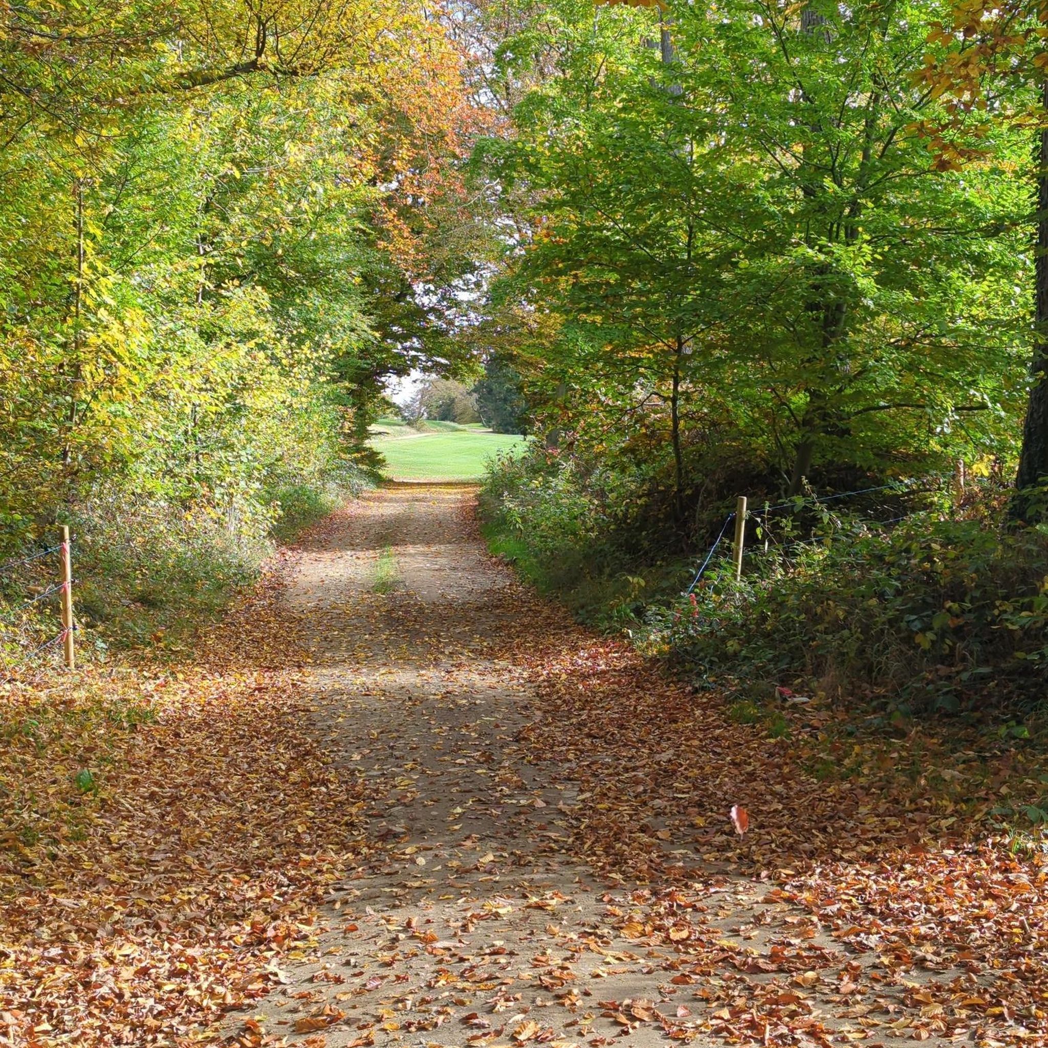
Fast to ride, very beautiful!
0
0

Very idyllic area in the forest...
0
0
A beautiful settlement. It's worth a visit...
0
0

Don't miss the turnoff, really nice over the old lock
0
0
The old bridge was nicer, but here you can also
0
0
Gravel until just before Wusterwitz lock
0
0

The Havel [ˈhaːfl̩] is a river in northeastern Germany and, at 334 kilometers long, the longest right tributary of the Elbe. The direct distance between source and mouth is only 94 kilometers. The Havel rises near Ankershagen in Mecklenburg-Western Pomerania, flows through Brandenburg, Berlin, and Saxony-Anhalt, and empties into the Elbe near Gnevsdorf on the border between Brandenburg and Saxony-Anhalt. 285 kilometers of river run through Brandenburg. It initially flows through numerous small lakes in a southeasterly direction, then in a southerly, westerly, and finally northwesterly direction. The difference in altitude is only 40.6 meters.
1
0
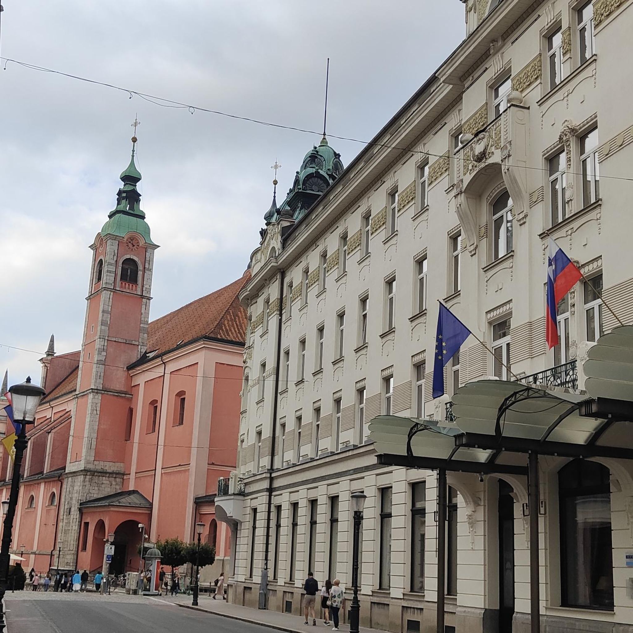
There are only a few bridges left from the pre-World War I period. Its Art Nouveau design makes it an important architectural monument.
1
0
Frequently Asked Questions
How many no-traffic touring cycling routes are available in Ehemaliger Gssd Trübpl?
There are over 130 no-traffic touring cycling routes available in the Ehemaliger Gssd Trübpl region. These routes offer a unique opportunity to explore the area's distinctive landscapes, which were largely preserved from intensive development due to their past use as a military training ground.
Are the former GSSD military training areas safe for public access and cycling?
Yes, the former military training area of the GSSD near Münsingen is now open to the public for outdoor pursuits, including cycling. The area has been rewilded and offers designated paths for exploration. It's recognized as one of Germany's largest open-land areas undisturbed by roads, making it ideal for no-traffic cycling.
What kind of landscapes can I expect to see on these no-traffic cycling routes?
The routes traverse a landscape rich in nature, featuring diverse habitats such as moors, marshes, meadows, and forests. The Münsingen site, in particular, boasts a distinctive 'park-like pasture landscape' historically maintained by sheep grazing, offering a sense of quiet and expansive cultural scenery.
Are there family-friendly or easy no-traffic cycling routes available?
Absolutely. The region offers a wide selection of routes suitable for various skill levels. There are 97 easy routes, perfect for families or those seeking a relaxed ride. An example of an easy route is the View of Plauer Lake – View of the Havel near Plaue loop from Plaue, which covers 16.7 km with minimal elevation changes.
What is the best time of year to go touring cycling in Ehemaliger Gssd Trübpl?
The region is beautiful throughout the warmer months. Spring brings blooming meadows, while summer offers lush greenery. Autumn is particularly scenic, with vibrant foliage transforming the 'park-like pasture landscape' into a tapestry of colors, making it an excellent time for touring cycling.
Are there any circular no-traffic cycling routes?
Many of the no-traffic routes in Ehemaliger Gssd Trübpl are designed as circular tours, allowing you to start and end at the same point without retracing your steps. This provides a varied experience of the unique terrain and natural beauty. For instance, the Elbe-Havel Canal – View of the Elbe-Havel Canal loop from Plaue is a circular route covering over 31 km.
How can I access the no-traffic cycling routes using public transport?
Public transport options are available to reach the area. The 'Biosphärenbus' serves the region, connecting to key points such as 'albgut' in Münsingen and Trailfingen. This allows cyclists to access various starting points for their no-traffic tours without needing a car.
Where can I park my car when visiting the no-traffic touring bike trails?
Given the area's focus on public access, designated parking areas are available at common entry points to the former military training ground, particularly near towns like Münsingen and other access points for the Biosphere Reserve. It's advisable to check local information for specific parking locations before your visit.
What do other touring cyclists enjoy most about cycling in Ehemaliger Gssd Trübpl?
The area is highly rated by the komoot community, with an average score of 4.3 stars from over 6,000 ratings. Reviewers often praise the tranquility of the routes, the unique natural landscapes, and the opportunity to cycle without traffic, highlighting the sense of peace and immersion in nature.
Are there any moderate or challenging no-traffic routes for experienced cyclists?
Yes, for more experienced touring cyclists, there are 19 moderate and 20 difficult no-traffic routes available. These routes often feature longer distances or more varied terrain, providing a greater challenge while still enjoying the traffic-free environment. An example of a moderate route is the Beach at Lake Wusterwitz – View of the Elbe-Havel Canal loop from Plaue, which is over 33 km long.
Can I find amenities like cafes or pubs near the no-traffic cycling routes?
While the core of the former military training area is largely natural and undeveloped, surrounding towns and villages, such as Münsingen, offer various amenities including cafes, pubs, and restaurants. It's a good idea to plan your route to pass through or near these settlements for refreshment stops.
Most popular routes in Ehemaliger Gssd Trübpl

Get inspired with the komoot mobile app


Explore more
Browse the best Cycling routes in other regions.
