The best traffic-free bike rides in Bribie Island National Park
4.1
(15)
977
riders
5
rides
Road cycling in Bribie Island National Park offers a variety of no traffic road cycling routes across diverse coastal landscapes. The region features flat, accessible paths along the seafront and dedicated cycle networks. Cyclists can experience views of the Pumicestone Passage and coastal areas, with routes suitable for different skill levels. The terrain primarily consists of low elevation paths, making it ideal for road cycling.
Best no traffic road cycling routes in Bribie Island National Park
- The most popular no…
Last updated: July 8, 2026
4.0
(1)
59
riders
29.2km
01:27
80m
80m
Easy road ride. Great for any fitness level. Mostly well-paved surfaces and easy to ride.
16
riders
46.7km
02:11
170m
170m
Moderate road ride. Good fitness required. Mostly well-paved surfaces and easy to ride.

Sign up for free
4.0
(1)
16
riders
29.6km
01:34
120m
120m
Easy road ride. Great for any fitness level. Mostly well-paved surfaces and easy to ride.
4.0
(2)
6
riders
14.2km
00:44
100m
100m
Easy road ride. Great for any fitness level. Mostly well-paved surfaces and easy to ride.
25
riders
20.2km
01:00
30m
30m
Easy road ride. Great for any fitness level. Mostly well-paved surfaces and easy to ride.
Our route recommendations are based on thousands of hikes, rides, and runs completed by other people on komoot.
Start today with a free account
Your next adventure awaits.
Login or Signup
Popular around Bribie Island National Park
Tips from the Community

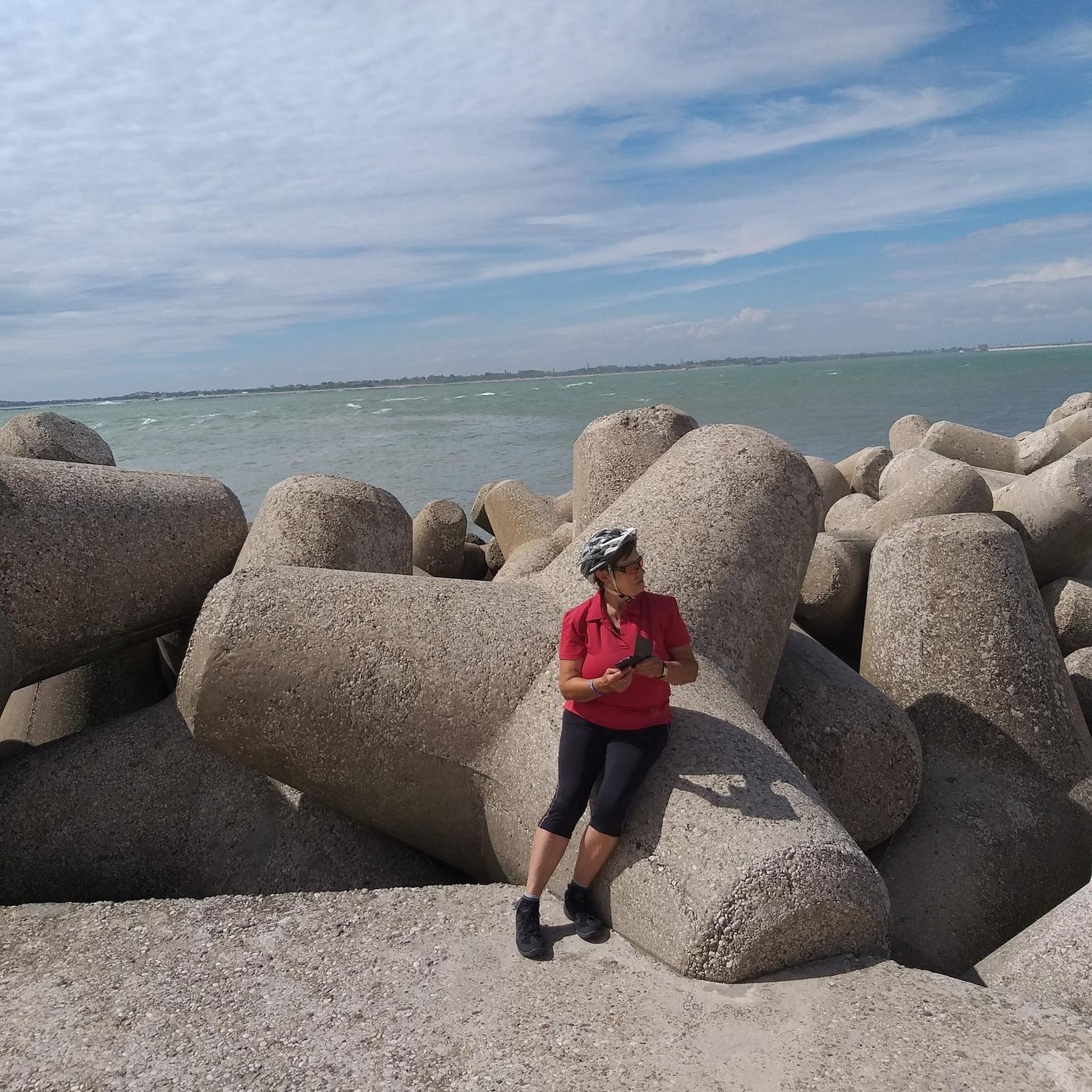
The Rock Wall at Point Cartwright is a breakwater that juts out into Mooloolah River where it meets the ocean. When the surf is big it can crash and spray onlookers, but when the surf is down there are tide pools at the base of the rock wall teeming with life. This rock wall is a great area to also catch a glimpse of humpback whales, migrating between June and November.
0
0
Point Cartwright Lighthouse stands 32 meters tall and safeguards Moreton Bay, the Port of Brisbane, and Mooloolaba Harbour. It's an active lighthouse, and it is free to visit the outside of the lighthouse and surrounding park year round. The inside of the lighthouse is closed to the public. Instead of a typical cylinder, the lighthouse was built in a pentagonal (five sides) shape, and the beam can reach 23 nautical miles.
0
0

The Sunshine Coast Coastal Pathway is a 73-kilometre shared pathway stretching from Bells Creek in the south to Coolum in the north, and links beaches, parks, and foreshore reserves along the coastline. Divided into nine sections known as “connections,” it allows walkers, runners, and cyclists to explore the coast using a mix of on and off-road paths, whether for a short seaside stroll or a longer journey. The Mooloolaba Connection follows the coastline between Mooloolaba and Buddina, passing beaches, river views, parks, and the harbour entrance near Point Cartwright, connecting some of the Sunshine Coast’s most popular waterfront areas.
0
0
Point Cartwright is a rocky headland at the mouth of the Mooloolah River, and home to one of Australia’s oldest working lighthouses, with beautiful, sweeping coastal views. From the headland, you can look north to Mooloolaba, south along Kawana Beach, and east across the ocean, with migrating humpback whales sometimes spotted offshore during winter. Coastal heath, rocky outcrops, and open grassy areas surround the reserve, which has remained a popular public recreation area since the 1930s.
0
0
Keith Hill Park is a long waterfront park that stretches for around 1.5 kilometres along the southern end of Golden Beach, following the edge of the Pumicestone Passage. There are open lawns, picnic areas, playgrounds, and a shared pathway, making it a popular place for walking, cycling, and spending time by the water. At the southern end, the park reaches the mouth of Bells Creek, with a boat ramp and calm waters popular for boating, paddling, and fishing.
0
0
Tripcony Park is a small waterfront park nestled along the Pumicestone Passage with open views across the water toward Bribie Island. The park sits near what was once an important arrival point for early visitors to Caloundra, when passengers and supplies reached the town by boat before road access improved. Today, there are open lawns with plenty of shade, and several picnic areas, and its position on the coastal pathway makes it a lovely place to stop and watch boats move through the channel.
0
0
Caloundra Coastal Walk is a picturesque coastal trail that runs roughly 25 kilometres connecting beaches, headlands, and waterfront parklands along the shoreline. The sealed pathway follows the coastline past well known recreation areas including several parks, Kings Beach and Bulcock Beach, with endless beautiful ocean and passage views. It's relatively flat and well-maintained, making it an easy and popular route for walking, cycling, and running.
0
0
Bulcock Beach is a sheltered beach in Caloundra on the western side of the headland overlooking the Pumicestone Passage. Its calm waters are protected from ocean swell, making it an ideal spot for swimming, paddling, and family use. The beach sits alongside a lively foreshore with a boardwalk, picnic areas, and nearby cafés, making it an easy, accessible spot for relaxed seaside recreation.
0
0
Frequently Asked Questions
How many traffic-free road cycling routes are available in Bribie Island National Park?
There are several dedicated traffic-free road cycling routes within and around Bribie Island National Park. Our guide features 7 routes, ranging from easy to moderate, perfect for exploring the area by bike.
What types of surfaces can I expect on the no-traffic road cycling routes?
The routes primarily feature well-paved surfaces, ideal for road cycling. You'll find dedicated cycle networks, especially along the seafront at Bongaree and connecting to Woorim Beach, ensuring a smooth ride.
Are there any easy or family-friendly no-traffic road cycling routes?
Yes, Bribie Island offers many easy and family-friendly options. The flat paths along the seafront at Bongaree are particularly suitable for leisurely rides. Our guide includes 5 easy routes, such as the Caloundra Point Lookout – Dicky Beach loop from Caloundra, which is just over 14 km.
What are some scenic viewpoints or attractions along the cycling routes?
Many routes offer stunning views of the Pumicestone Passage. You can also cycle past Woorim Beach, explore the parklands at Bongaree, or look for wildlife in Bribie Island National Park. Historical sites like the Bribie Island Fort and the Bribie Island Seaside Museum are also accessible.
What do other cyclists enjoy most about road cycling in Bribie Island National Park?
The komoot community highly rates the cycling experience in Bribie Island National Park, with an average score of 4.2 stars. Reviewers often praise the scenic coastal paths, the tranquility of the traffic-free sections, and the diverse natural beauty, from calm waters to national park bushland.
Are there any longer or more challenging no-traffic road cycling routes?
While many routes are easy, there are options for longer rides. For example, the Currimundi – Dicky Beach loop from Golden Beach is a moderate 46.8 km route. Some Dux Creek loops within Bribie Island State Forest also offer moderate challenges up to 46.6 km.
Can I find cafes or places to stop for refreshments along the routes?
Absolutely. The Bongaree area, in particular, is well-equipped with cafes and restaurants, making it a great spot for a break. Woorim Beach also has a vibrant atmosphere with amenities. These areas are often directly accessible from the cycling paths.
What is the typical duration for a no-traffic road cycling route in the area?
Route durations vary depending on distance and your pace. Shorter, easy routes like the Caloundra Point Lookout – Dicky Beach loop from Caloundra can take around 45 minutes, while longer moderate routes, such as the Currimundi – Dicky Beach loop from Golden Beach, might take over 2 hours.
Is parking available near the no-traffic road cycling trailheads?
Yes, parking is generally available at various points around Bribie Island, especially in popular areas like Bongaree and Woorim, which serve as excellent starting points for many cycling routes. Look for designated parking areas near the main coastal paths.
Are dogs allowed on the cycling paths in Bribie Island National Park?
While Bribie Island National Park has specific rules regarding pets, many public cycling paths outside the strict national park boundaries, especially along the foreshore and residential networks, are often dog-friendly. Always check local signage for specific regulations in different areas.
Are there any circular no-traffic road cycling routes?
Yes, many of the routes are designed as loops, allowing you to start and finish at the same point. Examples include the Moffat Beach – Buddina Bushland Reserve loop from Caloundra and the Waterfront View in Australia loop from Caloundra, providing convenient cycling experiences.
Most popular routes in Bribie Island National Park

Get inspired with the komoot mobile app


Explore more
Browse the best Road cycling routes in other regions.
