The best walks and hikes around Lindenkreuz
4.6
(4513)
13,867
hikers
833
hikes
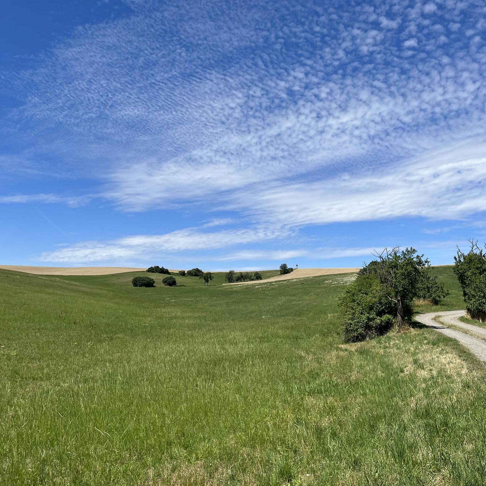
Hiking around Lindenkreuz, a municipality in Thuringia, Germany, offers access to diverse natural landscapes. Situated at an elevation of approximately 980 feet (300 meters), the region is characterized by rolling hills, forests, and valleys. This area provides a scenic backdrop for outdoor pursuits, with a network of trails suitable for various fitness levels.
Best hiking trails around Lindenkreuz
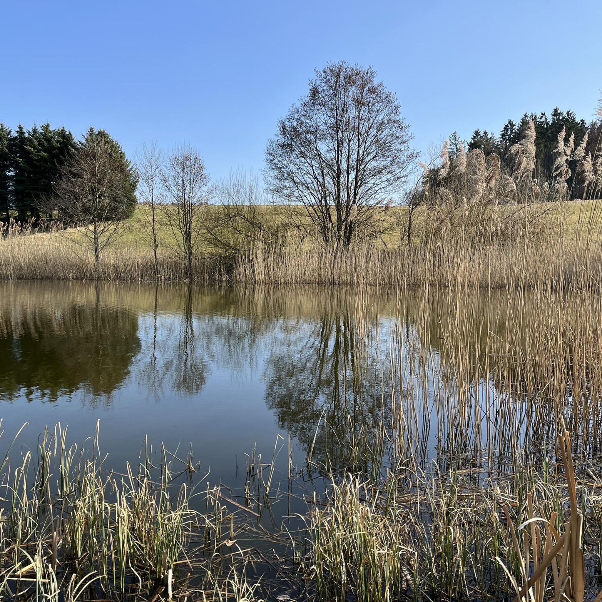
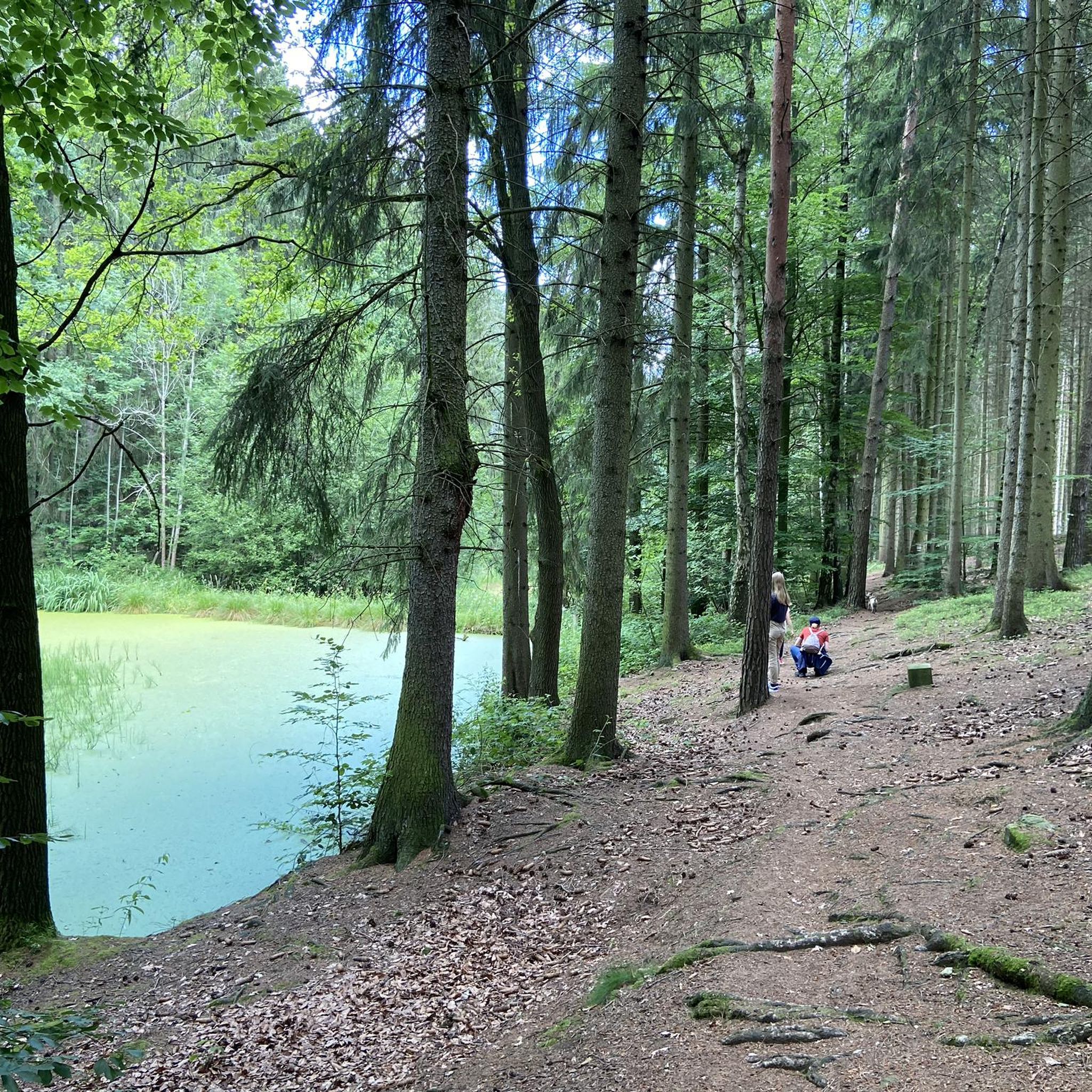
- The most popular hiking route is St. Peter and Paul Church – Tessegrund Pond loop from Sankt Gangloff, a 5.3 miles…
Last updated: October 13, 2026
4.7
(12)
35
hikers
8.49km
02:17
110m
110m
Moderate hike. Good fitness required. Easily-accessible paths. Suitable for all skill levels.
5.0
(3)
11
hikers
9.90km
02:40
120m
120m
Moderate hike. Good fitness required. Easily-accessible paths. Suitable for all skill levels.

5.0
(7)
9
hikers
Easy hike. Great for any fitness level. Easily-accessible paths. Suitable for all skill levels.
5.0
(6)
10
hikers
Easy hike. Great for any fitness level. Easily-accessible paths. Suitable for all skill levels.
5.0
(1)
3
hikers
4.77km
01:16
40m
40m
Easy hike. Great for any fitness level. Easily-accessible paths. Suitable for all skill levels.
Get access to more routes and recommendations from other explorers.
Already have an account?
Our route recommendations are based on thousands of hikes, rides, and runs completed by other people on komoot.
Start today with a free account
Your next adventure awaits.

Tips from the Community

It is unknown when the first church was built in the village of Lindenkreuz, first mentioned in 1483. The current building dates primarily from the 18th century.
13
0

A trip is definitely worth it.
3
0

The church, built in 1844, is the second youngest in the parish,
1
0
Beautiful hiking trail between St. Gangloff and the Käseberg.
5
0

Kraftsdorf is a beautiful place with many lovingly maintained half-timbered houses.
1
0
In Altenburg dialect, the word "Mutz" refers to an animal without a tail, here the pig. Especially in the Holzland, the "Mutz" is jokingly mentioned as the supplier of the meat for the Mutzbraten, an "egg-laying wool milk pig, which is similar in nature to the Bavarian Wolperdingers".
9
0

Very nicely restored church with benches in 3 floors
1
0
Frequently Asked Questions
How many hiking trails are available around Lindenkreuz?
Lindenkreuz offers a wide variety of hiking opportunities, with over 850 routes available. These trails cater to different preferences, ranging from easy strolls to more challenging moderate hikes.
What kind of terrain can I expect on hikes near Lindenkreuz?
The region around Lindenkreuz is characterized by diverse natural scenery, including rolling hills, dense forests, and scenic valleys. You'll find paths that lead through woodlands, past ponds, and along stream courses, providing a varied backdrop for your outdoor adventures.
Are there easy hiking options suitable for beginners or casual walkers?
Yes, Lindenkreuz is very accessible for all fitness levels. More than 500 of the available routes are classified as easy. An example of a pleasant, easy hike is the Forellenhof Schmeißermühle – New Stream Course St. Gangloff loop from Lindenkreuz, which is about 3.7 miles (6.0 km) long and takes around 1 hour 35 minutes.
Are there any circular hiking routes around Lindenkreuz?
Many of the trails around Lindenkreuz are designed as loops, allowing you to start and end at the same point. For instance, the St. Peter and Paul Church – Tessegrund Pond loop from Sankt Gangloff is a popular moderate circular route covering 5.3 miles (8.5 km).
What are some natural attractions or landmarks I can see while hiking?
While hiking around Lindenkreuz, you can discover several natural features. The area is close to the Geraer Stadtwald and Zeitzgrund, known for their natural beauty. You might also encounter highlights such as the Hubertus Spring or the Falcon Pond. For those interested in waterfalls, the Gera waterfall is also nearby.
Is Lindenkreuz a good destination for family-friendly hikes?
Yes, the region offers many routes suitable for families. With over 500 easy trails, you can find paths with minimal elevation gain and shorter distances, perfect for children. The diverse natural scenery also provides an engaging environment for younger hikers.
Can I bring my dog on the hiking trails in Lindenkreuz?
Many trails in the Lindenkreuz area are dog-friendly, allowing you to enjoy the outdoors with your canine companion. It's always recommended to keep your dog on a leash, especially in nature reserves or near wildlife, and to respect local regulations regarding pets.
What do other hikers enjoy most about hiking in Lindenkreuz?
The hiking trails around Lindenkreuz are highly rated by the komoot community, with an average score of 4.6 stars from over 3,700 reviews. Hikers often praise the well-maintained paths, the peaceful forest environments, and the variety of routes that cater to different skill levels.
Are there any moderate difficulty hikes for more experienced hikers?
Yes, for those seeking a bit more challenge, there are 326 moderate routes available. A good option is the Tessegrund Pond – Tesse Valley loop from Sankt Gangloff, which is 6.2 miles (9.9 km) long and typically takes about 2 hours 40 minutes to complete, leading through varied terrain.
What is the best time of year to go hiking in Lindenkreuz?
Lindenkreuz offers hiking opportunities throughout the year. Spring and autumn provide pleasant temperatures and beautiful scenery with blooming flowers or colorful foliage. Summer is ideal for longer days, while winter can offer serene, snow-covered landscapes, though some trails might require appropriate gear.
Are there places to eat or stay near the hiking trails?
While Lindenkreuz is a smaller municipality, its proximity to towns like Gera means you can find various amenities. The region research mentions places like 'Forellenhof Schmeißermühle', which suggests local eateries. For accommodation, you would typically look in nearby larger towns.
Is there parking or public transport access to the hiking areas?
Information regarding specific parking facilities or public transport stops directly at trailheads is best checked locally. However, as a municipality in Thuringia, Lindenkreuz is generally accessible, and many hiking areas in Germany offer designated parking for hikers. For detailed public transport information, local transport authority websites would be the best resource.
Most popular routes around Lindenkreuz
Most popular attractions around Lindenkreuz

Get inspired with the komoot mobile app


Explore more
Browse the best Hikes in other regions.
