The best hikes from bus stations around Aberwheeler
4.5
(603)
3,828
hikers
5
hikes
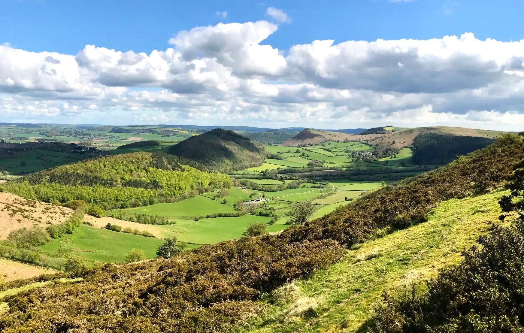
Bus station hiking trails around Aberwheeler offer access to the varied landscapes of the Clwydian Range and Dee Valley Area of Outstanding Natural Beauty. The region is characterized by rolling hills, lush valleys, and open countryside, featuring prominent ancient hillforts and summits. Hikers can expect panoramic ridge walks and ascents to viewpoints over the Vale of Clwyd. The area provides a network of well-regarded footpaths through diverse terrain, including sections of the historic Offa's Dyke Path.
Best bus station hiking…
Last updated: July 7, 2026
5.0
(3)
41
hikers
26.4km
08:42
1,220m
1,220m
Hard hike. Very good fitness required. Easily-accessible paths. Suitable for all skill levels.
21
hikers
14.8km
04:28
480m
480m
Moderate hike. Good fitness required. Easily-accessible paths. Suitable for all skill levels.

Sign up for free
5.0
(2)
13
hikers
Moderate hike. Good fitness required. Easily-accessible paths. Suitable for all skill levels.
11
hikers
17.2km
05:41
810m
810m
Hard hike. Very good fitness required. Easily-accessible paths. Suitable for all skill levels.
5.0
(1)
10
hikers
Moderate hike. Good fitness required. Easily-accessible paths. Suitable for all skill levels.
Our route recommendations are based on thousands of hikes, rides, and runs completed by other people on komoot.
Start today with a free account
Your next adventure awaits.
Login or Signup
Popular around Aberwheeler
Other adventures around Aberwheeler

Tips from the Community

This beautiful place is perfect for an afternoon out.(mind the sun though) Views of Welsh farmland are all around including some enchanting woodlands! My dog loves it up here, not many people so nice and calm.
0
0
Absolutely gorgeous views surround you at the summit, perfect place for a cuppa! Dogs love it too!
0
0

handy car park for the climb up moel Arthur and to walk a piece of the offas dyke path
1
0

Smiley Trig Point to finish the climb to Moel Famau
0
0

Like all hills the weather can turn in an instant take sturdy foot wear and a waterproof jacket :)
1
0

Fabulous hike if you like a challenge, adventure and livestock. Some of the footpaths and styles are overgrown and need repairing, but they are there. This hike is only a loop from Cilcain, I’m afraid I left the navigation on in the car afterwards.🤦♂️
0
0

A really interesting monument and not at all how you think it will be when you see it from a distance
1
0

Frequently Asked Questions
How many bus station hiking trails are available around Aberwheeler?
There are 5 dedicated hiking routes around Aberwheeler that start directly from bus stations, making it easy to explore the stunning Clwydian Range and Dee Valley AONB without a car.
Are there any easy bus station hikes suitable for beginners or families?
While all routes from Aberwheeler bus stations are rated moderate to difficult, the 9.8 km Penycloddiau Summit – Cairn on Clwydian Range Summit loop is the shortest moderate option. It offers a taste of the region's beauty, including views from Penycloddiau Summit, without the extreme distances of other trails. For families with older children or beginners looking for a challenge, this could be a good starting point.
What kind of landscapes can I expect on these bus station hikes?
The bus station hikes around Aberwheeler traverse diverse landscapes within the Clwydian Range and Dee Valley AONB. You'll experience rolling hills, lush valleys, and open countryside, with many routes featuring panoramic ridge walks and ascents to ancient hillforts. Expect a mix of well-regarded footpaths and varied terrain, offering breathtaking viewpoints over the Vale of Clwyd.
Are there any circular routes starting from Aberwheeler bus stations?
Yes, all 5 of the bus station hikes around Aberwheeler are circular routes. This means you'll always finish your adventure back where you started, making public transport connections seamless. Examples include the challenging 26.3 km Moel Arthur – Jubilee Tower on Moel Famau loop or the moderate 14.8 km Moel y Gaer Hillfort – Cefn Du loop.
What historical sites or landmarks can I see on these trails?
Many of the bus station hikes incorporate significant historical sites. You can ascend to ancient hillforts like Moel Arthur and Penycloddiau Summit. The longest route, the Moel Arthur – Jubilee Tower on Moel Famau loop, also takes you to the Jubilee Tower on Moel Famau, a Grade II-listed monument on the highest hill in the Clwydian Range.
Are there any viewpoints or scenic spots along the bus station routes?
Absolutely. The region is known for its panoramic views. Routes often lead to prominent summits such as Penycloddiau Summit and Moel Arthur, offering breathtaking vistas over the Vale of Clwyd, Snowdonia, and even the English border. The Jubilee Tower on Moel Famau also provides spectacular 360-degree views.
What do other hikers say about the bus station trails in Aberwheeler?
The hiking experiences around Aberwheeler are highly rated by the komoot community, with an average score of 4.5 stars from over 500 ratings. Hikers frequently praise the stunning panoramic views from the hillforts and summits, the well-maintained footpaths, and the sense of achievement after tackling the challenging ascents within the Clwydian Range.
Can I access sections of Offa's Dyke Path from Aberwheeler bus stations?
Yes, Aberwheeler provides access to sections of the historic Offa's Dyke Path. While not all bus station routes directly follow it, the region's trail network connects to this renowned long-distance trail, allowing for exploration of its moderate to challenging sections, such as those leading towards Moel Famau.
Are there any waterfalls near the bus station hiking trails?
While the immediate bus station trails focus on hillforts and summits, the wider region around Aberwheeler does feature natural attractions. Dyserth Waterfall is a notable natural monument in the vicinity, though it may require a separate trip or a longer, more extensive hike to reach from the bus station starting points.
What is the longest bus station hike available?
The longest bus station hike is the 26.3 km Moel Arthur – Jubilee Tower on Moel Famau loop from Aberwheeler. This difficult route offers significant elevation gain and takes you to two of the region's most iconic landmarks, Moel Arthur and the Jubilee Tower on Moel Famau.
What is the shortest bus station hike available?
The shortest bus station hike is the 9.8 km Penycloddiau Summit – Cairn on Clwydian Range Summit loop from Aberwheeler. This moderate route still offers rewarding views and a good workout, making it a great option for those looking for a shorter, yet scenic, car-free adventure.
Most popular attractions around Aberwheeler

Get inspired with the komoot mobile app


Explore more
Browse the best Hikes in other regions.
