The best hikes from bus stations around Blyth
4.5
(782)
9,847
hikers
15
hikes
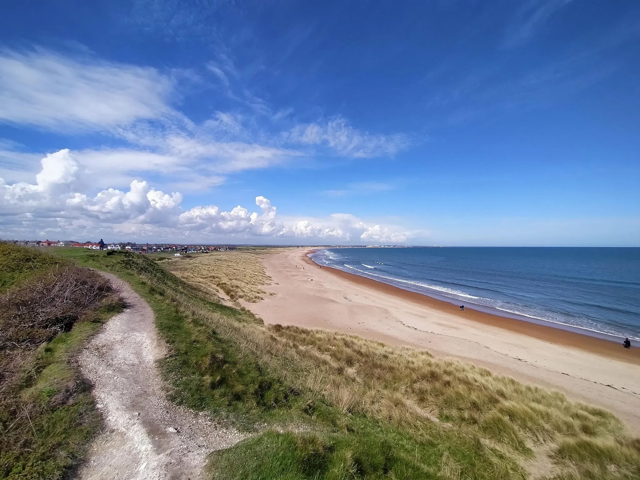
Bus station hiking trails around Blyth offer access to diverse landscapes, including expansive coastal paths, significant sand dunes, and nature reserves. The region is characterized by its North Sea coastline, featuring long sandy beaches and the mouth of the River Blyth. Inland, areas like Queen Elizabeth II Country Park provide varied terrain for exploration. These features combine to create a range of walking experiences accessible directly from public transport stops.
Best bus station hiking trails around Blyth
- The most popular…
Last updated: October 10, 2026
22
hikers
6.65km
01:41
10m
10m
Easy hike. Great for any fitness level. Easily-accessible paths. Suitable for all skill levels.
22
hikers
6.13km
01:33
10m
10m
Easy hike. Great for any fitness level. Easily-accessible paths. Suitable for all skill levels.

57
hikers
4.77km
01:13
10m
10m
Easy hike. Great for any fitness level. Easily-accessible paths. Suitable for all skill levels.
5.0
(1)
16
hikers
10.2km
02:35
20m
20m
Moderate hike. Good fitness required. Easily-accessible paths. Suitable for all skill levels.
14
hikers
9.77km
02:29
30m
30m
Moderate hike. Good fitness required. Easily-accessible paths. Suitable for all skill levels.
Get access to more routes and recommendations from other explorers.
Already have an account?
Our route recommendations are based on thousands of hikes, rides, and runs completed by other people on komoot.
Start today with a free account
Your next adventure awaits.


Tips from the Community


you are past it so quickly and then you have missed the sign
0
0
you can take shelter here from the sun or the rain
0
0

Smooth path, undulating, but popular with pedestrians/dogs/joggers so be ready to slow/ringbell etc
0
0
Blyth Bandstand dates from c.1929.[1] It is situated by the South Beach promenade, in Beach Gardens, which were laid out by 1950. The bandstand is considered an iconic landmark and regularly plays host to live music.
4
0

Frequently Asked Questions
How many bus-accessible hiking trails are there around Blyth?
There are 16 hiking trails around Blyth that are easily accessible from bus stations. These routes offer a convenient way to explore the area without needing a car.
What kind of terrain can I expect on bus station hikes in Blyth?
The bus-accessible hikes in Blyth primarily feature coastal terrain, including expansive sandy beaches and significant sand dunes. Many routes are relatively flat, with minimal elevation gain, making them suitable for a relaxed walk. You'll find paths along the coastline and through nature reserves.
Are there easy or beginner-friendly hikes accessible from Blyth bus stations?
Yes, many of the bus-accessible trails in Blyth are considered easy, with 9 out of 16 routes falling into this category. An excellent option for an easy coastal stroll is the Blyth South Beach – Beach Huts at Blyth loop from Blyth, which offers pleasant views of the beach and its iconic huts.
Are there circular routes available from Blyth bus stations?
Yes, many of the trails accessible from Blyth bus stations are circular routes, allowing you to start and end at the same point. For example, the Beach Huts at Blyth – Blyth South Beach loop from Blyth is a popular circular option that takes you along the coast.
What natural features or landmarks can I see on these bus-accessible trails?
Along these trails, you can discover a variety of natural features and landmarks. Coastal walks often feature the expansive South Beach, sand dunes, and views of the River Blyth mouth. Inland, you might encounter areas like Queen Elizabeth II Country Park. Notable highlights include Seaton Sluice Harbour and Queen Elizabeth II Country Park Lake.
Are these trails suitable for families with children?
Many of the bus-accessible trails in Blyth are well-suited for families, particularly the easy coastal walks with their flat terrain and scenic views. The beaches provide ample space for children to play, and the shorter loop options are manageable for younger hikers. Consider the Ciccarelli Fish and Chips – Blyth Battery loop from Blyth for a relatively short and engaging walk.
Can I bring my dog on these hikes?
Yes, many of the coastal paths and nature trails around Blyth are dog-friendly, though it's always advisable to keep dogs on a lead, especially in nature reserves or areas with livestock. Be mindful of local signage regarding dog access, particularly on beaches during certain times of the year.
What are some popular coastal walks starting from a bus station?
Blyth's coastline offers several popular walks directly accessible by bus. The Blyth South Beach – Beach Huts at Blyth loop from Newsham is a great option, allowing you to experience the vast sandy beach and the charming beach huts. Another popular choice is the walk that includes the historic Blyth Battery.
Are there any historical points of interest along the bus station trails?
Yes, you can encounter historical points of interest, particularly along the coastal routes. The Blyth Battery, consisting of World War defense buildings, is a notable historical site that can be included in walks like the Ciccarelli Fish and Chips – Blyth Battery loop from Blyth.
What is the best time of year to hike these bus-accessible trails in Blyth?
The coastal trails around Blyth are enjoyable year-round. Spring and summer offer pleasant weather for beach walks and exploring nature reserves. Autumn provides beautiful coastal scenery, while winter walks can be invigorating, especially on crisp, clear days. Always check the local weather forecast before heading out, as coastal conditions can change rapidly.
Are there places to eat or drink near the bus station hiking trails?
Yes, as Blyth is a coastal town, you'll find various cafes, pubs, and eateries, particularly near the town center and along the seafront. Many of these are conveniently located near bus stops or at the start/end points of popular trails, offering a chance to refuel after your hike.
What do other hikers enjoy the most about hiking in Blyth?
The area is highly rated by the komoot community, with an average score of 4.5 stars. Reviewers often praise the accessibility of the trails from public transport, the beautiful coastal scenery, and the ease of walking on the well-maintained paths and beaches. The variety of easy and moderate routes also makes it appealing to a wide range of hikers.
Can I find longer, more challenging routes accessible by bus?
While many routes are easy, there are moderate options available for those seeking a bit more distance. For example, the Janus Sculpture by Peter Burke – Outdoor Fitness Area loop from Blyth is a moderate route that covers a longer distance, offering a more extended exploration of the area's coastal and parkland features.
Most popular attractions around Blyth

Get inspired with the komoot mobile app


Explore more
Browse the best Hikes in other regions.
