The best traffic-free bike rides around Thornton-Le-Dale
4.8
(31)
930
riders
7
rides
Road cycling around Thornton-Le-Dale offers diverse terrain situated on the southern edge of the North York Moors National Park. The region features a mix of quiet country lanes, forested areas like Dalby Forest, and scenic valleys and dales. Cyclists can find routes ranging from relatively flat, low-level valley bottom rides to more demanding ascents through the moors and forests. The landscape provides varied elevation profiles suitable for different road cycling preferences.
Best no traffic road cycling routes around Thornton-Le-Dale
- The most popular no traffic road cycling route is Pickering Castle – Hutton-le-Hole village loop from Thornton-le-Dale, a 28.6 miles (46.0 km) trail that takes 2 hours 11 minutes to complete. This route features varied terrain with an elevation gain of over 440 meters.
- Another top favourite among local road cyclists is Beck Isle Cottage – Thornton-le-Dale village loop from Thornton-le-Dale, an easy 16.2 miles (26.1 km) path. This route offers a gentler ride through the village surroundings with minimal elevation changes.
- Local road cyclists also love the Dalby Bike Barn – Dalby Forest Visitor Centre loop from Sieve Dale Fen, a 10.1 miles (16.3 km) trail leading through Dalby Forest, often completed in about 1 hour 2 minutes.
- Road cycling around Thornton-Le-Dale is defined by its access to the North York Moors National Park, the extensive Dalby Forest, and picturesque country lanes. The network offers options for both easy, scenic rides and more challenging routes with significant elevation.
- The routes in Thornton-Le-Dale are highly rated by the komoot community with an average score of 4.8 stars from more than 20 reviews. More than 1000 road cyclists have used komoot to explore Thornton-Le-Dale's varied terrain.
Last updated: October 24, 2026
4.3
(3)
73
riders
46.0km
02:11
440m
440m
Moderate road ride. Good fitness required. Some segments of this route may be unpaved and difficult to ride.
5.0
(1)
23
riders
31.0km
01:38
150m
150m
Moderate road ride. Great for any fitness level. Some segments of this route may be unpaved and difficult to ride.

5.0
(2)
18
riders
Easy road ride. Great for any fitness level. Mostly well-paved surfaces and easy to ride.
3
riders
75.2km
03:17
500m
500m
Moderate road ride. Good fitness required. Some segments of this route may be unpaved and difficult to ride.
2
riders
12.9km
00:40
190m
190m
Easy road ride. Great for any fitness level. Mostly well-paved surfaces and easy to ride.
Get access to more routes and recommendations from other explorers.
Already have an account?
Our route recommendations are based on thousands of hikes, rides, and runs completed by other people on komoot.
Start today with a free account
Your next adventure awaits.
Popular around Thornton-Le-Dale
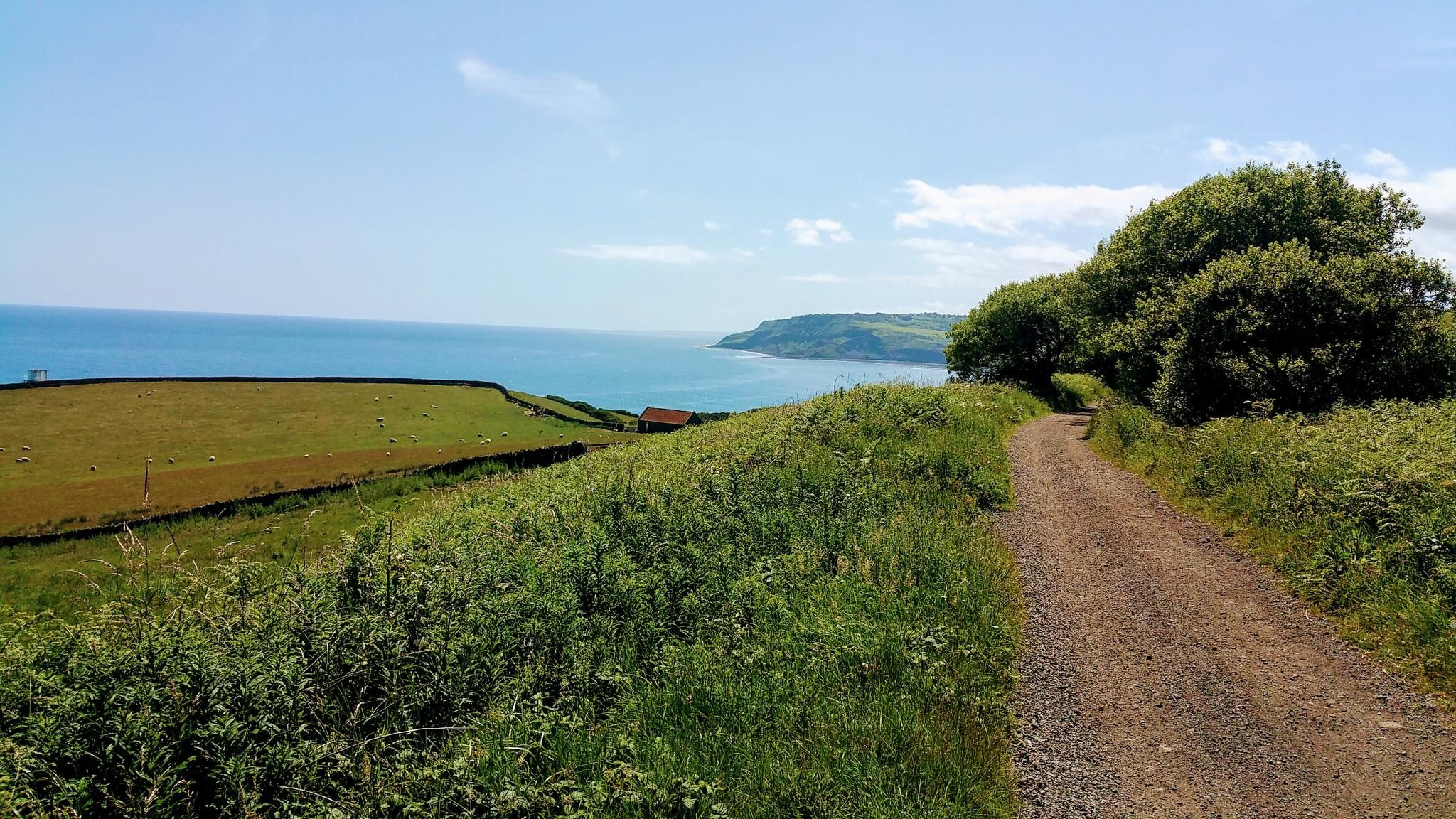
Gravel Cycling in North York Moors National Park
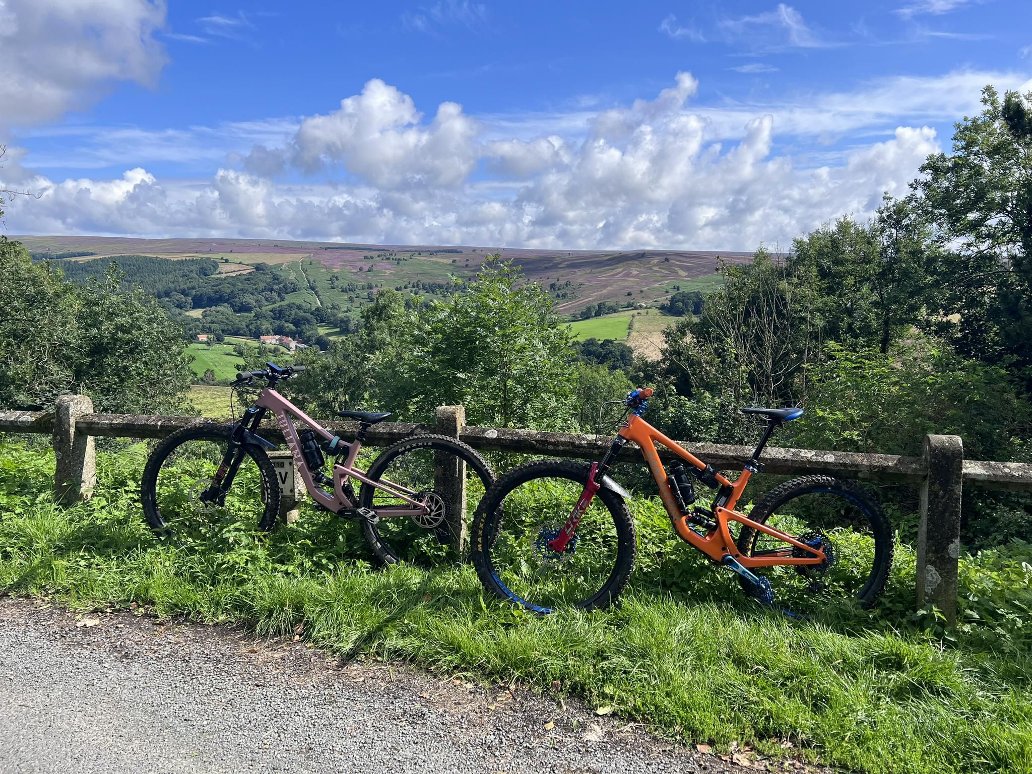
MTB Trails in the North York Moors National Park
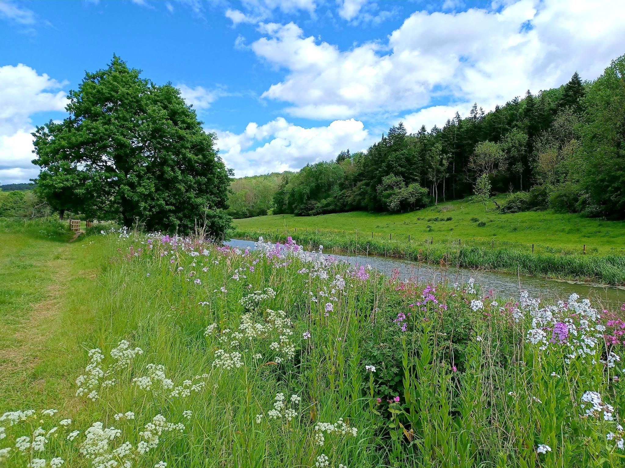
Hike 'God's Own County' – White Rose Way
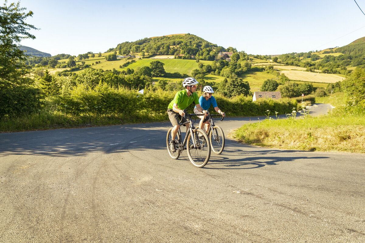
North York Moors National Park Cycle Routes
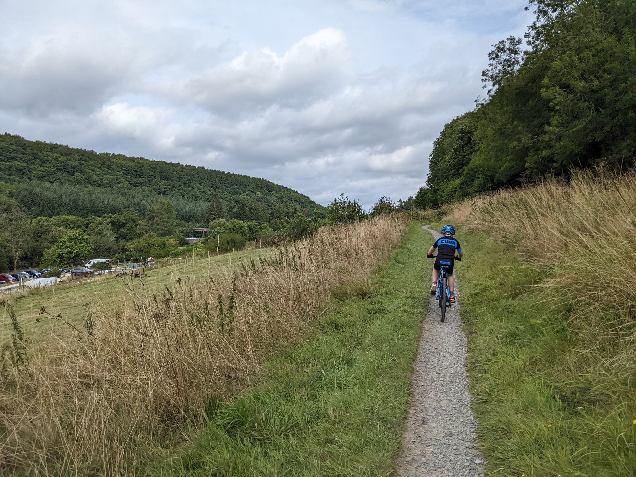
Cycling and MTB trails at Dalby Forest
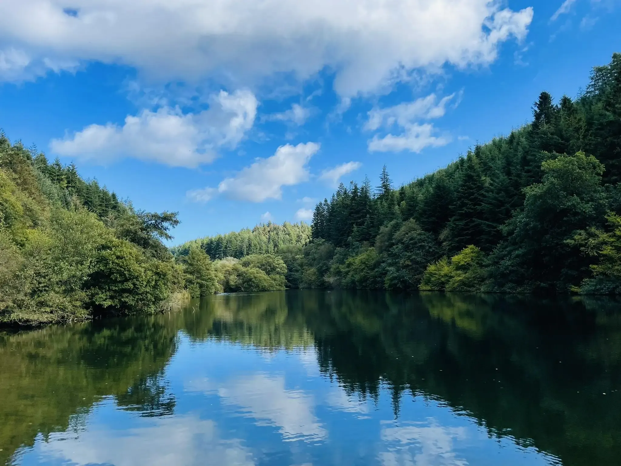
Walking and running trails at Dalby Forest
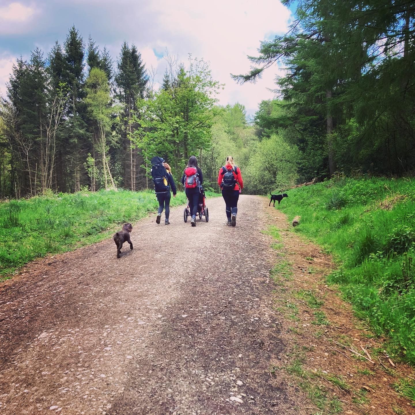
Lovely pushchair friendly walks in and around the North York Moors
Traffic-free bike rides around Thornton-Le-Dale

Traffic-free bike rides around Thornton-Le-Dale
Other adventures around Thornton-Le-Dale


Tips from the Community


Hidden among the trees are wooden carvings of animals like squirrels, owls, and a kingfisher.
0
0
Welcome to Yorkshire, the region’s official tourism site, prominently refers to Thornton-le-Dale as the “Jewel of the Moors”, highlighting its scenic village pond, thatched cottages, and meandering beck. The name “Thornton” likely comes from the Angles who settled Yorkshire around AD 500–540, meaning “farmstead among thorn bushes”.
0
0

Many paths. Quiet and beautiful. Perfect for a mountain and a gravel bike.
0
0

Cafe & bike shop both take card payments (and apple payments even if theres no signal). Great place to stop for a slice of cake, sandwich and a coffee. Or bike repairs if needed (and a bit of clothes shopping with all the latest brands there).
0
0

English Heritage site No cafe, or undercover seating area. Hot drinks available but not good if it's raining!
0
0

dalby forest mountain biking, cafe, walks, park bike hire, awesome mountain biking
0
0
Frequently Asked Questions
How many no traffic road cycling routes are available around Thornton-Le-Dale?
There are 6 dedicated traffic-free road cycling routes around Thornton-Le-Dale, offering a variety of distances and difficulty levels for a peaceful ride.
What is the best time of year to enjoy traffic-free road cycling in Thornton-Le-Dale?
The North York Moors area, including Thornton-Le-Dale, is beautiful year-round. Spring and autumn offer pleasant temperatures and vibrant scenery. Summer provides longer daylight hours, while winter can be crisp and clear, though some routes might be more exposed. Always check local weather conditions before heading out.
Are there any easy, traffic-free road cycling routes suitable for beginners or families?
Yes, there are 3 easy-grade routes perfect for beginners or families looking for a relaxed ride. For example, the Beck Isle Cottage – Thornton-le-Dale village loop is a gentle 26 km ride with minimal elevation gain. Another easy option is the Dalby Bike Barn – Dalby Forest Visitor Centre loop from Sieve Dale Fen, which is 16 km.
Can I find challenging traffic-free road cycling routes near Thornton-Le-Dale?
While the focus is on 'no traffic,' some routes offer more demanding terrain. The Thornton-le-Dale and Back – Nunnington Hall loop, for instance, covers over 75 km with nearly 500 meters of elevation, providing a moderate challenge through varied landscapes.
What natural features or landmarks can I see along these traffic-free routes?
Many routes offer access to the stunning landscapes of the North York Moors National Park. You might pass by significant viewpoints like Spires Bank Summit or the ancient The Bridestones rock formations. Dalby Forest is also a key feature, with highlights like the Dalby Forest Visitor Centre.
Are there circular no traffic road cycling routes available?
Yes, all the listed traffic-free road cycling routes are circular, meaning you'll start and end in the same location, making planning your ride straightforward. This includes routes like the Pickering Castle – Hutton-le-Hole village loop.
What do other road cyclists enjoy about the traffic-free routes in Thornton-Le-Dale?
The komoot community highly rates the cycling experience in this area, with an average score of 4.77 out of 5 stars. Reviewers often praise the peaceful country lanes, the picturesque village of Thornton-Le-Dale itself, and the stunning views over the moors and forests that many routes provide.
Where can I park when starting a traffic-free road cycling route in Thornton-Le-Dale?
Thornton-Le-Dale offers various parking options within the village, which serves as a common starting point for many routes. For routes venturing into Dalby Forest, the Dalby Forest Visitor Centre provides extensive parking facilities.
Are there cafes or pubs along the traffic-free road cycling routes?
Many routes pass through or near charming villages where you can find cafes and pubs. Thornton-Le-Dale itself has several options. Regionally, places like Cropton, mentioned in local cycling descriptions, feature pubs with microbreweries, offering a great stop during your ride.
Is public transport an option to reach the starting points of these routes?
While Thornton-Le-Dale is accessible by local bus services, direct public transport links to specific route starting points within the North York Moors can be limited. It's advisable to check local bus timetables for connections to Thornton-Le-Dale or nearby towns like Pickering, which may offer more options.
Can I find long-distance traffic-free road cycling routes?
Yes, some routes offer a longer distance for those seeking an extended ride. The Thornton-le-Dale and Back – Nunnington Hall loop is a substantial 75 km, providing a good option for a longer day out on quiet roads.
Are there any routes that offer great views over the moors?
Absolutely. Many routes in the area climb to higher elevations, providing expansive views over the North York Moors and surrounding forests. The region is known for its scenic beauty, and you'll often find yourself cycling through landscapes offering stunning vistas, particularly on routes that traverse the dales and higher country lanes.
Most popular routes around Thornton-Le-Dale
Most popular attractions around Thornton-Le-Dale

Get inspired with the komoot mobile app


Explore more
Browse the best Road cycling routes in other regions.
