The best hikes from bus stations around Strickland Roger
4.6
(2712)
23,291
hikers
9
hikes
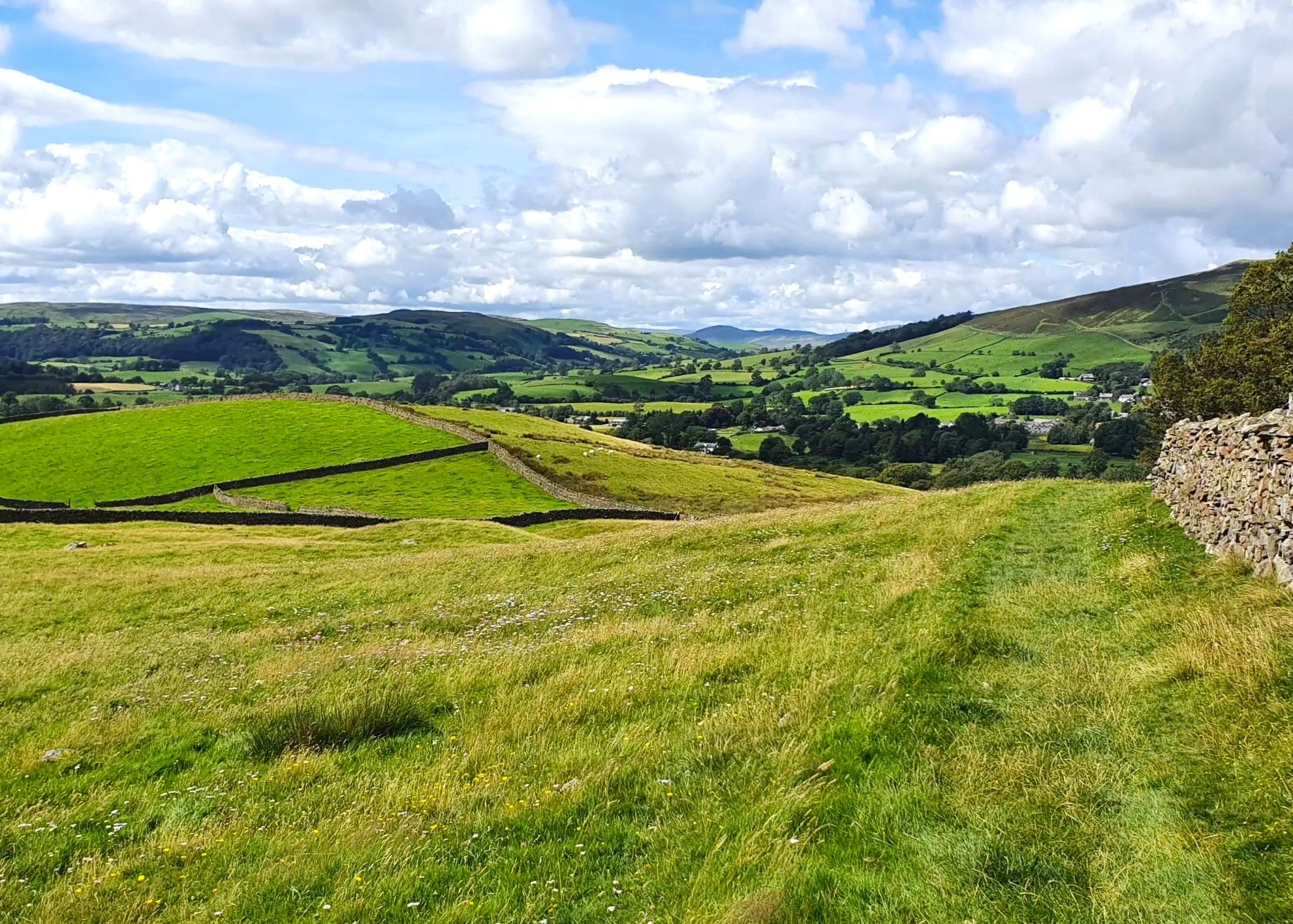
Bus station hiking trails around Strickland Roger are situated within Westmorland and Furness, Cumbria, England. The local landscape features a combination of gentle river valleys, notably along the River Kent, and open pastures. Hiking routes in this area often include small tarns and historical mill sites, offering varied scenery for outdoor activities.
Best bus station hiking trails around Strickland Roger
- The most popular bus station hiking route is Potter Tarn – Staveley Mill Weir loop from Strickland Roger, a…
Last updated: July 7, 2026
4.6
(26)
151
hikers
10.5km
03:02
250m
250m
Moderate hike. Good fitness required. Easily-accessible paths. Suitable for all skill levels.
5.0
(1)
27
hikers
10.8km
03:06
250m
250m
Moderate hike. Good fitness required. Easily-accessible paths. Suitable for all skill levels.

Sign up for free
4.8
(16)
188
hikers
9.62km
02:29
50m
50m
Moderate hike. Good fitness required. Easily-accessible paths. Suitable for all skill levels.
7
hikers
3.67km
00:57
30m
30m
Easy hike. Great for any fitness level. Easily-accessible paths. Suitable for all skill levels.
5
hikers
8.30km
02:10
60m
60m
Moderate hike. Good fitness required. Easily-accessible paths. Suitable for all skill levels.
Get access to more routes and recommendations from other explorers.
Sign up for free
Already have an account?
Our route recommendations are based on thousands of hikes, rides, and runs completed by other people on komoot.
Start today with a free account
Your next adventure awaits.
Login or Signup
Popular around Strickland Roger
Other adventures around Strickland Roger

Tips from the Community


Although short lived, the River Kent is surely one of England's most scenic. It gathers high in the Kentmere fells and flows through Staveley and Kendal, before emptying into Morcambe Bay at the Kent Estuary. This riverside section forms a part of the Dales Way, a celebrated long-distance hike between Ilkley in West Yorkshire and Bowness-on-Windermere.
0
0
Managed by the Woodland Trust, Beckmickle Ing is a lovely woodland along the River Kent. It's easy to reach from nearby Staveley and can be linked to a number of great walks in the area. It's particularly delightful in spring, when the bluebells are at their best. Keep an eye out for the resident roe deer too.
1
0


I’ve walked routes past here in all different weather over the years, it’s steep going up from the Bowston end but not too bad via the Longsleddale Road end. Going down from the tarn takes a winding route that either passes Craggy Woods or passes a small farm shop that links to footpaths down to Staveley.
2
0

Don’t miss here for the best ice cream treat! Weds-Sun 12-6pm, with seasonal variations. Check website/facebook. You’ll be so disappointed if it’s closed.
0
0

Always great coffee and food, and no objection to muddy customers!
0
0
Frequently Asked Questions
How many bus-accessible hiking trails are available around Strickland Roger?
There are over 10 hiking routes around Strickland Roger that are easily accessible from bus stations, allowing you to enjoy car-free adventures. These trails range from easy strolls to more moderate excursions.
Are there any easy or beginner-friendly hikes from bus stops in the area?
Yes, several easy routes are available. For a gentle walk, consider the Beckmickle Ing loop from Strickland Roger, which is just over 3.5 km long with minimal elevation gain. It's perfect for beginners or a relaxed outing.
What kind of landscapes can I expect on these bus-accessible trails?
The trails around Strickland Roger often feature a mix of riverside paths, open countryside, and views towards the fells. While Strickland Roger itself is a small parish, the surrounding area offers diverse scenery, including the River Kent and nearby tarns like Potter Tarn.
Are there any circular walks starting from bus stations?
Many of the routes are circular, designed for convenience when using public transport. For example, the Potter Tarn – Staveley Mill Weir loop from Strickland Roger and the River Kent – Beckmickle Ing loop from Strickland Roger are both excellent circular options.
What are some interesting landmarks or viewpoints I can see on these hikes?
While hiking, you might encounter various points of interest. The Potter Tarn – St Margaret's Tower, Staveley loop offers views towards St Margaret's Tower. For broader scenic views in the wider region, nearby highlights include Orrest Head and Brant Fell, though these might require additional travel from the immediate bus stops.
Are the bus-accessible trails around Strickland Roger suitable for families?
Yes, several routes are suitable for families, especially the easier ones with less elevation. The Beckmickle Ing loop is a great choice for a family outing, offering a pleasant walk without being too strenuous for younger hikers.
Can I bring my dog on these hiking trails?
Many trails in the area are dog-friendly, but it's always best to keep dogs on a lead, especially when passing through farmland or near livestock. Always follow the Countryside Code and clean up after your pet. Specific route details on komoot often include information about dog-friendliness.
What is the best time of year to hike around Strickland Roger?
Hiking is enjoyable throughout the year, but spring and autumn offer particularly pleasant conditions with milder temperatures and beautiful scenery. Summer is also popular, while winter hikes can be rewarding, provided you are prepared for potentially wet or icy conditions on paths.
What do other hikers enjoy most about the bus-accessible trails in this area?
The area is highly rated by the komoot community, with an average score of 4.57 stars. Reviewers often praise the convenience of starting directly from public transport, the peaceful riverside sections, and the opportunity to explore the quieter parts of Cumbria.
Are there any longer, more challenging bus-accessible hikes?
For those seeking a moderate challenge, routes like the Potter Tarn – Staveley Mill Weir loop or the Potter Tarn – St Margaret's Tower, Staveley loop offer distances of around 10 km and moderate elevation gains, providing a good workout with rewarding views.
Most popular routes around Strickland Roger
Most popular attractions around Strickland Roger

Get inspired with the komoot mobile app


Explore more
Browse the best Hikes in other regions.
