The best hikes from bus stations around Skelwith
4.8
(1059)
8,844
hikers
10
hikes
Bus station hiking trails around Skelwith offer access to diverse landscapes within the Lake District. The region features a mix of riverside paths along the River Brathay, serene lakes like Elter Water, and ascents to fells such as Black Crag. Woodlands provide additional walking opportunities, with routes often incorporating waterfalls like Skelwith Force and Colwith Force. The terrain varies from gentle, accessible paths to more challenging climbs, catering to different hiking abilities.
Best bus station hiking trails around Skelwith
- The…
Last updated: July 7, 2026
4.6
(5)
34
hikers
6.36km
01:44
90m
90m
Easy hike. Great for any fitness level. Easily-accessible paths. Suitable for all skill levels.
4.7
(6)
20
hikers
7.71km
02:38
330m
330m
Moderate hike. Good fitness required. Mostly accessible paths. Sure-footedness required.

Sign up for free
5.0
(2)
21
hikers
13.1km
03:32
170m
170m
Moderate hike. Good fitness required. Easily-accessible paths. Suitable for all skill levels.
5.0
(4)
7
hikers
12.6km
03:55
460m
460m
Moderate hike. Good fitness required. Easily-accessible paths. Suitable for all skill levels.
14
hikers
3.91km
01:15
160m
160m
Easy hike. Great for any fitness level. Easily-accessible paths. Suitable for all skill levels.
Get access to more routes and recommendations from other explorers.
Sign up for free
Already have an account?
Our route recommendations are based on thousands of hikes, rides, and runs completed by other people on komoot.
Start today with a free account
Your next adventure awaits.
Login or Signup


Tips from the Community

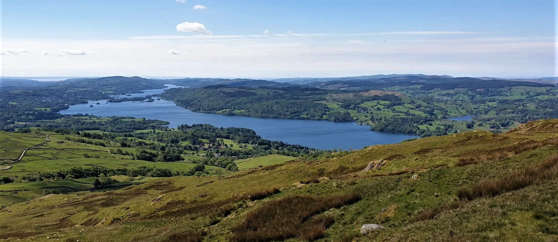
Black Fell (or Black Crag) is a 323-metre (1,056-foot) Wainwright that is often accessed from Tarn Hows. However, if you want a quick ascent, you park at the Cathedral Cave car park on the A593, this will give you a quick up-and-down option. It is a great little fell with its trig-pointed summit giving you great views of Windermere and the surrounding hills.
0
0


The actual summit is over the wall from the trig point.
0
0


Tough ascent on loose shale under trees. Would be tricky in the wet.
2
1


Surrounded by a lot of boggy land - if you're going on a wet day, ensure you're prepared.
1
0
Frequently Asked Questions
How many bus station hiking trails are available around Skelwith?
There are 10 bus station hiking trails available around Skelwith, offering a variety of experiences for different skill levels. These routes make it easy to explore the stunning Lake District scenery without a car.
Are there easy, family-friendly bus accessible hikes in Skelwith?
Yes, Skelwith offers several easy, family-friendly hikes accessible directly from bus stops. For instance, the Wray Castle – Wray Castle loop from Skelwith is an easy 6.4 km route, perfect for a relaxed outing. Another great option is the Lily Tarn loop from Ambleside, which is just under 4 km and also rated easy.
Can I find circular walks starting from Skelwith bus stations?
Absolutely. Many of the bus accessible routes around Skelwith are circular, allowing you to start and end your hike at the same bus stop. An example is the easy Wray Castle – Wray Castle loop from Skelwith, which provides a convenient round trip.
What kind of natural features and landmarks can I see on these bus accessible trails?
The bus accessible trails around Skelwith are rich with natural beauty and interesting landmarks. You can encounter impressive waterfalls like Skelwith Force and Tom Ghyll Waterfalls. Many routes also pass by serene lakes such as Elter Water and Tarn Hows, offering picturesque views. Historic sites like the Dog Kennel Folly (Dog Kennel Folly) can also be found along some paths.
Are there any challenging bus accessible hikes for experienced hikers?
Yes, for those seeking more challenging ascents, Skelwith provides bus accessible routes that lead to rewarding fell viewpoints. The Black Crag – Lily Tarn loop from Ambleside is a moderate 12.6 km hike with significant elevation gain, offering dramatic mountain vistas. Another moderate option is the Loughrigg Fell summit – Lily Tarn loop from Ambleside, covering 7.7 km with substantial climbing.
What do other hikers say about the bus station trails in Skelwith?
The bus station trails around Skelwith are highly regarded by the komoot community, with an average rating of 4.8 out of 5 stars from over 950 reviews. Hikers frequently praise the diverse landscapes, the accessibility of stunning natural features like waterfalls, and the convenience of starting directly from public transport stops.
Are there any routes that pass by pubs or cafes for refreshments?
While specific pub stops are not detailed for every route, the Blelham Tarn – The Drunken Duck Inn loop from Ambleside is a moderate 13 km route that explicitly includes 'The Drunken Duck Inn' in its name, suggesting a potential refreshment stop along the way. Many villages in the Lake District also offer cafes and pubs near bus stops.
What is the best time of year to hike the bus accessible trails in Skelwith?
Skelwith offers beautiful hiking experiences year-round. Spring brings blooming wildflowers, while autumn showcases vibrant foliage. Summer provides longer daylight hours, and even winter can be magical with snow-dusted fells, though some paths may be more challenging. Always check local weather conditions before heading out.
Are there any bus accessible routes that feature waterfalls?
Yes, the Skelwith area is known for its captivating waterfalls, and many bus accessible routes will bring you close to them. Skelwith Force, a dramatic 16-foot waterfall on the River Brathay, is easily accessible via well-marked trails and is often incorporated into popular hiking routes. You might also encounter Tom Ghyll Waterfalls on some paths.
What is the typical duration for these bus station hikes?
The duration of bus station hikes around Skelwith varies depending on the route's length and difficulty. Easy routes like the Lily Tarn loop from Ambleside can take around 1.5 to 2 hours. Moderate to difficult trails, such as the Blelham Tarn – The Drunken Duck Inn loop from Ambleside (13 km), can take 3.5 to 4 hours or more, depending on your pace and stops.
Are there any specific viewpoints accessible from bus routes?
Many bus accessible routes in Skelwith lead to rewarding viewpoints. Hikes around Skelwith Bridge can offer fell viewpoints, with routes like the Black Crag – Lily Tarn loop from Ambleside featuring a significant climb to the Black Crag viewpoint, providing panoramic views of the surrounding fells and tarns. The Shepherd's Hut and Bridge at Troutbeck Tongue is also a notable viewpoint.
Most popular routes around Skelwith
Most popular attractions around Skelwith

Get inspired with the komoot mobile app


Explore more
Browse the best Hikes in other regions.
