The best hikes from bus stations around Dunblane
4.4
(984)
8,366
hikers
13
hikes
Bus station hiking trails around Dunblane offer a diverse landscape characterized by the flowing Allan Water, ancient woodlands, and gentle hills. The region features accessible riverside paths, immersive forest walks, and open greenspaces. While gentle hills like Holmehill provide varied terrain, the nearby Ochil Hills offer more challenging ascents.
Best bus station hiking trails around Dunblane
- The most popular bus station hiking route is Clan MacRae Monument – The Gathering Stone loop from Dunblane, a 5.0 miles (8.0 km)…
Last updated: October 10, 2026
5.0
(10)
43
hikers
9.48km
02:38
170m
170m
Moderate hike. Good fitness required. Easily-accessible paths. Suitable for all skill levels.
5.0
(2)
26
hikers
8.75km
02:19
80m
80m
Moderate hike. Good fitness required. Easily-accessible paths. Suitable for all skill levels.

8
hikers
6.36km
01:44
100m
100m
Easy hike. Great for any fitness level. Easily-accessible paths. Suitable for all skill levels.
7
hikers
6.99km
01:54
100m
100m
Easy hike. Great for any fitness level. Easily-accessible paths. Suitable for all skill levels.
3.0
(1)
9
hikers
12.7km
03:21
110m
110m
Moderate hike. Good fitness required. Easily-accessible paths. Suitable for all skill levels.
Get access to more routes and recommendations from other explorers.
Already have an account?
Our route recommendations are based on thousands of hikes, rides, and runs completed by other people on komoot.
Other adventures around Dunblane

Tips from the Community

Interesting place with history. Cool
0
0

After heavy rain this path can turn into a bit of a stream, then waterproof boots are a must.
0
0
Situated on the Sherrifmuir battlefield, a few miles from Dunblane. The area is part of the Kippendavie estate. There is now an area for parking cars near the monument.
0
0
Board showing trails and paths in Kippendavie, Sherrifmuir
0
0
A small reservoir constructed for the Dunblane Hydro Hotel 1878.
0
0


Have to walk bike, but it is a gorgeous little bridge.
0
0

Frequently Asked Questions
How many bus station hiking trails are available around Dunblane?
There are 10 dedicated hiking routes around Dunblane that conveniently start directly from bus stations, making car-free exploration easy. These routes cater to various fitness levels, with 6 easy and 4 moderate options.
Are there any easy, family-friendly walks accessible from Dunblane bus stations?
Yes, Dunblane offers several easy, family-friendly walks directly accessible from bus stops. The area's gentle hills and riverside paths, particularly along the Allan Water, are ideal. A great option is the Old Ford Crossing loop from Dunblane, which is a shorter, easy route perfect for a leisurely stroll.
What kind of landscapes can I expect on these bus station hikes?
The bus station hikes around Dunblane offer a diverse range of landscapes. You'll find scenic riverside paths along the Allan Water, ancient woodlands like those near Kippenrait Glen, and gentle hills providing varied terrain. Some routes also offer glimpses towards the more challenging Ochil Hills in the distance.
Are there any circular routes starting from Dunblane bus stations?
Yes, many of the routes are circular, allowing you to return to your starting point without retracing your steps. For example, the The Darn Walk Picnic Area – Darn Walk loop from Dunblane is a popular easy circular path following the historic Darn Walk.
Can I bring my dog on these hiking trails?
Many of the trails around Dunblane are dog-friendly, especially those through woodlands and along the Allan Water. It's always recommended to keep dogs on a lead, particularly near livestock or in nature conservation areas, to protect wildlife and ensure a pleasant experience for all hikers. The Allan Water Riverbank – Rope Swing by the River loop from Dunblane offers extensive riverside walking which dogs often enjoy.
What interesting landmarks or natural features can I see along the bus station hiking trails?
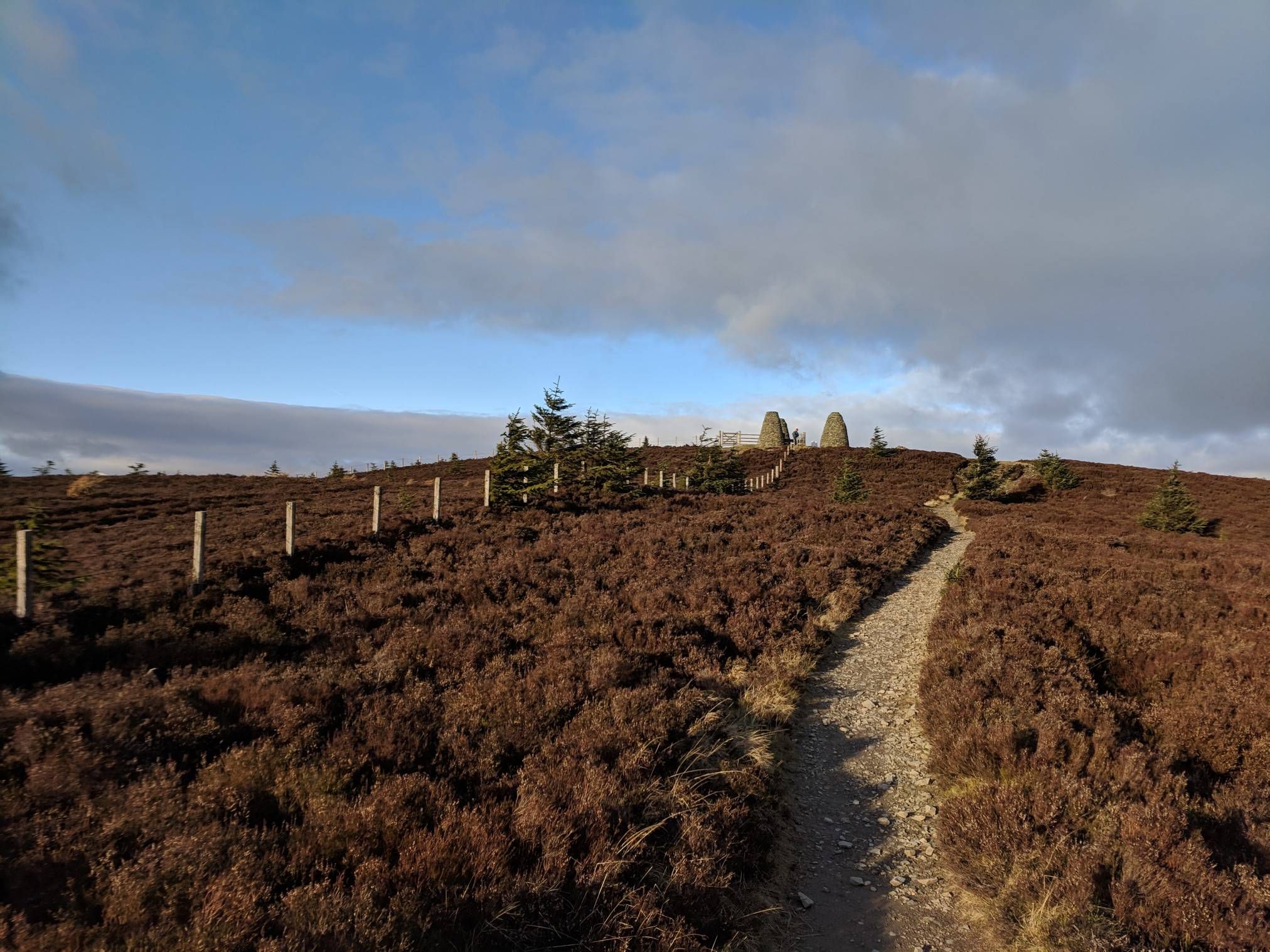
You can discover several interesting features. Many routes follow the scenic Allan Water, known for its wildlife. For historical interest, the Clan MacRae Monument – The Gathering Stone loop from Dunblane takes you past the historic Clan MacRae Monument. While not directly on every bus station route, the area is also close to significant peaks like Dumyat Summit and the iconic National Wallace Monument, which can be seen from various viewpoints.
Are there any waterfalls accessible near these bus station hikes?
While the immediate bus station routes focus on riverside and woodland paths, the wider Dunblane area is known for its waterfalls. You can find beautiful cascades like the Waterfalls of Alva Glen or Dollar Glen Waterfall, which might require a short additional journey from Dunblane.
What is the best time of year to hike around Dunblane?
Dunblane's mild and temperate climate generally allows for year-round enjoyment of its outdoor pursuits. Spring brings blooming wildflowers, summer offers lush greenery, autumn showcases vibrant foliage, and even winter can be beautiful with crisp air, though some paths might be muddy. Always check local weather conditions before heading out.
What do other hikers enjoy most about hiking from bus stations in Dunblane?
The komoot community highly rates the hiking experience around Dunblane, with an average score of 4.4 stars from over 800 ratings. Hikers often praise the convenience of starting directly from public transport, the peaceful riverside paths, and the beautiful ancient woodlands. The accessibility of routes like the Allan Water – Scouring Burn loop from Dunblane for a moderate adventure is also frequently highlighted.
Are there any longer, more challenging routes available from Dunblane bus stations?
Yes, for those seeking a longer, moderate challenge, routes like the Allan Water Riverbank – Rope Swing by the River loop from Dunblane offer a substantial distance of over 12 kilometers with varied terrain. While not reaching the highest peaks of the Ochil Hills, these routes provide a good workout and extended exploration of the Dunblane landscape.
Most popular routes around Dunblane
Most popular attractions around Dunblane

Get inspired with the komoot mobile app


Explore more
Browse the best Hikes in other regions.
