The best hikes from bus stations around Newcastleton And District
4.3
(175)
1,549
hikers
6
hikes
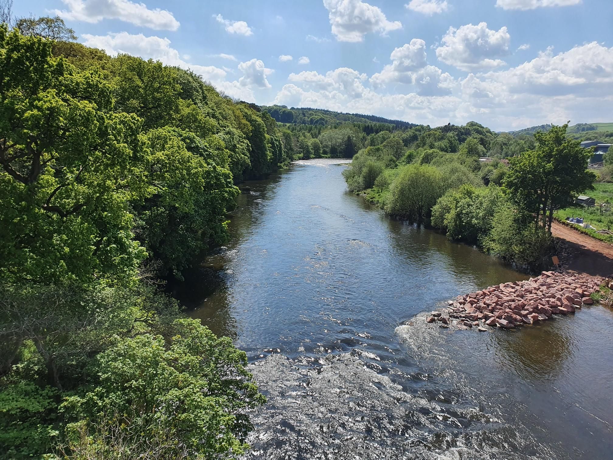
Bus station hiking trails around Newcastleton And District are situated in the Liddesdale valley within the Scottish Borders, offering a varied landscape for outdoor activities. The region features a mix of wooded hills, expansive open moorlands, and numerous rivers such as the Liddel Water and Kershope Burn. Hikers can explore forests like Newcastleton Forest and ascend hills such as Kirk Hill and Priest Hill, which provide panoramic views.
Best bus station hiking trails around Newcastleton And District
- The most popular…
Last updated: October 10, 2026
2.0
(1)
8
hikers
7.73km
02:11
170m
170m
Moderate hike. Good fitness required. Easily-accessible paths. Suitable for all skill levels.
5.0
(1)
5
hikers
10.2km
02:45
140m
140m
Moderate hike. Good fitness required. Easily-accessible paths. Suitable for all skill levels.

15
hikers
Easy hike. Great for any fitness level. Easily-accessible paths. Suitable for all skill levels.
6
hikers
7.36km
02:01
120m
120m
Moderate hike. Good fitness required. Easily-accessible paths. Suitable for all skill levels.
5
hikers
Moderate hike. Good fitness required. Easily-accessible paths. Suitable for all skill levels.
Our route recommendations are based on thousands of hikes, rides, and runs completed by other people on komoot.
Start today with a free account
Your next adventure awaits.
Popular around Newcastleton And District
Other adventures around Newcastleton And District

Tips from the Community

Located just north of Newcastleton in the Scottish Borders, Old Castleton Cemetery bears witness to centuries of local history. Situated on a hill along the B6357, this cemetery offers stunning views of the surrounding countryside. It contains over 670 memorials, many of which have been photographed and recorded on Find a Grave. The site also contains three Commonwealth war graves from the Second World War, further enhancing its historical significance. The site is popular with genealogical researchers and walkers who want to explore Liddesdale's heritage.
4
0

Great cafe with excellent coffee and scones. Hot food looked good too. Very reasonable and quick service.
0
0


This section or this direction is all climbing on switchbacks. They are no banked corners and ride speed was very slow. I was not keen on this section, the cornering offers no confidence and just makes you feel like the bike would not handle them very well, they make you feel very twitchy. Banked berms are far superior to these berms and more enjoyable
0
0

A good start to the mountain bike trails over the river on this pedestrian bridge. Traffic is in both directions so take care for cyclists and walkers coming the other way!
0
0


Superb Community run Bunkhouse. Secure bike storage. Three large en-suite rooms - see website for details. Well equipped kitchen/dining room. And a very effective drying room with dehumidifier. Olive Tree cafe and bakery (open daily till 1600) & Food shops nearby too.
0
0
Frequently Asked Questions
How many bus station hiking trails are available in Newcastleton And District?
There are 6 dedicated hiking trails in Newcastleton And District that start directly from bus stations, making car-free exploration easy. These routes range from easy strolls to more challenging moderate hikes.
Are there any easy bus station hikes suitable for beginners or families?
Yes, for an easy and pleasant walk, consider the Copshaw Kitchen Café Bistro – Swimming spot on Liddel Water loop from Newcastleton. This 3.8 km route is perfect for a relaxed outing and even includes a swimming spot on Liddel Water.
Can I find circular routes starting from bus stations in Newcastleton And District?
Absolutely. All the bus station hikes in this guide are circular routes, bringing you back to your starting point. For example, the The Olive Tree Café – Black Burn Moorland Track loop from Newcastleton offers a 7.9 km loop through moorland scenery.
What kind of natural features or viewpoints can I expect on these bus station trails?
The region is rich in diverse landscapes. You can expect to encounter wooded hills, open moorlands, and winding rivers like the Liddel Water and Kershope Burn. Many routes offer panoramic views, especially from hills such as Priest Hill. The The Olive Tree Café – Kershope Burn Border Crossing loop from Newcastleton will take you near the Kershope Burn, which forms part of the border with England.
Are there any trails that cross the border into England?
Yes, some walks in the area offer a unique cross-border experience. The The Olive Tree Café – Kershope Burn Border Crossing loop from Newcastleton is a moderate 15.7 km route that ventures towards the English border along the Kershope Burn.
What do other hikers enjoy most about hiking in Newcastleton And District?
The area is highly rated by the komoot community, with an average score of 4.37 stars from 149 ratings. Reviewers often praise the varied terrain, the peaceful atmosphere of the woodlands and moorlands, and the convenience of trails accessible directly from public transport.
Are there any specific landmarks or points of interest along the bus accessible routes?
While the routes themselves focus on natural beauty, the wider Newcastleton And District area features several points of interest. You might find yourself near the historic Kielder Viaduct or have views towards Deadwater Fell summit. The The Olive Tree Café – Old Castleton Cemetery loop from Newcastleton passes by the historic Old Castleton Cemetery.
Are the bus station trails in Newcastleton And District dog-friendly?
Many trails in Newcastleton And District are suitable for dogs, but it's always recommended to keep them on a lead, especially when passing through livestock areas or nature reserves, and to follow the Scottish Outdoor Access Code. Always carry bags to clean up after your dog.
What is the best time of year to hike these bus station trails?
Spring and summer are particularly beautiful, with wildflowers like bluebells and hyacinths in bloom in the woodlands, and birds like woodpeckers active. Autumn offers stunning foliage. While hiking is possible year-round, be prepared for potentially wet and muddy conditions in winter, and always check local weather forecasts.
Are there any routes that offer views of waterfalls?
While the specific bus station routes in this guide don't directly feature major waterfalls, the wider Newcastleton and District region is home to impressive cascades like Goat Linn and Hog Gill Spout. You might encounter smaller burns and streams along the trails, especially on routes like the The Olive Tree Café – Switchback Section loop from Newcastleton.
What kind of terrain can I expect on these bus station hikes?
The terrain varies from well-maintained paths and tracks through woodlands to more open moorland sections. You can expect some gentle ascents and descents, with the most challenging route, the The Olive Tree Café – Kershope Burn Border Crossing loop from Newcastleton, having an elevation gain of around 258 meters.
Most popular routes around Newcastleton And District
Most popular attractions around Newcastleton And District

Get inspired with the komoot mobile app


Explore more
Browse the best Hikes in other regions.
