The best hikes from bus stations around Arran
4.6
(873)
6,885
hikers
92
hikes
Bus station hiking trails around Arran offer access to a diverse landscape, often described as "Scotland in miniature." The island is bisected by the Highland Boundary Fault, creating a rugged, mountainous north with granite peaks and dramatic glens, contrasting with the gentler, rolling hills of the south. This geological variety provides a range of hiking experiences, from coastal paths to challenging mountain ascents.
Best bus station hiking trails around Arran
- The most popular bus station hiking route is Arran Coastal…
Last updated: October 10, 2026
4.8
(48)
268
hikers
12.6km
03:40
310m
310m
Moderate hike. Good fitness required. Mostly accessible paths. Sure-footedness required.
4.7
(15)
114
hikers
12.5km
05:26
1,160m
1,160m
Hard hike. Very good fitness required. Easily-accessible paths. Suitable for all skill levels.

4.3
(7)
70
hikers
16.9km
05:02
500m
500m
Hard hike. Very good fitness required. Easily-accessible paths. Suitable for all skill levels.
4.8
(6)
59
hikers
8.80km
03:48
810m
810m
Moderate hike. Good fitness required. Easily-accessible paths. Suitable for all skill levels.
4.0
(2)
43
hikers
8.14km
02:16
150m
150m
Moderate hike. Good fitness required. Easily-accessible paths. Suitable for all skill levels.
Get access to more routes and recommendations from other explorers.
Already have an account?
Our route recommendations are based on thousands of hikes, rides, and runs completed by other people on komoot.
Start today with a free account
Your next adventure awaits.
Popular around Arran
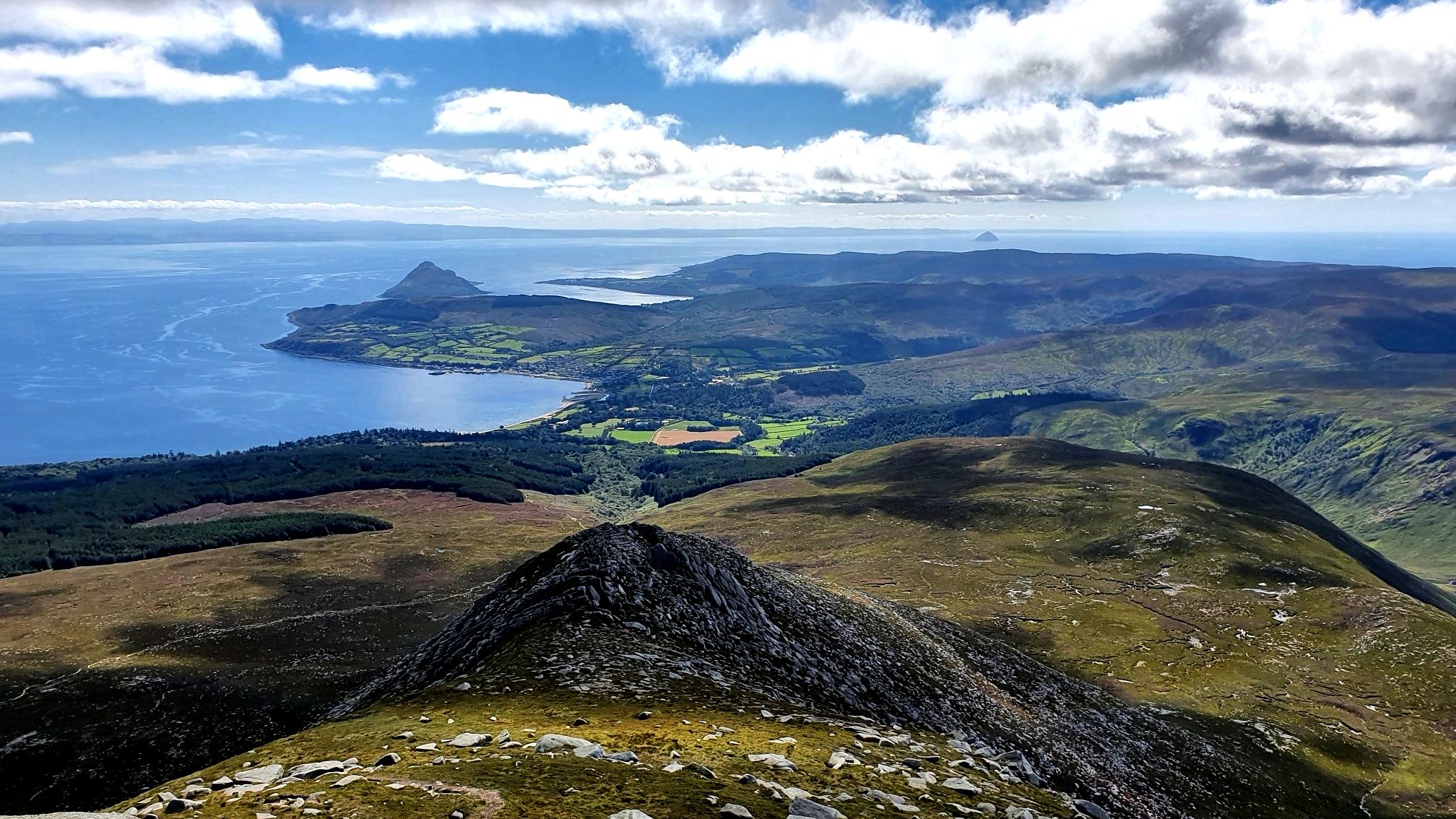
Arran Coastal Way — A breathtaking loop of 'Scotland in miniature'

Walk Britain – 90 car-free adventures in England, Wales and Scotland
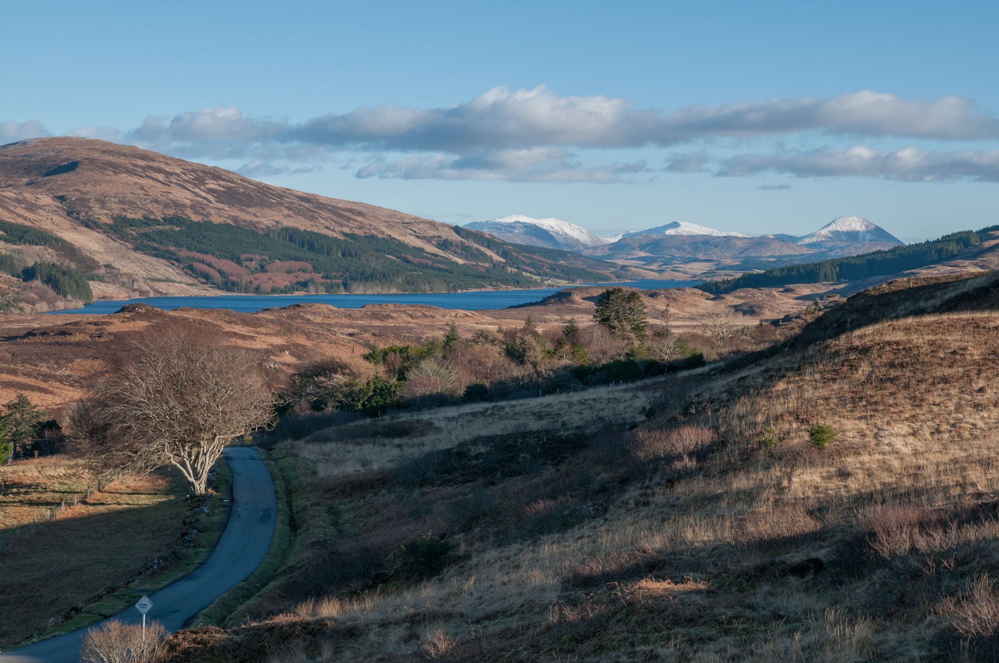
West Island Trail – Island hopping by bike in the Inner Hebrides
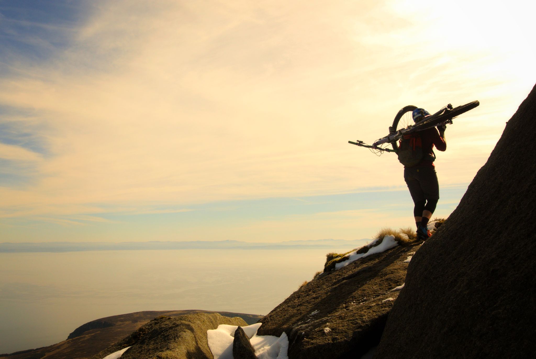
Hike-a-bike is alright – my 7 favourite UK "earn your descents rides"
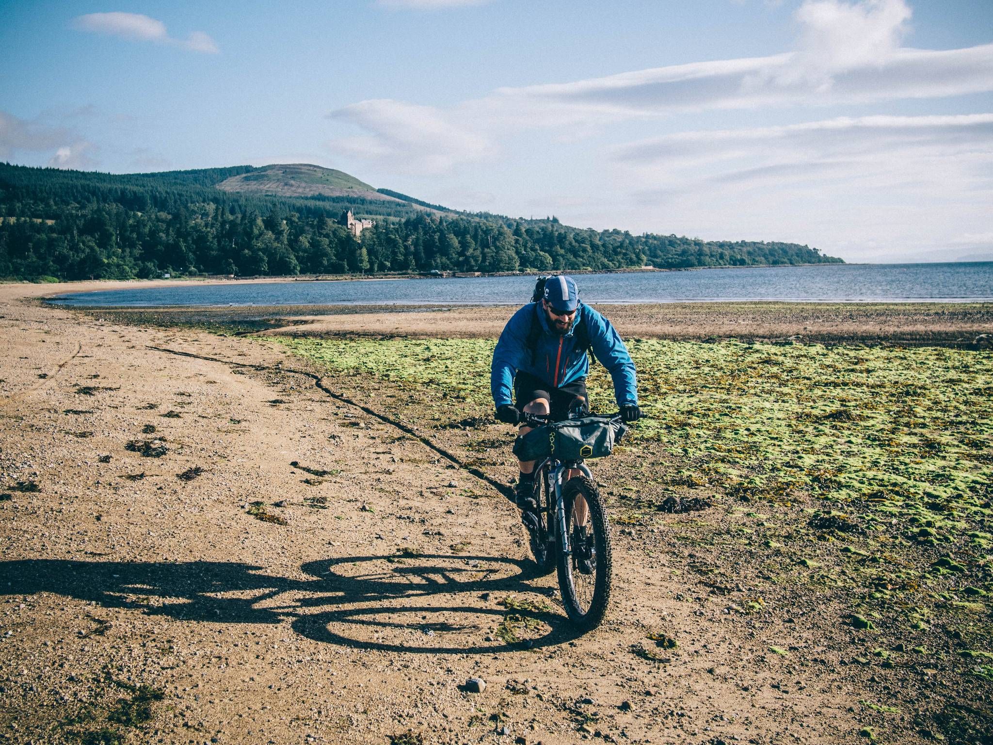
Isle of Arran — trails, bikes and the sea


Tips from the Community

It is worth climbing. This expanse is simply wonderful
0
0

North Goat Fell is rocky tor and a subsidiary summit at the end of the Goat Fell north ridge. It also marks the beginning of the steep and in places awkward descent to the Saddle.
0
0
The Saddle is the Col between Cir Mhor and Goat Fell, and it is also the pass between Glen Rosa and Glen Sannox. The descent into Glen Rosa is straight forward, but climbing down into the head of Glen Sannox requires a good deal of care. The views from the Saddle down either glen are well worth the effort! Please note that the long description above is completely wrong and does not describe the Saddle on Arran, instead it is for somewhere in the Lakes, possibly Sticks Pass! - I have submitted an error report.
1
0
You pass this waterfall on the way to Beinn Nuis, a section of it is more of a slide down to granite slab.
0
0
Much beloved of Instagrammers who like swimming in the cold waters!
0
0

This is the castle that inspired Herges Adventures of TinTin only Scottish Adventure!
0
0

Frequently Asked Questions
How many bus-accessible hiking trails are available in Arran?
There are nearly 100 hiking trails in Arran that are easily accessible from bus stations, offering a wide range of experiences. These include 37 easy routes, 39 moderate routes, and 20 challenging options, ensuring something for every hiker.
Are there easy, family-friendly hikes accessible by bus in Arran?
Yes, Arran offers many easy, bus-accessible trails perfect for families. These routes often feature gentler terrain and shorter distances. Look for trails in the southern part of the island, which has more undulating hills and pastures. For example, the area around Glenashdale Falls offers an easy loop from Ashdale Bridge.
What challenging bus-accessible routes are available for experienced hikers?
For experienced hikers seeking a challenge, Arran's mountainous north provides several demanding bus-accessible routes. You can tackle the iconic Goatfell and North Goatfell Loop from Corrie, which involves significant elevation gain. Another difficult option is the Loch na Davie & Locharanza loop from Arran Distillery, offering rugged terrain and rewarding views.
Can I find circular hiking routes that start and end at bus stops?
Yes, many of Arran's bus-accessible trails are circular, allowing you to return to your starting point without retracing your steps. An example is the Cladach to Waterfall in Glen Rosa loop, which offers a moderate circular hike. The Arran Coastal Way also features sections that can be done as circular loops from various coastal villages, such as the Arran Coastal Way: Lochranza Loop.
Are there bus-accessible trails that feature waterfalls or other natural wonders?
Absolutely! Arran is known for its natural beauty. The Glenashdale Falls, located near Whiting Bay, are a popular attraction and can be reached via bus. The Cladach to Waterfall in Glen Rosa loop also takes you past a beautiful waterfall. The island's unique geology, bisected by the Highland Boundary Fault, creates dramatic landscapes with deep glens and soaring peaks, many of which are visible from bus-accessible routes.
What landmarks or points of interest can I see along these bus-accessible trails?
Arran's bus-accessible trails offer access to a wealth of landmarks and natural attractions. You can explore historic sites like King's Cave on the west coast, or the ancient Machrie Moor Stone Circles. In the north, trails can lead you towards impressive peaks like Goatfell Summit, Caisteal Abhail, and Beinn Tarsuinn Summit and Arch Rock. The Lochranza Castle and Arran Distillery are also accessible via bus routes.
Are the bus-accessible hiking trails in Arran dog-friendly?
Many of Arran's hiking trails are dog-friendly, but it's essential to keep dogs on a lead, especially in areas with livestock or ground-nesting birds. Always follow the Scottish Outdoor Access Code. Be aware that some public transport services may have restrictions on dogs, so check with the bus operator before you travel.
What is the best time of year to hike these trails in Arran?
The best time for hiking in Arran is generally from spring to autumn (April to October), when the weather is milder and daylight hours are longer. Spring brings wildflowers, while autumn offers stunning colours. Summer is popular but can be busy. Winter hiking is possible for experienced individuals, but requires appropriate gear and awareness of shorter daylight, colder temperatures, and potentially challenging conditions, especially in the mountains.
What do other hikers enjoy most about hiking in Arran?
The bus-accessible trails in Arran are highly rated by the komoot community, with an average score of 4.6 stars. Reviewers often praise the incredible diversity of landscapes, from rugged mountains to serene coastlines, often referred to as 'Scotland in miniature.' Hikers particularly enjoy the stunning panoramic views from peaks like Goatfell and the chance to spot diverse wildlife, including red deer and golden eagles.
Can I reach the summit of Goatfell using public transport?
Yes, you can reach the starting points for Goatfell ascents via public transport. Buses serve villages like Brodick and Corrie, which are common starting points for climbing Arran's highest peak. For example, the Goatfell from Corrie route is directly accessible by bus.
Where can I find bus schedules for these hiking routes in Arran?
For current bus schedules and routes on Arran, it's best to consult the local bus operator's website or VisitArran's transport information. Bus services connect the main villages and many trailheads around the island, making car-free exploration straightforward. Always check timetables in advance, especially for weekend or off-season travel, as services can be less frequent.
Most popular routes around Arran
Most popular attractions around Arran

Get inspired with the komoot mobile app


Explore more
Browse the best Hikes in other regions.
