The best hikes from bus stations around North Berwick
4.6
(378)
3,631
hikers
17
hikes
Hiking around North Berwick offers diverse landscapes, from coastal paths along the Firth of Forth to inland trails and prominent volcanic hills. The region is characterized by sandy beaches, dramatic clifftops, and the distinctive North Berwick Law, a 615-foot (187-meter) volcanic plug. Hikers can experience varied terrain, including agricultural land and small woodlands, with views of offshore islands like Bass Rock. These features provide a range of bus station hiking trails suitable for different abilities.
Best bus station hiking trails…
Last updated: October 10, 2026
4.5
(11)
266
hikers
2.62km
00:51
110m
110m
Easy hike. Great for any fitness level. Easily-accessible paths. Suitable for all skill levels.
5.0
(3)
121
hikers
Easy hike. Great for any fitness level. Easily-accessible paths. Suitable for all skill levels.

4.5
(8)
82
hikers
Moderate hike. Good fitness required. Easily-accessible paths. Suitable for all skill levels.
4.8
(4)
71
hikers
Moderate hike. Good fitness required. Easily-accessible paths. Suitable for all skill levels.
5.0
(1)
15
hikers
Easy hike. Great for any fitness level. Easily-accessible paths. Suitable for all skill levels.
Get access to more routes and recommendations from other explorers.
Already have an account?
Our route recommendations are based on thousands of hikes, rides, and runs completed by other people on komoot.
Start today with a free account
Your next adventure awaits.



Tips from the Community

If you have time try to get as far up the train as possible…. Saves a long walk to the exit gate at Waverley
0
0

This scenic walk along the stunning clifftops just east of North Berwick offers breathtaking views of unique rock formations, including The Leithies and Yellow Man. On clear days, you can spot the iconic Bass Rock with its historic castle and lighthouse rising from the sea in the distance.
1
0

Freely grazing ponies at the hill and beautiful views over North Berwick shores
0
0

Leckmoram Ness is the headland east of North Berwick. The wave cut platform sticks out to sea and there are beaches accessible at low tide on each side. It's a good place to view Bass Rock which lies a couple of km offshore. You can run here along the coastal paths and make a bit of a loop using either the beach or inland paths on the coastal side of the golf course.
0
0
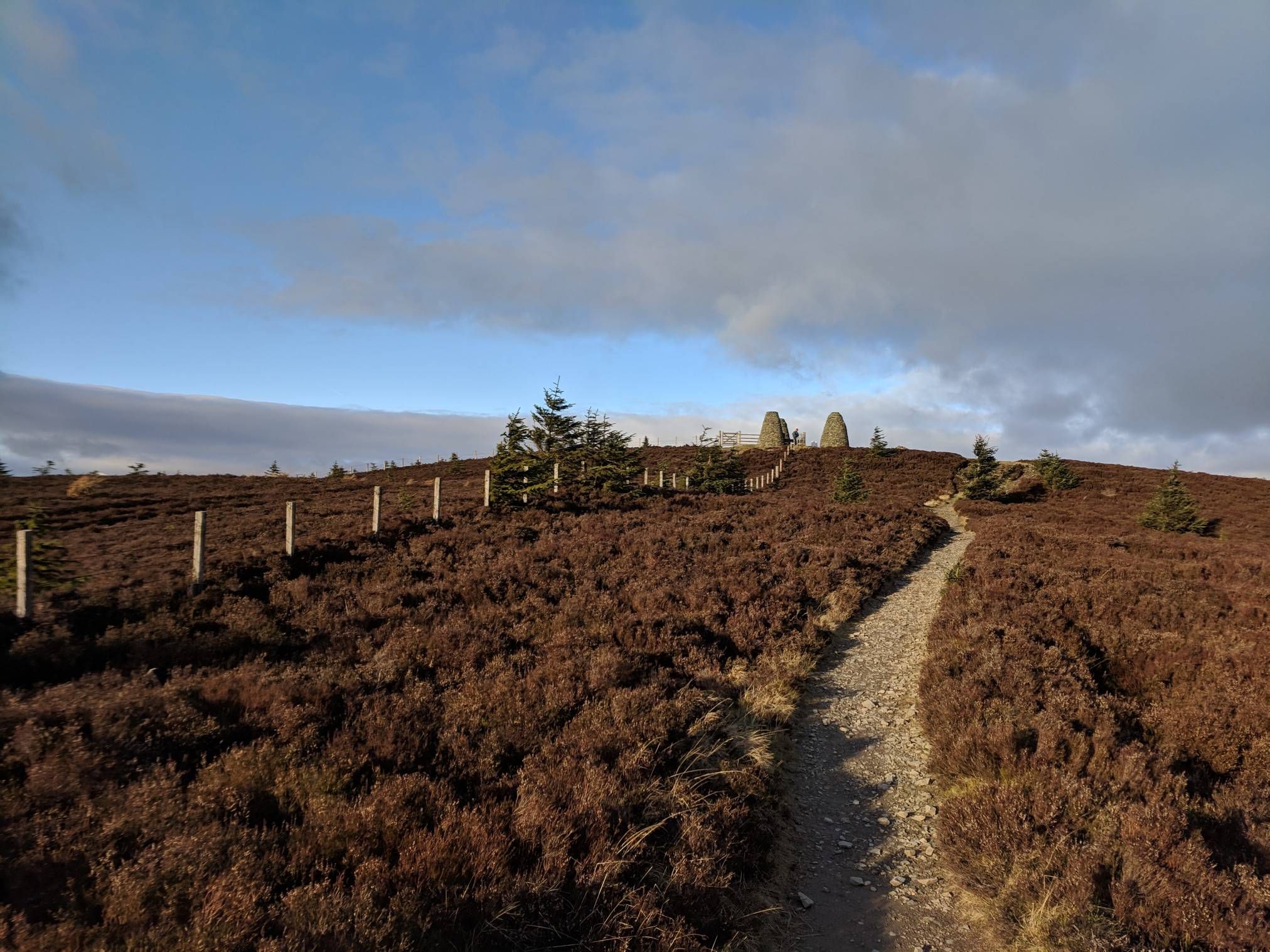
Standing at 187m North Berwick Law isn't actually that high but it's prominence and location just inland from the coast mean it's visible for miles and offers amazing views. There is a trig point and arch on the summit. A great high point to aim for on a local run or as part of a longer coastal route, steep but not that long so worth the climb.
0
0

Beautiful beach at North Berwick with golden sand backed by dunes
0
0
Frequently Asked Questions
How many bus station hiking trails are available in North Berwick?
There are over 20 hiking routes around North Berwick that are easily accessible from bus stations. These routes offer a variety of experiences, including 10 easy, 5 moderate, and 5 difficult trails, ensuring options for all fitness levels.
Are there family-friendly hiking options accessible by bus in North Berwick?
Yes, North Berwick offers several family-friendly walks from bus stops. Many coastal paths are suitable for families, providing gentle terrain and scenic views. For an easy option, consider the North Berwick Beach – Scottish Seabird Centre loop, which is 5.7 km long and stays close to town amenities.
Can I bring my dog on these bus-accessible hiking trails?
Most hiking trails around North Berwick are dog-friendly, especially the coastal paths and inland routes. It's always best to keep dogs on a lead, particularly near livestock, wildlife habitats (like seabird colonies), or busy areas. Remember to check local signage for any specific restrictions.
What kind of landscapes can I expect on bus-accessible hikes in North Berwick?
Hikes from North Berwick's bus stations offer a diverse range of landscapes. You can explore dramatic coastal paths with views of the Firth of Forth and its islands, ascend the iconic North Berwick Law for panoramic vistas, or wander through agricultural land and small woodlands. The region is known for its distinctive volcanic hills and beautiful sandy beaches.
Are there any circular routes starting from North Berwick bus stations?
Yes, many of the bus-accessible routes are circular, allowing you to start and end at the same bus stop without needing to arrange return transport. An example is the View of Bass Rock – Drift Café With Sea View loop, a moderate 7.9 km trail offering stunning coastal scenery.
What historical landmarks or points of interest can I see on these trails?
North Berwick's bus-accessible trails offer access to several historical and natural landmarks. You can view the ruins of Tantallon Castle perched on a clifftop, or explore the historic North Berwick Law, which has Iron Age and Napoleonic-era significance. Other nearby attractions include Dirleton Castle and Preston Mill.
What is the difficulty level of the North Berwick Law walk from the bus station?
The walk up North Berwick Law, such as the View of The Law Hill loop, is generally considered difficult due to its steep, rocky sections, though a well-maintained path leads to the summit. It's a challenging but rewarding climb, offering exceptional panoramic views.
What do other hikers say about the bus-accessible trails in North Berwick?
The komoot community highly rates the bus-accessible trails in North Berwick, with an average score of 4.66 out of 5 stars from over 300 reviews. Hikers frequently praise the breathtaking coastal views, the iconic landmarks like Bass Rock and North Berwick Law, and the convenience of starting directly from public transport stops.
Are there any longer, more challenging routes from North Berwick bus stations?
Yes, for those seeking a longer challenge, routes like the North Berwick High Street – Scottish Seabird Centre loop offer a moderate 13 km hike. While not extremely difficult in terms of elevation, the distance provides a good workout and allows for more extensive exploration of the coastline and town surroundings.
What wildlife can I expect to see on coastal walks from North Berwick bus stations?
Coastal walks from North Berwick bus stations offer excellent opportunities for wildlife spotting, especially seabirds. You can often see gannets around Bass Rock, and other species like puffins (on Craigleith, recovering after conservation efforts) and cormorants (on Lamb Island). Keep an eye out for seals along the shorelines as well.
Are there any routes that combine town exploration with nature?
Absolutely. Routes like the Lodge Grounds, North Berwick – North Berwick High Street loop allow you to experience both the natural beauty of the area and the charm of North Berwick town. These trails often weave through local parks, past shops and cafes, and then out to the coastal paths.
Most popular routes around North Berwick
Most popular attractions around North Berwick

Get inspired with the komoot mobile app


Explore more
Browse the best Hikes in other regions.
