The best hikes from bus stations around Milngavie
4.4
(339)
6,253
hikers
10
hikes
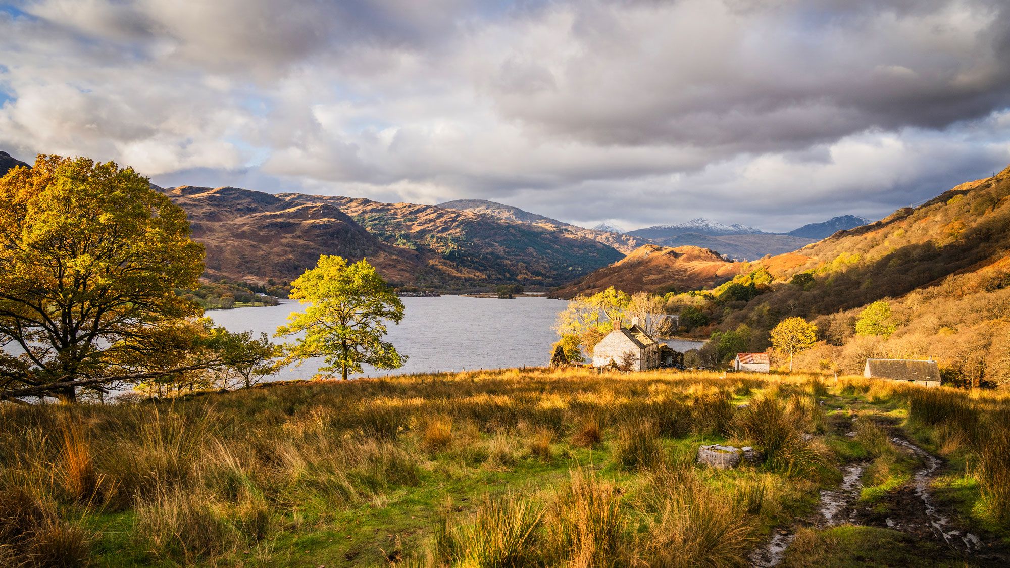
Hiking around Milngavie offers access to diverse landscapes, from tranquil reservoirs and lochs to extensive woodlands and rolling hills. The region serves as the official starting point for the West Highland Way, providing both long-distance and shorter local routes. Hikers can explore areas like Mugdock Country Park and the Milngavie Reservoirs, which feature varied terrain and historical sites. The surrounding area is characterized by a network of paths along rivers and through moorland, with views extending to the Campsie Fells.
…Last updated: October 10, 2026
4.5
(6)
236
hikers
6.21km
01:38
60m
60m
Easy hike. Great for any fitness level. Easily-accessible paths. Suitable for all skill levels.
20
hikers
8.75km
02:23
130m
130m
Moderate hike. Good fitness required. Easily-accessible paths. Suitable for all skill levels.

15
hikers
Moderate hike. Good fitness required. Easily-accessible paths. Suitable for all skill levels.
10
hikers
3.92km
01:01
20m
20m
Easy hike. Great for any fitness level. Easily-accessible paths. Suitable for all skill levels.
4
hikers
Easy hike. Great for any fitness level. Easily-accessible paths. Suitable for all skill levels.
Get access to more routes and recommendations from other explorers.
Already have an account?
Our route recommendations are based on thousands of hikes, rides, and runs completed by other people on komoot.
Start today with a free account
Your next adventure awaits.
Popular around Milngavie
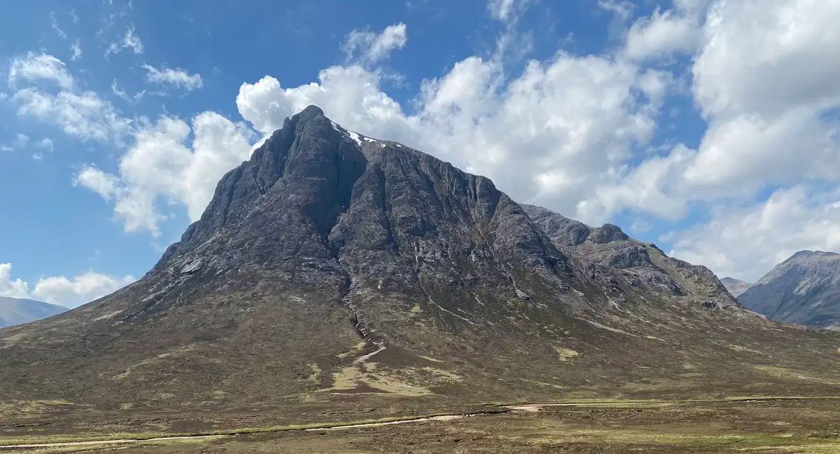
West Highland Way — Hike Scotland's most iconic long distance trail

Walk Britain – 90 car-free adventures in England, Wales and Scotland
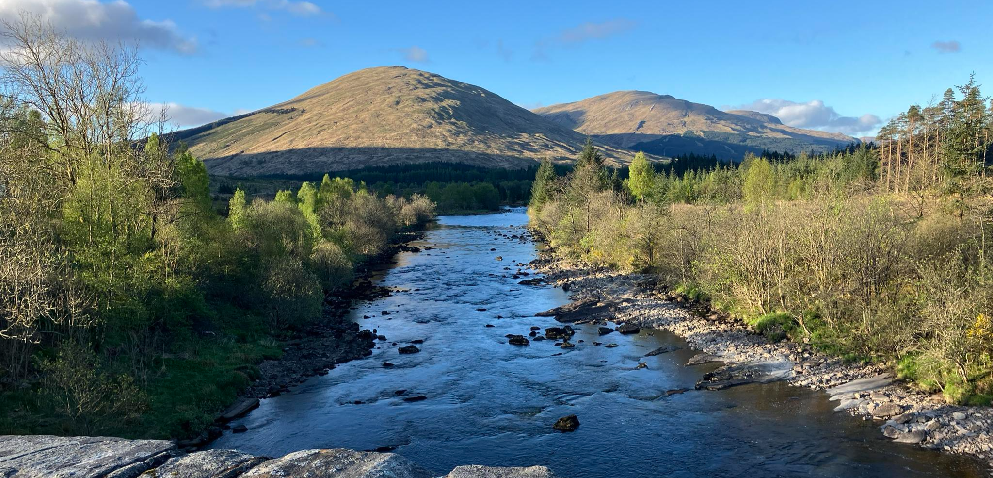
Running the West Highland Way – Scotland's Great Trails
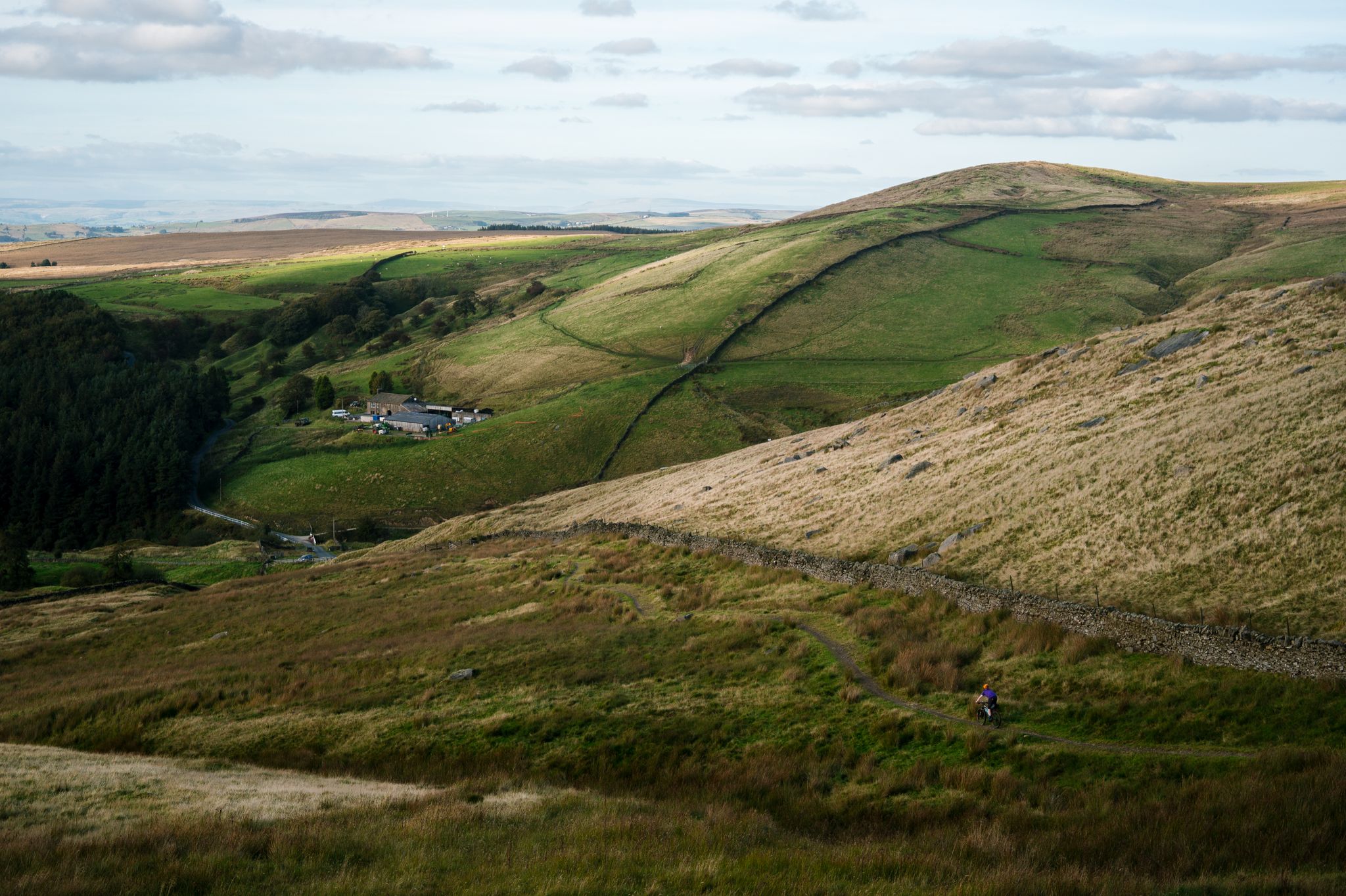
Great North Trail — From the Pennine Hills to the tip of Scotland
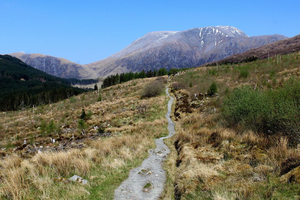
West Highland Way – Mountain biking
West Highland Way: 7 Tage durch die Schottischen Highlands


Tips from the Community

Very nice path, with alternating sections and beautiful botany.
0
0
Above all, the path through Mugdock-Forest is worth it.
2
0

The final point of the Katrine Aqueducts as the water travels from The Trossachs to Milngavie to serve drinking water to the people of Glasgow. Built in the late 1800's, these reservoirs are a beautiful spot for a walk or cycle with good tracks following the perimeter.
1
0
The original Castle on this site was built in the 13th century by the Graham family. The Grahams were a family on the rise and the family were made the Earls of Montrose in 1505. The most famous Graham resident of Mugdock Castle was James Graham (1612-1650) known as The Great Montrose. He was a poet and soldier who fought for the cause of King Charles I during the Wars of The Three Kingdoms (more commonly referred to as The English Civil Wars) and was marked as one of the greatest soldiers of the time. So great was his military fame that King Louis XIV offered him the role as Marshal of France. His success ultimately ran out in 1650 with the loss of The Battle of Carbisdale in Rosshire. Montrose was betrayed by a fellow Scotsman and was ultimately Hung, Drawn and Quartered for his part in the war. His campaigns were immortalised by Sir Walter Scott in his 1819 novel A Legend of Montrose.
2
0


Here you can get the stamp pass for the West Highland Way 🥾🥾
1
0

The West Highland Way was Scotland’s first long-distance walking route and remains by far the most popular. Stretching 94 miles (151 km) from Milngavie on the outskirts of Glasgow to Fort William at the foot of Ben Nevis, it offers a fantastic introduction to the Scottish Highlands. Those who want to add an extra day’s walking can even start in the heart of Glasgow, reaching Milngavie via the Kelvin Walkway. It offers a huge variety, starting in the pastoral landscapes below the Campsies, past the serene beauty of Loch Lomond, and continuing into the increasingly rugged and majestic Highlands. It then crosses the vast, awe-inspiring expanse of Rannoch Moor, with glimpses of Glencoe, before crossing the hills to the magnificent Loch Leven. The route eventually reaches Fort William via the beautiful Glen Nevis. The more enthusiastic can continue from the city via the Great Glen Way, or the unofficial East Highland Way. The route is well marked throughout and avoids the high peaks, so most walkers can tackle it. There is still enough challenge and climbs to stimulate the imagination; one of the most difficult sections is unexpectedly the walk along the eastern side of Loch Lomond, while other parts are very exposed.
4
0
Frequently Asked Questions
How many bus station hiking trails are available around Milngavie?
There are over 10 hiking trails around Milngavie that start directly from bus stations, making it convenient to explore the area without a car. These routes range from easy strolls to more moderate hikes.
Are there any easy, family-friendly walks starting from Milngavie bus station?
Yes, Milngavie offers several easy, family-friendly options. The Mugdock Reservoir – Craigendinnie Measuring Pond loop from Milngavie is an excellent choice, providing a peaceful, almost entirely off-road walk with scenic views. Mugdock Country Park, easily accessible from Milngavie, also features numerous trails suitable for families.
Can I find circular routes easily accessible from Milngavie bus station?
Absolutely. Many of the trails starting from Milngavie bus stations are circular, allowing you to return to your starting point without retracing your steps. For example, the Kilmardinny Loch loop from Milngavie offers a pleasant, short circular walk.
What kind of scenery can I expect on these bus station hikes?
The hikes around Milngavie offer diverse Scottish scenery, from tranquil lochs and reservoirs to woodlands and river paths. You'll encounter the gentle landscapes of the lowlands, and some routes provide glimpses towards the more challenging hills like the Campsie Fells and Kilpatrick Hills in the distance.
Are there any historical sites or natural landmarks to see on these trails?
Yes, the area is rich in points of interest. You can explore sites like Craigallian Loch, known for its natural beauty and historic memorial, or the extensive grounds of Mugdock Country Park which includes Mugdock Castle. The Mugdock Castle – Mugdock Loch loop from Milngavie specifically takes you past these features.
Are the bus station hiking trails around Milngavie suitable for dogs?
Most trails in the Milngavie area are dog-friendly, especially those through woodlands and country parks like Mugdock. It's always recommended to keep dogs on a lead, particularly near livestock or in nature conservation areas, and to clean up after them.
What are some longer, more challenging routes accessible by bus from Milngavie?
While many routes from Milngavie bus stations are easy to moderate, Milngavie is the official starting point of the West Highland Way. Although the full 96-mile route is a multi-day trek, you can embark on the initial sections from the bus station for a longer, more challenging day hike. For a moderate day hike, consider the Prescot Bridge Memorial – Tickled Trout Pub loop from Milngavie.
What do other hikers say about the trails around Milngavie?
The trails around Milngavie are highly rated by the komoot community, with an average score of 4.4 stars. Reviewers often praise the accessibility from public transport, the well-maintained paths, and the peaceful, varied scenery, especially around the lochs and through Mugdock Country Park.
Are there places to eat or drink near the bus station after a hike?
Yes, Milngavie town centre, conveniently located near the bus station, offers several pubs, cafes, and restaurants where you can relax and refuel after your hike. Some routes, like the Prescot Bridge Memorial – Tickled Trout Pub loop from Milngavie, even pass by establishments like the Tickled Trout Pub.
What's the best time of year to hike around Milngavie?
Spring and autumn are particularly beautiful times to hike around Milngavie, with pleasant temperatures and vibrant colours. Summer offers longer daylight hours, while winter can provide crisp, clear days, though paths may be muddy or icy. Always check local weather forecasts before heading out.
Are there any routes that feature lochs or reservoirs?
Yes, the Milngavie area is known for its serene bodies of water. The Mugdock Reservoir – Craigendinnie Measuring Pond loop from Milngavie and the Mugdock Castle – Mugdock Loch loop from Milngavie are excellent choices for walks around these tranquil waters.
Can I find routes that offer good views of the surrounding area?
While many bus station routes are lower-level, the region around Milngavie is close to hills like the Campsie Fells and Kilpatrick Hills, which offer panoramic views. Even some local walks provide glimpses of these higher elevations and the surrounding Scottish countryside. For specific viewpoints, highlights like Earl's Seat Summit or Dumgoyne Hill are within reach for more dedicated hikes.
Most popular routes around Milngavie
Most popular attractions around Milngavie

Get inspired with the komoot mobile app


Explore more
Browse the best Hikes in other regions.
