The best traffic-free bike rides around Donside
4.7
(17)
211
riders
10
rides
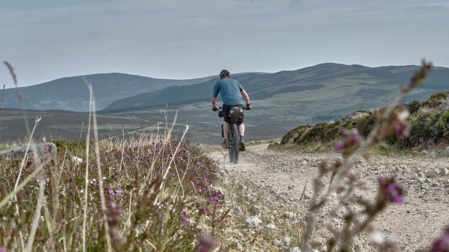
No traffic touring cycling routes around Donside traverse a landscape characterized by rolling hills, lush forests, and the serene River Don. The region offers diverse terrain, from gentle river valleys to more elevated sections, providing varied cycling experiences. Donside's geography includes extensive woodlands and open countryside, making it suitable for routes away from busy roads. This area in Aberdeenshire, Scotland, presents a blend of natural features ideal for touring cyclists seeking tranquil paths.
Best no traffic touring cycling routes around…
Last updated: August 30, 2026
3.0
(1)
5
riders
23.1km
01:52
380m
380m
Moderate bike ride. Good fitness required. Mostly paved surfaces. Suitable for all skill levels.
4
riders
18.6km
01:10
200m
200m
Moderate bike ride. Good fitness required. Mostly paved surfaces. Suitable for all skill levels.

Sign up for free
2
riders
22.0km
02:06
420m
420m
Moderate bike ride. Good fitness required. Mostly paved surfaces. Suitable for all skill levels.
5.0
(2)
5
riders
19.2km
01:20
320m
320m
Moderate bike ride. Good fitness required. Mostly paved surfaces. Suitable for all skill levels.
2
riders
12.4km
00:46
120m
120m
Easy bike ride. Great for any fitness level. Mostly paved surfaces. Suitable for all skill levels.
Get access to more routes and recommendations from other explorers.
Sign up for free
Already have an account?
Our route recommendations are based on thousands of hikes, rides, and runs completed by other people on komoot.
Start today with a free account
Your next adventure awaits.
Login or Signup

Other adventures around Donside

Tips from the Community

Easy to walk with kids. They have a big play park and there's a coffe shop too
0
0

A neolithic stone circle, just off the route and easily accessible. Old Keig is one of the "recumbent" stone circles found only in the northeast of Scotland and characterised by a large recumbents stone and two upright "flankers" forming part of the circle, usually aligned on the midwinter moon. Old Keig is notable in having the largest, heaviest of all the recumbent stones.
0
0
A good spot to stop and enjoy the view over the Howe of Alford before entering the forest. If you cycled up the climb from Tullynessle you may be glad of the chance to stop for a moment or two!
0
0

The parish church of Strathdon is a striking cruciform building, very large for a rural parish. It sits on slightly raised ground above the Water of Nochty with fertile agricultural land surrounding it. The church is located within a large, walled graveyard, with a modern cemetery extension to the west. The large former manse stands just to the north. There has been a church on this site since at least 1200, when it was known as Invernochty. A map shows a church here in 1654, which was replaced in the 1660s and then rebuilt again a hundred years later. The present church dates to the mid 19th century and was largely funded by the landed and influential Forbes family. The kirkyard contains a Tardis-like red granite ashlar Egyptian mausoleum of two storeys built for Mary Forbes, wife of Daniel Mitchell.
0
0

Small railway in Alford running from Alford Station to Haughton Station (near Haughton Park) (about 1,5 km). A Railway owned by the Community. Alford Valley Railway Narrow Gauge opened in 1984 closed in 2017 - reopened in 2023. - https://avcr.org.uk/ - https://en.wikipedia.org/wiki/Alford_Valley_Railway
0
0
Small railway in Alford running from Alford Station to Haughton Station. A Railway owned by the Community. Alford Valley Railway Narrow Gauge opened in 1984 closed in 2017 - reopened in 2023. - https://avcr.org.uk/ - https://en.wikipedia.org/wiki/Alford_Valley_Railway
0
0

Here you'll find the sign pointing towards the small hamlet of 'Lost'. The hamlet's distinctive name has often earned it a place on lists featuring unusual place names. Consequently, Lost has become a frequent target for the theft of its street signs. In response, Aberdeenshire Council attempted to rebrand the area as "Lost Farm." Yet, met with robust local resistance, the hamlet's traditional name was quickly reinstated.
0
0
This quiet scenic road runs alongside Water of Buchat, a river flowing southeastwards for nearly 10 miles (16 km) through Glen Buchat before joining the River Don near Glenbuchat Castle. It's a beautiful road for cycling, cutting through open landscapes and pine trees.
0
0
Frequently Asked Questions
How many traffic-free touring cycling routes are available in Donside?
There are currently 10 curated no-traffic touring cycling routes in Donside featured in this guide. These routes offer a variety of experiences, from easy spins to more challenging rides, all designed to keep you away from busy roads.
What makes Donside a good region for no-traffic touring cycling?
Donside is ideal for no-traffic touring cycling due to its diverse and picturesque landscapes, including rolling hills, lush forests, and the serene River Don. The region offers a unique blend of tranquility and heritage, with many quiet country lanes and dedicated paths perfect for peaceful exploration away from vehicular traffic.
What is the typical difficulty level of no-traffic touring cycling routes in Donside?
The no-traffic touring cycling routes in Donside cater to various fitness levels. You'll find 1 easy route, 5 moderate routes, and 4 more challenging routes. This variety ensures that both casual riders and those seeking a more strenuous adventure can find a suitable option.
What do other cyclists say about the no-traffic touring routes in Donside?
The komoot community highly rates the no-traffic touring routes in Donside, with an average score of 4.8 stars from 16 ratings. Reviewers often praise the peacefulness of the routes, the stunning scenery, and the opportunity to explore the region's natural beauty and historical sites without the disturbance of heavy traffic.
Are there any natural landmarks or scenic viewpoints along these traffic-free routes?
Yes, Donside is rich in natural beauty. While cycling, you might encounter views of the majestic Pressendye Summit or the impressive Burn O' Vat Waterfall, a must-see natural monument. The region's rolling hills and the River Don also provide continuous scenic backdrops for your ride.
Can I visit historical sites or castles while on a no-traffic touring cycle in Donside?
Absolutely. Donside boasts a rich historical background. Many routes pass near or offer detours to ancient castles such as Corgarff Castle, or the ruins of Dunnideer Hill Fort. You can also find ancient stone circles like the Old Keig Stone Circle, offering glimpses into the region's past.
Are there any circular no-traffic touring routes in Donside?
Yes, many of the no-traffic touring routes in Donside are designed as circular loops, allowing you to start and finish at the same point. For example, the Chloe's Kitchen Creations – Wildlife Pond loop from Alford is a moderate 23.2 km circular route, perfect for a peaceful ride.
Are the no-traffic touring cycling routes in Donside suitable for families?
Yes, Donside offers several family-friendly no-traffic cycling options. Routes like the Bridge Finish Point – Chloe's Kitchen Creations loop from Alford, an easy 12.3 km ride, are particularly suitable for families looking for a relaxed and safe cycling experience away from traffic. Haughton Country Park and Murray Park also offer pleasant, safe areas for family outings.
What is the best time of year to go touring cycling in Donside?
The best time for touring cycling in Donside is typically from late spring to early autumn (May to September). During these months, the weather is generally milder, with longer daylight hours, making for more pleasant riding conditions. Always check the local forecast before heading out.
Are there places to eat or stay near the no-traffic cycling routes?
Yes, Donside has various amenities to support your cycling trip. Towns like Alford, Strathdon, and Monymusk offer cafes, pubs, and accommodation options. For instance, the Goodbrand and Ross Café loop from Corgarff specifically highlights a local cafe, providing a convenient stop during your ride.
Where can I find parking for these no-traffic cycling routes?
Parking is generally available in the towns and villages that serve as starting points for these routes, such as Alford or Corgarff. Many routes begin near local amenities where parking facilities are provided, making it convenient to access the traffic-free paths.
Can I bring my dog on these no-traffic touring cycling routes?
While many outdoor areas in Donside are dog-friendly, it's essential to check specific route regulations and local signage. When cycling with a dog, ensure they are well-behaved and kept under control, especially when passing through farmlands or nature reserves. Always carry waste bags and respect local wildlife.
Most popular routes around Donside
Most popular attractions around Donside

Get inspired with the komoot mobile app


Explore more
Browse the best Cycling routes in other regions.
