The best traffic-free bike rides in Dättnauerberg
4.5
(1255)
20,470
riders
96
rides
No traffic road cycling routes in Dättnauerberg offer a network of quiet country lanes and dedicated cycle paths. The region features varied terrain suitable for road cycling, including scenic roads and routes near rivers like the Thur and Rheinau, as well as areas with vineyards. These routes provide opportunities for peaceful rides away from busy traffic, connecting locations such as Winterthur Töss and Wülflingen.
Best no traffic road cycling routes in Dättnauerberg
- The most popular no traffic road cycling route…
Last updated: July 6, 2026
4.8
(19)
136
riders
35.8km
01:41
430m
430m
Moderate road ride. Good fitness required. Mostly well-paved surfaces and easy to ride.
61
riders
53.9km
02:24
490m
490m
Moderate road ride. Good fitness required. Mostly well-paved surfaces and easy to ride.

Sign up for free
4.3
(15)
179
riders
Moderate road ride. Good fitness required. Mostly well-paved surfaces and easy to ride.
5.0
(2)
26
riders
Moderate road ride. Good fitness required. Mostly well-paved surfaces and easy to ride.
18
riders
61.9km
02:49
710m
710m
Moderate road ride. Good fitness required. Mostly well-paved surfaces and easy to ride.
Get access to more routes and recommendations from other explorers.
Sign up for free
Already have an account?
Our route recommendations are based on thousands of hikes, rides, and runs completed by other people on komoot.
Start today with a free account
Your next adventure awaits.
Login or Signup
Popular around Dättnauerberg
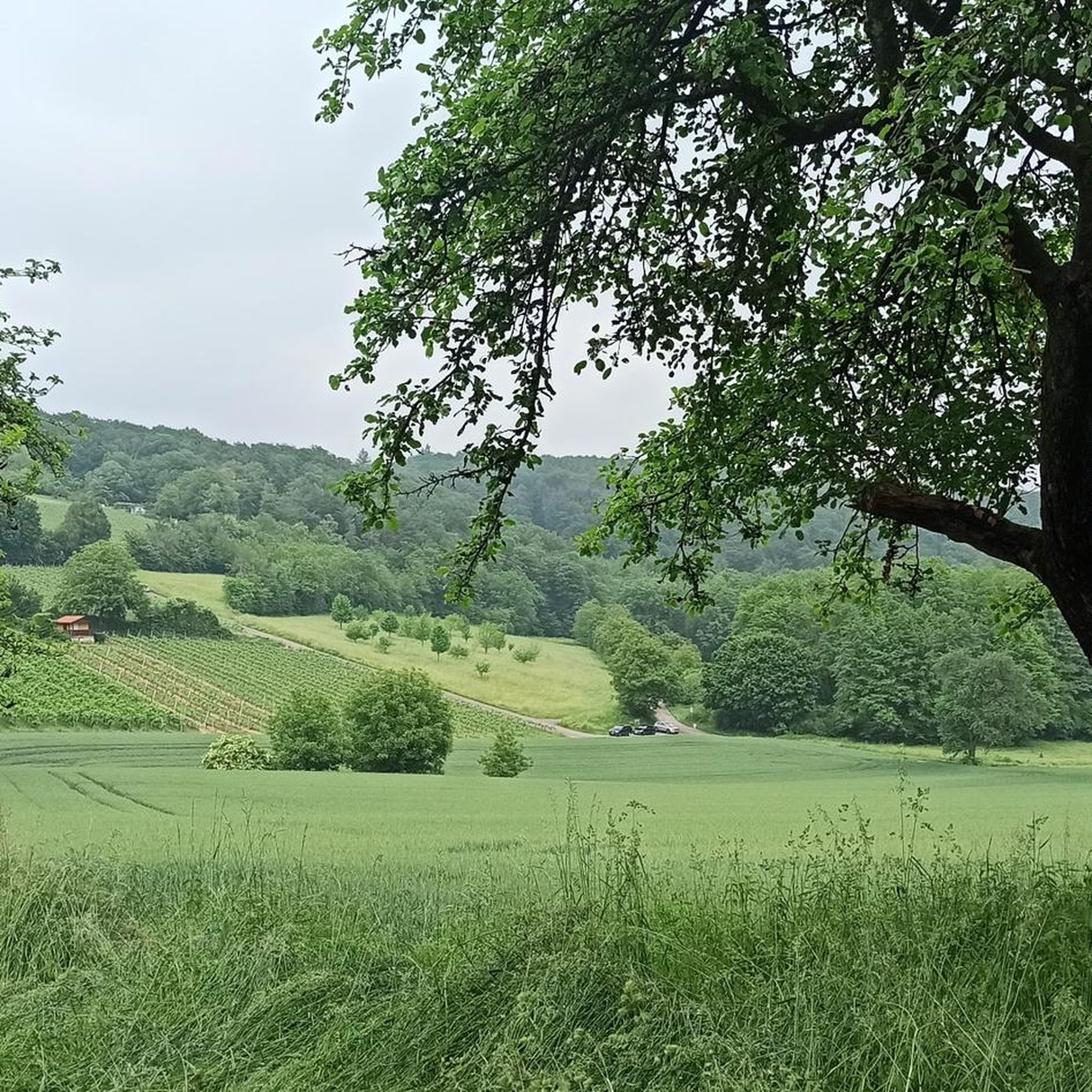
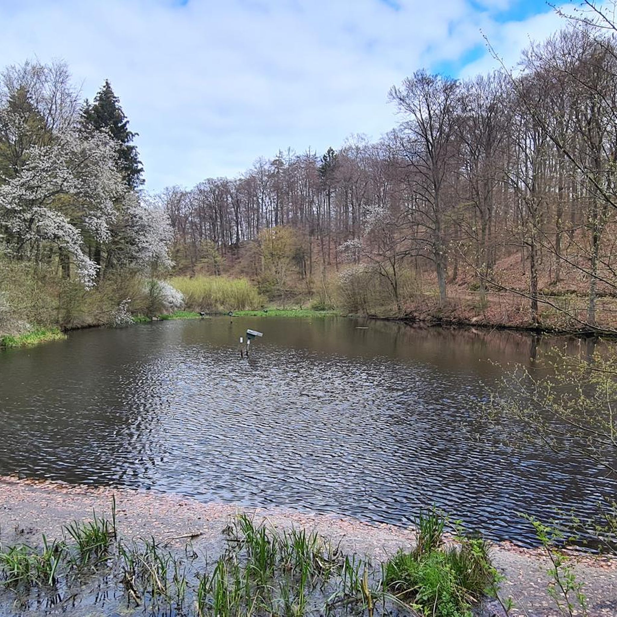
Tips from the Community

The road can be quite busy, especially with trucks and agricultural vehicles. The cycle path was originally built primarily to secure the school route for secondary school students from the region.
1
0

The Wespi Mill, a large, long-serving mill, is still occasionally in use, and the dull pounding of the millstone can be heard from afar. The newer tower now houses a residential building. The highest waterfall in the Töss, located at the confluence of the Vorderer and Hinterer Töss rivers near Steg, was artificially raised for the mill, and its diverted water falls onto a large waterwheel that drives a powerful millstone.
0
0


This route is on excellent smooth pavement with little traffic, except during the rush hour. There are not many fountains nor places for eating on this stretch. The village of Flaach does offer 1 or 2 good restaurants as well a bicycle shop in the village.
0
0

Here you have very beautiful views of the Rhine and the town
0
0
From above the banks of the Rhine you have a wonderful view of the river
0
0

The border crossing into Switzerland leads over a historic wooden bridge worth seeing.
0
0

Very nice, wide cycle path next to the quiet road.
0
0
Frequently Asked Questions
How many no-traffic road cycling routes are available in Dättnauerberg?
There are nearly 100 dedicated no-traffic road cycling routes in Dättnauerberg, offering a wide variety of options for peaceful rides away from busy roads. These routes range from easy to difficult, ensuring there's something for every skill level.
What kind of terrain can I expect on Dättnauerberg's traffic-free road cycling routes?
The routes in Dättnauerberg offer diverse terrain suitable for road cycling. While specific details about the region's landscape are limited, the available routes suggest a mix of moderate climbs and descents, often passing through scenic areas. For example, the Rumstal and Dättnauerstrasse – Eigental Scenic Road loop features varied elevation changes.
Are there any easy, traffic-free road cycling routes for beginners or families in Dättnauerberg?
Yes, Dättnauerberg offers a selection of easy, traffic-free road cycling routes. Out of nearly 100 routes, 12 are classified as easy, making them suitable for beginners or families looking for a relaxed ride. While specific family-friendly amenities aren't detailed, the 'easy' classification implies less challenging terrain.
What are some notable natural features or landmarks I can see along the routes?
While cycling in Dättnauerberg, you can encounter several interesting spots. The Dättnauer Pond is a serene natural feature. You might also come across dedicated cycling infrastructure like the Climb on Regional Cycleway 43 from Winterthur to Kemptal or the Rumstal and Dättnauerstrasse section, which are part of the traffic-free network.
What do other road cyclists say about the traffic-free routes in Dättnauerberg?
The traffic-free road cycling routes in Dättnauerberg are highly regarded by the komoot community, with an average rating of 4.6 out of 5 stars from over 1,000 reviews. Cyclists often praise the peacefulness and the opportunity to enjoy rides away from vehicle traffic.
Are there any longer, more challenging traffic-free road cycling routes for experienced riders?
Yes, for experienced riders seeking longer and more challenging options, Dättnauerberg has 17 routes classified as difficult. An example of a longer route is the Schwandegg Castle – Thur Bridge in Gütighausen loop, which covers over 76 km with significant elevation gain, offering a substantial workout on traffic-free paths.
Can I find circular traffic-free road cycling routes in Dättnauerberg?
Many of the traffic-free road cycling routes in Dättnauerberg are designed as loops, allowing you to start and end your ride in the same location without retracing your steps. The Winterthur Cycleways – Separated Cycle Path loop is a great example of a circular route.
What is the typical duration for a moderate traffic-free road cycling route in Dättnauerberg?
Moderate routes in Dättnauerberg vary in duration depending on distance and elevation. For instance, the View of Rheinau – Seuzach–Neftenbach Cycle Path loop is a moderate route that typically takes around 2 hours and 25 minutes to complete, covering about 54 km.
Are there any routes that offer scenic views or pass by interesting points?
Absolutely. Many routes are designed to showcase the local scenery. The View of Rheinau – Seuzach–Neftenbach Cycle Path loop suggests scenic vistas, and the Thur Bridge – Strickhof Vineyard Wülflingen loop hints at picturesque landscapes, possibly including vineyards.
What is the best way to access these traffic-free routes, for example, from Winterthur?
Many routes in the Dättnauerberg area are accessible from nearby towns like Winterthur. Several routes, such as the Winterthur Cycleways loop, start from Winterthur Töss or Winterthur Wülflingen, making them convenient for those traveling from the city.
Most popular routes in Dättnauerberg
Most popular attractions in Dättnauerberg

Get inspired with the komoot mobile app


Explore more
Browse the best Road cycling routes in other regions.
