The best hikes from bus stations in Döllerer Wald
4.6
(11623)
73,482
hikers
315
hikes
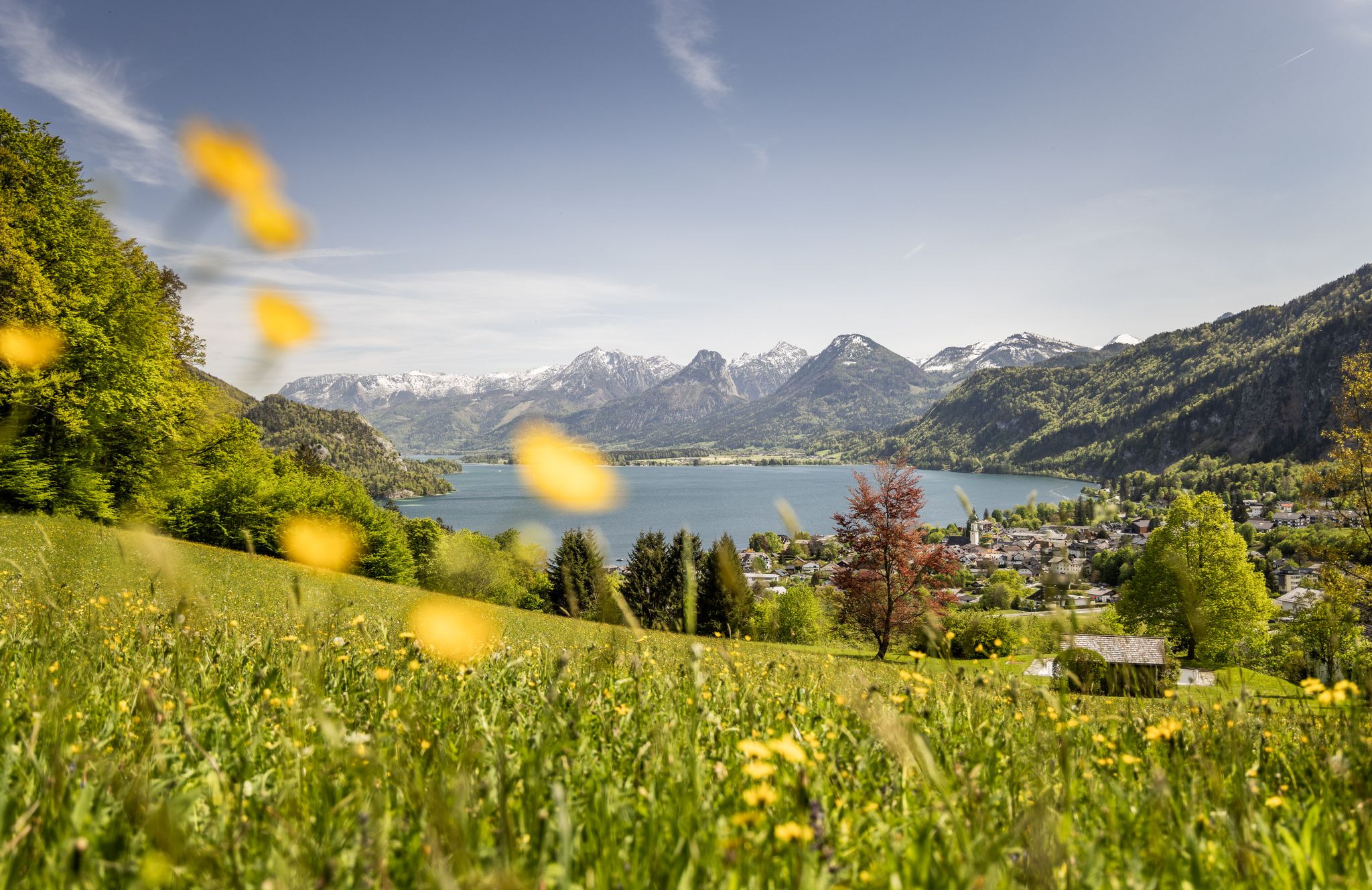
Bus station hiking trails in Döllerer Wald offer diverse opportunities amidst notable landscapes and natural features. The region is characterized by cool forests, alpine pastures like Mittereggalm and Oberwiesalm, and prominent peaks such as Faistenauer Schafberg and Loibersbacher Höhe. These features provide varied terrain and scenic views, including panoramas of the Salzkammergut region's mountains and lakes.
Best bus station hiking trails in Döllerer Wald
- The most popular bus station hiking route is Zwölferhorn Summit – Zwölferhorn Photo Frame loop from…
Last updated: July 6, 2026
4.8
(150)
1,026
hikers
Hard hike. Very good fitness required. Mostly accessible paths. Sure-footedness required.
4.7
(83)
493
hikers
11.6km
04:21
710m
710m
Moderate hike. Good fitness required. Mostly accessible paths. Sure-footedness required.

Sign up for free
4.8
(12)
128
hikers
6.53km
02:02
250m
250m
Moderate hike. Good fitness required. Easily-accessible paths. Suitable for all skill levels.
4.7
(15)
64
hikers
14.9km
05:21
790m
790m
Hard hike. Very good fitness required. Mostly accessible paths. Sure-footedness required.
4.7
(12)
64
hikers
Hard hike. Very good fitness required. Mostly accessible paths. Sure-footedness required.
Get access to more routes and recommendations from other explorers.
Sign up for free
Already have an account?
Our route recommendations are based on thousands of hikes, rides, and runs completed by other people on komoot.
Start today with a free account
Your next adventure awaits.
Login or Signup
Popular around Döllerer Wald
Other adventures in Döllerer Wald

Tips from the Community

The combination of mountain and lake view is simply brilliant
0
0

The Pillsteinhöhe is located at an altitude of 1,478 meters and can be reached on foot, by bike, by ski or by the Zwölferkopf cable car.
0
0

Beautiful view of Lake Wolfgang and the Schafberg!
0
0


View from the Zwölferhorn, steep ascent, but worth it
0
0

Very nice, uncomplicated hike. Good shoes and a snack and you're ready to go.👌
1
0

This inn offers you a brilliant place to relax. In addition to the friendly staff, there is a fantastic view and delicious food. The baked mice are particularly recommended. If you would like to stay longer, you can also spend the night next door in the Schafbachalm.
0
0

You can see the Zwölferkogel almost close enough to touch.
0
0
Frequently Asked Questions
How many bus station hiking trails are available in Döllerer Wald?
There are over 300 hiking trails in Döllerer Wald that are accessible directly from bus stations, offering a wide range of options for car-free adventures. These include 88 easy, 140 moderate, and 76 difficult routes.
Are there any easy or moderate bus-accessible hikes suitable for beginners?
Yes, Döllerer Wald offers numerous easy and moderate trails starting from bus stops. For a moderate option, consider the Schafbach Stream – Hatznalm loop from Tiefbrunnau Keflaubrücke, which is about 6.5 km long and takes around 2 hours. This route leads to the welcoming Hatznalm, a great spot for a break.
What kind of scenic viewpoints can I expect on bus-accessible trails in Döllerer Wald?
Many trails offer stunning panoramic views. The region is known for peaks like Schafberg (Faistenau), which provides incredible vistas of the Salzkammergut mountains and lakes, including Wolfgangsee and Fuschlsee. The glacier fields of the Dachstein are also visible from higher points. Routes like the Lanznhütte – Schafberg (Faistenau) loop from Tiefbrunnau Keflaubrücke offer opportunities to experience these views.
Are there any circular hiking routes that start and end at a bus station?
Yes, several circular routes are available. For example, the Zwölferhorn Summit – Zwölferhorn Photo Frame loop from Tiefbrunnau Laimerbauer is a challenging circular hike that brings you back to your starting point. The region also features other loops that pass through diverse landscapes like forests and alpine pastures.
What are some notable landmarks or natural features to see along the trails?
Hikers can explore several natural features and landmarks. The Schafberg (Faistenau) is a prominent summit offering expansive views. You'll also encounter charming alpine pastures like Mittereggalm and Huts on the Oberwiesalm, which are often part of the hiking experience. Mountain huts such as Hatznalm and Lanznhütte serve as excellent resting points.
What do other hikers enjoy most about the bus-accessible trails in Döllerer Wald?
The trails in Döllerer Wald are highly rated by the komoot community, with an average score of 4.56 stars from over 11,000 ratings. Hikers frequently praise the diverse landscapes, from cool forests to open alpine pastures, and the rewarding panoramic views from summits like Faistenauer Schafberg.
Are there any mountain huts or places to eat along the bus station hiking routes?
Yes, several mountain huts provide refreshments and resting spots. The Hatznalm is a popular choice, known for its food, drinks, and fantastic views. Other huts like Lanznhütte and those on the Oberwiesalm also offer hospitality along various routes.
What is the best time of year to hike from bus stations in Döllerer Wald?
The Döllerer Wald region is enjoyable for hiking from spring through autumn, when trails are generally clear and weather is pleasant. In winter, some higher routes, such as those leading to Loibersbacher Höhe, are also popular for snowshoeing and ski touring, but require appropriate gear and conditions.
Are there any challenging bus-accessible hikes for experienced hikers?
Yes, experienced hikers will find several difficult routes. The Lanznhütte – Schafberg (Faistenau) loop from Tiefbrunnau Schönau is a demanding option, covering nearly 15 km with significant elevation gain. Another challenging route is the Zwölferhorn summit cross – Zwölferhorn Photo Frame loop from Tiefbrunnau Laimerbauer.
Can I bring my dog on the bus-accessible hiking trails in Döllerer Wald?
Generally, dogs are welcome on hiking trails in Döllerer Wald. However, it's always advisable to keep them on a leash, especially in areas with livestock or wildlife, and to check specific regulations for any protected areas you might pass through. Ensure your dog is fit for the chosen trail's difficulty and duration.
Are there family-friendly bus-accessible walks in Döllerer Wald?
Yes, Döllerer Wald offers a selection of easier trails that are suitable for families. These paths often lead through forests and across gentle alpine pastures, providing a pleasant experience for all ages. Look for routes categorized as 'easy' for the most family-friendly options.
Most popular routes in Döllerer Wald
Most popular attractions in Döllerer Wald

Get inspired with the komoot mobile app


Explore more
Browse the best Hikes in other regions.
