The best traffic-free bike rides in Almindingen
4.7
(91)
2,373
riders
98
rides
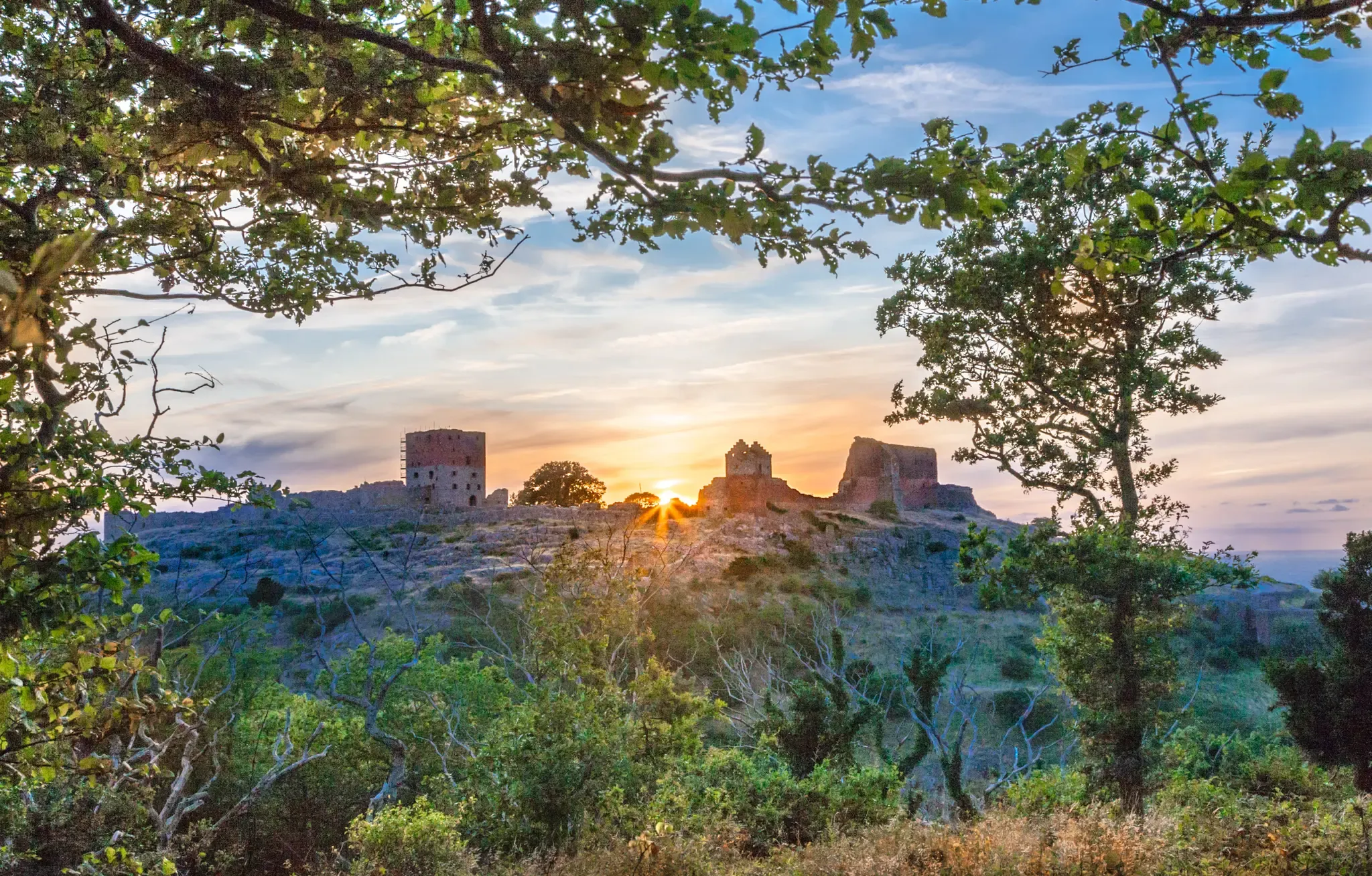
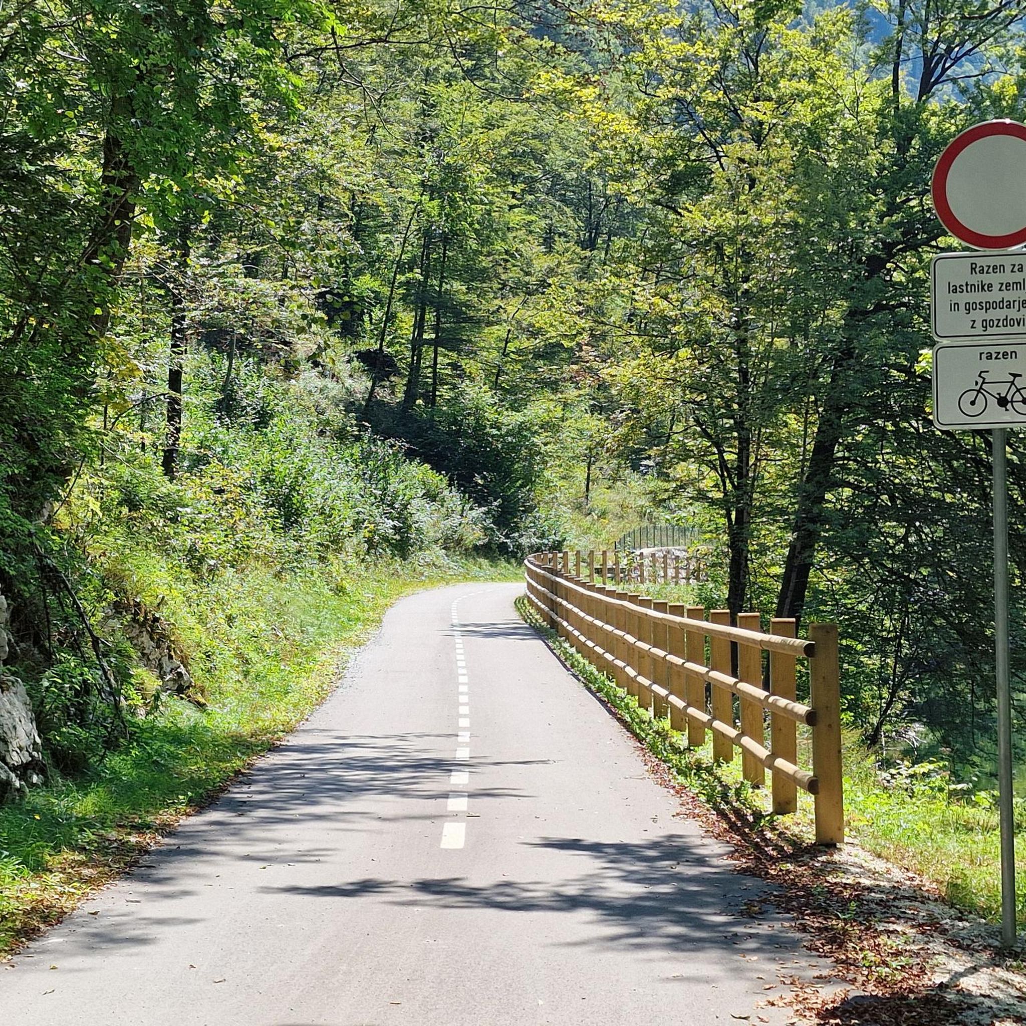
Almindingen no traffic road cycling routes traverse one of Denmark's largest forests, offering diverse landscapes for cyclists. The region features a mix of original mixed woods, oak, spruce, and beech-lined paths, providing varied terrain. Notable geological features include the prominent Ekkodalen rift valley and hilly sections, with Bornholm's highest point, Rytterknægten, located within the forest. The bedrock consists of 1.4-billion-year-old granite, visible as rock walls and boulders, contributing to a distinct Nordic character.
Best no traffic road cycling routes in…
Last updated: July 6, 2026
4.4
(5)
64
riders
44.1km
01:44
160m
160m
Easy road ride. Great for any fitness level. Mostly well-paved surfaces and easy to ride.
11
riders
104km
04:13
500m
500m
Moderate road ride. Good fitness required. Some segments of this route may be unpaved and difficult to ride.

Sign up for free
2
riders
47.5km
02:00
260m
260m
Moderate road ride. Great for any fitness level. Some segments of this route may be unpaved and difficult to ride.
4
riders
17.5km
00:42
90m
90m
Easy road ride. Great for any fitness level. Mostly well-paved surfaces and easy to ride.
8
riders
19.9km
00:48
90m
90m
Easy road ride. Great for any fitness level. Mostly well-paved surfaces and easy to ride.
Get access to more routes and recommendations from other explorers.
Sign up for free
Already have an account?
Our route recommendations are based on thousands of hikes, rides, and runs completed by other people on komoot.
Start today with a free account
Your next adventure awaits.
Login or Signup


Tips from the Community


Bornholm's largest harbor, with all the amenities you could wish for
0
0

One of the four round churches on the island. It is estimated to have been built around the year 1200.
0
0

Rønne Bagfyr Lighthouse When entering the port of Rønne by ferry, the white lighthouse can be seen from afar. It stands elevated above the harbor basin. The tower has an octagonal floor plan, is made of iron, and is a replica of the lighthouse in the port of Ystad in southern Sweden. The lighthouse was active until 1989 and served as a leading light at the harbor entrance. It had been in operation since 1880. The lighthouse was 24 meters high, and the tower itself is 12 meters tall. https://www.bornholm-ferien.de/leuchttuerme-bornholm.php
2
2

On the cycleway between Rønne and Dueodde you can enjoy a very Bornholm panorama: quiet coastline, vast farmland and little traffic will be the perfect teammates for your journey.
0
0

The Rønne Bag lighthouse has an octagonal shape made of iron and served as a guiding light at the harbour entrance.
0
0

The small harbor with its beautiful colorful huts
0
0
Also a very well preserved church.
0
0
Frequently Asked Questions
How many no-traffic road cycling routes are available in Almindingen?
Almindingen offers a wide selection of car-free road cycling routes, with over 100 tours available. These routes range in difficulty, ensuring there's something for every cyclist, from easy rides to more challenging excursions.
What kind of terrain can I expect on no-traffic road cycling routes in Almindingen?
The no-traffic routes in Almindingen feature diverse terrain. While the forest is generally 100 meters above sea level, the western half is notably hilly, including Bornholm's highest point, Rytterknægten. You'll encounter a mix of paved roads and forest tracks, with varied elevation changes that make for engaging rides.
Are there any family-friendly no-traffic road cycling routes in Almindingen?
Yes, Almindingen has numerous easy, car-free routes suitable for families. For instance, the Aa Church – Aakirkeby Town Square loop from Aakirkeby is an easy option, covering about 17.5 km with minimal elevation gain, perfect for a relaxed family outing.
What natural features or landmarks can I see along the no-traffic road cycling routes?
Almindingen is rich in natural beauty and historical sites. You can cycle past the dramatic Ekkodalen Valley, explore the ancient Gamleborg Viking Fortress, or even spot European bison in Bisonskoven (Bison Forest). Don't miss the panoramic views from the Kongemindet Observation Tower on Rytterknægten.
Are there any circular no-traffic road cycling routes in Almindingen?
Many of the no-traffic road cycling routes in Almindingen are designed as loops, allowing you to start and end at the same point. An example is the moderate Svaneke Harbour – Balka–Nexø Cycle Path loop from Aakirkeby, offering a comprehensive tour of the area's car-free paths.
What is the best time of year to enjoy car-free road cycling in Almindingen?
Almindingen is beautiful year-round, but the spring and summer months (May to September) generally offer the most pleasant weather for road cycling. The forest is lush, and the longer daylight hours provide ample time to explore the car-free routes. Autumn also offers stunning foliage for a scenic ride.
What do other road cyclists enjoy most about the no-traffic routes in Almindingen?
The komoot community highly rates the no-traffic road cycling experience in Almindingen, with an average score of 4.7 stars. Reviewers often praise the tranquility of the car-free paths, the diverse landscapes from deep forests to rift valleys, and the opportunity to discover unique attractions like the European bison.
Are there any longer no-traffic road cycling routes for experienced cyclists?
Yes, for experienced cyclists looking for a longer challenge, there are moderate to difficult no-traffic routes available. The Svaneke Harbour – Balka–Nexø Cycle Path loop from Aakirkeby, for instance, covers over 100 km with significant elevation gain, providing a rewarding ride away from traffic.
Where can I find parking for no-traffic road cycling routes in Almindingen?
Almindingen, being a central and popular area, has various parking options at its entrances and near key attractions. Many routes, like the Snogebæk Smokehouse – Balka–Nexø Cycle Path loop from Aakirkeby, often start from towns like Aakirkeby, where public parking is available, allowing easy access to the car-free network.
Can I reach the no-traffic road cycling routes in Almindingen by public transport?
Bornholm has a public bus network (BAT) that connects various towns, including those bordering Almindingen. While direct access to every car-free path might require a short ride from a bus stop, you can often reach starting points for routes, such as those originating from Aakirkeby, via public transport. Check local bus schedules for the most up-to-date information.
Are there any easy no-traffic road cycling routes for beginners in Almindingen?
Absolutely. Almindingen offers a good selection of easy, car-free routes perfect for beginners. The Rønne Lighthouse – Rønne's Smallest House loop from Aakirkeby is an easy 46.6 km route with manageable elevation, providing a gentle introduction to road cycling in the area without traffic.
Most popular routes in Almindingen
Most popular attractions in Almindingen

Get inspired with the komoot mobile app


Explore more
Browse the best Road cycling routes in other regions.
