The best hikes from bus stations in Gruitroderbos
4.4
(8493)
51,175
hikers
635
hikes
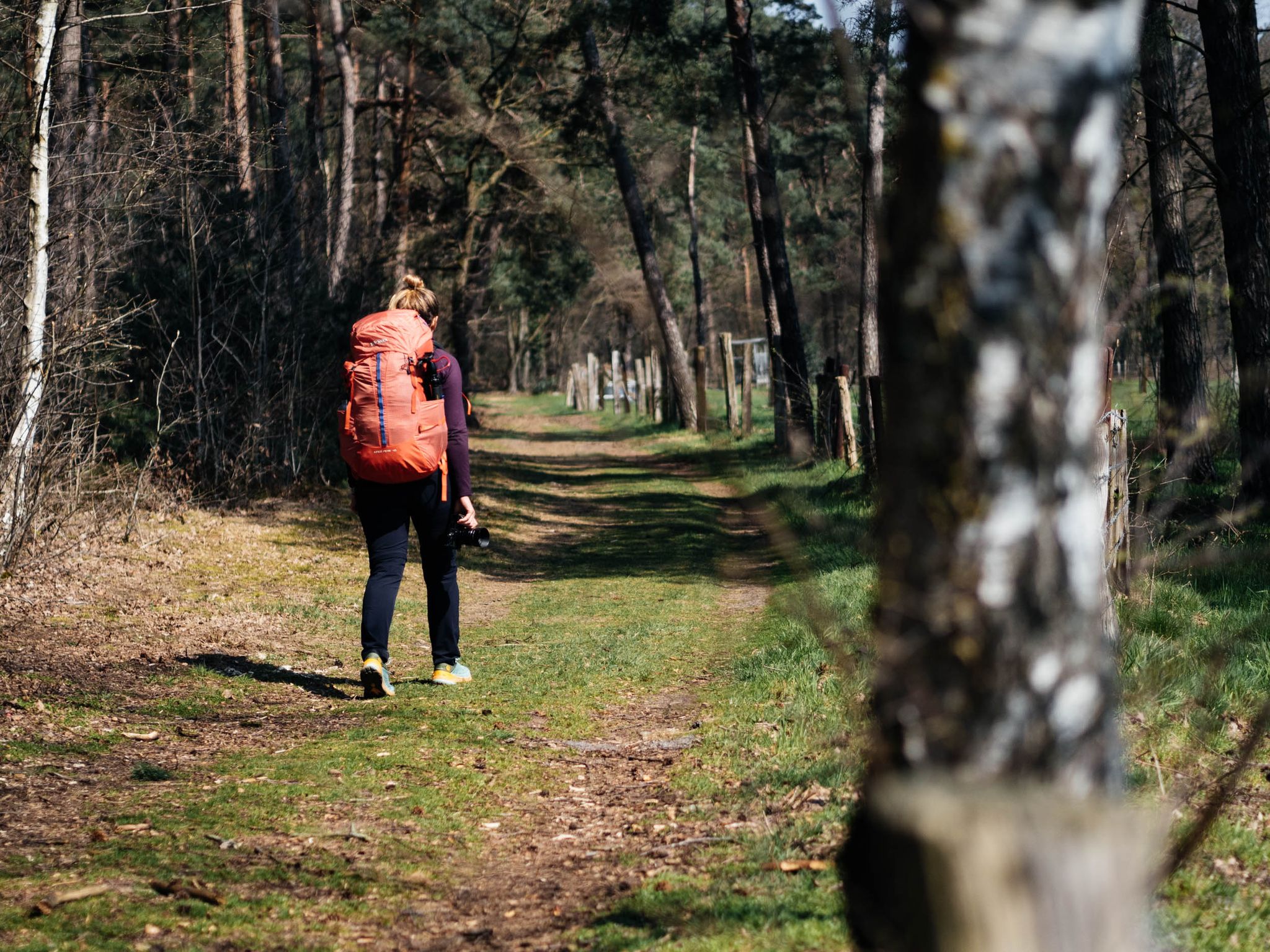
Bus station hiking trails in Gruitroderbos traverse a landscape characterized by expansive sand dunes, notably the Oudsberg, which offers panoramic views. The region features diverse terrain including extensive heathlands that bloom vibrantly, and dense forests, some of which are coniferous. Hikers can also explore wetlands and valleys, such as the Itterbeek Valley, contributing to varied natural scenery. This area is part of the larger Hoge Kempen National Park, providing a rich natural environment for outdoor activities.
Best bus station hiking…
Last updated: July 6, 2026
5.0
(1)
12
hikers
3.53km
00:54
10m
10m
Easy hike. Great for any fitness level. Easily-accessible paths. Suitable for all skill levels.
8
hikers
4.60km
01:10
10m
10m
Easy hike. Great for any fitness level. Easily-accessible paths. Suitable for all skill levels.

Sign up for free
4.5
(2)
6
hikers
7.67km
01:57
20m
20m
Easy hike. Great for any fitness level. Easily-accessible paths. Suitable for all skill levels.
4.7
(6)
39
hikers
Moderate hike. Good fitness required. Easily-accessible paths. Suitable for all skill levels.
4.2
(6)
33
hikers
Easy hike. Great for any fitness level. Easily-accessible paths. Suitable for all skill levels.
Get access to more routes and recommendations from other explorers.
Sign up for free
Already have an account?
Our route recommendations are based on thousands of hikes, rides, and runs completed by other people on komoot.
Start today with a free account
Your next adventure awaits.
Login or Signup



Tips from the Community

Very nice forest chapel to rest for a while
0
0
Beautiful sand dunes with heather, relatively small but well worth it. A highlight of our walk.
1
0
Beautiful sand dunes with heather, relatively small but well worth it. A highlight of our walk.
0
0
A beautiful woodland chapel with a few benches inside for relaxing and unwinding. Next to it is a lovely building especially for birds.
0
0

The church of Opoeteren was a relatively late foundation of the Counts of Loon, probably dating from the 12th century. In 1274, a Gothic choir was added to the existing church. The current nave probably dates from the 15th century. In 1522, aisles were added to the nave; in 1571, the tower was rebuilt and the north chapel added, both in late Gothic style. In 1905-06, under Pastor D. Verdurmen, the church, except for the nave, the tower, and the north chapel, was demolished and rebuilt in the Neo-Gothic style by V. Lenertz (Leuven) and H. Martens (Stevoort). The tower was raised six meters. (Inventory of Immovable Heritage)
1
0
Walking information ready to use, can be viewed at the edge of the Kerkplein car park.
10
0

There are many boardwalks along the Bosbeek
1
0
Frequently Asked Questions
How many hiking trails are accessible directly from bus stations in Gruitroderbos?
Gruitroderbos offers a wide selection of hiking trails starting conveniently from bus stations. You can find over 570 routes, ranging from easy strolls to more challenging treks, making it simple to explore the region without a car.
What natural features and landmarks can I expect to see on bus-accessible hikes in Gruitroderbos?
Many trails from bus stations lead you through the diverse landscapes of Gruitroderbos. You can explore the impressive Oudsberg Sand Dune, the largest open sand dune in Flanders, offering panoramic views. The area also features extensive heathlands, especially vibrant during blooming seasons, and dense forests. Keep an eye out for the Our Lady of the Woods Shrine (Mariaberg) or the Forest Chapel of Our Lady of Rest, adding cultural interest to your natural exploration.
Are there any easy, family-friendly hikes from bus stops in Gruitroderbos?
Yes, Gruitroderbos has many easy routes perfect for families. For a gentle walk, consider the Commanderij van Gruitrode loop from Neerglabbeek, which is just 4.6 km with minimal elevation gain. Another accessible option is the St. Gertrude's Church Gruitrode – Commanderij van Gruitrode loop from Gruitrode, a 5.1 km route that also offers an easy experience.
Can I find circular hiking routes that start and end at a bus station?
Absolutely. Many of the bus-accessible trails in Gruitroderbos are circular, allowing you to return to your starting point without retracing your steps. For example, the Our Lady at the tree – Oudsberg Sand Dune loop from Opoeteren is a moderate 8.3 km circular route that takes you to the prominent sand dune.
What is the best time of year to go hiking in Gruitroderbos?
Gruitroderbos offers beautiful hiking experiences year-round. Spring brings fresh greenery and blooming wildflowers, while autumn transforms the forests with vibrant colors. The heathlands are particularly stunning in late summer (August-September) when they bloom in purple. Even in winter, the unique landscapes, especially the sand dunes, offer a serene and distinct charm.
Are dogs allowed on the hiking trails in Gruitroderbos?
Gruitroderbos is generally dog-friendly, with many trails welcoming well-behaved dogs, often on a leash. It's always a good idea to check specific trail regulations or local signage, especially in nature reserve areas, to ensure a pleasant experience for everyone and to protect the local wildlife.
Are there any longer or more challenging hikes accessible by bus?
Yes, for those seeking a longer challenge, the Oudsberg Inland Dune – Oudsberg Dune loop from Gruitrode is a difficult 20.7 km route with significant elevation changes, offering an immersive experience in the dune landscape. Another moderate option is the Small bridge over the stream – Bosbeek Valley Nature Trail loop from Neerglabbeek, covering 15.6 km.
What kind of wildlife might I spot while hiking in Gruitroderbos?
Gruitroderbos and the wider Hoge Kempen National Park are rich in biodiversity. Hikers might encounter various bird species, including rare ones like the red-backed shrike or nightjar, and birds of prey such as buzzards. The diverse habitats also support insects like the brook damsel and red wood ant, and even amphibians or reptiles like the smooth snake. Keep a respectful distance and observe quietly.
What do other hikers enjoy most about hiking in Gruitroderbos?
The komoot community highly rates hiking in Gruitroderbos, with an average score of 4.4 stars. Reviewers often praise the unique combination of expansive sand dunes, vibrant heathlands, and peaceful forests. The well-maintained network of trails and the ease of access via public transport are also frequently highlighted as major positives.
Where can I find more information about the Hoge Kempen National Park, which Gruitroderbos is part of?
For more general information about the Hoge Kempen National Park and other beautiful nature reserves in Belgian Limburg, you can visit the official tourism website: visitlimburg.be. This can provide broader context about the region's natural beauty and offerings.
Most popular routes in Gruitroderbos
Most popular attractions in Gruitroderbos

Get inspired with the komoot mobile app


Explore more
Browse the best Hikes in other regions.
