The best hikes from bus stations in Krähe
4.6
(692)
3,190
hikers
266
hikes
Bus station hiking trails in Krähe offer access to the diverse landscapes of the Ammergau Alps in Bavaria, Germany. The region is characterized by its varied terrain, including shaded forests, sunny meadows, and rocky formations, with the Krähe Summit reaching 2,010 meters. Hikers can experience panoramic views of surrounding lakes like Forggensee and Bannwaldsee, as well as distant views of iconic landmarks such as Neuschwanstein Castle. The area provides a mix of accessible paths and more challenging mountain trails.
Best…
Last updated: July 6, 2026
4.9
(32)
92
hikers
Moderate hike. Good fitness required. Easily-accessible paths. Suitable for all skill levels.
4.4
(20)
67
hikers
9.18km
02:23
50m
50m
Moderate hike. Good fitness required. Easily-accessible paths. Suitable for all skill levels.

Sign up for free
4.8
(12)
32
hikers
Moderate hike. Good fitness required. Easily-accessible paths. Suitable for all skill levels.
5.0
(9)
25
hikers
Easy hike. Great for any fitness level. Easily-accessible paths. Suitable for all skill levels.
4.8
(8)
21
hikers
Easy hike. Great for any fitness level. Easily-accessible paths. Suitable for all skill levels.
Get access to more routes and recommendations from other explorers.
Sign up for free
Already have an account?
Our route recommendations are based on thousands of hikes, rides, and runs completed by other people on komoot.
Start today with a free account
Your next adventure awaits.
Login or Signup
Popular around Krähe
Other adventures in Krähe

Tips from the Community

The stone has been here for about 200,000 years
3
0
The explanatory panel is very informative
4
0

Megalithic tomb built from ice-age boulders in the Neolithic period
5
0
several burial mounds from the Bronze Age, ca. 1500 - 1200 BC
2
0
approx. 330 tons greetings from Scandinavia
4
0

The hut was uninviting and even creepy - we moved on...
0
0

In the pavilion you will find shade and protection from rain and wind. If you prefer to sit outdoors, you can use the special round table.
1
0

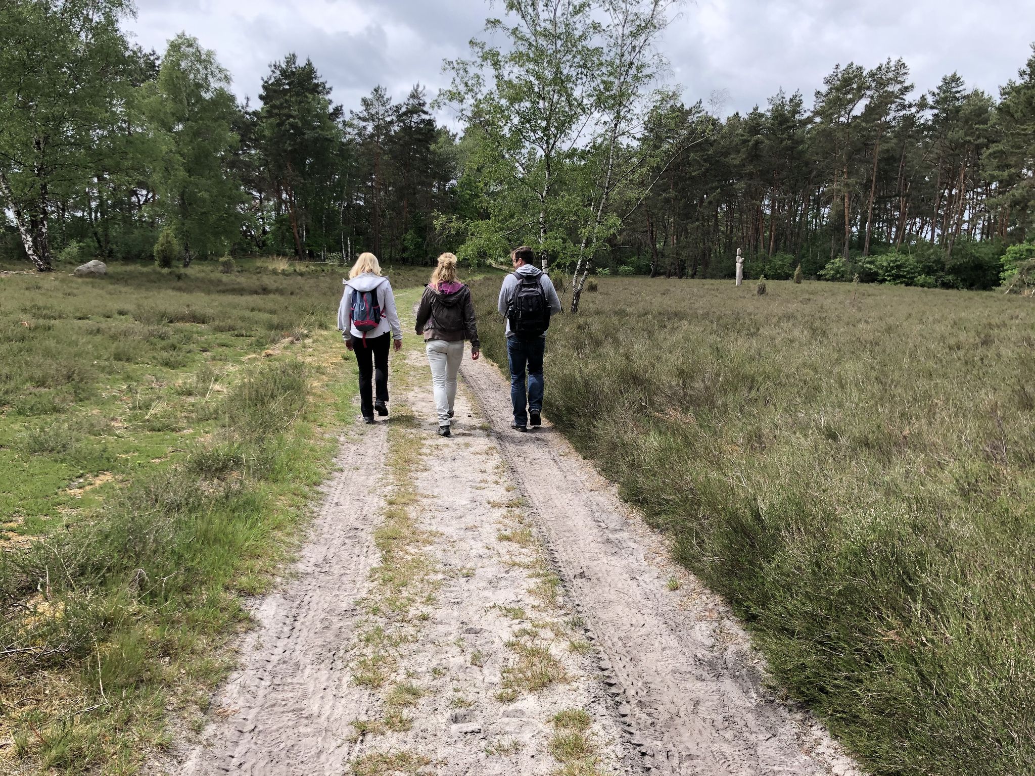
The Kräher Höhe is a recultivated and naturally modelled part of the former central landfill in Nineburg. Hikers, Nordic walkers and strollers are particularly active here.
1
0
Frequently Asked Questions
How many bus station hiking trails are available in Krähe?
There are over 260 hiking trails in Krähe that are easily accessible from bus stations. This includes a wide range of options, with 172 easy routes, 84 moderate routes, and 7 more challenging trails.
Are there family-friendly hiking routes accessible by bus in Krähe?
Yes, Krähe offers many family-friendly options. With 172 easy routes available, you'll find plenty of trails suitable for all ages. An example is the Heath Path in Krähenmoor – Bunkenmoor Shelter loop from Krähenmoor, which is an easy 6.1 km hike.
Can I find circular hiking routes starting from bus stations in Krähe?
Absolutely. Many of the bus-accessible trails in Krähe are circular, allowing you to return to your starting point without needing additional transport. For instance, consider the Bunkenmoor Nature Reserve – Heath Path in Krähenmoor loop from Landkreis Nienburg/Weser or the Heath Path in Krähenmoor – Krähenmoor II Nature Reserve loop from Stöckse.
What kind of natural attractions can I see along these bus-accessible routes?
The Krähe region, nestled within the Ammergau Alps, offers diverse natural beauty. You can explore areas like the Bunkenmoor Nature Reserve and the Krähenmoor II Nature Reserve. Hikers can also discover unique geological features such as the Giebichenstein Boulder and enjoy views of Stöckser Lake.
Are there any historical or cultural landmarks to explore near the bus station trails?
Yes, beyond natural sights, the area has some interesting landmarks. You might encounter the Bürkenmann Boulder – Storm 1972 Memorial or the unique structure known as The monk (overflow protection in the Bunkenmoor-Krähenmoor). The region also offers distant views of iconic Bavarian castles like Neuschwanstein from higher vantage points.
What is the best time of year to hike from bus stations in Krähe?
The Ammergau Alps region around Krähe is beautiful year-round. While summer offers lush greenery and longer daylight hours, late autumn is particularly recommended for its stunning colors and clear views, especially on trails like the round tour ascending Krähe and descending via the Gabelschrofensattel.
Are there any easy beginner hiking routes from Krähe bus stations?
Yes, Krähe is very beginner-friendly with 172 easy routes accessible by bus. A great option for beginners is the Giebichenstein Megalithic Tomb – Giebichenstein Glacial Erratic loop from Landkreis Nienburg/Weser, an easy 7.6 km trail that allows you to experience the local landscape.
What do other hikers enjoy most about the bus-accessible trails in Krähe?
The bus-accessible trails in Krähe are highly rated by the komoot community, with an average score of 4.6 stars from over 640 reviews. Hikers frequently praise the accessibility of these routes, the peaceful natural reserves, and the diverse landscapes ranging from shaded forests to open meadows.
Are there moderate difficulty hikes available from bus stations in Krähe?
Yes, for those looking for a bit more challenge, there are 84 moderate difficulty routes accessible by bus. An excellent example is the Giebichenstein Glacial Erratic – Giebichenstein Megalithic Tomb loop from Stöckse, a 9 km route that offers a rewarding experience.
Are there any viewpoints on hikes accessible by bus in Krähe?
Many trails in the Krähe area offer fantastic viewpoints. From various spots, you can enjoy expansive views of surrounding lakes like Forggensee, Bannwaldsee, and Alpsee. Higher points, including the Krähe Summit itself, provide panoramic vistas of the Ammergau Alps and even glimpses of iconic landmarks like Neuschwanstein Castle.
Most popular routes in Krähe
Most popular attractions in Krähe

Get inspired with the komoot mobile app


Explore more
Browse the best Hikes in other regions.
