The best hikes from bus stations around Železniki
4.5
(7037)
42,625
hikers
11
hikes
Hiking around Železniki offers diverse terrain characterized by lush forests, rolling hills, and crystal-clear streams. The region features prominent natural landmarks such as the Velika Planina and Jelovica Plateaus, along with peaks like Ratitovec and Blegoš, providing varied elevation and expansive views. Trails often traverse meadows, dense woodlands, and river valleys, making it suitable for different hiking preferences.
Best bus station hiking trails around Železniki
- The most popular bus station hiking route is Nemilje – Jamnik loop from Nemilje,…
Last updated: October 9, 2026
4.5
(2)
19
hikers
15.4km
05:09
680m
680m
Hard hike. Very good fitness required. Mostly accessible paths. Sure-footedness required.
4.3
(3)
20
hikers
6.13km
02:12
390m
390m
Moderate hike. Good fitness required. Easily-accessible paths. Suitable for all skill levels.

4.0
(2)
10
hikers
9.30km
03:01
390m
390m
Moderate hike. Good fitness required. Easily-accessible paths. Suitable for all skill levels.
11
hikers
10.3km
03:26
490m
490m
Moderate hike. Good fitness required. Easily-accessible paths. Suitable for all skill levels.
6
hikers
6.79km
02:19
350m
350m
Moderate hike. Good fitness required. Mostly accessible paths. Sure-footedness required.
Get access to more routes and recommendations from other explorers.
Already have an account?
Our route recommendations are based on thousands of hikes, rides, and runs completed by other people on komoot.
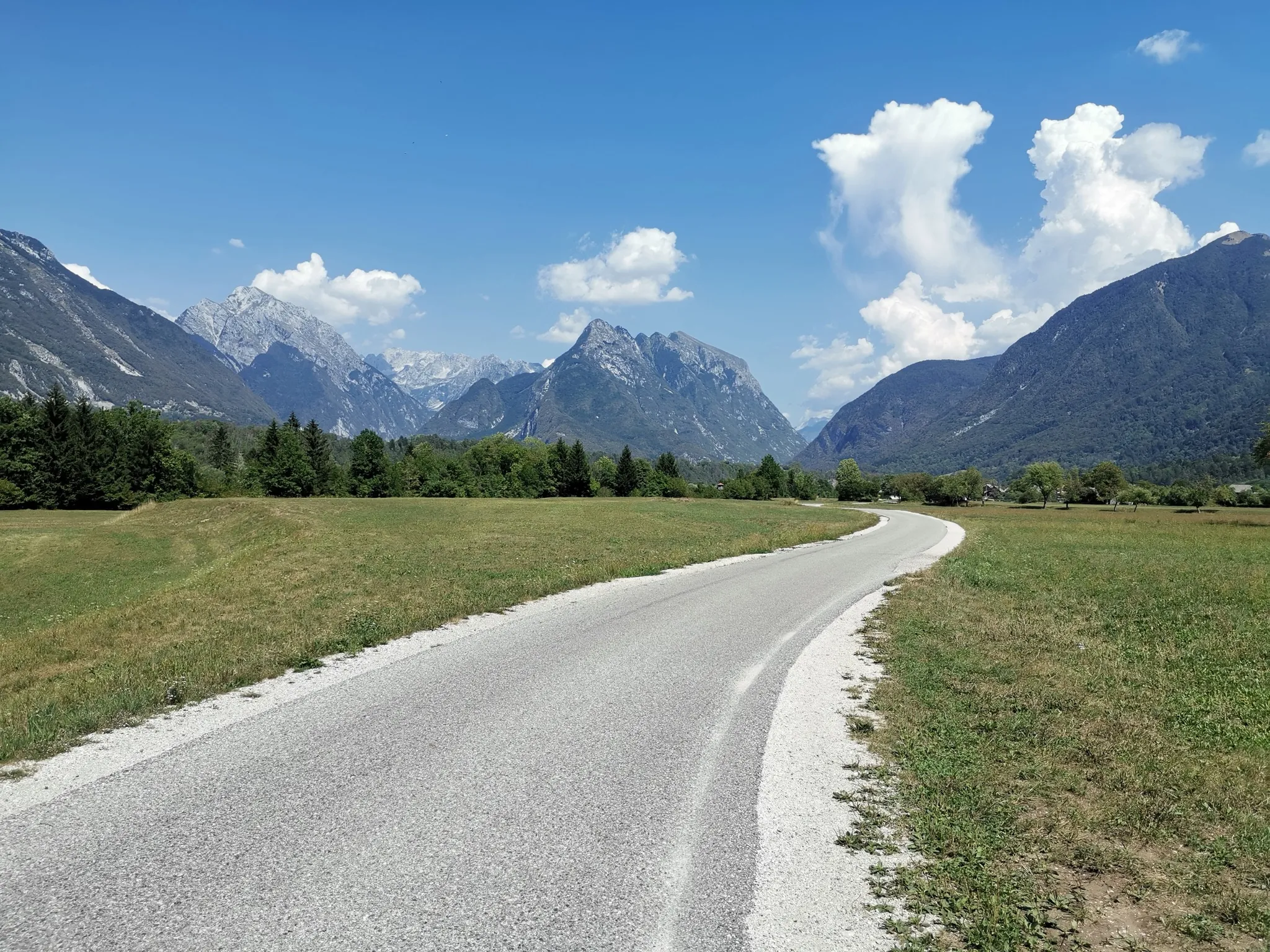
Other adventures around Železniki

Tips from the Community

Extremely nice place, but take some booze with you, because it is quite expensive here.
0
0

Jamnik - one of the most fotogenic churches in Slovenua
1
0

Church of St. Primož and Felicijan, Jamnik Catholic Church of St. Primož and Felicijan Kirche der Hl. Primož und Felician, Jamnik Erwähnt erstmals 1501 Jamnik (831 m) – Balkon von Gorenjska
13
0

Church of St. Primus and Felician at the village Jamnik above Kropa
0
0

I love this church. This was one of the top 5 highlights on our west Slovenia bikepacking tour. We had great views of the valley below and the mountains. A nice spot for a lunch/snack, and we had beers with us.
2
1

The approach to the Church of St. Primus and Felicianus is wonderfully scenic. Mountain views of the Karawanks and the Kamnik-Savinja Alps reveal themselves from the ridge. The track here is well paved and makes for a pleasant stroll to the very summit of Jamnik.
0
0
Nemilje is an excellent starting point for a hike up to the gothic Church of St Primus and Felicianus on the summit of Jamnik hill. Nestled in the Upper Carniola, the settlement can be reached by bus or there's car parking at the start of the trail towards Jamnik.
0
0
Surely one of the most picturesque places in Slovenia, the gothic Church of St Primus and Felicianus stands proud on the top of the hill, backed by splendid views of the Ljubljana basin, the Karawanks and the Kamnik-Savinja Alps. There are quite a few trails to reach this marvellous viewpoint, including a short ascent from the village of Jamnik, or a longer approach from Nemilje, to the south.
1
0
Frequently Asked Questions
How many bus-accessible hiking trails are available around Železniki?
There are over 240 hiking routes around Železniki that are accessible from bus stations, offering a wide variety of options for all skill levels.
What is the best time of year to hike near Železniki bus stations?
The region is beautiful year-round, but spring and autumn offer particularly pleasant conditions with mild temperatures and vibrant scenery. Summer is also popular, though trails can be busier. Winter hiking is possible, especially on lower elevation trails, but requires appropriate gear and caution.
Are there easy hikes suitable for beginners directly from Železniki bus stops?
Yes, Železniki offers many easy hikes perfect for beginners or those looking for a relaxed stroll. These often stay within two hours and 1,000 feet of elevation gain. For example, the Jamnik ridge – Jamnik loop from Jamnik is a shorter, moderate option that is easily accessible.
Can I find circular hiking routes that start and end at a bus station?
Absolutely. Many routes are designed as loops, allowing you to start and finish your hike at the same bus stop. An example is the Nemilje – Jamnik loop from Nemilje, which offers a moderate challenge.
Are dogs allowed on the hiking trails accessible from bus stations?
Generally, dogs are welcome on most hiking trails in the Železniki region. However, it's always recommended to keep them on a leash, especially in areas with livestock or wildlife, and to clean up after them. Specific restrictions might apply in certain protected areas, so always check local signage.
What kind of landscapes can I expect to see on these bus-accessible trails?
The trails around Železniki offer diverse landscapes, from lush forests and rolling hills to crystal-clear streams. You can expect breathtaking vistas of snow-capped peaks, verdant meadows, and panoramic views stretching across the Škofja Loka and Cerklje hills, and even towards the Julian Alps.
Are there any notable viewpoints or landmarks along the bus-accessible routes?
Yes, the region is rich in scenic viewpoints and historical landmarks. You might encounter sites like the Dražgoše Partisan Memorial or enjoy expansive views from peaks like Slatnik Peak. Some routes also pass by old military bunkers and fortifications, such as those near Možic Summit.
Are there family-friendly hiking options accessible by bus in Železniki?
Many of the easier trails are suitable for families. Look for routes with minimal elevation gain and shorter distances. The region offers gentle trails like the Suha River Trail, which is ideal for a peaceful family outing and birdwatching, though specific bus access points for this trail would need to be checked locally.
What should I wear for hiking in Železniki, especially in autumn?
For autumn hiking in Železniki, layering is key. Wear moisture-wicking base layers, an insulating mid-layer (fleece or light down), and a waterproof/windproof outer shell. Sturdy hiking boots with good ankle support are essential, as trails can be uneven or muddy. Don't forget a hat, gloves, and plenty of water.
Are there places to eat or drink near the bus-accessible trailheads?
Yes, many villages and towns in the Železniki area, including Železniki itself, have cafes, pubs, and restaurants where you can refuel before or after your hike. Some mountain huts, like Penzion Lajnar, are also accessible and offer refreshments.
What do other hikers say about the bus-accessible trails in Železniki?
The komoot community highly rates the bus-accessible trails around Železniki, with an average score of 4.5 out of 5 stars from over 6,000 ratings. Hikers frequently praise the stunning natural beauty, well-maintained paths, and the convenience of reaching trailheads via public transport.
Can you recommend a challenging hike accessible by bus?
For experienced hikers seeking a challenge, the Jamnik – Jamnik ridge loop from Dražgoše is a demanding route. It covers over 16 km with significant elevation gain, offering rewarding views for those with good fitness and alpine experience.
Most popular routes around Železniki
Most popular attractions around Železniki

Get inspired with the komoot mobile app


Explore more
Browse the best Hikes in other regions.
