The best hikes from bus stations around Sagres
4.4
(2733)
14,132
hikers
33
hikes
Bus station hiking trails around Sagres offer access to the dramatic southwestern tip of mainland Europe. The region is characterized by towering sea cliffs, rugged coastline, and expansive ocean views, forming part of the Southwest Alentejano and Vicentina Natural Park. This unique landscape features wild, windy promontories and distinct rock formations. The coastal areas, particularly around Cabo de São Vicente, are also a biogenetic reserve, home to endemic species.
Best bus station hiking trails around Sagres
- The most popular bus station hiking route is Costa Vicentina Cliffs – View of Cabo de São Vicente loop from Cape St. Vincent, a difficult 14.4 miles (23.2 km) trail that takes 6 hours 19 minutes to complete, offering extensive coastal views towards the iconic Cape St. Vincent.
- Another top favourite among local hikers is Costa Vicentina Cliffs – View of Cabo de São Vicente loop from Sagres, a moderate 10.2 miles (16.5 km) path. This route provides continuous ocean views along the cliffs and takes approximately 4 hours 28 minutes.
- Local hikers also love the Barranco Beach – Rebolinhos Beach loop from Sagres, a moderate 10.0 miles (16.2 km) trail leading through coastal landscapes and past secluded beaches, often completed in about 4 hours 22 minutes.
- Hiking around Sagres is defined by dramatic cliffs, rugged coastline, and protected natural park areas. The network offers options for various ability levels, from moderate coastal walks to more challenging routes.
- The routes in Sagres are highly rated by the komoot community with an average score of 4.4 stars from more than 2,300 reviews. More than 12,000 hikers have used komoot to explore Sagres's varied terrain.
Last updated: July 5, 2026
4.5
(138)
513
hikers
Moderate hike. Good fitness required. Mostly accessible paths. Sure-footedness required.
4.5
(139)
741
hikers
15.4km
04:09
190m
190m
Moderate hike. Good fitness required. Easily-accessible paths. Suitable for all skill levels.

Sign up for free
4.8
(82)
415
hikers
15.9km
04:19
220m
210m
Moderate hike. Good fitness required. Easily-accessible paths. Suitable for all skill levels.
4.6
(69)
355
hikers
16.5km
04:30
200m
200m
Moderate hike. Good fitness required. Mostly accessible paths. Sure-footedness required.
4.9
(15)
82
hikers
Hard hike. Very good fitness required. Mostly accessible paths. Sure-footedness required.
Get access to more routes and recommendations from other explorers.
Sign up for free
Already have an account?
Our route recommendations are based on thousands of hikes, rides, and runs completed by other people on komoot.
Start today with a free account
Your next adventure awaits.
Login or Signup
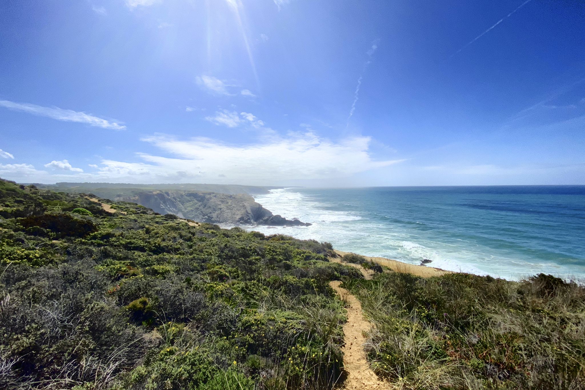
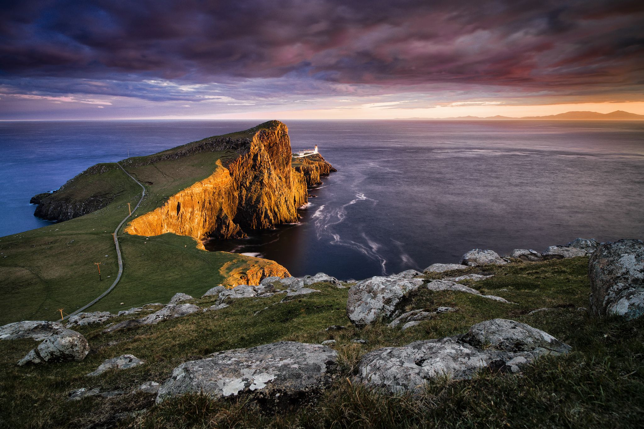
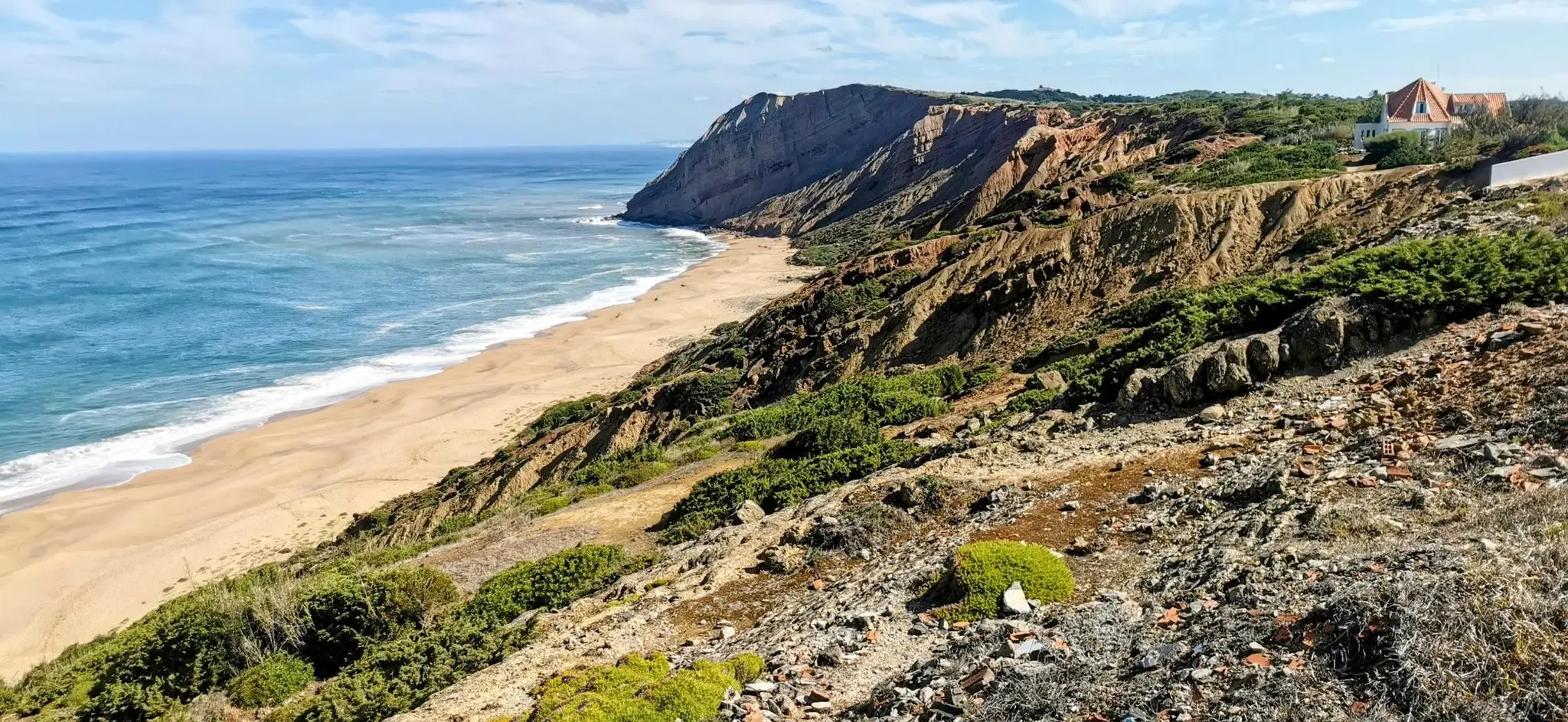


Tips from the Community

Five kilometers from Sagres rises the mythical Cabo de São Vicente, the last glimpse of land for explorers setting off towards the unknown of the vast ocean. Wild, windy, and imposing, this promontory of steep cliffs plunges into the Atlantic, crowned by one of Europe's most powerful lighthouses. Called by the Romans Promontorium Sacrum, the “end of the world,” it was for centuries a sacred place, shrouded in legends and mysteries. Today, it remains a pilgrimage point for sailors, hikers, and dreamers, where the horizon seems to dissolve into infinity.
2
0

Please be respectful when entering this building. There are quite a few homeless people with dogs trying to get some rest in there.
0
0

Great beach, good access to swimming and also numerous hiking trails.
1
0
Praia do Barranco is a beautiful beach near Aljezur, known for: • Golden sand and clear waters • Surrounded by high cliffs and rocks • Ideal for surfing and swimming
2
1

Steep gradient, slippery when wet. Most likely walking the bike down or up
0
0

Cabo de São Vicente is the southwesternmost point of the European mainland, located near Sagres in the Algarve (Portugal). It is known for its high cliffs, rugged ocean views, and an iconic lighthouse. Due to its remote location, it feels like "the end of the world" and is a popular spot for sunsets.
4
1
Five kilometers from Sagres rises the mythical Cabo de São Vicente, the last gaze of land for explorers setting off towards the unknown of the vast ocean. Wild, windy, and imposing, this promontory of steep cliffs plunges into the Atlantic, crowned by one of Europe's most powerful lighthouses. Called by the Romans Promontorium Sacrum, the "end of the world" was for centuries a sacred place, shrouded in legends and mysteries. Today, it remains a pilgrimage point for sailors, hikers, and dreamers, where the horizon seems to dissolve into infinity.
2
0

I went for a walk there, in those abandoned houses, and I caught a load of fleas, which could be seen crawling up my legs. Be careful.
0
0
Frequently Asked Questions
How many bus-accessible hiking trails are there around Sagres?
There are over 30 hiking trails around Sagres that are easily accessible from bus stations, allowing you to enjoy car-free adventures. These routes cater to various skill levels, from easy strolls to more challenging treks.
What kind of terrain can I expect on bus station hikes in Sagres?
The terrain around Sagres is incredibly diverse, characterized by dramatic cliffs, rugged coastlines, and expansive ocean views. Many trails traverse sandy stretches, wind through hills, and lead to hidden beaches. You'll encounter wild, windy promontories and unique rock formations, especially on coastal paths.
Are there any easy hiking trails accessible from Sagres bus stations?
Yes, Sagres offers a good selection of easier routes. Out of the bus-accessible trails, 19 are rated as easy, making them suitable for a relaxed walk. These often feature less elevation gain and more gentle paths, perfect for those looking for a less strenuous experience.
Can I find challenging long-distance hikes starting from Sagres bus stops?
Absolutely. For those seeking a challenge, there are 4 difficult routes accessible by bus. An example is the Costa Vicentina Cliffs – View of Cabo de São Vicente loop from Cape St. Vincent, which covers over 23 km with significant elevation changes, offering a demanding yet rewarding experience along the dramatic coastline.
Are there circular hiking routes available from Sagres bus stations?
Yes, many of the bus-accessible routes are circular, allowing you to start and end your hike at the same point, often near a bus stop. For instance, the Cape St. Vincent – View of Cabo de São Vicente loop from Cape St. Vincent is a moderate 15 km circular route that offers stunning coastal views.
What natural landmarks or attractions can I see along these bus-accessible trails?
The trails around Sagres are rich with natural beauty and historical sites. You can explore the iconic Cabo de São Vicente Lighthouse, the dramatic cliffs of Praia do Telheiro, or the historic Sagres Fortress. Many routes also pass by beautiful beaches like Salema Beach and Zavial Beach, and even hidden caves such as Furna do Cabo de São Vicente.
Are the bus station hiking trails in Sagres suitable for families with children?
Many of the easier and moderate routes are suitable for families, especially those with older children. The coastal paths offer engaging scenery and opportunities to explore beaches. It's advisable to check the specific route's distance and elevation profile to ensure it matches your family's capabilities. The region's unique biogenetic reserve also offers educational opportunities for nature-loving families.
When is the best time of year to hike around Sagres using public transport?
Sagres is a great hiking destination year-round. Spring (March to May) and Autumn (September to November) offer pleasant temperatures, fewer crowds, and vibrant flora. Summer can be hot, but the coastal breezes provide some relief, making early mornings or late afternoons ideal. Winter hiking is also possible, with cooler temperatures and dramatic ocean conditions, though some paths might be windier.
What makes the coastal walks around Sagres unique?
The coastal walks around Sagres are unique due to their 'edge-of-the-world' feel. As the southwesternmost tip of mainland Europe, you'll experience immense, dramatic cliffs plunging into the Atlantic, constant ocean views, and the raw power of the sea. These paths are part of the Southwest Alentejano and Vicentina Natural Park, a protected area known for its diverse ecosystems and endemic species, offering a truly wild and untamed hiking experience.
What do other hikers enjoy most about hiking in Sagres?
The komoot community highly rates the hiking experience in Sagres, with an average score of 4.4 stars. Reviewers frequently praise the breathtaking coastal views, the dramatic cliffside paths, and the sense of wild, untamed nature. The ability to access these stunning landscapes directly from bus stations is also a highlight for many, offering convenient and car-free exploration.
Are there any hidden gem hikes accessible from Sagres bus stops?
While many routes offer spectacular views, some provide a sense of discovery. The Barranco Beach – Rebolinhos Beach loop from Sagres is a moderate 16 km route that takes you past beautiful, secluded beaches and offers a chance to explore less-trafficked coastal sections, revealing the quieter side of Sagres' natural beauty.
Most popular attractions around Sagres

Get inspired with the komoot mobile app


Explore more
Browse the best Hikes in other regions.
