The 3 Most Amazing Peaks around Brimington
Best mountain peaks around Brimington are characterized by their elevated points, offering panoramic views across the landscape. This region, primarily in the UK, features hills rather than towering mountains, with elevations generally around 300 meters. These locations provide opportunities for experiencing the local scenery and are suitable for activities like walking. The area is known for its historical features and trig points, marking significant high ground.
Best mountain peaks around Brimington
- The most popular mountain peaks is Ashover Rock (The…
Last updated: October 11, 2026
Ashover Rock (The Fabrick) Trig Point and Doomsday Bunker
Highlight • Summit
Tip by

Ashover Rock (The Fabrick)
Highlight • Natural Monument
Tip by

Sign up now to discover places like this
Get recommendations on the best single tracks, peaks, & plenty of other exciting outdoor places.
Far Hill, elevation 303.6 m (996 ft); prominence 29.5 m
Highlight • Summit
(Hill ID: 507249) [JNSA 13452]
TP0905 - Ashover S1730
Derbyshire Trig Pillar List.
Tip by

Myrtle Hill (Gleadless Common) 214.3 m
Highlight • Summit
(Hill ID: 513945) [JNSA 17407]
County of Yorkshire Definitive List summit.
===================================
RECOMPLETION of the County of Yorkshire Definitive List 1302/1302 summits.
Tip by
TP3440 – Grange Hill S1838
Highlight • Monument
(Hill ID: 508963) [JNSA s9887]
TP3440 - Grange Hill S1838
Derbyshire Trig Pillar List.
#949
One of four Trig Pillars called Grange Hill and I cannot get the theme music out of my head!
Tip by
Start today with a free account
Your next adventure awaits.

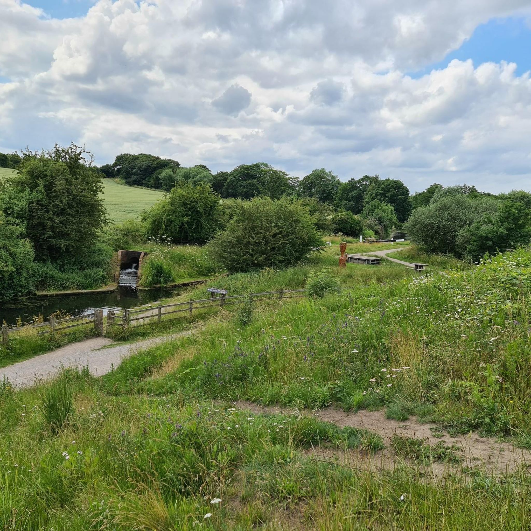
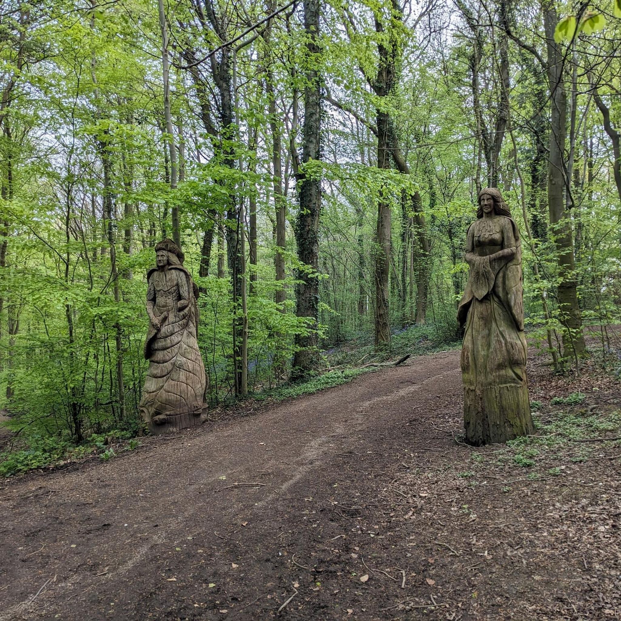
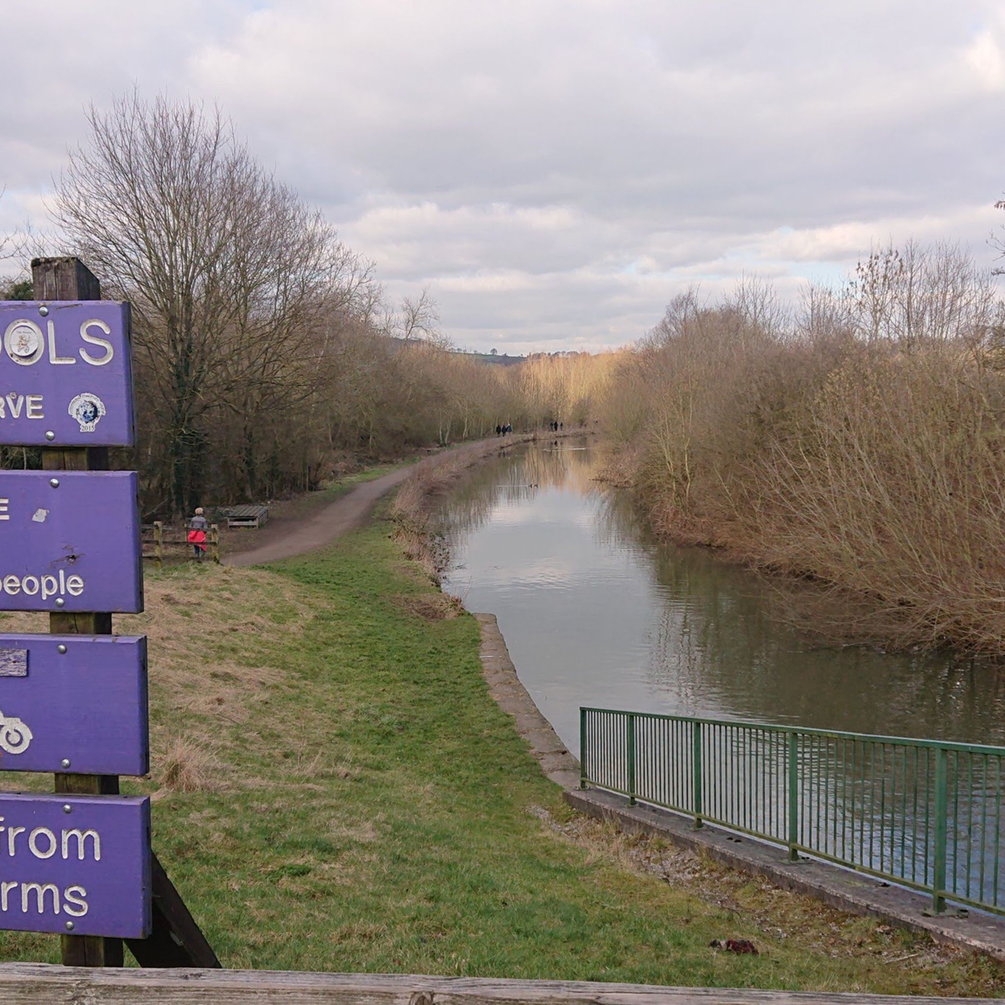
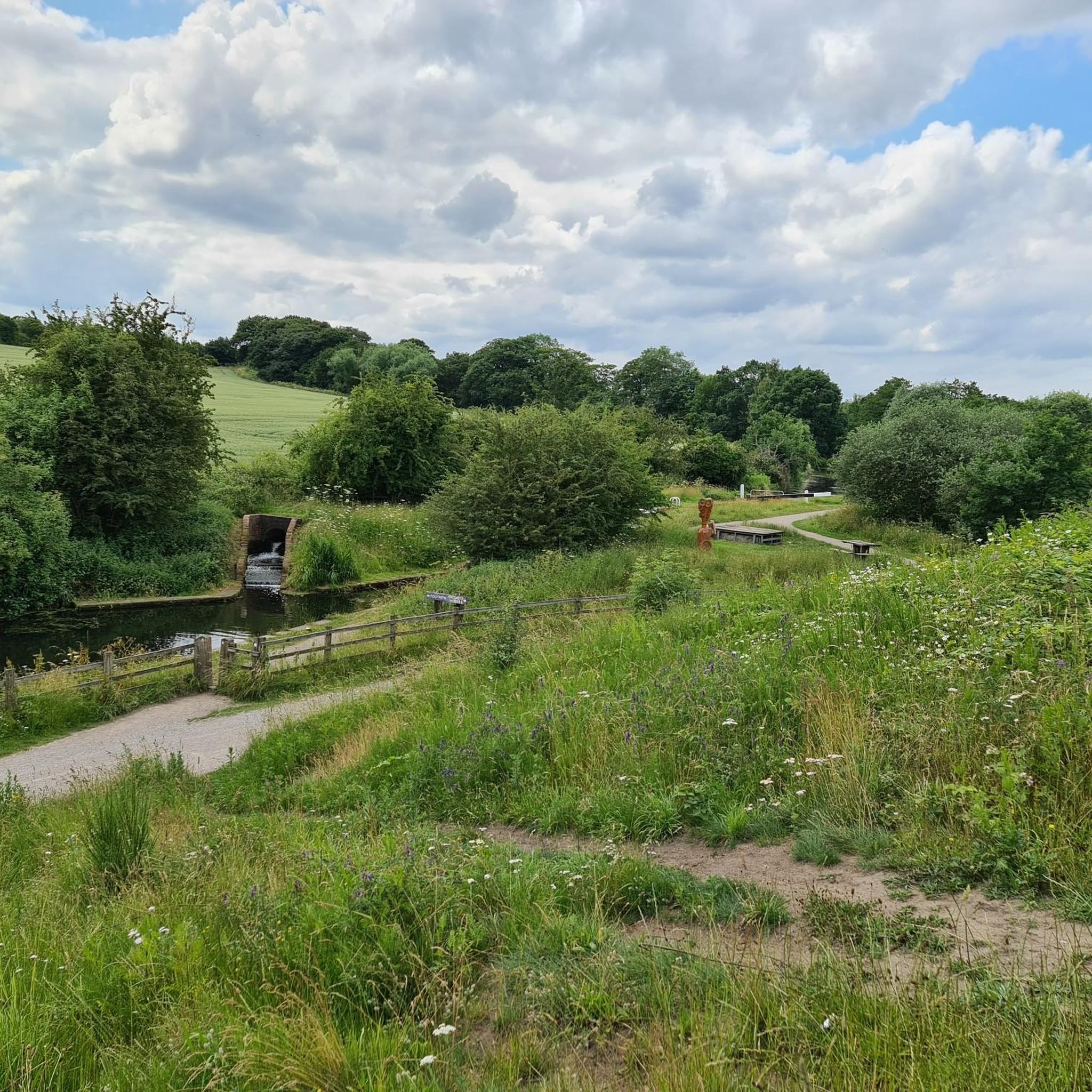
Tips from the Community

Myrtle Hill (Gleadless Common) 214.3m P22.2 (703ft) (Hill ID: 513945) [JNSA 17407] County of Yorkshire Definitive List summit. =================================== RECOMPLETION of the County of Yorkshire Definitive List 1302/1302 summits.
0
0

TP0905 - Ashover | TrigpointingUK https://share.google/eE5DBfWbZ91rT7YxV
0
0
Grange Hill 300.2m P16.6 (985ft) (Hill ID: 508963) [JNSA s9887] TP3440 - Grange Hill S1838 Derbyshire Trig Pillar List. #949 One of four Trig Pillars called Grange Hill and I cannot get the theme music out of my head!
0
0
Far Hill 303.6m P29.5 (996ft) (Hill ID: 507249) [JNSA 13452] TP0905 - Ashover S1730 Derbyshire Trig Pillar List.
0
0

That's what it is! I thought it was a hobbit house or similar lol
1
0

There is a Trig point and a Doomsday Bunker, which is locked from the inside to prevent access, The shaft and ventilation shaft was clad in Derbyshire stone, but locals say that the stone that was used to build it was stolen long ago, hence the reason for it being locked. At 299m above sea level, the (Rock) Fabrick is the highest point in the area and the views are stunning.
1
0


Apparently the highest point in England looking East, before Russia.
2
0
Frequently Asked Questions
What are some of the best peaks around Brimington for panoramic views?
For stunning panoramic views, Ashover Rock (The Fabrick) is highly recommended. It's considered the highest point in its immediate area, offering expansive vistas, especially to the east. Far Hill also provides excellent viewpoints.
Are there any family-friendly peaks or walks around Brimington?
Yes, Ashover Rock (The Fabrick) is noted as family-friendly, offering a rewarding experience for all ages. Myrtle Hill (Gleadless Common) is another excellent choice for family walks.
What kind of historical features can be found on the peaks near Brimington?
On Ashover Rock (The Fabrick), you can find a trig point and a 'Doomsday Bunker'. While the bunker is locked, its presence adds a unique historical element to the natural landscape. Other peaks like Grange Hill and Far Hill also feature trig pillars, which are historical surveying markers.
What outdoor activities can I do near the peaks around Brimington?
The area around Brimington offers a variety of outdoor activities. You can find numerous hiking trails, including easy and moderate options. There are also extensive routes for road cycling and general cycling. For more details on specific routes, explore the Hiking around Brimington guide, Road Cycling Routes around Brimington guide, and Cycling around Brimington guide.
Are there specific hiking trails suitable for beginners near Brimington's peaks?
Yes, the hiking guide for Brimington includes several easy-grade routes that are suitable for beginners. For instance, the 'Chesterfield Canal Underpass – Bilby Lane Bridge loop' and 'Bilby Lane Bridge loop' are both easy options. You can find more details and other beginner-friendly trails in the Hiking around Brimington guide.
What is the best time of year to hike the peaks around Brimington?
The peaks around Brimington, being more akin to hills, are generally accessible year-round. Spring and autumn offer pleasant temperatures and beautiful scenery with changing foliage. Summer is also popular, though can be busier. Winter hikes are possible, but trails may be muddy or icy, so appropriate footwear is essential.
What should I wear for hiking the peaks around Brimington?
Given the varied terrain and potential for changing weather, it's advisable to wear comfortable, layered clothing. Sturdy hiking boots with good ankle support are recommended, especially for areas with uneven paths. A waterproof jacket is always a good idea, regardless of the season.
Are there any cafes or refreshment stops near the mountain trails?
While specific cafes directly at every trailhead are not guaranteed, many routes in the wider Brimington area pass by or are close to local establishments. For example, some cycling and hiking routes mention 'Katey's Cafe at Hollinwell Hub' as a point of interest. It's always a good idea to check local listings or plan your route to include a stop.
What is the difference between the 'mountain peaks' in Brimington, UK, and other regions?
The 'peaks' around Brimington, UK, such as Ashover Rock and Far Hill, are more accurately described as prominent hills, with elevations typically around 300 meters (approximately 1,000 feet). They offer significant local prominence and views but are not mountains in the same scale as, for example, Brimstone Mountain in the Wind River Range in the US, which reaches over 3,800 meters (12,700 feet).
What do visitors enjoy most about the peaks around Brimington?
Visitors frequently highlight the stunning views from points like Ashover Rock (The Fabrick), noting the expansive landscapes. The historical elements, such as the trig points and the 'Doomsday Bunker,' also add a unique appeal. The accessibility and family-friendly nature of many of these locations are also highly appreciated.
Are there any circular walks that include these peaks?
Yes, many of the hiking routes in the area are designed as circular walks, allowing you to experience the landscape and return to your starting point. For example, the 'Bilby Lane Bridge loop' is an easy circular hike. You can explore various circular options within the Hiking around Brimington guide.
Where can I find parking when visiting these peaks?
Parking availability varies by specific peak and trailhead. For popular spots like Ashover Rock, there are often designated parking areas nearby. It's advisable to check specific route details or local information for the peak you plan to visit to confirm parking options.
Most popular routes around Brimington
Most popular attractions around Brimington

Get inspired with the komoot mobile app


