
The best walks and hikes around Bryant
4
hikers
4
hikes
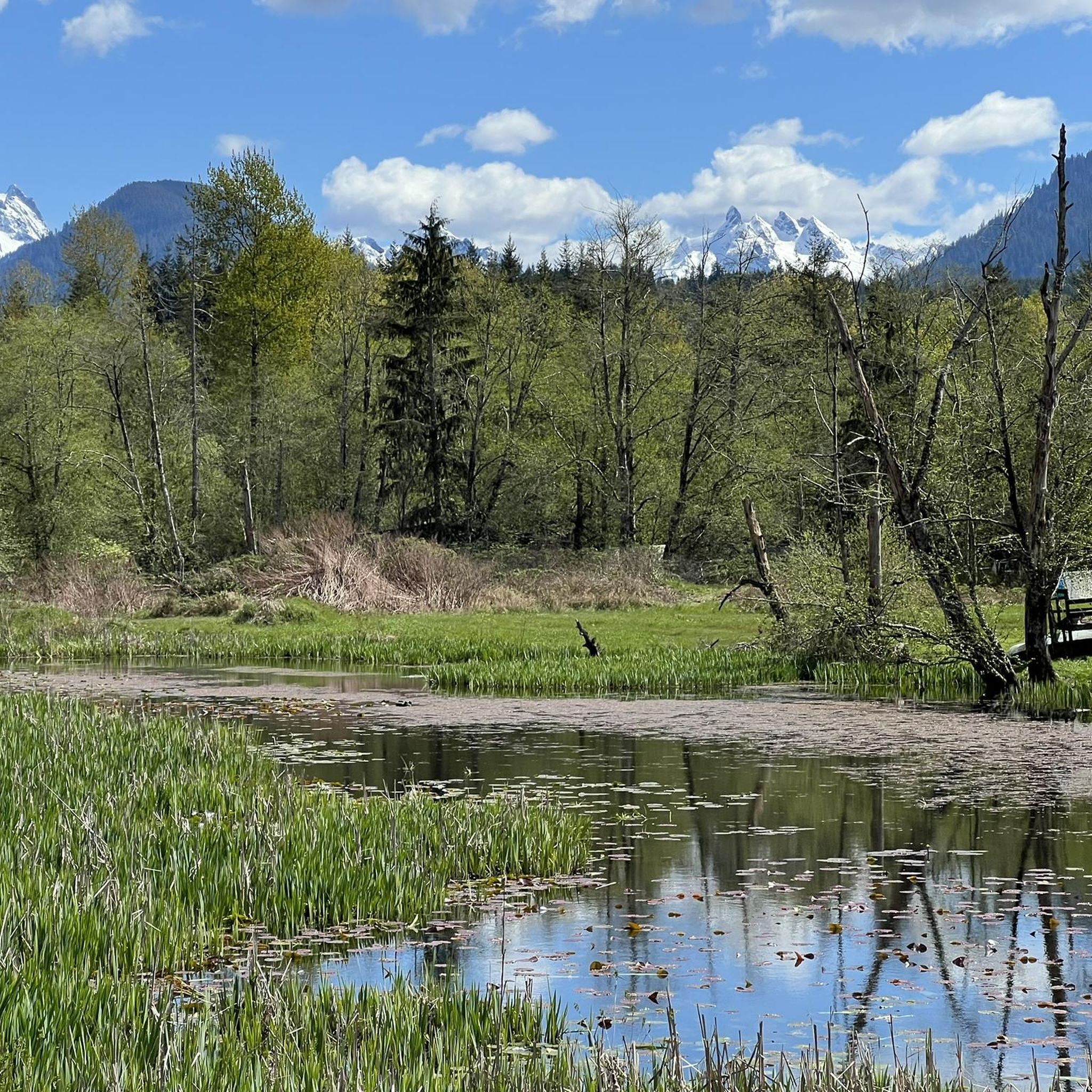
Hiking around Bryant offers access to diverse landscapes, from wooded natural areas to trails with varied elevation. The region features a mix of paved walking paths and more rugged hiking trails. Hikers can explore areas characterized by natural seeps, mixed forests, and open meadows. The terrain provides options for both short, easy walks and longer, moderate excursions.
Best hiking trails around Bryant
- The most popular hiking route is Airport Trail, a 6.8 miles (10.9 km) trail that takes 2…
Last updated: June 29, 2026
2
hikers
10.9km
02:46
30m
30m
Embark on the Airport Trail, a moderate hiking route stretching 6.8 miles (10.9 km) with a gentle 99 feet (30 metres) of elevation gain, typically completed in about 2 hours…
6.96km
01:47
30m
20m
Hike the Bryant to Lake McMurray via Centennial Trail for an easy journey through varied landscapes. This route spans 4.3 miles (7.0 km) with a gentle elevation gain of 114…

Sign up for free
11.9km
03:26
290m
270m
Hike the moderate 7.4-mile Walker Valley 22 trail in Washington's ORV area; note "BR-1604 OHV Trail" is likely a misnomer.
650m
00:10
10m
0m
Embark on an easy hike along the River Meadows Park Trail, a gentle path that winds for 0.4 miles (0.7 km) through open meadows and groves of cedar and cottonwood…
2
hikers
9.78km
02:45
200m
200m
The Victoria Heights Reservoir loop offers a pleasant escape into nature without straying far from the city. You'll follow a well-maintained path circling the reservoir, enjoying a mix of natural…
Our route recommendations are based on thousands of hikes, rides, and runs completed by other people on komoot.
Start today with a free account
Your next adventure awaits.
Login or Signup
Popular around Bryant
Frequently Asked Questions
How many hiking trails are available around Bryant?
Komoot features a selection of 4 hiking routes around Bryant. These trails cater to various skill levels, with 2 easy and 2 moderate options, ensuring there's something for everyone to explore.
What kind of terrain and difficulty can I expect on hikes near Bryant?
The hiking trails around Bryant offer a mix of easy and moderate terrain. You'll find routes with gentle elevation changes, such as the Bryant to Lake McMurray via Centennial Trail, which has minimal ascent. Other trails, like the Walker Valley 22 and BR-1604 OHV Trail, present more significant climbs, reaching nearly 300 meters of elevation gain, offering a more challenging experience.
Are there any family-friendly hiking options in Bryant?
Yes, Bryant offers several family-friendly options. The River Meadows Park Trail is a short, easy walk perfect for families with young children. Additionally, the paved interpretive loop at the Arkansas Arboretum within Pinnacle Mountain State Park (near Bryant, Arkansas) provides an accessible and educational experience for all ages.
Are dogs allowed on hiking trails near Bryant?
Many outdoor areas around Bryant, especially in Arkansas State Parks like Pinnacle Mountain and Lake Ouachita, are dog-friendly, typically requiring dogs to be on a leash. For specific komoot routes, it's always best to check individual trail descriptions for any restrictions. The half-mile Dogwood Trail at Lake Ouachita State Park is a notable option for a shorter walk with your canine companion.
What are some natural features or landmarks to look out for on hikes around Bryant?
Near Bryant, Arkansas, you can find diverse natural features. Pinnacle Mountain State Park offers panoramic views of Lake Maumelle and the Arkansas River Valley. Lake Ouachita State Park is known for its scenic lake views, abundant wildflowers, and unique quartz outcroppings. If exploring further afield, the Pisgah Gorge in Alabama (formed by Little Bryant and Big Bryant creeks) features breathtaking views, two significant waterfalls, and a natural bridge.
Are there any circular hiking routes available in Bryant?
While the komoot selection for Bryant includes point-to-point and out-and-back trails, you can find circular options in the broader region. For instance, the Caddo Bend Trail at Lake Ouachita State Park is a four-mile loop offering scenic lake views. The Victoria Heights Reservoir loop from Victoria Heights Reservoir is another moderate circular route available.
What is the best time of year to hike around Bryant?
The best time to hike around Bryant, particularly in Arkansas, is typically during the spring and fall. These seasons offer pleasant temperatures, vibrant foliage (spring wildflowers or autumn colors), and fewer insects. Summer can be hot and humid, while winter can bring colder temperatures, though some trails remain accessible for winter hiking.
Where can I find parking for trailheads near Bryant?
Parking is generally available at the main access points for parks and trails near Bryant. For example, Pinnacle Mountain State Park has designated parking areas for its trailheads. Within Bryant itself, parks like Mills Park, which features a 1.2-mile walking trail, offer parking facilities. Always check specific park or trailhead information for detailed parking instructions.
Are there any trails with good viewpoints near Bryant?
Absolutely. If you're looking for rewarding views, consider the trails leading up Pinnacle Mountain in Arkansas. Both the West Summit Trail and the more rugged East Summit Trail offer panoramic vistas of Lake Maumelle, the Arkansas River Valley, and the Ouachita Mountains. For a different perspective, the Pisgah Civitan Park in Alabama provides clifftop overlooks with sweeping views of waterfalls and gorges.
Are there any easy, beginner-friendly hiking routes in Bryant?
Yes, Bryant offers several easy routes suitable for beginners. The River Meadows Park Trail is a short and gentle option. Another great choice is the Bryant to Lake McMurray via Centennial Trail, which is also rated as easy and provides a pleasant walking experience.
What are the typical distances and durations for hikes around Bryant?
Hikes around Bryant vary in length and duration. You can find shorter walks like the River Meadows Park Trail, which is under a kilometer and takes about 10 minutes. Longer routes, such as the Airport Trail, extend over 10 kilometers and can take around 2 hours and 45 minutes to complete, offering more extended exploration.
Most popular routes around Bryant

Get inspired with the komoot mobile app


Explore more
Browse the best Hikes in other regions.
