The best walks and hikes around Confluence
5.0
(2)
5
hikers
5
hikes
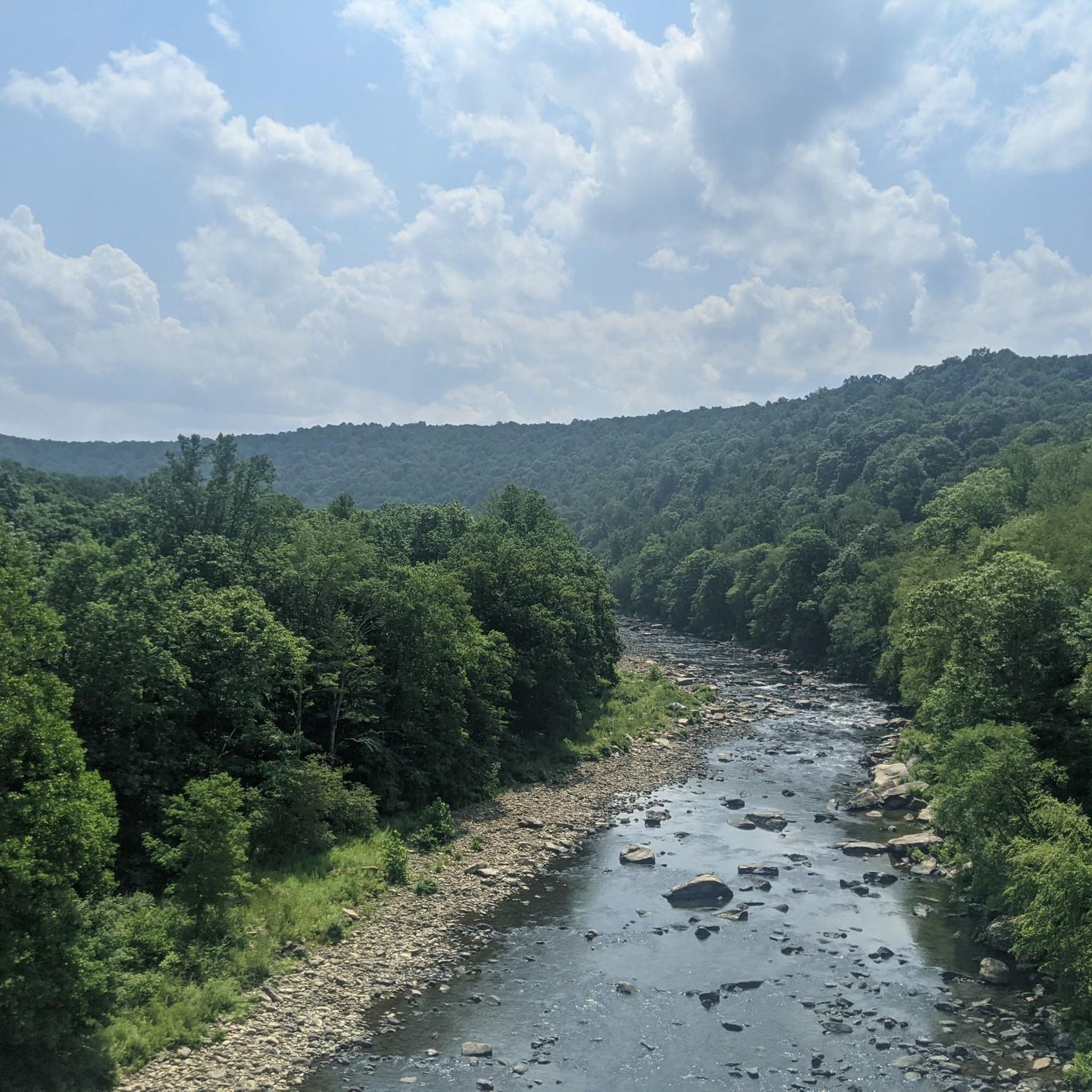
Hiking around Confluence, Pennsylvania, offers diverse landscapes at the junction of the Casselman River, Laurel Hill Creek, and the Youghiogheny River. The region is characterized by river valleys, dense forests, and the rolling hills of the Laurel Highlands. Hikers can explore trails alongside scenic waterways and through wooded areas, with elevations ranging from river level to the nearby Mount Davis, Pennsylvania's highest point.
Best hiking trails around Confluence
- The most popular hiking route is Great Allegheny Passage: Confluence to Fort Hill, a 7.9 miles (12.8 km) moderate trail that takes 3 hours 21 minutes to complete, following the historic railway path along the Youghiogheny River.
- Another top favourite among local hikers is Laurel Highlands Hiking Trail: Jersey Hollow Road to Conn Road, a moderate 4.8 miles (7.7 km) path. This section offers an immersive experience through the dense forests and varied terrain characteristic of the Laurel Highlands.
- Local hikers also love the McCune Trail Loop, a 3.6 miles (5.8 km) trail leading through wooded areas and gentle hills, often completed in about 1 hour 42 minutes.
- Hiking around Confluence is defined by scenic river valleys, extensive forest trails, and the rolling terrain of the Laurel Highlands. The network offers options for various ability levels, from easy riverside strolls to more challenging moderate routes.
- The guide includes highly-rated routes that showcase the best of the region's landscape.
Last updated: August 8, 2026
12.8km
03:22
140m
70m
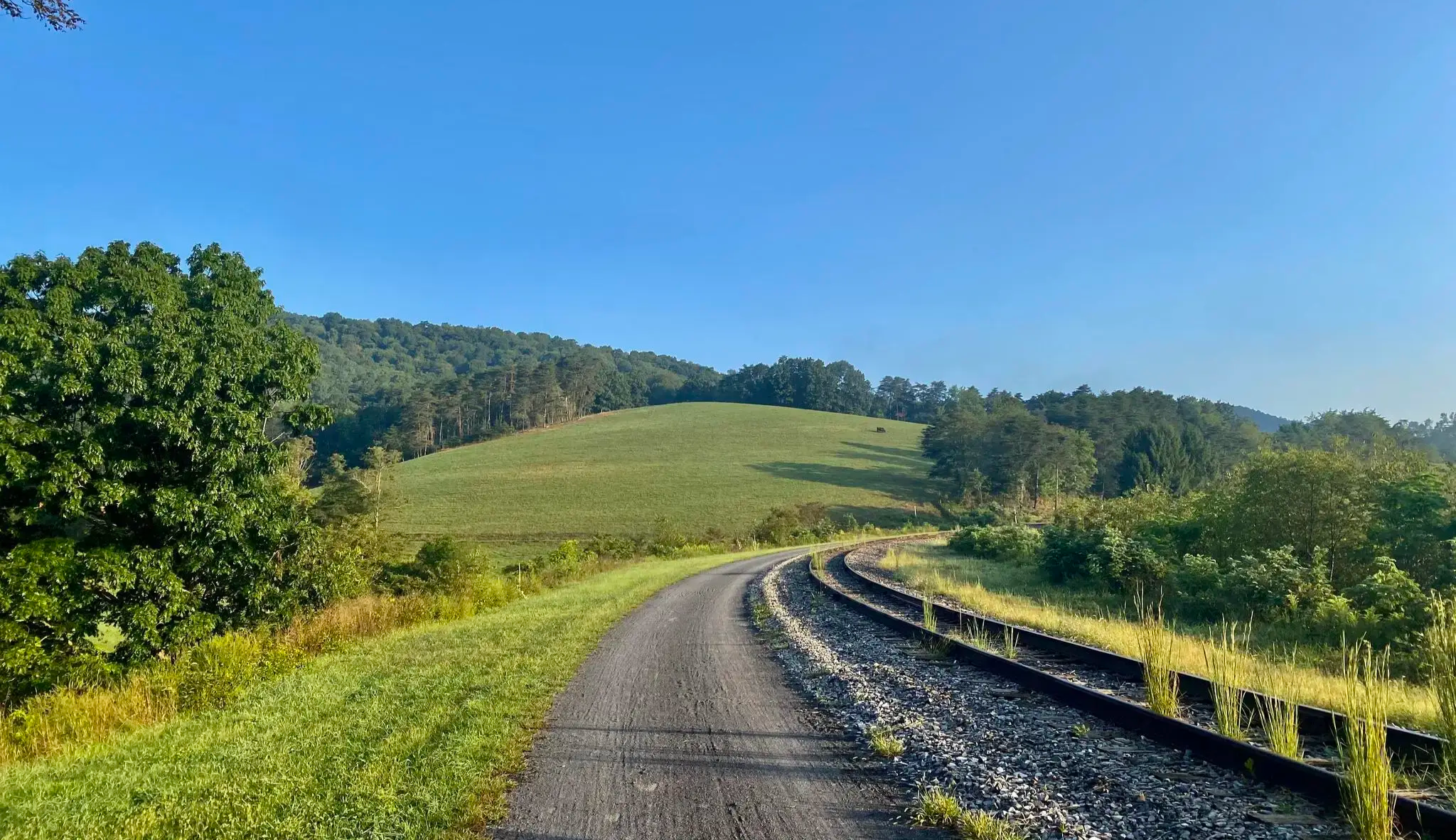
Embark on a moderate hiking adventure along the Great Allegheny Passage, covering 7.9 miles (12.8 km) from Confluence to Fort Hill. This section of the trail offers a pleasant journey with 455 feet (139 metres) of elevation gain, typically taking around 3 hours and 21 minutes to complete. You will find yourself immersed in peaceful forest views, often canopied by trees, and enjoy consistent glimpses of the Casselman and Youghiogheny Rivers as you make your way.
For your visit, Fort Hill provides a convenient access point with parking available for hikers. If you plan to start or end your hike in Confluence, you will find various amenities, including dining options, making it a good base for your trip. Consider starting early to enjoy the cooler temperatures and ample daylight, especially during warmer months.
This segment of the Great Allegheny Passage is notable for its scenic beauty and engineering marvels. A highlight of the route is passing through the 849-foot Pinkerton Tunnel, an impressive structure that adds a unique element to your hike. You will also cross the picturesque Pinkerton Bridges, offering excellent views over the Casselman River and showcasing the trail's rich history.
7.72km
02:19
140m
400m
Embark on a moderate hike along the Laurel Highlands Hiking Trail: Jersey Hollow Road to Conn Road, covering 4.8 miles (7.7 km) with an elevation gain of 467 feet (142 metres). You can expect to complete this segment in about 2 hours and 19 minutes. The route features a challenging mix of hilly terrain with natural surfaces like rocks, boulders, and roots, often leading through open hardwoods where you will see ferns and mountain laurel. Look out for moss-covered boulders that create a unique, lush atmosphere in the dense woods.
When planning your visit, be aware that this section of the trail is known for its demanding nature, particularly with significant downhill portions that can be steep and rocky. The trail is well-maintained and clearly marked with yellow blazes, making navigation straightforward. You will find well-developed parking areas at major road crossings, including Jersey Hollow Road, providing convenient access to the trailhead.
This particular segment of the Laurel Highlands Hiking Trail is situated within the expansive Ohiopyle State Park, offering a glimpse into the region's natural beauty. The trail's rugged character and the presence of rock formations and giant boulders contribute to its distinctive appeal, creating a memorable experience for hikers. It stands out for its

Sign up for free
6.95km
01:50
80m
40m
Embark on an easy hike along the Great Allegheny Passage from Fort Hill to Markleton, a pleasant 4.3 miles (6.9 km) route. You will experience a gentle ascent of 265 feet (81 metres) over approximately 1 hour and 50 minutes. The trail meanders alongside the Casselman River, providing frequent scenic views of the water. You will pass through areas with picturesque rocky hills and diverse trees offering ample shade. A notable feature is the historic Pinkerton Tunnel, which you can walk through or bypass for an alternative view.
This section of the Great Allegheny Passage is ideal for hikers of all skill levels, including families and beginners, due to its easy classification. The path is primarily composed of hard-packed limestone and gravel, ensuring a smooth and accessible journey. You will find several benches and picnic areas thoughtfully placed along the route, perfect for taking a break or enjoying a packed lunch. Consider starting your hike in the morning to enjoy cooler temperatures and fewer people on the trail.
The Great Allegheny Passage is a historic rail-trail, offering a glimpse into the region's past while providing a peaceful outdoor escape. This particular segment highlights the trail's commitment to accessibility and natural beauty, making it a popular choice for those seeking a serene environment. The trail's design along the Casselman River showcases the area's unique geology and provides a continuous connection to the broader GAP network.
5.0
(2)
5
hikers
5.78km
01:42
160m
150m
Embark on the McCune Trail Loop, an easy 3.6-mile (5.8 km) hike that offers a peaceful journey through Ohiopyle State Park. You will gain 514 feet (157 metres) in elevation, taking about 1 hour and 41 minutes to complete the circuit. As you hike, you will pass through lush hardwood forests and wildflower meadows, with a notable overlook providing views over the Youghiogheny River Valley about halfway through the route. You can expect varied terrain and interesting rock formations along the way.
This loop is accessible year-round, allowing you to experience its beauty in any season. However, be prepared for potentially muddy conditions during spring and fall, and consider wearing sturdy hiking shoes for comfort and safety. The trailhead is easy to find within Ohiopyle State Park, making it a convenient option for a day out.
Beyond the natural beauty, the McCune Trail Loop holds a piece of local history. The route passes the site of an old McCune family homestead, offering a glimpse into the past of the area. This historical detail, combined with the diverse landscape, makes the trail a unique experience within the park, setting it apart from other nearby options.
2.80km
00:47
60m
60m
Embark on the Oriole Trail for an easy hike through the natural beauty of Ohiopyle State Park. This route covers 1.7 miles (2.8 km) with a gentle elevation gain of 194 feet (59 metres), making it a perfect choice for a quick outdoor escape that takes around 47 minutes. You will find yourself immersed in characteristic woodlands, offering a peaceful walk through varied terrain and forest, leading you towards the notable Sugarloaf Knob.
Planning your visit to the Oriole Trail is straightforward, as it is located within Ohiopyle State Park, which provides good access and facilities for hikers. Parking is generally available at designated trailheads or visitor centers within the park, so you can easily start your adventure. Before heading out, always remember to check the Ohiopyle State Park website for any specific alerts regarding current trail conditions or temporary closures to ensure a smooth trip.
The Oriole Trail offers a chance to experience the rich natural environment of Ohiopyle State Park, known for its diverse landscapes. As you hike, you can appreciate the park's characteristic woodlands and potentially spot some of its unique geological features. This trail provides a great introduction to the region's natural surroundings, allowing you to connect with the outdoors in a serene setting.
Our route recommendations are based on thousands of hikes, rides, and runs completed by other people on komoot.
Start today with a free account
Your next adventure awaits.
Login or Signup

Other adventures around Confluence

Tips from the Community


Tucked away along Jersey Hollow Road, this trailhead connects to the Laurel Highlands Hiking Trail around mile 11. There is a gravel parking lot here, and it connects to one of the quieter, less trafficked areas of the southern end of the trail. There is a kiosk with trail information and a registry box here for anyone starting the trail from this point.
0
0

Nice wooden bridge over the Casselman River. As you are crossing, make sure to stop to enjoy the wonderful view of the river and the surrounding forest.
0
0

McCune Trail is a gem of a trail and one of the more secluded walks of the Ohiopyle State Park. The path is well-maintained and follows the highest ridge in the park, there is a bench to sit on with a nice view overlooking the Youghiogheny River Valley. You'll also pass a stone foundation and an old springhouse and pond, which are remnants of the working McCune Farm.
0
0
The woodland opens up here so you can enjoy wonderful views across the Youghiogheny River Valley. There's a bench for you to sit on and take in the scenery.
0
0
Sugarloaf Knob is one of the highest named peaks in the Ohiopyle State Park. It rises to 2667 feet (812m) and provides sensational views across the park. The fall colours are particularly great if visiting between the months of September and November.
0
0

Reaching 2,667 feet, it is the highest named peak within Ohiopyle State Park. Several trails wind around Sugarloaf Knob, offering challenges for all levels. Sugarloaf Knob is a scenic overlook offering breathtaking views of the Youghiogheny River Gorge.
0
0
Frequently Asked Questions
How many hiking trails are there around Confluence?
The Confluence area offers several excellent hiking trails. This guide features 5 distinct routes, ranging from easy strolls to more moderate adventures, ensuring there's something for every hiker.
Are there easy hiking trails suitable for beginners or families in Confluence?
Yes, Confluence has several easy trails perfect for beginners and families. The Oriole Trail is a short, pleasant option, and the McCune Trail Loop offers a slightly longer, easy experience. Both are great for enjoying the natural beauty without strenuous effort.
What are some scenic viewpoints or overlooks I can hike to near Confluence?
The region around Confluence is rich with scenic overlooks. You can find stunning views of the Youghiogheny River, especially along sections of the Great Allegheny Passage. For panoramic vistas, consider visiting Baughman Rock Overlook or hiking to Sugarloaf Knob. Mount Davis, Pennsylvania's highest point, also offers breathtaking views after a relatively short hike.
Are there any circular hiking routes in the Confluence area?
Yes, for those who prefer not to retrace their steps, the McCune Trail Loop is a fantastic option. This easy 5.7 km route allows you to experience diverse scenery in a continuous loop.
What is the best time of year to go hiking in Confluence?
Hiking in Confluence is enjoyable throughout much of the year. Spring brings lush greenery and blooming wildflowers, while summer offers warm weather perfect for riverside walks. However, many hikers find autumn to be particularly spectacular due to the vibrant fall foliage in the Laurel Highlands, making it an ideal time for scenic hikes.
Are there any trails that feature waterfalls near Confluence?
While not directly on the routes listed in this guide, Ohiopyle State Park, just a short drive from Confluence, is renowned for its beautiful waterfalls. You can visit stunning natural features like Cucumber Falls and Ohiopyle Falls within the park, which offers many additional hiking opportunities.
What are some longer or more challenging hiking options around Confluence?
For a more extended adventure, consider sections of the Great Allegheny Passage or the Laurel Highlands Hiking Trail. The Great Allegheny Passage: Confluence to Fort Hill is a moderate 12.7 km route, while the Laurel Highlands Hiking Trail: Jersey Hollow Road to Conn Road offers a moderate 7.7 km section of the longer 70-mile trail.
What do other hikers enjoy most about the trails in Confluence?
The komoot community highly rates the hiking experiences around Confluence, with an average score of 5.0 stars. Hikers often praise the peaceful riverside paths, the well-maintained sections of the Great Allegheny Passage, and the beautiful natural scenery of the Laurel Highlands.
Is there parking available at the trailheads in Confluence?
Yes, most major trailheads in and around Confluence, especially those for popular routes like the Great Allegheny Passage and within Ohiopyle State Park, offer designated parking areas. It's always a good idea to check specific route details for precise parking information.
Can I bring my dog on the hiking trails in Confluence?
Many trails in the Confluence area, particularly those within state parks and along the Great Allegheny Passage, are dog-friendly. However, it's crucial to keep your dog on a leash and follow all posted regulations to ensure a safe and enjoyable experience for everyone. Always check specific trail rules before heading out.
What kind of terrain can I expect on hikes around Confluence?
The terrain around Confluence is quite varied. You'll find relatively flat, well-maintained paths along the Great Allegheny Passage, which follows former railway lines. Other trails, especially those venturing into the Laurel Highlands, may feature rolling hills, dense forest paths, and some rocky sections, offering a diverse hiking experience.
Most popular routes around Confluence
Most popular attractions around Confluence

Get inspired with the komoot mobile app


Explore more
Browse the best Hikes in other regions.
