The best walks and hikes around Lichtenberg/Erzgebirge
4.7
(4815)
17,291
hikers
33
hikes
Hiking around Lichtenberg/Erzgebirge offers a variety of trails through the scenic landscapes of the Ore Mountains. The region is characterized by rolling hills, dense forests, and valleys, often featuring water bodies like the Talsperre Lichtenberg. Elevations are generally moderate, providing accessible hiking experiences for various skill levels.
Best hiking trails around Lichtenberg/Erzgebirge
- The most popular hiking route is Pflüger Wald Parking Area – Bench With View of the Dam loop from Dittersbach, a 5.8 miles (9.4 km) trail that…
Last updated: July 10, 2026
4.6
(215)
739
hikers
Moderate hike. Good fitness required. Mostly accessible paths. Sure-footedness required.
4.8
(40)
125
hikers
Moderate hike. Good fitness required. Mostly accessible paths. Sure-footedness required.

Sign up for free
4.9
(11)
41
hikers
Hard hike. Very good fitness required. Mostly accessible paths. Sure-footedness required.
4.5
(14)
42
hikers
11.4km
03:07
170m
170m
Moderate hike. Good fitness required. Easily-accessible paths. Suitable for all skill levels.
4.7
(9)
42
hikers
Moderate hike. Great for any fitness level. Mostly accessible paths. Sure-footedness required.
Get access to more routes and recommendations from other explorers.
Sign up for free
Already have an account?
Our route recommendations are based on thousands of hikes, rides, and runs completed by other people on komoot.
Start today with a free account
Your next adventure awaits.
Login or Signup

Tips from the Community

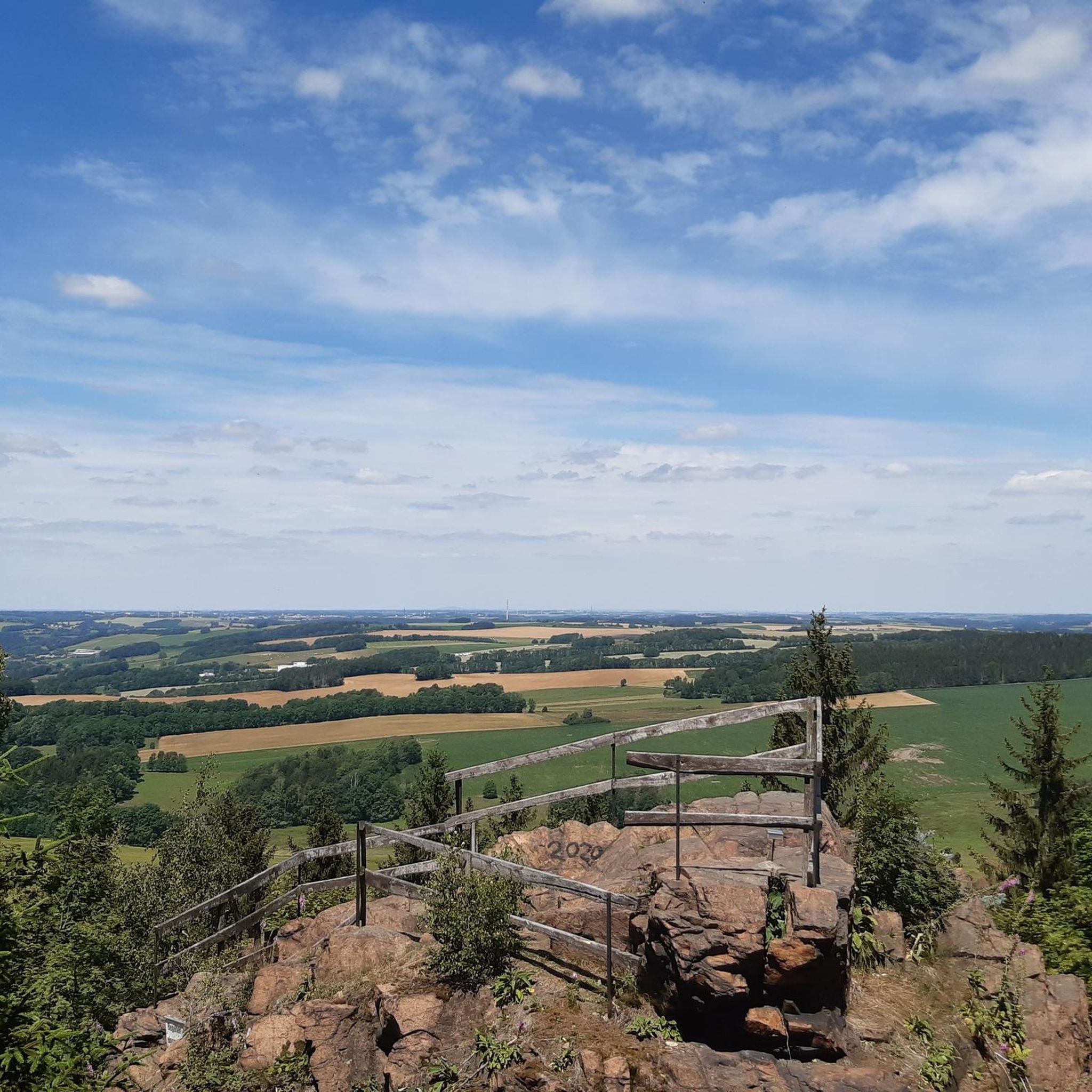
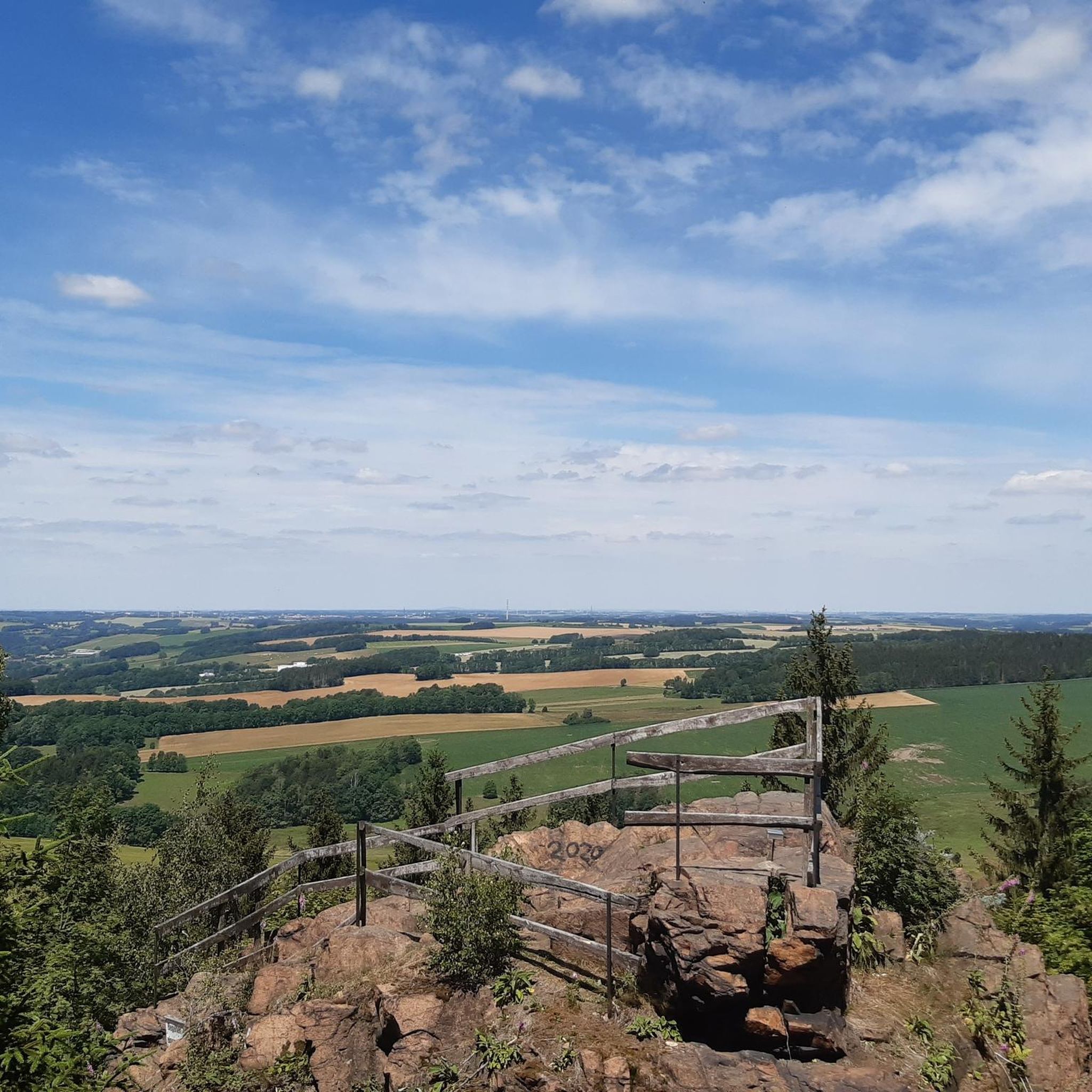
A beautiful resting place is located not far from this gauging station
0
0

Beautiful tour and great view.
0
0

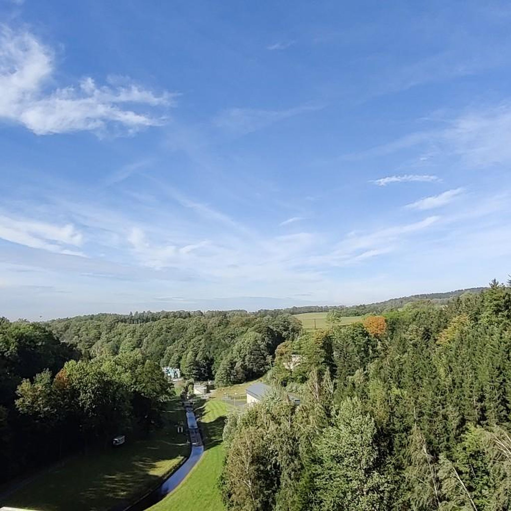
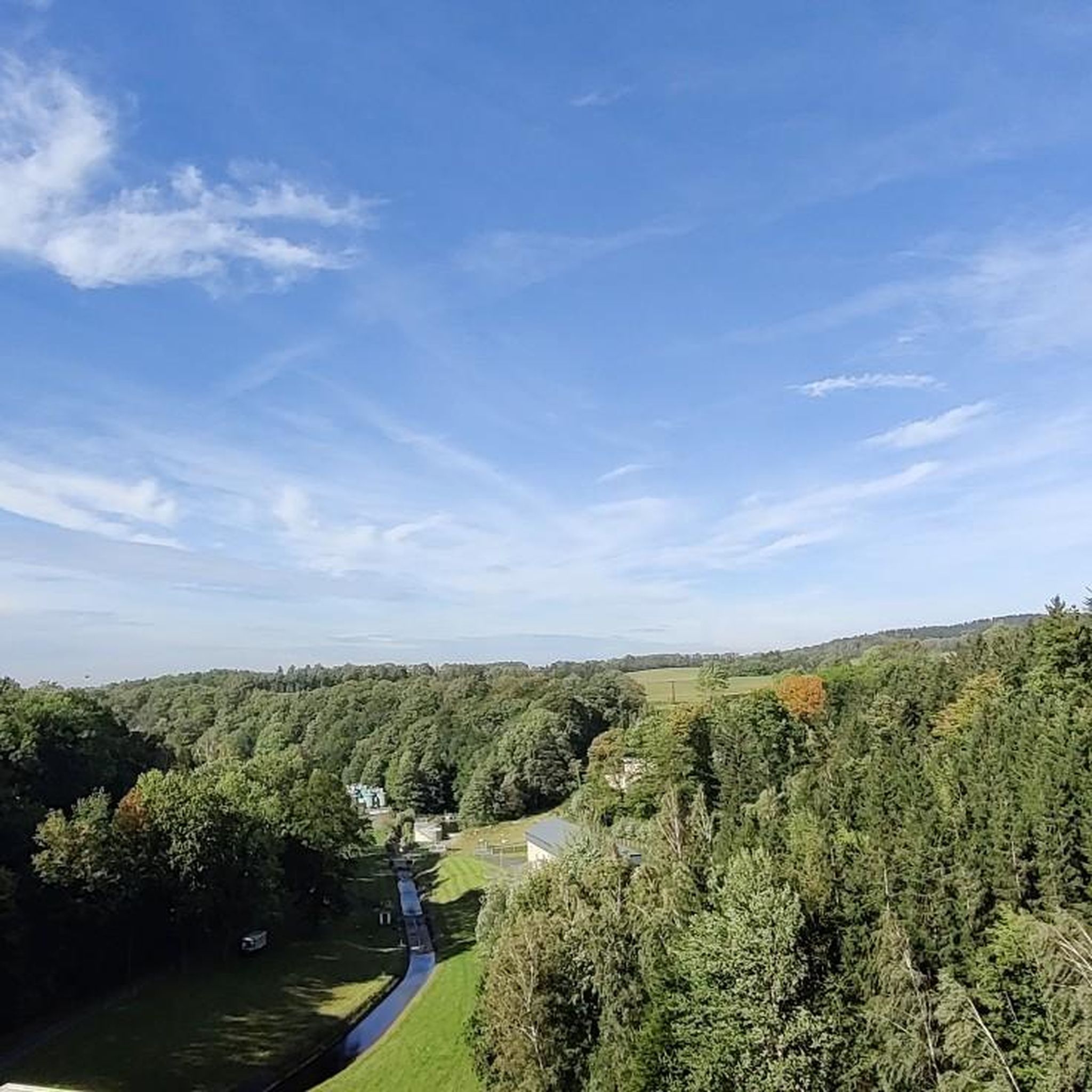
Lichtenberg Dam, not Lehnmühle!
1
0

The Royal Saxon Triangulation was a national survey conducted between 1862 and 1890 that mapped the Kingdom of Saxony with a precise triangular network to create the basis for accurate maps. The network consisted of 158 points, including 36 main stations for the Central European Triangulation System, at which survey pillars were erected. These pillars are now technical monuments and bear witness to one of the most precise land surveys in Europe during the 19th century.
2
2
Frauenstein Castle is a Renaissance castle in the Ore Mountains, located right next to a medieval castle ruin that is considered a landmark of the town and was built around 1200. The castle was built in 1585 to meet growing housing needs and today houses the Gottfried Silbermann Museum, dedicated to the famous organ builder. Unfortunately, it was hazy today, so we didn't have a view.
2
1
In the Ore Mountains, specifically in Frauenstein, there is a Saxon postal milepost located in the market square, indicating distances to other locations. It is a replica and refers to the historical postal system, in which the mileposts served as distance markers.
2
1
The mirror vault, which extends across the entire ceiling of the church, is decorated with illusionistic, ornamental grisaille paintings and depictions of putti in the Neo-Renaissance style. The organ was built in 1873 by the Kreutzbach company and restored in 2008. Also noteworthy are the large pulpit altar in Neo-Renaissance form, the two oil paintings of Moses and John the Baptist by Emil Sachse, the three original stained-glass windows, and the newly cast bells in the church tower in 2022, while the older ones from 1952 found their place in front of the church. The new casting was only made possible by generous donations, which raised €130,000. Thus, the city church "Zu unserer lieben Frau" (Our Lady) is not just a sacred monument, but also the church of a vibrant Christian community. See: https://kirchenbezirk-freiberg.de/kirchort/frauenstein
2
1
In the fires of 1728 and 1869, Frauenstein lost the two organs by Gottfried Silbermann, who had built them for his hometown church in 1711 and 1738, respectively. The town church, built in 1873, presents itself in a largely unaltered form both inside and out, having undergone no major alterations in the past 150 years. The plans for the new building were drawn up by Chemnitz professor Emil Alwin Gottschaldt; those for the 48-meter-high tower were drawn up by the chief architect Karl Moritz Haenel. The exterior and interior design follow the Neo-Renaissance style. Since the town church contains virtually no furnishings dating from before 1873, it appears to be a seamless blend of the early imperial period, while the new churches in the surrounding area were built later. The town church of Frauenstein thus holds a special significance in the sacred architecture of this region and is well worth a longer visit.
3
1
Frequently Asked Questions
How many hiking trails are there in Lichtenberg/Erzgebirge?
The Lichtenberg/Erzgebirge region offers a diverse network of over 30 hiking trails. These routes cater to various skill levels, with 10 easy, 22 moderate, and 2 difficult options available.
Are there easy hiking trails suitable for beginners in Lichtenberg/Erzgebirge?
Yes, there are 10 easy hiking trails in the area, perfect for beginners or those seeking a relaxed walk. These routes typically feature gentle inclines through forests and along valleys, making them accessible for most fitness levels.
Can I find family-friendly hikes in the area?
Many trails in Lichtenberg/Erzgebirge are suitable for families. For a shorter, engaging walk, consider the Lichtenberg Wildlife Park loop from Lichtenberg, Seniorenheim, which is 4.7 km long and takes about 1 hour 20 minutes. It's a moderate route that offers an enjoyable experience for all ages.
Are dogs allowed on the hiking trails around Lichtenberg/Erzgebirge?
Generally, dogs are welcome on most hiking trails in the Lichtenberg/Erzgebirge region, provided they are kept on a leash, especially in forested areas or near wildlife. Always be mindful of local regulations and other hikers.
Are there circular hiking routes available?
Yes, many of the trails in Lichtenberg/Erzgebirge are circular, allowing you to start and end at the same point. An example is the popular Pflüger Wald Parking Area – Bench With View of the Dam loop from Dittersbach, which offers scenic views of the Talsperre Lichtenberg.
What are some scenic viewpoints or landmarks to explore?
The region boasts several scenic spots. The Burgberg summit cross (622 m) offers panoramic views. You can reach it via the Burgberg summit cross (622 m) – Burgberg Viewpoint loop from Lichtenberg, Seniorenheim trail. Other notable points include the Zipfel Summit (522 m) and the Tannhübel (426 m) viewpoint.
What is the best time of year for hiking in Lichtenberg/Erzgebirge?
The best time for hiking is typically from spring to autumn (April to October). During these months, the weather is generally mild, and the landscapes are vibrant with lush greenery or autumn colors. Summer offers longer daylight hours, while spring and autumn provide cooler temperatures ideal for longer treks.
Are there options for winter hiking?
While the region is beautiful in winter, some trails may be covered in snow or ice. Winter hiking is possible, but it's advisable to check local conditions, wear appropriate footwear, and choose well-maintained paths. The forested areas can be particularly serene after a snowfall.
Where can I find parking for hiking trails?
Many trailheads in and around Lichtenberg/Erzgebirge offer designated parking areas. For instance, the Pflüger Wald Parking Area – Bench With View of the Dam loop from Dittersbach starts directly from a parking area, making access convenient.
Are there any trails that pass by a cafe or refreshment stop?
Yes, some routes in the region incorporate stops where you can find refreshments. While specific cafes on every trail vary, routes passing through or near villages like Lichtenberg often have options. It's always a good idea to check the route details or local maps for current establishments.
What kind of terrain can I expect on the trails?
The terrain in Lichtenberg/Erzgebirge is characterized by rolling hills, dense forests, and scenic valleys, often featuring water bodies like the Talsperre Lichtenberg. You can expect a mix of forest paths, gravel tracks, and some paved sections, with generally moderate elevations.
What do other hikers enjoy most about the trails in Lichtenberg/Erzgebirge?
The komoot community highly rates the trails in Lichtenberg/Erzgebirge, with an average score of 4.6 stars from over 1,800 reviews. Hikers often praise the quiet woodlands, the well-maintained paths, and the beautiful views, especially around the Talsperre Lichtenberg and from the Burgberg summit.
How long do hikes typically take in this region?
Hike durations vary significantly depending on the trail's length and difficulty. Shorter, easy routes might take around 1-2 hours, while moderate trails like the Wenzel Mill loop from Lichtenberg (Erzgeb) can take about 3 hours. Longer, more challenging routes, such as the Burgberg (622 m) – Stone Bridge in Gimmlitztal loop from Lichtenberg, Seniorenheim, can extend to over 5 hours.
Most popular routes around Lichtenberg/Erzgebirge
Most popular attractions around Lichtenberg/Erzgebirge

Get inspired with the komoot mobile app


Explore more
Browse the best Hikes in other regions.
