
The best walks and hikes around Rio Rico
4.5
(4)
16
hikers
6
hikes
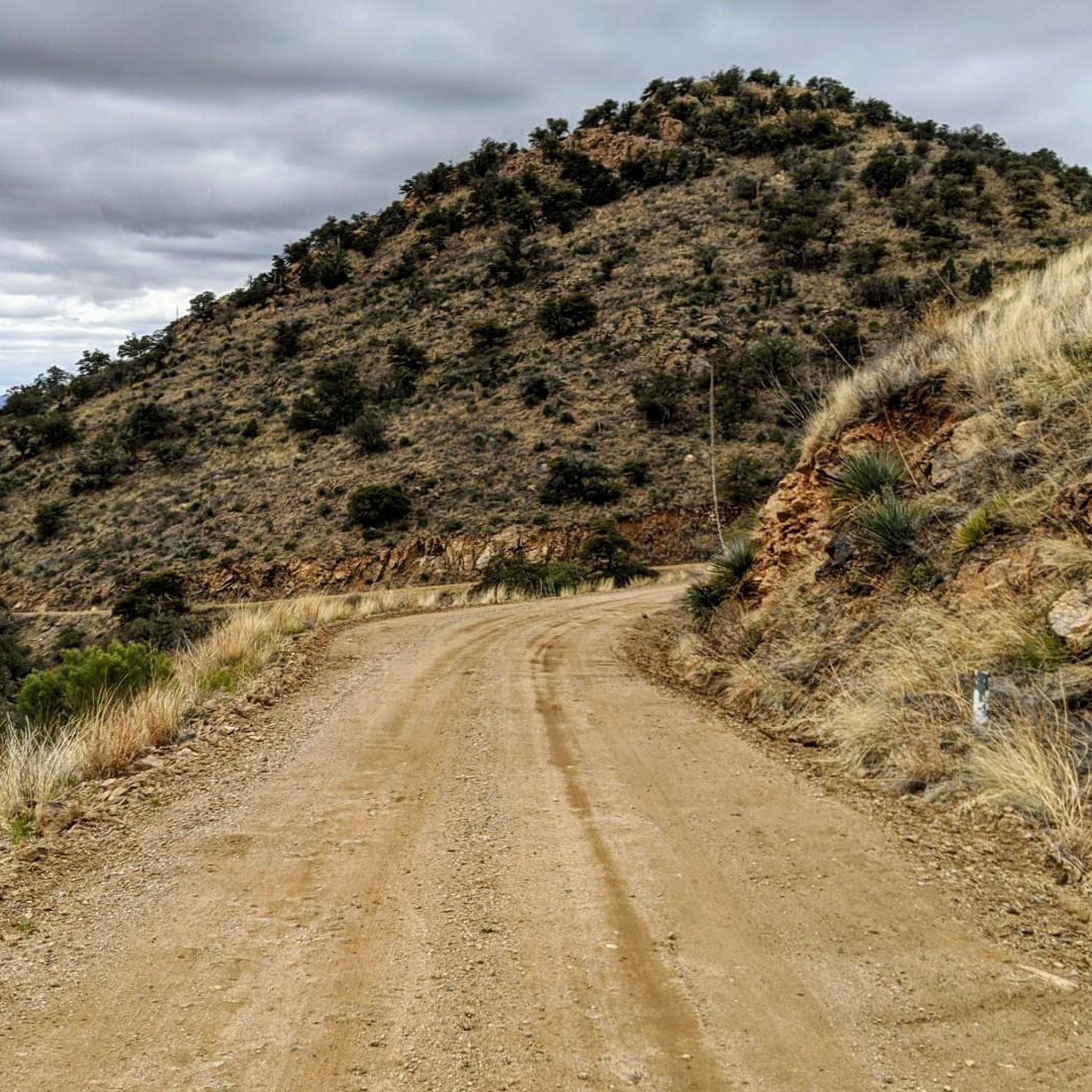
Hiking around Rio Rico offers a diverse landscape characterized by rugged terrain, desert canyons, and scenic valleys. The region features a network of trails that traverse impressive rock formations and follow the Santa Cruz River. This area provides opportunities for outdoor enthusiasts to explore its natural features and unique flora. The trails cater to various skill levels, from leisurely walks to more challenging ascents.
Best hiking trails around Rio Rico
- The most popular hiking route is Tubac Presidio – Tumacacori…
Last updated: June 25, 2026
2
hikers
6.25km
01:35
0m
30m
Easy hike. Great for any fitness level. Easily-accessible paths. Suitable for all skill levels.
2.25km
00:36
0m
70m
Easy hike. Great for any fitness level. Easily-accessible paths. Suitable for all skill levels.

Sign up for free
2.25km
00:36
0m
70m
Easy hike. Great for any fitness level. Easily-accessible paths. Suitable for all skill levels.
2.14km
00:33
0m
10m
Easy hike. Great for any fitness level. Easily-accessible paths. Suitable for all skill levels.
4.5
(2)
7
hikers
14.7km
03:44
50m
50m
Moderate hike. Good fitness required. Easily-accessible paths. Suitable for all skill levels.
Our route recommendations are based on thousands of hikes, rides, and runs completed by other people on komoot.
Start today with a free account
Your next adventure awaits.
Login or Signup
Popular around Rio Rico
Frequently Asked Questions
How many hiking trails are available around Rio Rico?
There are 6 hiking routes around Rio Rico listed in this guide, ranging from easy strolls to moderate adventures. You'll find a diverse landscape to explore, from river trails to historic paths.
Are there easy hiking trails suitable for beginners in Rio Rico?
Yes, Rio Rico offers several easy trails perfect for beginners. For example, the Anza Trail: Tumacácori to Tubac is an easy 6.2 km route, and the Sonoita Creek Trail provides a pleasant 2.2 km walk. These trails generally have minimal elevation gain, making them accessible for most.
What kind of terrain can I expect on hikes in Rio Rico?
The terrain around Rio Rico is quite diverse, characterized by rugged desert landscapes, scenic canyons, and impressive rock formations. Many trails follow riverbeds, like the Santa Cruz River, offering a mix of flat paths and gentle inclines. You'll encounter classic Arizona desert flora and fauna, with some trails providing views of mountains and open ranges.
Are there any family-friendly hiking options in Rio Rico?
Absolutely. Many of the easier trails are suitable for families. The Juan Bautista de Anza National Historic Trail, with a trailhead at Guy Tobin in Rio Rico, is a great option for a historical and accessible walk. The relatively flat and shorter routes are ideal for outings with children.
Can I bring my dog on the hiking trails in Rio Rico?
Many trails in the Rio Rico area are dog-friendly, but it's always best to check specific park or trail regulations before heading out. Generally, dogs are welcome on a leash. The New Mexico & Arizona Railroad Trail (also known as the Railroad Grade Trail) is noted as popular for both hiking and equestrian use, suggesting a generally open environment for pets.
What natural features or landmarks can I see while hiking in Rio Rico?
Hikers in Rio Rico can discover a variety of natural and historical features. You might encounter striking desert canyons, impressive rock formations, and scenic valleys. The area is also known for its diverse wildlife, including birds of prey. Keep an eye out for colorful wildflowers during blooming seasons, and you might even stumble upon hidden caves or ancient petroglyphs. The Tubac Presidio – Tumacacori Mission Cemetery loop offers a blend of natural beauty and historical significance.
Are there any circular hiking routes in Rio Rico?
Yes, there are circular routes available. The Tubac Presidio – Tumacacori Mission Cemetery loop from Tubac Presidio State Historic Park is a moderate 14 km loop that allows you to experience the landscape without retracing your steps.
What is the best time of year to go hiking in Rio Rico?
The cooler months, typically from late fall through spring (October to April), are generally considered the best time for hiking in Rio Rico. During these months, temperatures are more moderate, making for a more comfortable experience. Summers can be very hot, so if hiking then, it's advisable to start early in the morning and carry plenty of water.
Where can I find parking for hiking trails in Rio Rico?
Parking availability varies by trailhead. For trails like the Juan Bautista de Anza National Historic Trail, there's a dedicated trailhead at Guy Tobin in Rio Rico, which typically has parking facilities. For other routes, parking might be available at nearby parks or designated access points. It's always recommended to check specific trail information or park websites before your visit.
What do other hikers enjoy most about hiking in Rio Rico?
The area is highly rated by the komoot community, with an average score of 4.5 stars. Reviewers often praise the serene environment, the diverse landscapes of mountains and open ranges, and the opportunity to immerse oneself in nature away from urban life. The historical significance of trails like the Anza Trail also adds to the unique experience.
Are there any trails near water features like lakes or rivers?
Yes, the Santa Cruz River is a prominent natural feature in the area, and several trails run alongside it, offering scenic views and a different hiking experience. The Sonoita Creek Trail is a prime example of a route that follows a watercourse. Additionally, nearby attractions like Patagonia Lake State Park and Peña Blanca Lake offer opportunities to enjoy water features in a natural setting.
Most popular routes around Rio Rico

Get inspired with the komoot mobile app


Explore more
Browse the best Hikes in other regions.
