The best MTB trails in Corredor Ecológico Del Noreste
4.0
(2)
29
riders
5
rides
Mountain bike trails in Corredor Ecológico Del Noreste traverse a diverse landscape encompassing over 3,000 acres of coastal forests, wetlands, and mangroves. The region features varied terrain, including sandy paths, wooded areas, and sections with views of the El Yunque National Forest. Mountain bikers can expect a mix of challenges, from flat coastal routes to trails with moderate elevation changes. This protected area offers a unique environment for outdoor activities, characterized by its rich biodiversity and coastal ecosystems.
Best mountain…
Last updated: July 1, 2026
6
riders
45.6km
03:19
930m
930m
Hard mountain bike ride. Very good fitness required. Suitable for all skill levels.
7
riders
21.1km
01:36
290m
280m
Moderate mountain bike ride. Great for any fitness level. Advanced riding skills necessary.
2
riders
57.1km
03:17
530m
530m
Moderate mountain bike ride. Good fitness required. Suitable for all skill levels.
Get access to more routes and recommendations from other explorers.
Sign up for free
Already have an account?
Our route recommendations are based on thousands of hikes, rides, and runs completed by other people on komoot.
Start today with a free account
Your next adventure awaits.
Login or Signup
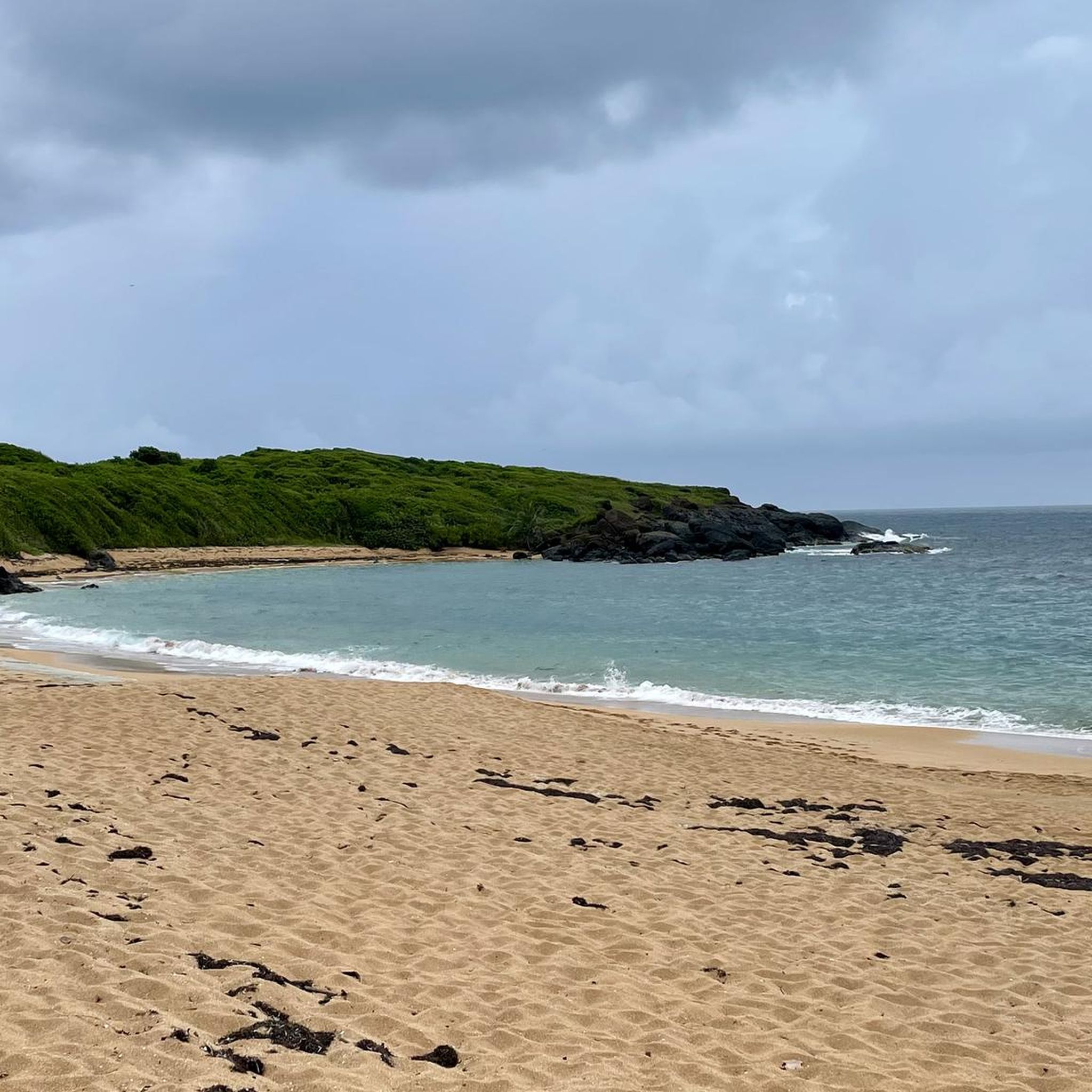
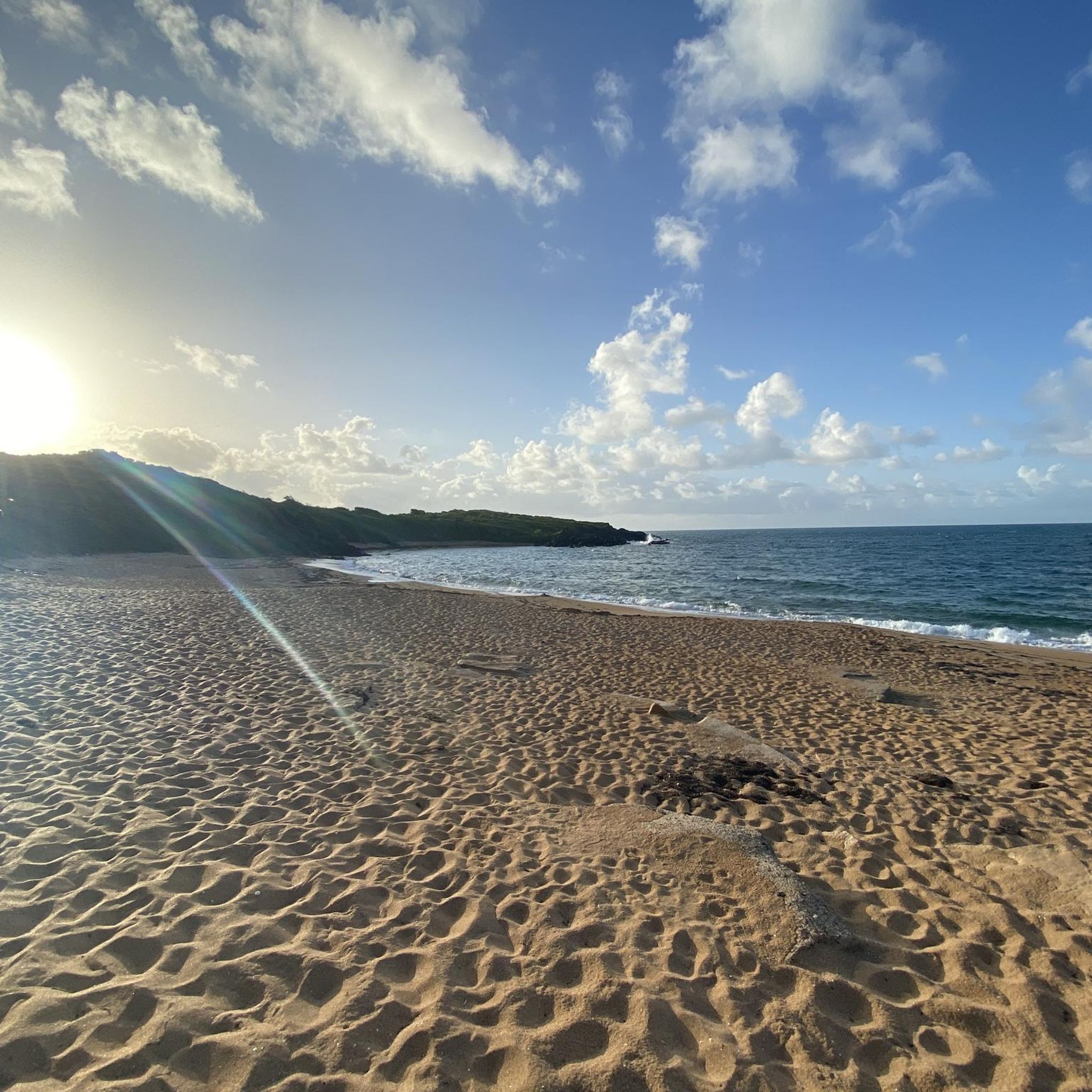

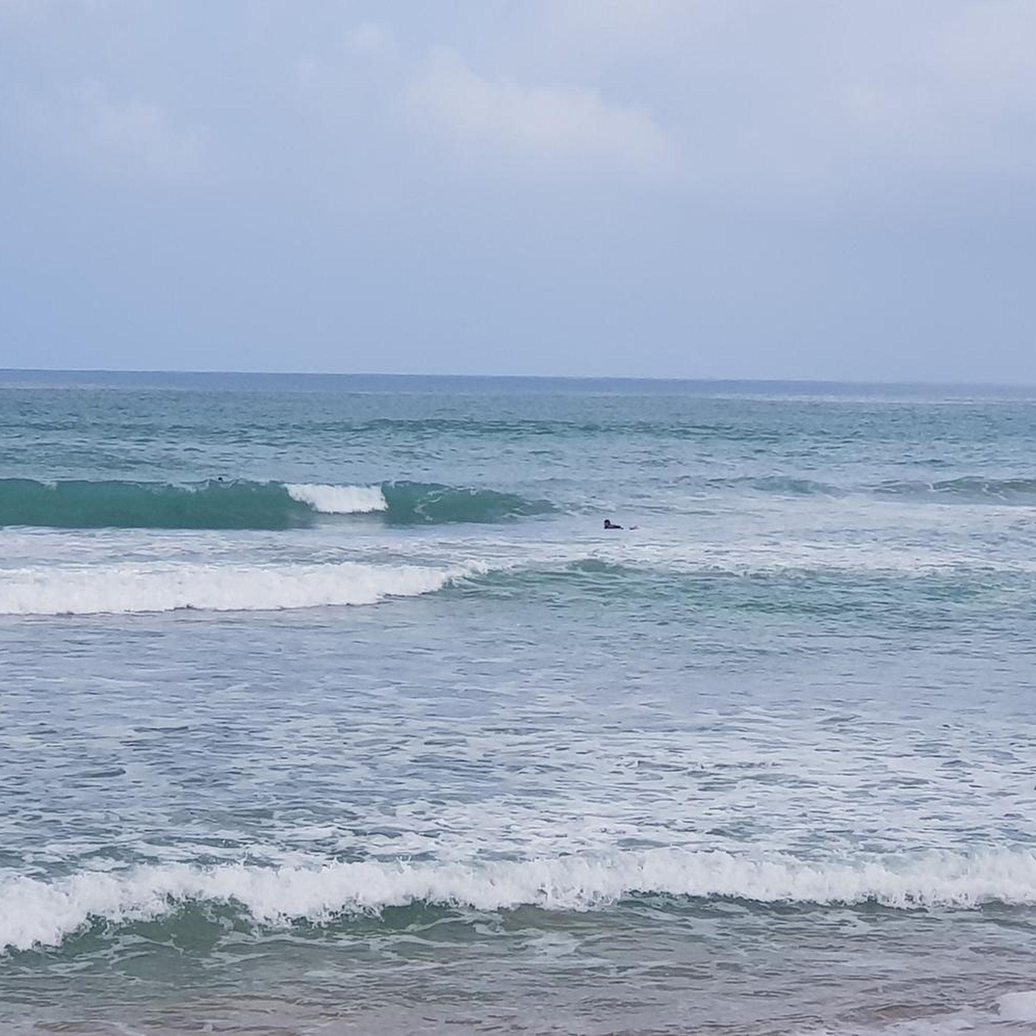
Tips from the Community

From the parking lot, cross walk along the roadway to see the actual waterfall. La Coca Trail trailhead is located on the same side as the parking area.
0
0

No excuse for not dipping into these cold, crystalline waters after a refreshing climb up the forest road.
0
1

This road is muddy for the first mile. If it has rained recently, the puddles can be quite deep and slobbery. If the weather is dry, it is possible to pass some puddles by bicycle. After that the rest of the trail is bordering the beach. There are some local roads that connect from this main road. To access them, you will have to go under a gate that you will see on the right at some point.
1
0

Worthwhile detour from the "Forest Road" - here you can visit 3 levels of the "Juan Diego" creek with 3 waterfalls of different heights. The first level can easily be reached via steps. The second level requires a bit of climbing. A climbing rope is used to help on site (see photos). The best place to refresh yourself is under the falling water. The 3rd level can be reached via a steep path, where you will find a beautiful natural pool for bathing, where the lowest frequency of people can be measured;) Don't forget your bathing suit. If all this is not enough for you, you can simply continue to walk in the opposite direction to the creek - adventure guaranteed;)
4
0
Frequently Asked Questions
How many mountain bike trails are there in Corredor Ecológico Del Noreste?
There are 5 mountain bike trails available in Corredor Ecológico Del Noreste, offering a range of experiences from easy coastal rides to challenging routes with significant elevation.
What are the difficulty levels of mountain bike trails in Corredor Ecológico Del Noreste?
The trails in Corredor Ecológico Del Noreste cater to various skill levels. You'll find 1 easy route, 3 moderate routes, and 1 difficult route, ensuring options for beginners and experienced riders alike.
Are there any family-friendly mountain bike trails in Corredor Ecológico Del Noreste?
Yes, for families or those seeking a more relaxed ride, the Playa Medio Mundo loop from Demajagua is an easy-rated trail. It covers 27.9 km with minimal elevation gain, making it suitable for a pleasant outing.
What kind of terrain can I expect on mountain bike trails in Corredor Ecológico Del Noreste?
The Corredor Ecológico del Noreste offers diverse terrain, including coastal forests, wetlands, and mangroves. Expect a mix of jeep trails, tough climbs, enjoyable downhills, technical singletrack sections, river crossings, rock gardens, sand, and mud, especially on trails like the "Corredor Ecologico" network.
Are there any notable natural features or landmarks to see while mountain biking?
Yes, the region is rich in natural beauty. Trails often pass through coastal forests and offer views of pristine beaches like La Pared, Seven Seas Beach, and Playa San Miguel. Some routes, such as the Juan Diego Creek – La Coca Falls loop from Luquillo and La Coca Falls loop from Luquillo, provide access to the stunning La Coca Falls and views towards El Yunque National Forest.
What is the best time of year to go mountain biking in Corredor Ecológico Del Noreste?
The Corredor Ecológico del Noreste is generally pleasant year-round. However, for the most comfortable riding conditions, consider visiting during the drier months, typically from December to April, to avoid the peak of the rainy season and potential muddy trails.
Is mountain biking in Corredor Ecológico Del Noreste dog-friendly?
While the Corredor Ecológico del Noreste is a protected natural area, specific regulations regarding dogs on mountain bike trails can vary. It's best to check with local authorities or park management directly before bringing your dog to ensure compliance with any rules or restrictions.
Where can I rent mountain bikes in the area?
Mountain bike rentals are available at Hacienda Carabali, which is located near the Corredor Ecológico del Noreste, offering a convenient option for visitors who don't bring their own equipment.
Can I find loop trails for mountain biking in the Corredor Ecológico Del Noreste?
Yes, several routes in the area are designed as loops. Examples include the Playa Medio Mundo loop from Demajagua, the Balneario Seven Seas loop from Fajardo, and the Villa Marina Yacht Basin loop from Ceiba, providing circular routes for your ride.
What do other mountain bikers say about the trails in Corredor Ecológico Del Noreste?
The mountain bike trails in Corredor Ecológico Del Noreste are highly rated by the komoot community, with an average score of 4.0 stars. Riders often praise the diverse landscapes, from coastal views to challenging forest sections, and the unique experience of riding through a protected ecological corridor.
Are there any permits required for mountain biking in Corredor Ecológico Del Noreste?
The Corredor Ecológico del Noreste is a protected area. While general access for outdoor activities is encouraged, it's advisable to check with the local Department of Natural and Environmental Resources (DRNA) or park management for any specific permit requirements for mountain biking, especially for certain sections or events.
Most popular routes in Corredor Ecológico Del Noreste

Get inspired with the komoot mobile app


