The best running trails in the Wet Mountains
29
runners
5
runs
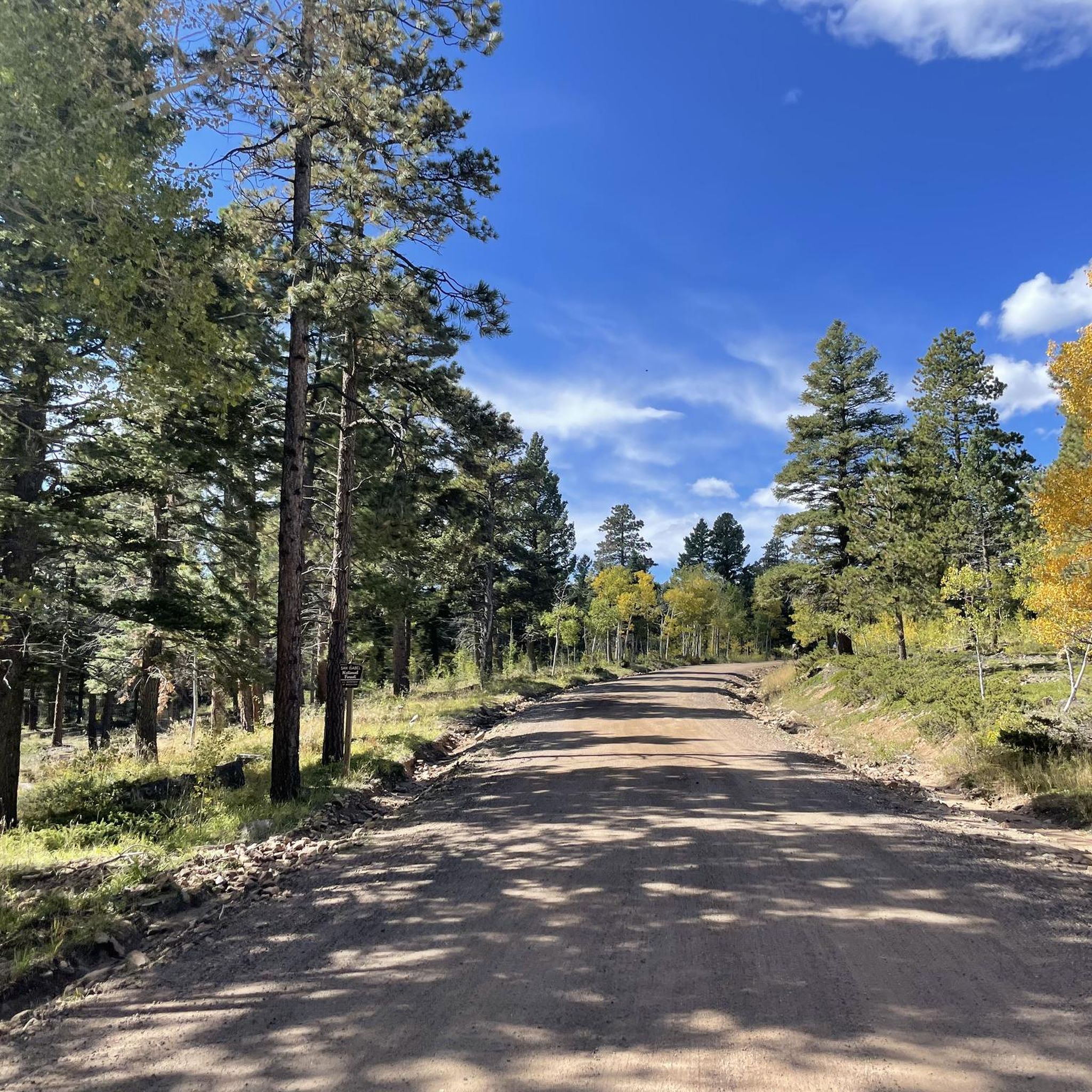
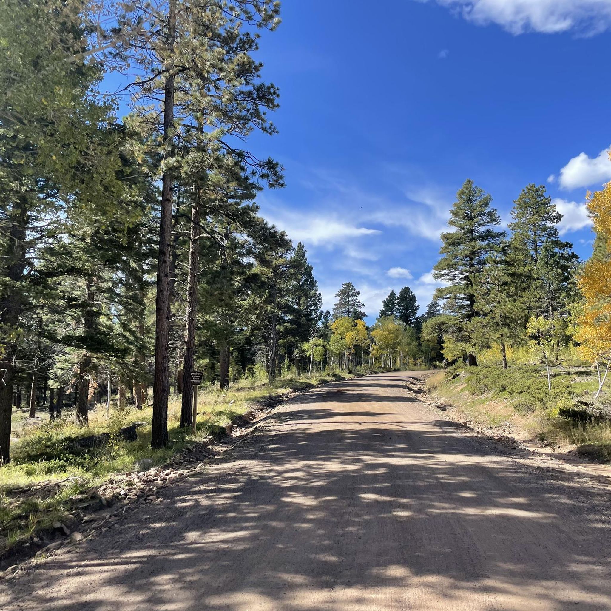
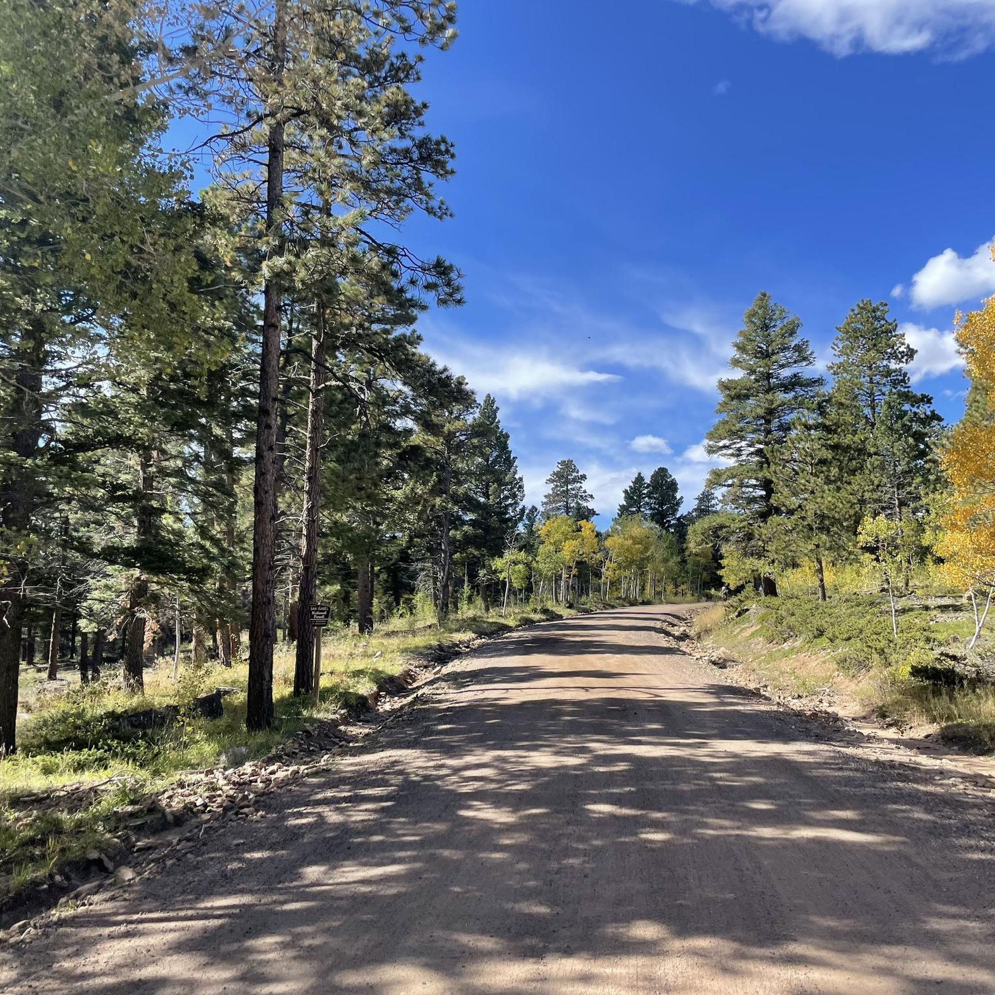
Jogging in the Wet Mountains offers diverse landscapes, from rolling hills to forested paths through aspen and pine. This sub-range of the Sangre de Cristo Mountains provides a varied topography ideal for running, with routes ranging from gentle inclines to more challenging trails. Much of the area is encompassed within the San Isabel National Forest and Greenhorn Mountain Wilderness Area, ensuring extensive trail systems and a tranquil environment. The region features numerous lakes, meadows, and river trails, including those along…
Last updated: October 15, 2026
8
runners
12.6km
01:32
60m
60m
Moderate run. Good fitness required. Mostly paved surfaces. Suitable for all skill levels.
7
runners
Moderate run. Good fitness required. Mostly paved surfaces. Suitable for all skill levels.

4
runners
Hard run. Very good fitness required. Mostly paved surfaces. Suitable for all skill levels.
5
runners
Moderate run. Good fitness required. Mostly paved surfaces. Suitable for all skill levels.
5
runners
6.66km
00:48
30m
30m
Moderate run. Good fitness required. Mostly paved surfaces. Suitable for all skill levels.
Our route recommendations are based on thousands of hikes, rides, and runs completed by other people on komoot.
Start today with a free account
Your next adventure awaits.
Popular around Wet Mountains
Tips from the Community

The Arkansas River Trail is a 5.6 mile loop on both sides of the Arkansas River. The trail is paved and mostly flat, so it is not a challenging trail. There are great views of the river for most of the trail.
0
0

Beautiful, easy and flat walk along the Arkansas River. The trail starts in downtown Cañon City, but has peaceful areas to chill, with some benches and picnic tables.
0
0

A beautiful trail above the Arkansas River with views of the surrounding canyon. It leads through several tunnels. Unfortunately we could not continue the trail because it is closed in early summer due to the offspring of protected animals. But even the short section is worth it.
1
0
Tunnel Drive starts at a small parking lot that is easily accessible from Canon City. It goes right up from the parking lot to the side of the mountain with great views of the Arkansas River below. A nice trail.
1
0
Frequently Asked Questions
What kind of terrain can I expect on running routes in the Wet Mountains?
The Wet Mountains offer a diverse range of terrain, from gentle, rolling hills to more challenging inclines. You'll find paths winding through abundant aspen and pine forests, open meadows, and alongside water features. The region is known for providing a less rugged experience compared to higher Colorado peaks, making it suitable for various running styles.
Are there any easy or beginner-friendly jogging trails in the Wet Mountains?
Yes, while many trails offer moderate challenges, some routes are relatively flat and well-suited for beginners. For instance, the Arkansas River Trail loop from Royal Gorge Route Railroad is a moderate option with minimal elevation gain, offering a good starting point for those new to trail running in the area.
Where can I find routes with scenic views in the Wet Mountains?
Many running routes in the Wet Mountains offer picturesque scenery. Trails within the San Isabel National Forest and near Greenhorn Mountain provide stunning views of the surrounding forests, the larger Sangre de Cristo range, and the Wet Mountain Valley. The area is particularly beautiful during autumn when the aspens change color.
Are there any circular running routes available?
Yes, several routes are designed as loops, allowing you to start and finish at the same point. For example, the Arkansas River Trail loop from Brookside offers a moderate circular run, perfect for exploring without needing to retrace your steps.
What are the options for longer distance running in the Wet Mountains?
For those looking for longer runs, the region provides several extended routes. The Arkansas River Trail loop from Lincoln Park is a more challenging option, covering over 15 kilometers with some elevation, ideal for building endurance.
Are there any dog-friendly running trails in the Wet Mountains?
Generally, trails within the San Isabel National Forest and surrounding areas are dog-friendly, though it's always best to keep your dog on a leash and check specific trail regulations. The less crowded nature of the Wet Mountains makes it a pleasant environment for running with your canine companion.
What is the best time of year to go jogging in the Wet Mountains?
The Wet Mountains are enjoyable for jogging for much of the year. Spring and fall offer pleasant temperatures and beautiful scenery, especially in autumn with the vibrant foliage. Summers are generally mild, while winters can bring snow, making some trails suitable for snowshoeing or cross-country skiing rather than traditional running.
Are there any trails that pass by interesting landmarks or natural features?
While specific routes listed here focus on the running experience, the broader Wet Mountains region is home to unique features. You might find trails near Lake Isabel, or explore areas with views of geological formations in Hardscrabble Canyon. Bishop Castle, a unique hand-built stone castle, is also located within the Wet Mountains and can be a point of interest.
What are the parking facilities like for running trails in the Wet Mountains?
Many trailheads in the Wet Mountains, especially those within the San Isabel National Forest or near popular recreational areas, offer designated parking. For example, routes like the Tunnel Drive Trail loop from Colorado Territorial Correctional Facility typically have accessible parking nearby, making it convenient to start your run.
How many running routes are available in this guide for the Wet Mountains?
This guide features 5 curated running routes in the Wet Mountains, ranging from moderate to difficult in intensity. These routes offer a good starting point for exploring the diverse landscapes of the region.
Are there less crowded running options in the Wet Mountains?
Yes, the Wet Mountains are often described as less traveled compared to other Colorado ranges, offering a sense of solitude. This makes it an excellent destination if you're seeking a peaceful jogging experience away from larger crowds, particularly on trails within the San Isabel National Forest and Greenhorn Mountain Wilderness Area.
Can I find routes with varied elevation for a more challenging run?
Absolutely. While some routes are relatively flat, others offer more significant elevation changes. For a moderate challenge with some climbing, consider the Tunnel Drive Trailhead loop from Royal Gorge Route Railroad, which provides a good workout with varied terrain.

Get inspired with the komoot mobile app


Explore more
Browse the best Running Trails & Routes in other regions.
