The best road cycling routes around Leupoldsgrün
4.7
(257)
3,223
riders
255
rides
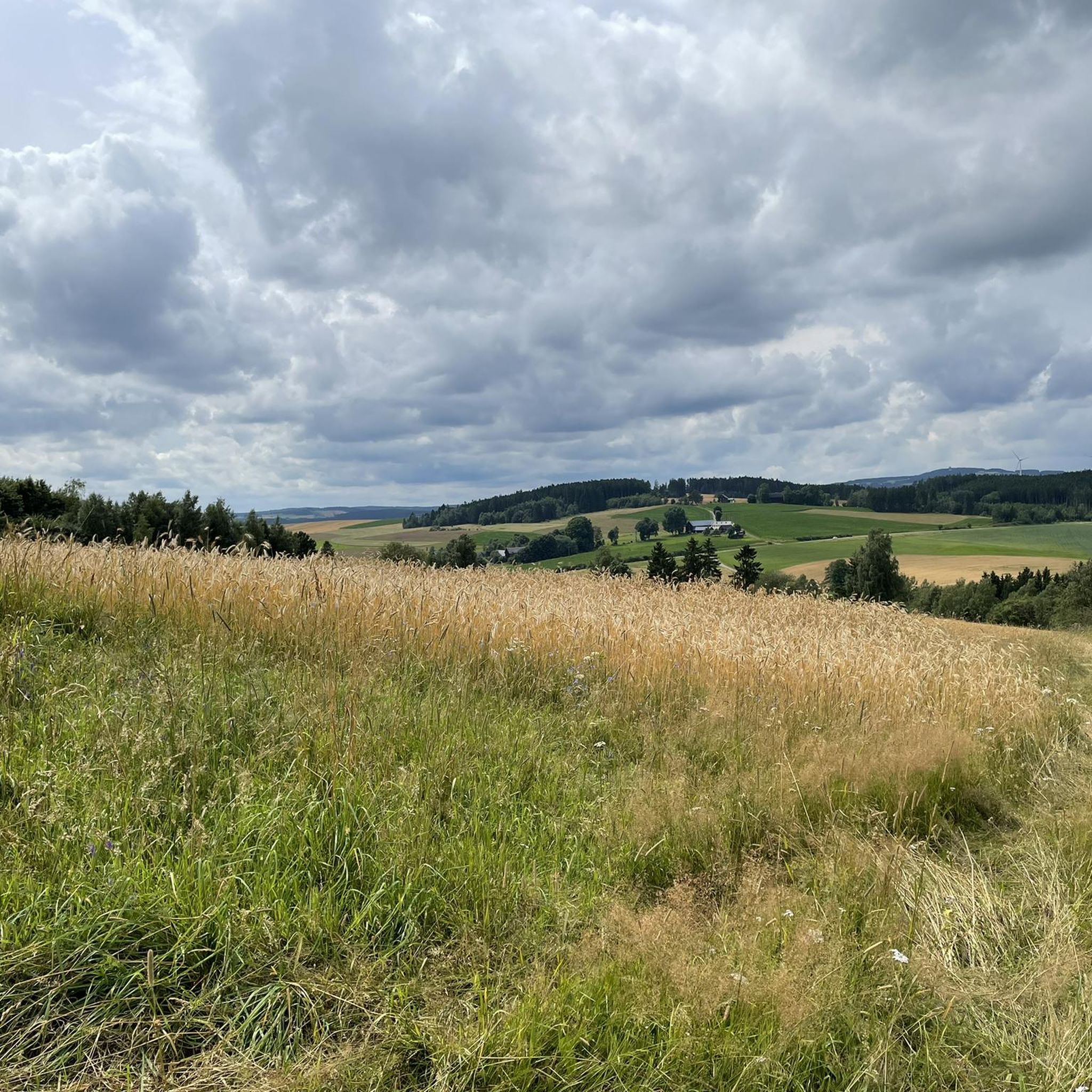
Road cycling around Leupoldsgrün offers diverse landscapes within Upper Franconia, Bavaria. The region is characterized by the forested areas of the Frankenwald and provides views of the Fichtelgebirge mountains from elevated points. Cyclists can explore varied terrain, from river valleys like the Höllental with the Selbitz river to higher elevations. The area is part of the Franconian Forest Nature Park, providing a natural setting for road bike trails.
Best road cycling routes around Leupoldsgrün
- The most popular road cycling route…
Last updated: July 10, 2026
16
riders
80.0km
04:19
1,360m
1,360m
Hard road ride. Very good fitness required. Some segments of this route may be unpaved and difficult to ride.
9
riders
67.0km
03:05
740m
740m
Moderate road ride. Good fitness required. Mostly well-paved surfaces and easy to ride.

Sign up for free
14
riders
38.6km
01:59
470m
470m
Moderate road ride. Good fitness required. Mostly well-paved surfaces and easy to ride.
4
riders
51.0km
02:31
630m
630m
Moderate road ride. Good fitness required. Mostly well-paved surfaces and easy to ride.
6
riders
27.2km
01:25
350m
350m
Moderate road ride. Good fitness required. Some segments of this route may be unpaved and difficult to ride.
Get access to more routes and recommendations from other explorers.
Sign up for free
Already have an account?
Our route recommendations are based on thousands of hikes, rides, and runs completed by other people on komoot.
Start today with a free account
Your next adventure awaits.
Login or Signup
Tips from the Community

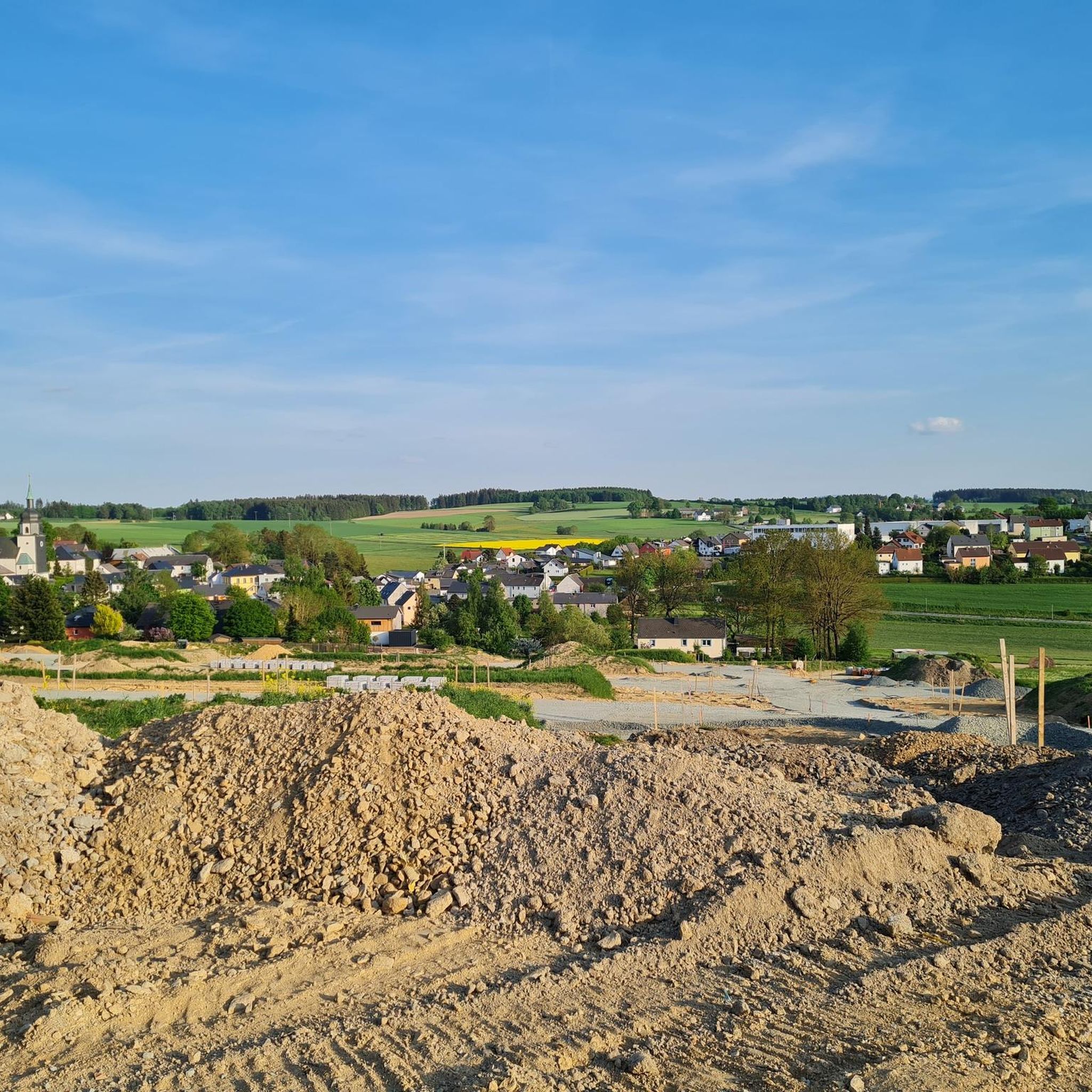
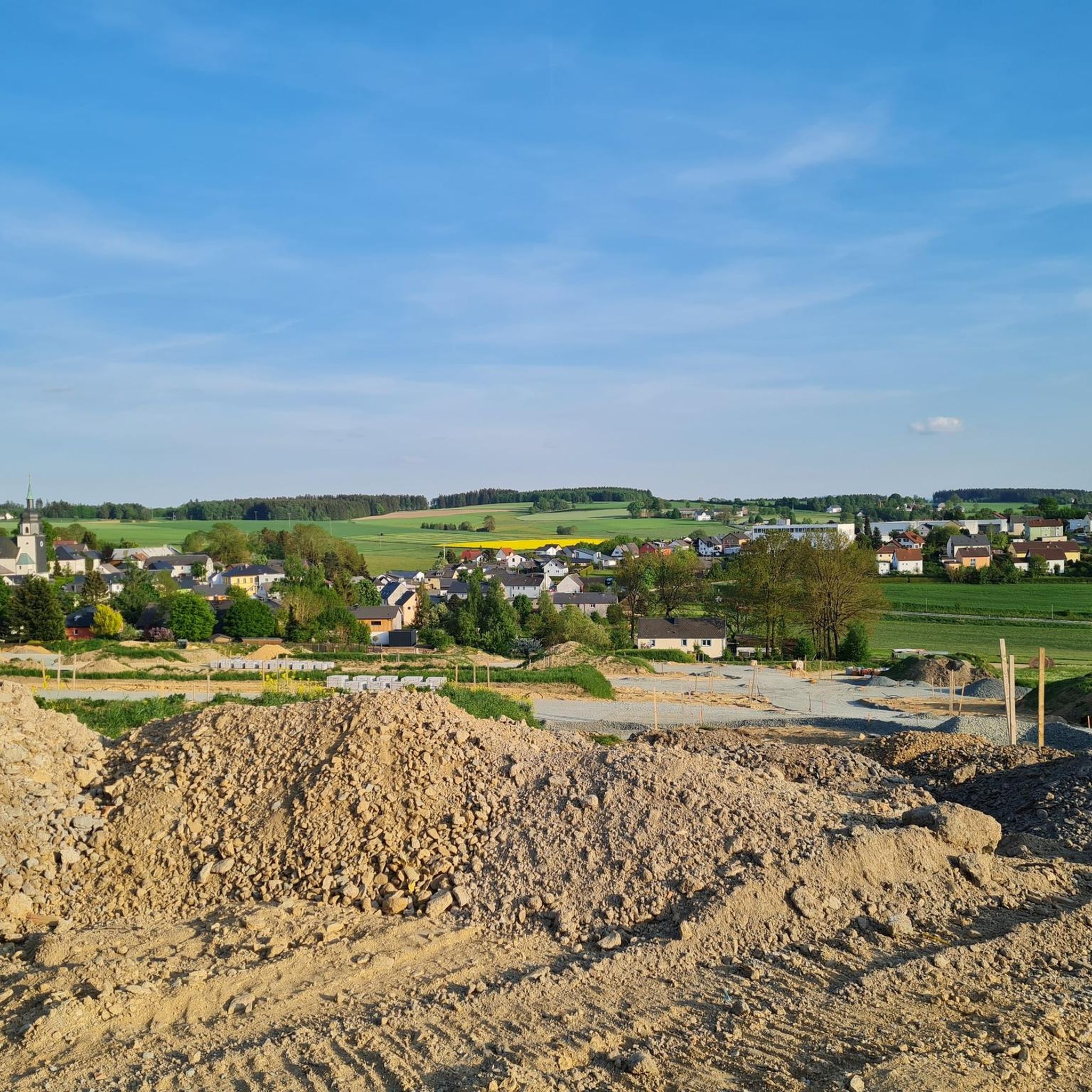
Magnificent view of the Fichtelgebirge
0
0

This old quarry impressed me a lot.
1
0

This small park has a covered rest area, and there are also several information boards with maps and tips for worthwhile hikes in the Frankenwald. A sign with a bicycle on it welcomes visitors.
12
0

An excellent cycle path on the former railway line. It's almost completely flat, free of potholes and uneven surfaces. The route is also relatively quiet, making it ideal for really picking up speed. The surrounding scenery is particularly charming. Overall, this cycle path is highly recommended.
0
0

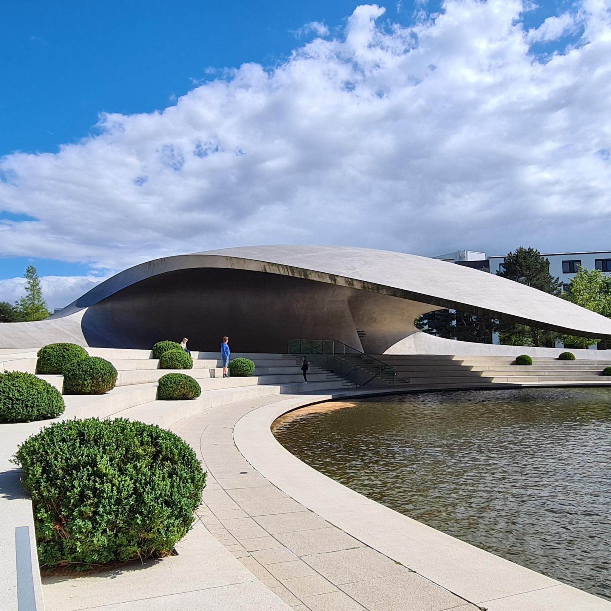
A very imaginative church in Weiß, in Weißdorf.
0
1

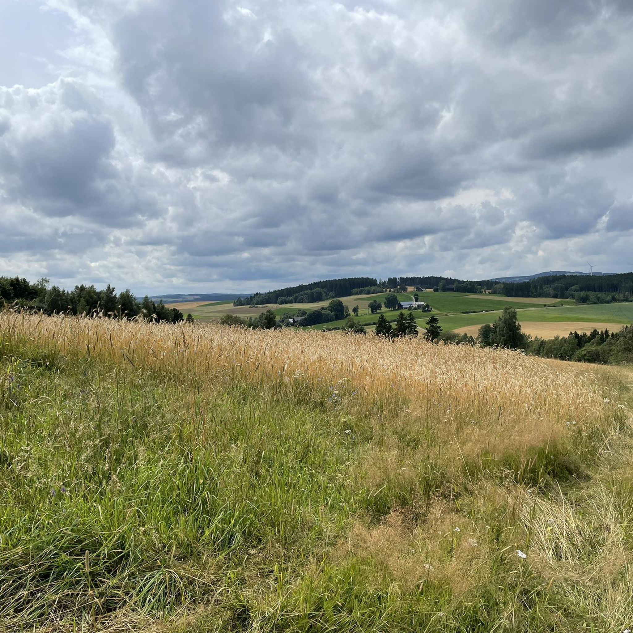
The route climbs gently almost continuously, gaining a total elevation of 150 meters. Unfortunately, more and more forest disappears along the route.
1
0
A little reminder that you are traveling on a former railway line.
0
0

It goes 10 km uphill, but never steep
0
0
Frequently Asked Questions
What kind of terrain can I expect when road cycling around Leupoldsgrün?
The region offers a diverse landscape, from the forested areas of the Frankenwald to scenic river valleys like the Höllental. You'll also encounter elevated points providing views of the Fichtelgebirge mountains. The routes feature a mix of climbs and descents, characteristic of Upper Franconia.
How many road cycling routes are available in the Leupoldsgrün area?
There are over 250 road cycling routes around Leupoldsgrün listed on komoot, catering to various skill levels. This includes 23 easy routes, 185 moderate routes, and 47 difficult routes, ensuring options for every cyclist.
Are there any family-friendly road cycling options near Leupoldsgrün?
While many road cycling routes involve varied terrain, some of the easier routes might be suitable for families with older children. For a more relaxed experience, consider exploring paths around the Untreusee, a local recreation area near Hof, which offers leisure activities and flatter sections.
What are some notable natural features or landmarks I can see along the road cycling routes?
You can encounter several natural highlights. The striking Höllental (Hell Valley) with the Selbitz river is a prominent feature, where you might cross historic bridges like the Jungfernsteg. From elevated points, you can enjoy views of the Fichtelgebirge mountains, and the Untreusee offers a pleasant lakeside environment.
What is the best time of year for road cycling in Leupoldsgrün?
April is noted as a popular month for cycling in the region, suggesting spring offers pleasant conditions. Generally, late spring through early autumn (April to October) provides the most favorable weather for road cycling, with milder temperatures and less chance of snow or ice.
How can I get to the cycling routes using public transport, especially with my bike?
During the summer months, a 'Freizeit- und Fahrradbus' (leisure and bicycle bus) operates and stops in Leupoldsgrün. This service allows cyclists to easily transport their bikes to and from various starting points, enhancing accessibility to the region's routes.
Are there challenging road cycling routes for experienced riders?
Yes, Leupoldsgrün offers 47 difficult road cycling routes. An example is the Sparnberg Wooden Bridge – Bleiloch Dam loop from Köditz, which is 49.7 miles (80.0 km) long with over 1,350 meters of elevation gain, taking approximately 4 hours and 19 minutes to complete. This route features significant climbs and scenic dam views.
Where can I find parking for my car when starting a road cycling tour?
While specific parking locations for each route are not detailed, Leupoldsgrün is equipped to support cyclists. The presence of e-bike charging stations 'Am Anger' suggests central areas within the municipality likely offer parking facilities suitable for accessing routes.
What do other road cyclists think about the routes in Leupoldsgrün?
The road cycling routes around Leupoldsgrün are highly regarded by the komoot community, with an average rating of 4.6 stars from over 240 reviews. Cyclists often praise the varied terrain, the natural beauty of the Frankenwald, and the well-maintained paths.
Are there any easy or beginner-friendly road cycling routes in the area?
Yes, there are 23 easy road cycling routes available around Leupoldsgrün. These routes typically feature less elevation gain and shorter distances, making them ideal for beginners or those seeking a more relaxed ride. For example, the Steinbühl Quarry Lake – Peace Oak, Lippertsgrün loop from Selbitz is a moderate 27.2 km route that could be a good starting point.
Can I find places to eat or stay overnight that are cyclist-friendly in Leupoldsgrün?
Leupoldsgrün is a community that supports cycling, indicated by its cycling group and infrastructure. While specific cafes or accommodations are not listed, the active cycling community suggests that local establishments are generally welcoming to cyclists. It's advisable to check local listings for cyclist-friendly options.
Are there any routes that follow river valleys or offer water views?
Absolutely. The region is known for its river valleys. The Selbitz Railway Arch Bridge – Selbitztal Cycle Path loop from Selbitz, for instance, follows the Selbitz river, offering scenic river valley views and passing historical railway structures. Additionally, routes around the Untreusee provide beautiful lake vistas.
Most popular routes around Leupoldsgrün
Most popular attractions around Leupoldsgrün

Get inspired with the komoot mobile app


Explore more
Browse the best Road cycling routes in other regions.
