The best road cycling routes around Les Montets
4.0
(39)
2,446
riders
196
rides
Road cycling around Les Montets offers routes through the dramatic alpine landscapes of the French Alps, characterized by mountain passes, valleys, and views of the Mont Blanc range. The region features accessible climbs with varied gradients, connecting areas like Vallorcine and Chamonix. Road conditions are generally excellent, providing a suitable environment for diverse cycling experiences. The terrain includes significant elevation changes as routes ascend towards mountain passes and traverse scenic valleys.
Best road cycling routes around Les Montets
- The most popular road cycling route is Fields opposite Chalet-à-Gobet – Abbaye de Montheron loop from Les Montets, a 47.6 miles (76.7 km) trail that takes 3 hours 37 minutes to complete. This difficult route features significant elevation gain through varied terrain.
- Another top favourite among local road cyclists is Chateau d'Estavayer le Lac – Old Town, Estavayer‑le‑Lac loop from Cugy, a moderate 33.1 miles (53.3 km) path. This route offers a balanced challenge with moderate climbs and scenic views of the surrounding countryside.
- Local road cyclists also love the Old Town, Estavayer‑le‑Lac – Climb from Yvonand to Rovray loop from Cugy, a 23.8 miles (38.3 km) trail leading through rolling hills and rural landscapes, often completed in about 1 hour 49 minutes.
- Road cycling around Les Montets is defined by mountain passes, alpine valleys, and views of the Mont Blanc range. The network offers options for various ability levels, from moderate climbs to more difficult ascents.
- The routes in Les Montets are highly rated by the komoot community with an average score of 4.2 stars from over 30 reviews. More than 2,300 road cyclists have used komoot to explore Les Montets's varied terrain.
Last updated: July 10, 2026
3.0
(1)
57
riders
Hard road ride. Very good fitness required. Mostly well-paved surfaces and easy to ride.
5.0
(1)
43
riders
53.3km
02:46
770m
770m
Moderate road ride. Good fitness required. Mostly well-paved surfaces and easy to ride.

Sign up for free
30
riders
38.3km
01:49
480m
480m
Moderate road ride. Good fitness required. Mostly well-paved surfaces and easy to ride.
12
riders
93.6km
04:38
1,260m
1,260m
Hard road ride. Very good fitness required. Mostly well-paved surfaces and easy to ride.
20
riders
96.6km
05:18
1,750m
1,750m
Hard road ride. Very good fitness required. Mostly well-paved surfaces and easy to ride.
Get access to more routes and recommendations from other explorers.
Sign up for free
Already have an account?
Our route recommendations are based on thousands of hikes, rides, and runs completed by other people on komoot.
Start today with a free account
Your next adventure awaits.
Login or Signup
Tips from the Community

nice place in the old town.
0
0

view of the beautiful lake
6
0

Super beautiful medieval townscape
0
0

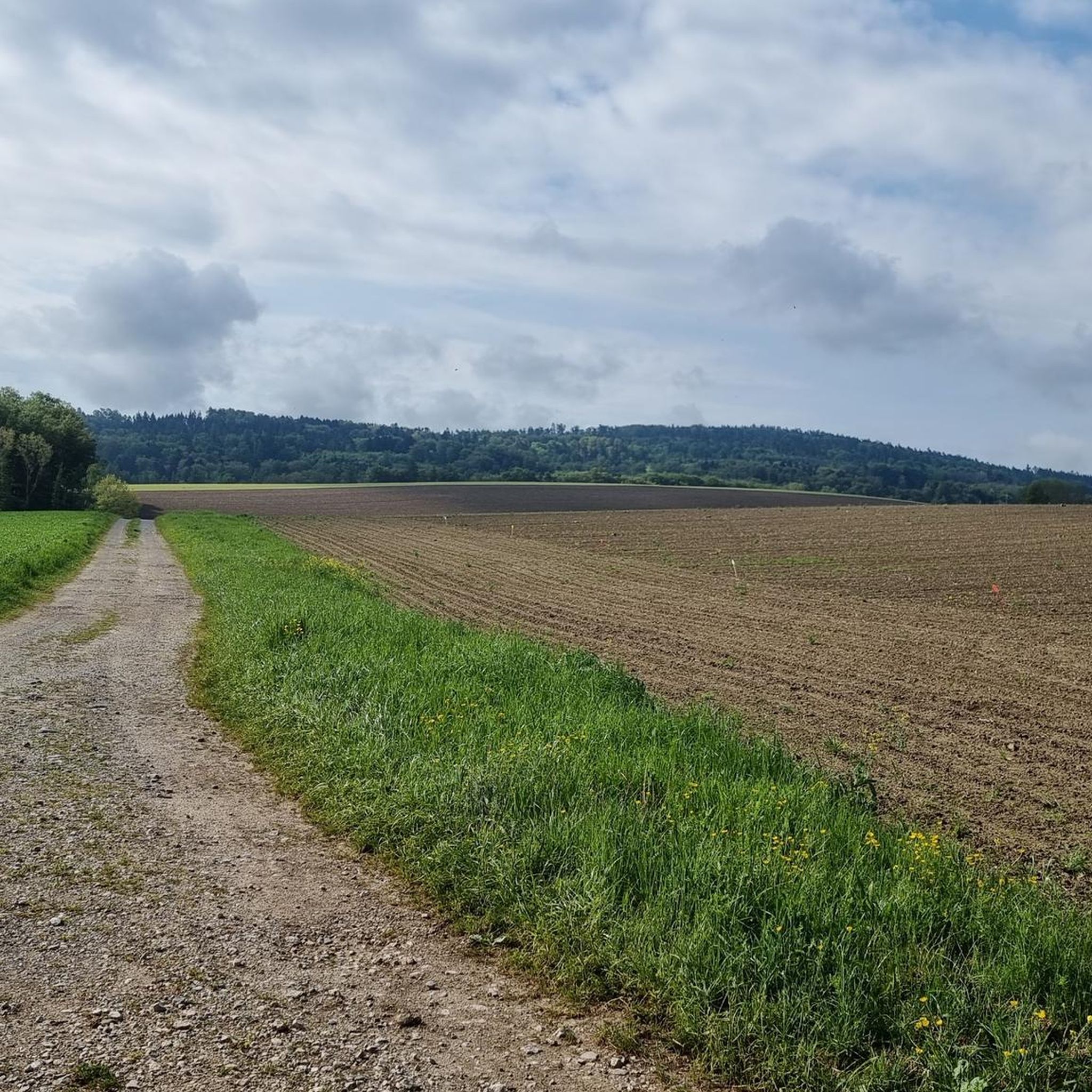
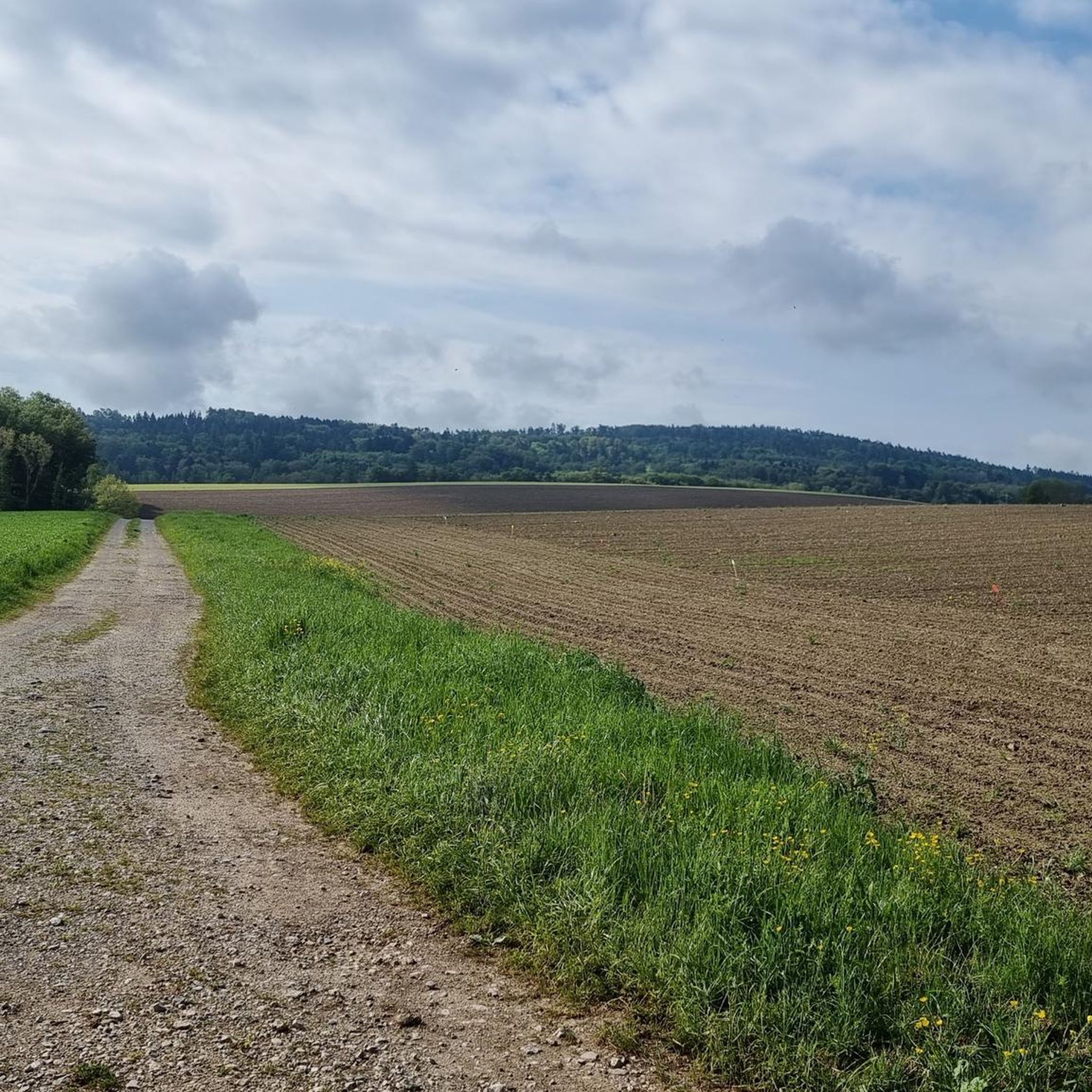
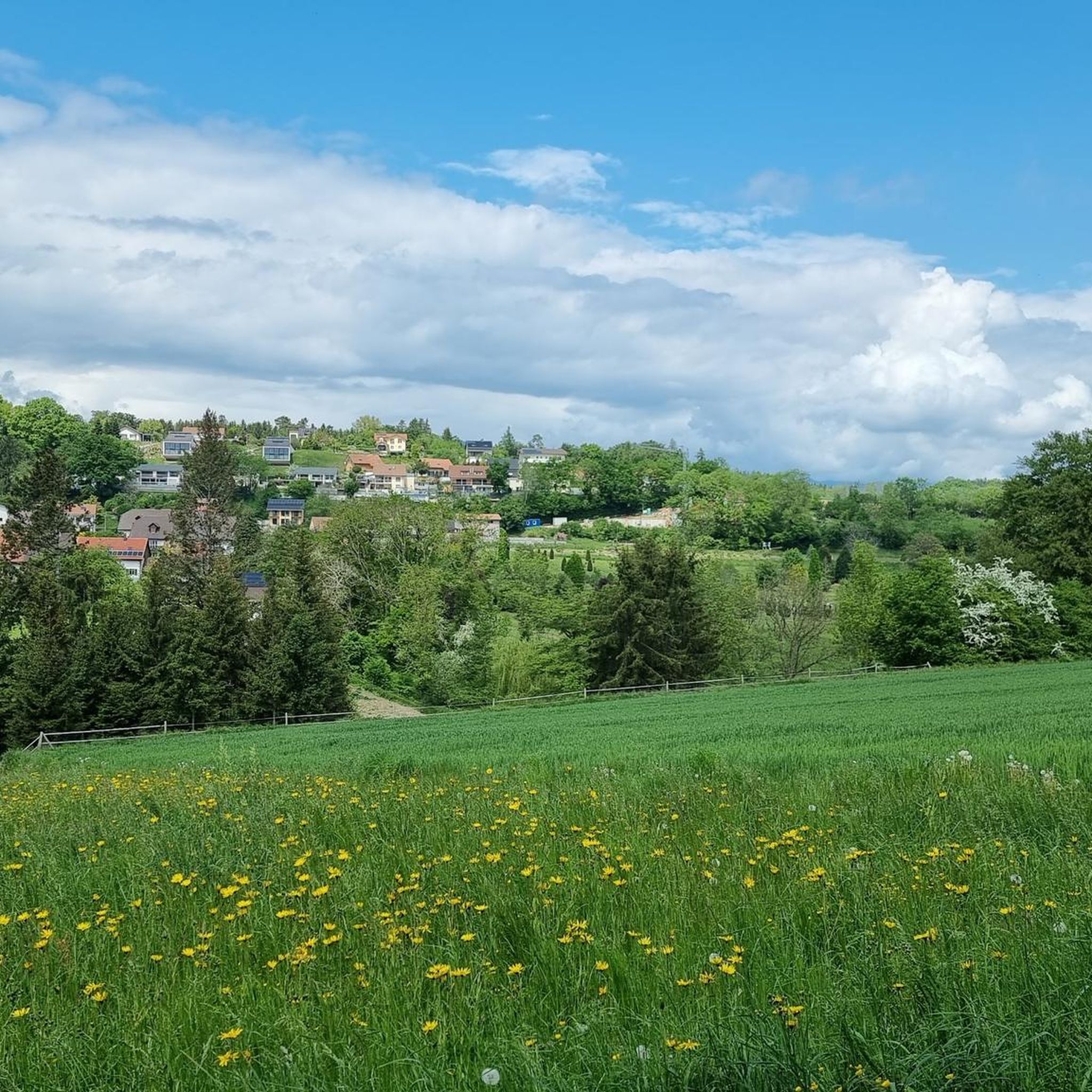
A beautiful stretch of field opposite the village of Chalet-à-Gobet gives way to the surrounding forest of the Parc Naturel du Jorat.
2
0

Steile Strasse at Col des Etroits
0
0
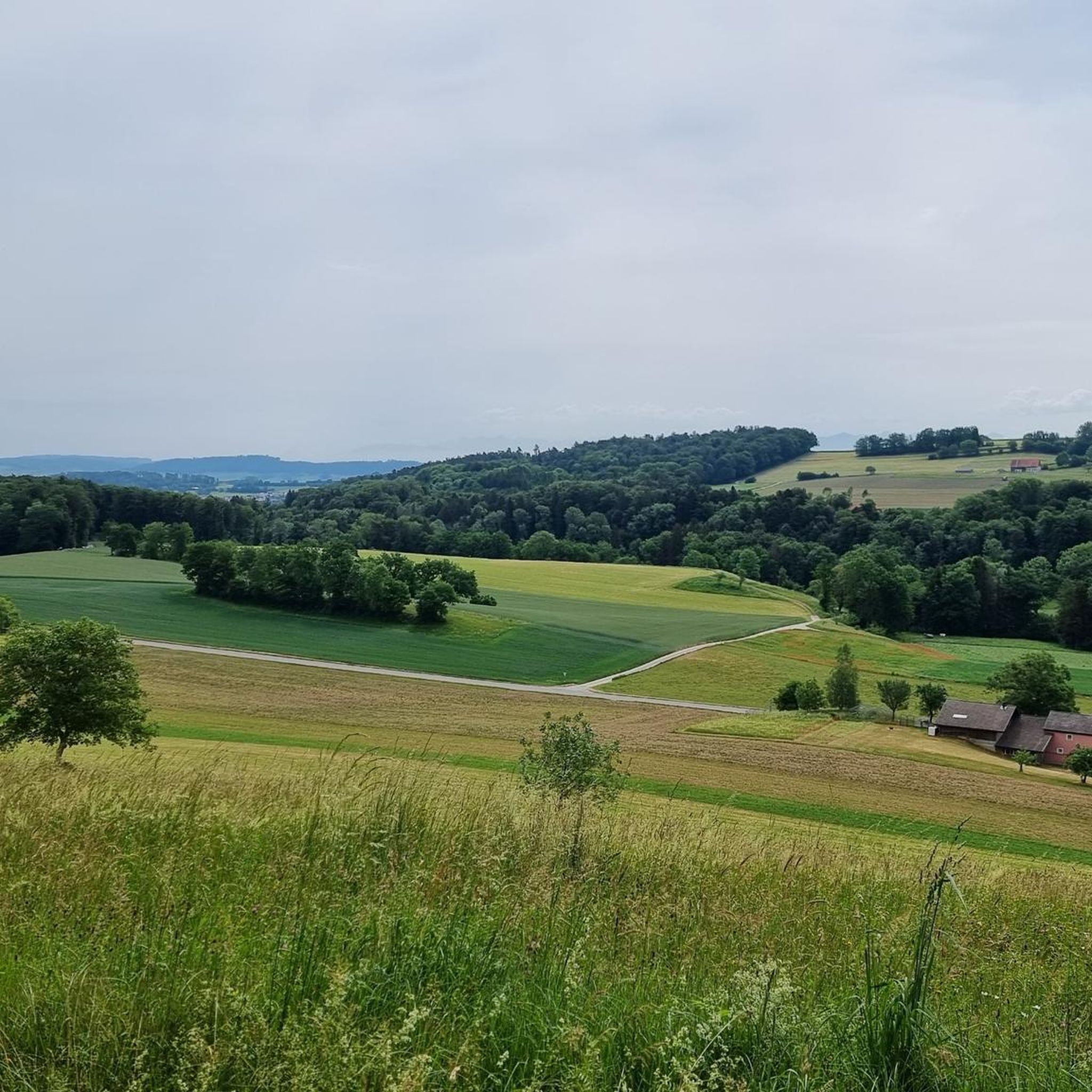
Beautiful views of the Jura and little traffic
1
0

The Col des Etroits offers three beautiful 3rd category climbs for cyclists. The longest starts in France, at La Gauffre - 13.8km with an average slope of 2.7% and 7.9% over the steepest 100m (at the very end of the ascent) From Butte, we are dealing with 8.8km at 4.4% on average and 11.3% on the steepest 100m. From Vuiteboeuf, it involves climbing 11.4km at an average gradient of 4.9% and 10.5% over the steepest 100m (at the start of the ascent).
2
0
Frequently Asked Questions
How many road cycling routes are available around Les Montets?
There are over 200 road cycling routes available around Les Montets, offering a wide range of options for different skill levels and preferences. The komoot community has explored these routes over 2,300 times.
What is the typical terrain and elevation like for road cycling in Les Montets?
Road cycling in Les Montets is characterized by dramatic alpine landscapes, featuring mountain passes, valleys, and stunning views of the Mont Blanc range. Routes often involve significant elevation changes as they ascend towards passes like the Col des Montets, which has manageable gradients, making it suitable for various fitness levels. Road conditions are generally excellent.
What are the difficulty levels of road cycling routes in Les Montets?
The routes around Les Montets cater to various abilities. You'll find 23 easy routes, 130 moderate routes, and 49 difficult routes, ensuring options for both casual riders and those seeking a significant challenge.
When is the best time of year for road cycling in Les Montets?
The summer months are generally the best time for road cycling in Les Montets, as the mountain passes are clear of snow and the weather is most favorable. This allows for full access to the scenic routes and panoramic views of the Mont Blanc range.
Are there any notable landmarks or natural features to see while road cycling in Les Montets?
Absolutely! The region is rich in natural beauty and landmarks. You'll be cycling with views of iconic peaks like Mont Blanc and Aiguille Verte. The Cheyres Nature Reserve is nearby, and you might encounter natural monuments like the Waterfall in the Cheyres Nature Reserve or the Stone Cave. The Col des Montets itself offers panoramic views.
Can I find any castles or historical sites along the road cycling routes?
Yes, the broader region around Les Montets features several historical sites and castles. You could explore the charming town of Estavayer-le-Lac, or visit specific landmarks such as Chenaux Castle, Montagny Castle Ruins, or Château de Lucens.
Are there circular road cycling routes available in Les Montets?
Yes, there are many circular road cycling routes. For example, the difficult route, Fields opposite Chalet-à-Gobet – Abbaye de Montheron loop from Les Montets, is a 76.7 km loop. Another popular moderate option is the Chateau d'Estavayer le Lac – Old Town, Estavayer‑le‑Lac loop from Cugy, which is 53.3 km long.
What are some of the longer or more challenging road cycling routes in the area?
For a significant challenge, consider the Col des Étroits Pass – View of Sainte-Croix loop from Cugy, a difficult 96.6 km route with substantial elevation gain. Another demanding option is the Fields opposite Chalet-à-Gobet – Moudon-Lucens loop from Cugy, covering 93.6 km.
What are some options for easier road cycling routes around Les Montets?
While many routes involve climbs, there are easier options. The region offers 23 routes classified as 'easy'. You can find routes with more balanced challenges, such as the moderate Old Town, Estavayer‑le‑Lac – Climb from Yvonand to Rovray loop from Cugy, which is 38.3 km and leads through rolling hills.
What do other cyclists say about the road cycling experience in Les Montets?
The road cycling routes in Les Montets are highly rated by the komoot community, with an average score of 4.2 stars from over 30 reviews. Cyclists often praise the stunning alpine scenery, the well-maintained roads, and the rewarding climbs with panoramic views of the Mont Blanc range.
Is public transport or parking available for accessing road cycling routes in Les Montets?
The Col des Montets is accessible, and the broader Chamonix Valley area generally offers options for public transport, including trains and buses that connect various villages. Parking is typically available in towns and villages, though it's always advisable to check local regulations and availability, especially during peak season.
Can I find cafes or places to stop for refreshments along the road cycling routes?
Yes, the Chamonix Valley and surrounding villages like Vallorcine and Argentière, which are often part of cycling routes, offer various cafes, restaurants, and accommodations where you can stop for refreshments and breaks. The information center at Col des Montets can also provide local details.
Are there opportunities to combine road cycling with other outdoor activities in the Les Montets area?
Absolutely! The Les Montets and Chamonix-Mont Blanc area is an outdoor enthusiast's paradise. Beyond road cycling, you can enjoy hiking in the Aiguilles Rouges Nature Reserve, explore glaciers like Argentière, or even try mountaineering, paragliding, or trail running. Many trails cater to hikers of all levels, including routes to scenic spots like Lac Blanc.
Most popular routes around Les Montets
Most popular attractions around Les Montets

Get inspired with the komoot mobile app


Explore more
Browse the best Road cycling routes in other regions.
