Top 3 Natural Monuments around Dam Schönbrunn
Natural monuments around Dam Schönbrunn offer a landscape shaped by water features and forested hills. The area is characterized by its reservoir, which is deeply embedded between valleys and fed by streams. This region provides a setting for outdoor activities, with paths suitable for hiking and exploration. It combines natural beauty with man-made structures like the dam, creating a distinctive environment.
Best natural monuments around Dam Schönbrunn
- The most popular natural monument is Schönbrunn Reservoir, a lake that is…
Last updated: June 23, 2026
Schönbrunn Reservoir
Highlight • Lake
Translated by Google •
Tip by

Rennsteig ladder Dreiherrenstein-Oehrenstock
Highlight • Lake
The village has a rural character.
Translated by Google •
Tip by

Sign up now to discover places like this
Get recommendations on the best single tracks, peaks, & plenty of other exciting outdoor places.
Sign up for free
View of Haschbachkopf and Lütschetalsperre
Highlight • Viewpoint
👉 ⚠️ ⚠️ ⚠️
Please do not throw cigarette butts🚬 on the ground!!!
(🧨danger of explosion💣)
...but take them with you!
Translated by Google •
Tip by

Start today with a free account
Your next adventure awaits.
Login or Signup

Tips from the Community

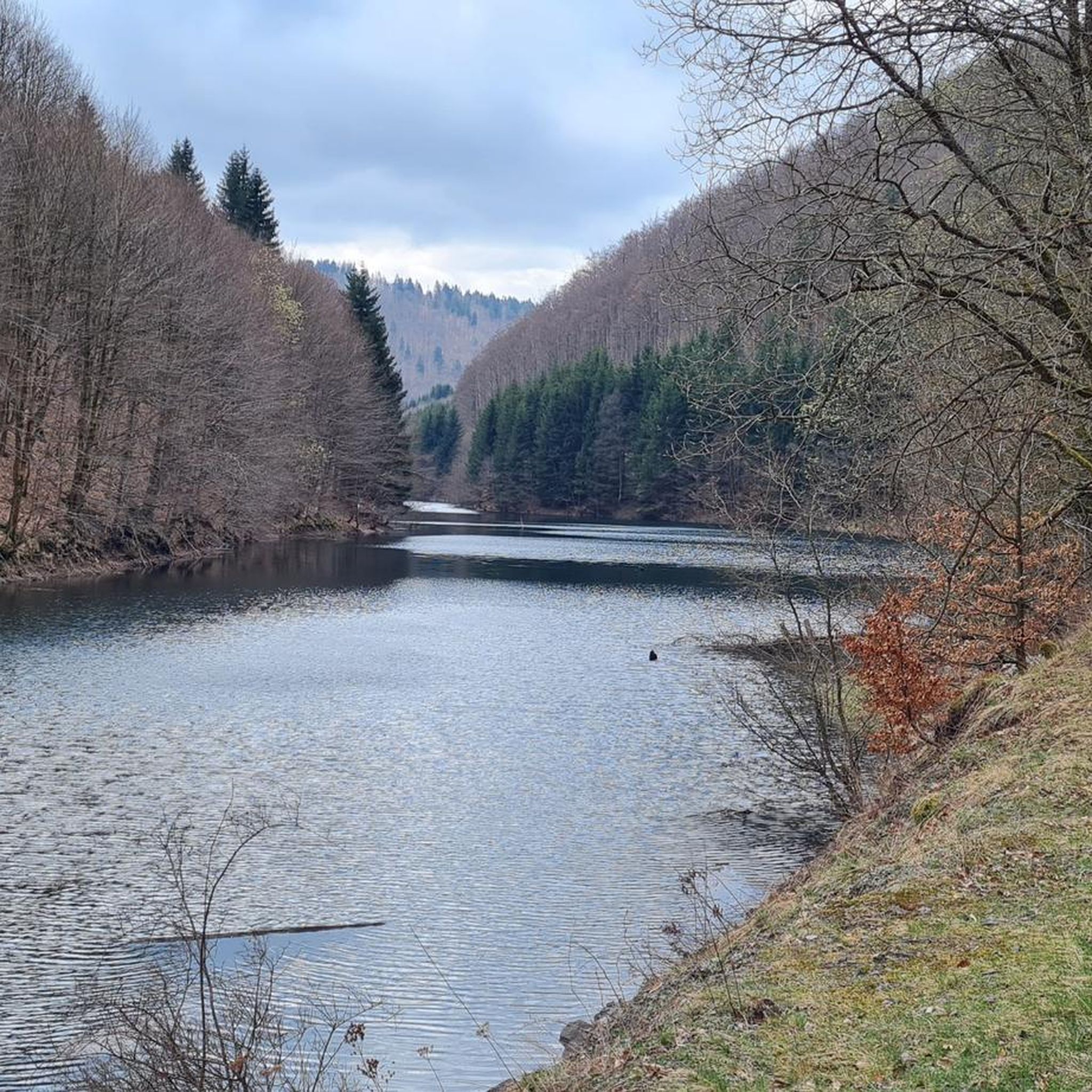
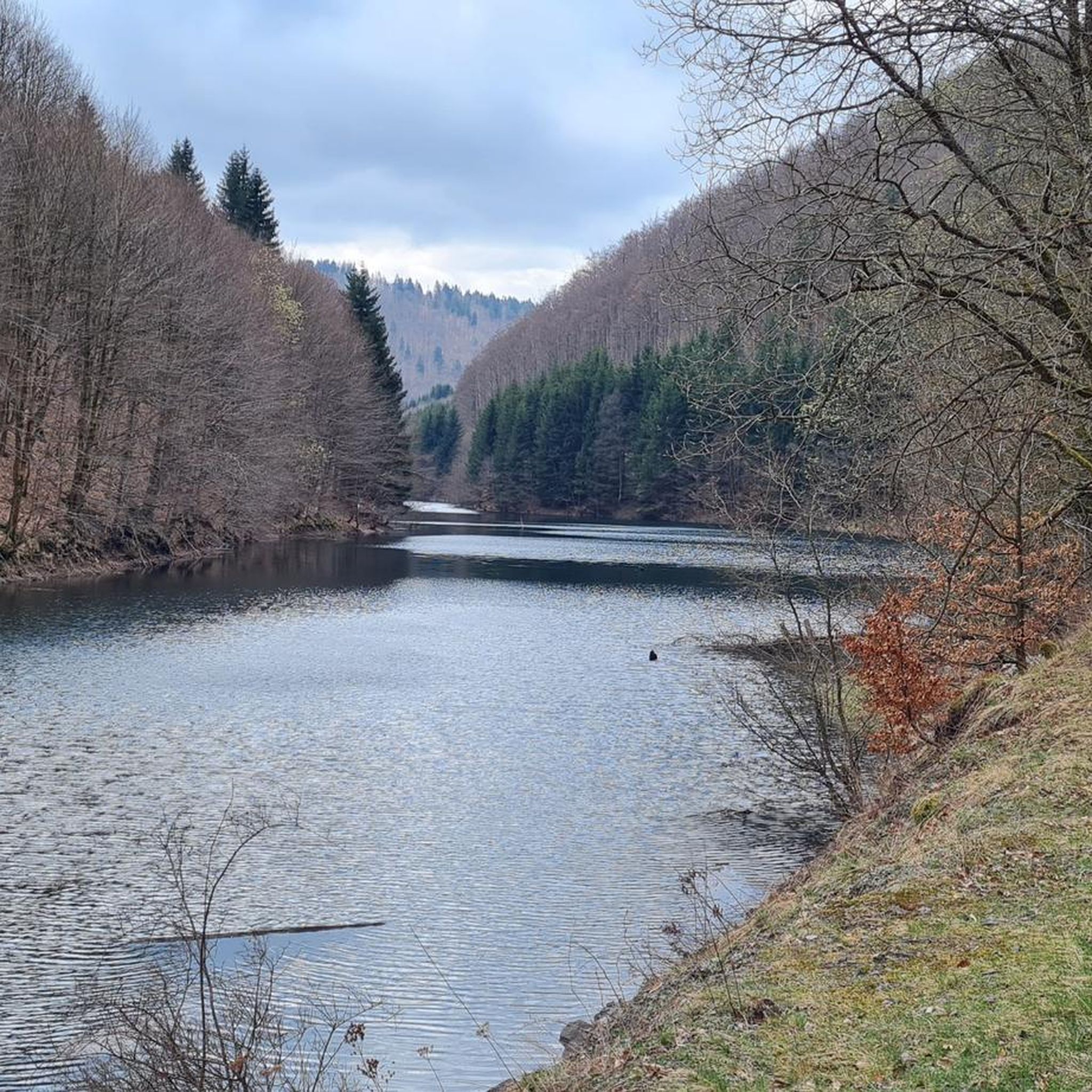
Fore-dam of the Schönbrunn drinking water reservoir 🙂
0
0

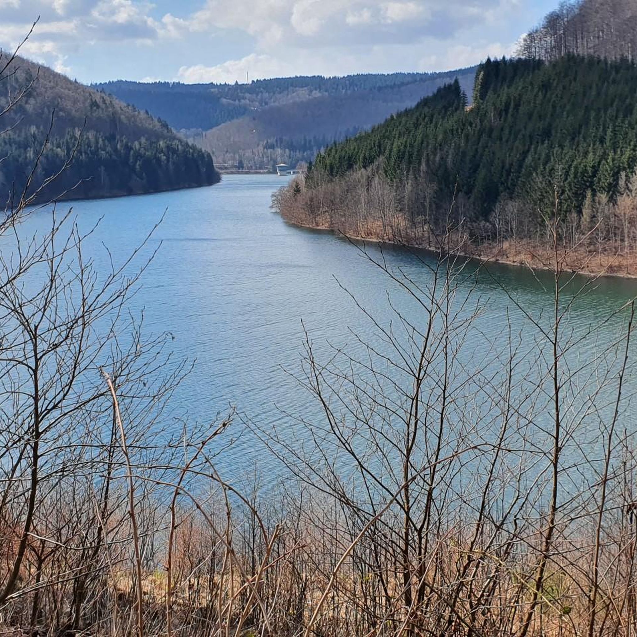
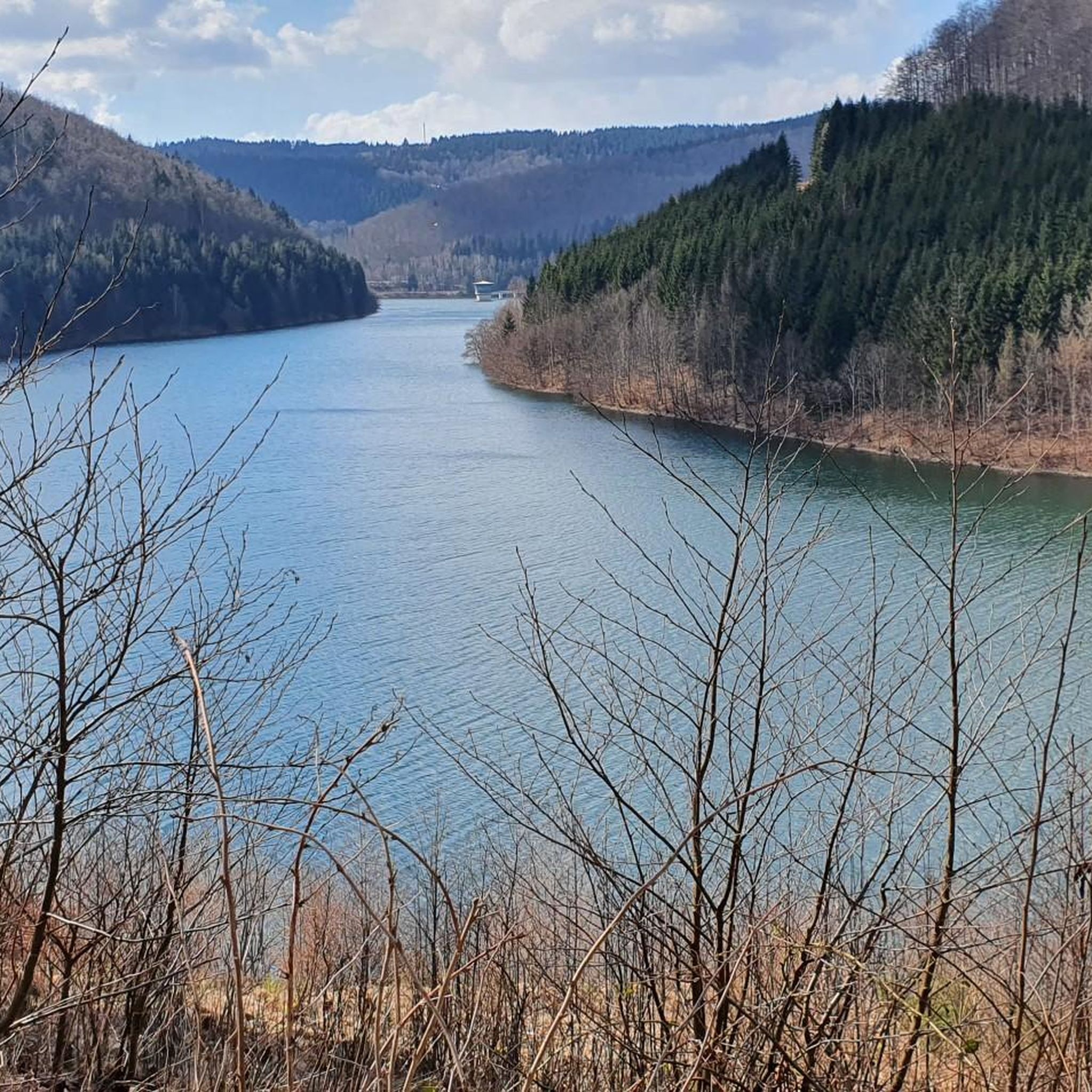
A very idyllic view for relaxing on the bench, 10 meters above the path... 👌😃 👉 ⚠️ ⚠️ ⚠️ Please do not throw cigarette butts🚬 on the ground!!! (🧨danger of explosion💣) ...but take them with you!
0
0

Circumnavigation of the dam, well developed.
2
0

Since we were lucky with the weather, the photos were quite acceptable. But all in all, the approx. 15 km long circular route unfortunately has nothing earth-shattering to offer along the way.
4
1

Very nice dam in Thuringia Ideal for hiking
4
0
Very nice dam, great for hiking.
1
0

The hike leads you up to the Rennsteig trail, past the small Dreiherrenstein (Three Lords' Stone) to the large Dreiherrenstein, located near the midpoint of the Rennsteig. The village has a rural character. Many residents used to supplement their income by farming small fields or raising a few cattle and pigs. Unfortunately, little of this remains after the collectivization of agriculture during the GDR era. Nevertheless, Oehrenstock has retained its very special charm. In winter, the village is a hidden gem for cross-country skiers. You can explore the area all the way up to the Rennsteig on wonderful cross-country ski trails. For a long time, the inhabitants lived from mining. You can take a trip back in time at the Volle Rose Adventure Mine. You will travel into the historic valley tunnel on the preserved mine train. You will experience firsthand how the valuable fluorspar was mined. Fluorspar is still used today in the production of, for example, coated pans and pots or functional clothing. On your way to the Rennsteig trail, you will reach the Dreiherrenstein (Three Lords' Stone) via the Alte Langewiesener Straße (Old Langewiesen Road). In the past, oxcarts lined up one after the other here. They transported ore from the Kamsdorf mining district along the ridge path to the arms manufacturing city of Suhl. The Great Dreiherrenstein was erected in 1596 and once separated the principalities of Schwarzburg-Sondershausen, Saxe-Meiningen, and Henneberg-Schleusingen. It is also something special for Rennsteig hikers. Because at this very point, you have completed half of the ridge path. Along the way, you also have the option of branching off towards Ilmenau on the "Rennsteig Ladder." (Source: https://www.outdooractive.com)
0
0

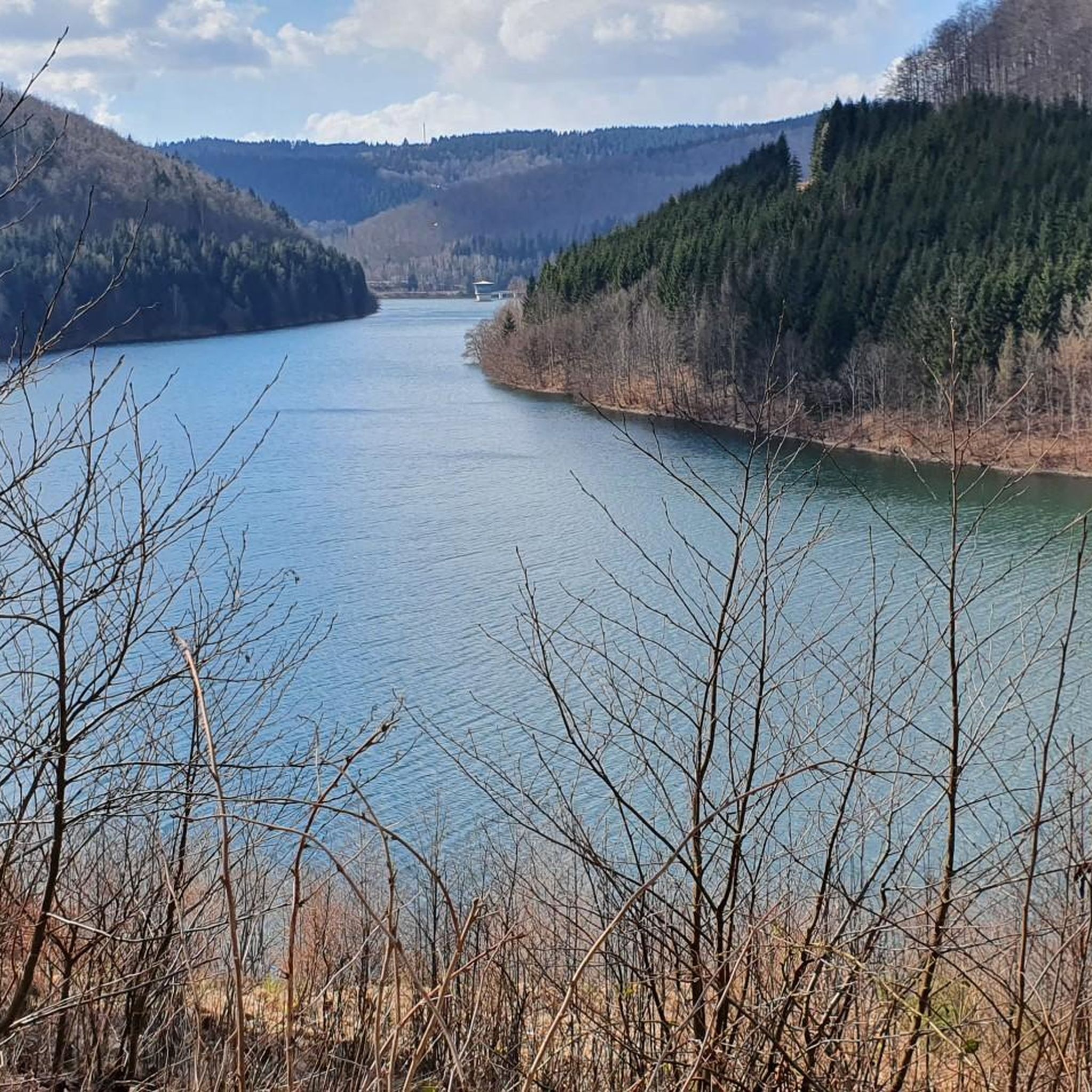
Deeply embedded between valleys, streams fill the pre-dam and the main basin of the Schönbrunn dam.
6
0
Frequently Asked Questions
What are the most popular natural monuments around Dam Schönbrunn?
The most popular natural monuments in the area include the Schönbrunn Reservoir, which is deeply embedded between valleys and offers beautiful views. Another highly regarded spot is the View of the Schönbrunn Dam control building, known for its well-developed circular route perfect for hiking or cycling.
Are there family-friendly natural monuments around Dam Schönbrunn?
Yes, several natural monuments around Dam Schönbrunn are considered family-friendly. The Schönbrunn Reservoir, the View of the Schönbrunn Dam control building, and the View of Haschbachkopf and Lütschetalsperre are all categorized as suitable for families, offering pleasant environments for walks and exploration.
What outdoor activities can I do near the natural monuments around Dam Schönbrunn?
The area around Dam Schönbrunn is excellent for various outdoor activities. You can enjoy hiking, with options ranging from easy to difficult, including circular routes around the reservoir. Mountain biking is also popular, with numerous trails available. For detailed routes, check out the guides for Family-friendly hikes around Dam Schönbrunn, MTB Trails around Dam Schönbrunn, and Hiking around Dam Schönbrunn.
What kind of natural features can I expect to see at Dam Schönbrunn?
You can expect to see beautiful lakes and reservoirs, such as the Schönbrunn Reservoir, which is a central feature. There are also numerous viewpoints offering panoramic vistas of the surrounding landscape, including forests and hills like Haschbachkopf. The area is characterized by its serene natural beauty and well-maintained trails.
How long does it take to explore the natural monuments around Dam Schönbrunn?
The time required to explore depends on your chosen activity and route. A simple walk around the Schönbrunn Reservoir can take a few hours, with routes like the 'Schönbrunn Reservoir – Schönbrunn Reservoir loop from Schleusegrund' being around 4 km. Longer hikes or bike rides can extend to a full day, with some routes exceeding 10-15 km. Many visitors enjoy spending a half to a full day immersing themselves in the scenery.
Are there any hidden natural gems or less-known spots near Dam Schönbrunn?
While the main dam and reservoir are well-known, exploring the trails further afield can reveal quieter spots. The Rennsteig ladder Dreiherrenstein-Oehrenstock, for instance, offers a blend of natural beauty and historical significance, leading to the Rennsteig trail and the Dreiherrenstein, a unique historical marker. This area provides a more secluded experience away from the main dam.
What is the best time of year to visit the natural monuments around Dam Schönbrunn?
The natural monuments around Dam Schönbrunn are beautiful year-round. Spring and autumn offer pleasant temperatures for hiking and vibrant foliage. Summer is ideal for longer outdoor activities, while winter transforms the landscape into a serene, snow-covered wonderland, perfect for cross-country skiing in areas like Oehrenstock.
Are dogs allowed on the trails around Dam Schönbrunn's natural monuments?
Generally, dogs are welcome on trails in natural areas, but it's always recommended to keep them on a leash, especially around wildlife and other visitors. Please ensure you clean up after your pet to maintain the natural beauty of the area for everyone.
What should I wear when visiting the natural monuments around Dam Schönbrunn?
Given the varied terrain and potential for different weather conditions, layered clothing is advisable. Comfortable hiking shoes are essential for exploring the trails. Depending on the season, bring rain gear, sun protection, and sufficient water. For winter visits, warm, waterproof clothing and appropriate footwear are a must.
Where can I find parking when visiting the natural monuments around Dam Schönbrunn?
Parking facilities are typically available near the main access points to the Dam Schönbrunn area and its popular highlights. Specific parking locations can often be found by checking local maps or guidebooks for the starting points of popular hiking and cycling routes around the reservoir.
Are there any cafes or refreshment options near the natural monuments?
While the immediate vicinity of some natural monuments might be purely natural, the broader Dam Schönbrunn region and nearby villages often offer cafes and restaurants where you can find refreshments and meals. It's a good idea to check for options in towns like Schleusegrund before or after your outdoor adventure.
Most popular routes around Dam Schönbrunn
Most popular attractions around Dam Schönbrunn

Get inspired with the komoot mobile app


Explore more
Extend your search for the best caves by checking out these guides of the top ones around Dam Schönbrunn:
