The best cycling routes in Miller Peak Wilderness
27
riders
7
rides
Touring cycling routes near Miller Peak Wilderness offer access to the diverse landscapes of the Huachuca Mountains and the Coronado National Forest. This region features a transition from oak and grass vegetation at lower elevations to mixed conifer and aspen stands higher up, with elevations ranging from 5,200 feet to over 9,000 feet at Miller Peak. While cycling is not permitted within the designated wilderness area itself, the surrounding areas provide numerous trails and roads for touring cyclists. The terrain…
Last updated: July 2, 2026
5
riders
Moderate bike ride. Good fitness required. Mostly paved surfaces. Suitable for all skill levels.
5
riders
10.5km
00:37
50m
50m
Easy bike ride. Great for any fitness level. Mostly paved surfaces. Suitable for all skill levels.

Sign up for free
5
riders
14.0km
00:58
150m
150m
Easy bike ride. Great for any fitness level. Mostly paved surfaces. Suitable for all skill levels.
4
riders
24.8km
01:28
120m
120m
Easy bike ride. Great for any fitness level. Mostly paved surfaces. Suitable for all skill levels.
3
riders
28.7km
01:42
120m
120m
Easy bike ride. Great for any fitness level. Mostly paved surfaces. Suitable for all skill levels.
Get access to more routes and recommendations from other explorers.
Sign up for free
Already have an account?
Our route recommendations are based on thousands of hikes, rides, and runs completed by other people on komoot.
Start today with a free account
Your next adventure awaits.
Login or Signup
Popular around Miller Peak Wilderness
Tips from the Community

Brown Canyon Ranch House offers a unique look into history. The decor and home haven't changed for decades and you can tour both the house and surrounding trail. There are also some nice picnic spots here. From here you start the MTB Loop in Brown Canyon.
1
0
Frequently Asked Questions
Can I cycle directly within the Miller Peak Wilderness?
No, touring cycling and all forms of mechanized transport, including bicycles, are not permitted within the designated Miller Peak Wilderness itself. This restriction is in place to preserve the wild character of the area. However, the broader region offers numerous cycling opportunities on trails and roads adjacent to the wilderness.
Where can I find cycling routes near Miller Peak Wilderness?
While the wilderness core is off-limits, you can find excellent touring cycling opportunities in the surrounding Huachuca Mountains and the Coronado National Forest. Options include portions of the Arizona Trail's 'bike arounds' that circumnavigate wilderness segments, other Huachuca Mountains trails, Coronado National Forest roads, and the extensive multi-use paths and marked bicycle lanes in nearby Sierra Vista.
What is the difficulty level of touring cycling routes in the Miller Peak Wilderness area?
The routes in this region offer a range of difficulties. You'll find 5 easy routes, 2 moderate routes, and 1 difficult route. For example, Brown Canyon Ranch House loop from The Church of Jesus Christ of Latter-day Saints is an easy path, while Bike loop from Brown Canyon Ranch House is considered moderate.
How long are the touring cycling routes typically in this region?
The touring cycling routes in the Miller Peak Wilderness area vary in length. For instance, the Bike loop from Brown Canyon Ranch House is 5.2 miles (8.4 km), while the Brown Canyon Trail – Brown Canyon Ranch House loop from The Church of Jesus Christ of Latter-day Saints extends to 10.2 miles (16.4 km).
Are there family-friendly touring cycling routes available?
Yes, there are several easy routes suitable for families. For example, the Brown Canyon Ranch House loop from The Church of Jesus Christ of Latter-day Saints is an easy 7.6-mile path, and the Bike loop from Canyon de Flores is also rated as easy.
What kind of views and natural features can I expect to see while cycling?
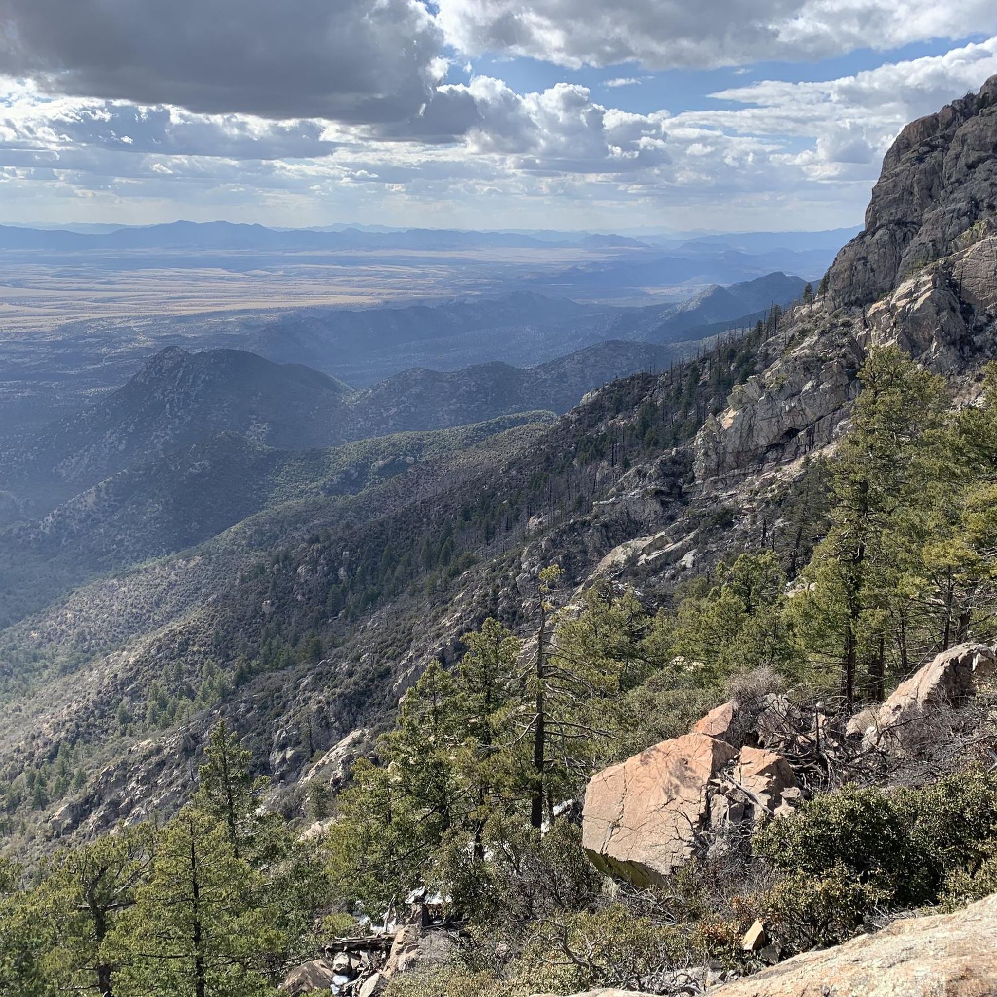
The region offers dramatic views, especially from higher elevations like Carr Peak, which provides panoramic vistas over Sierra Vista and Cochise County. You'll experience diverse ecosystems, transitioning from oak and grass at lower elevations to mixed conifer and aspen stands higher up. Notable landmarks include Miller Peak itself and historical remnants of mining and ranching days.
What wildlife might I encounter on a touring cycling route?
The diverse ecosystems support abundant wildlife. You might spot over 170 species of birds, including 14 species of hummingbirds, and 78 species of mammals such as coatimundi, javelina, black bear, and mountain lion. Over 60 species of reptiles also inhabit the area.
When is the best time of year to go touring cycling in the Miller Peak Wilderness area?
The region experiences a variety of climates due to its elevation changes. Generally, spring and fall offer pleasant temperatures for cycling. Summer can be hot at lower elevations but cooler higher up, while winter can bring snow to the highest peaks, making some routes challenging or inaccessible.
Are there any circular touring cycling routes in the area?
Yes, many of the routes are designed as loops. Examples include the popular Bike loop from Brown Canyon Ranch House, the Brown Canyon Ranch House loop from The Church of Jesus Christ of Latter-day Saints, and the Brown Canyon Ranch House loop from Garden Canyon Linear Park.
Is parking available near the touring cycling routes?
Yes, parking is generally available at trailheads and access points for routes in the Huachuca Mountains and Coronado National Forest. For routes originating near Sierra Vista, you can often find parking within the city or at designated access points for its multi-use paths.
What do other touring cyclists say about the routes in the Miller Peak Wilderness area?
The routes in the Miller Peak Wilderness area are highly rated by the komoot community. Over 35 touring cyclists have explored this varied terrain, often praising the diverse ecosystems, dramatic views, and the range of options available for different ability levels.
Are there amenities like cafes or accommodation near the cycling routes?
While specific cafes or accommodations might not be directly at every trailhead, the nearby city of Sierra Vista offers a full range of amenities, including dining, lodging, and supplies. Many cycling routes are accessible from or lead towards the city.
Most popular routes in Miller Peak Wilderness
Most popular attractions in Miller Peak Wilderness

Get inspired with the komoot mobile app


Explore more
Browse the best Cycling routes in other regions.
