The best walks and hikes around Idar Oberstein
4.6
(2873)
9,016
hikers
264
hikes
Hiking trails around Idar Oberstein traverse the diverse landscapes of the Rhineland-Palatinate region. The area is characterized by the Hunsrück-Hochwald National Park, featuring ancient beech forests and rocky formations, alongside the scenic Nahe River valley. Hikers encounter varied terrain, from mystical moors to unique geological features resulting from rich mineral deposits. This blend of natural beauty and historical sites defines the region's outdoor experience.
Best hiking trails around Idar Oberstein
- The most popular hiking route is View of Frauenburg Castle – Kaiserallee on the Nahekopf loop from Artillerieschule, an 11.3 miles (18.2 km) trail that takes about 5 hours 20 minutes to complete. This difficult route offers expansive views of Frauenburg Castle and the surrounding landscape.
- Another top favourite among local hikers is View of the Nahe River – View of the Krechelsfels loop from Frauenberg, a moderate 4.8 miles (7.7 km) path. This trail provides scenic perspectives of the Nahe River and the distinctive Krechelsfels rock formation.
- Local hikers also love the Tree Trunk Staircase – Nahbollenbach Observation Deck loop from Idar-Oberstein, a 7.3 miles (11.7 km) trail leading through varied forest terrain, often completed in about 3 hours 45 minutes.
- Hiking around Idar Oberstein is defined by ancient beech forests, the Nahe River valley, and historic castles. The network offers options for easy strolls, moderate day hikes, and more challenging routes.
- The routes in Idar-Oberstein are highly rated by the komoot community with an average score of 4.6 stars from over 2500 reviews. More than 8900 hikers have used komoot to explore Idar-Oberstein's varied terrain.
Last updated: October 16, 2026
4.8
(298)
1,004
hikers
Hard hike. Very good fitness required. Mostly accessible paths. Sure-footedness required.
4.8
(306)
895
hikers
Moderate hike. Good fitness required. Easily-accessible paths. Suitable for all skill levels.

4.7
(215)
801
hikers
Moderate hike. Good fitness required. Mostly accessible paths. Sure-footedness required.
4.8
(294)
850
hikers
Moderate hike. Great for any fitness level. Mostly accessible paths. Sure-footedness required.
4.7
(211)
796
hikers
Moderate hike. Good fitness required. Mostly accessible paths. Sure-footedness required.
Get access to more routes and recommendations from other explorers.
Already have an account?
Our route recommendations are based on thousands of hikes, rides, and runs completed by other people on komoot.
Start today with a free account
Your next adventure awaits.
Popular around Idar-Oberstein

Saar-Hunsrück Climb – Hike in Germany where culture and nature meet
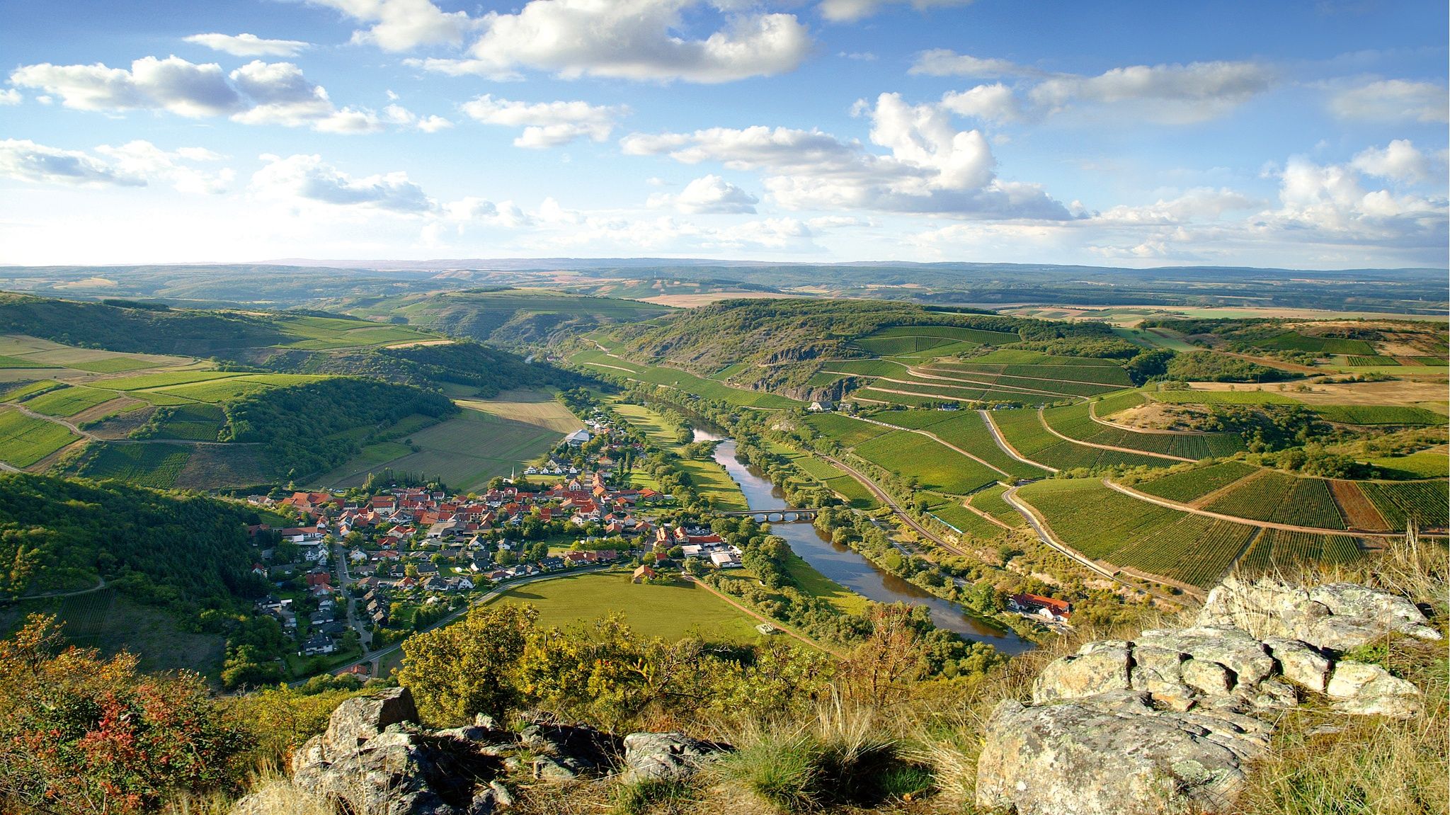
Top 10 hiking loops on the Nahe – Dream Loops and Vitaltours
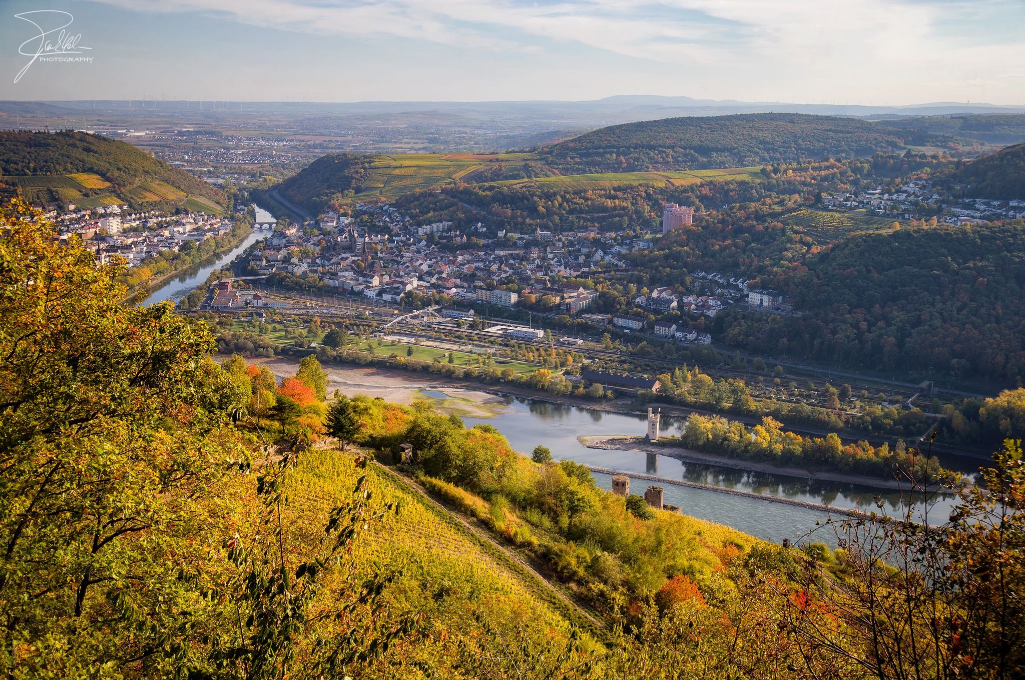
The Nahe Cycle Path – Between Rocks and Vines
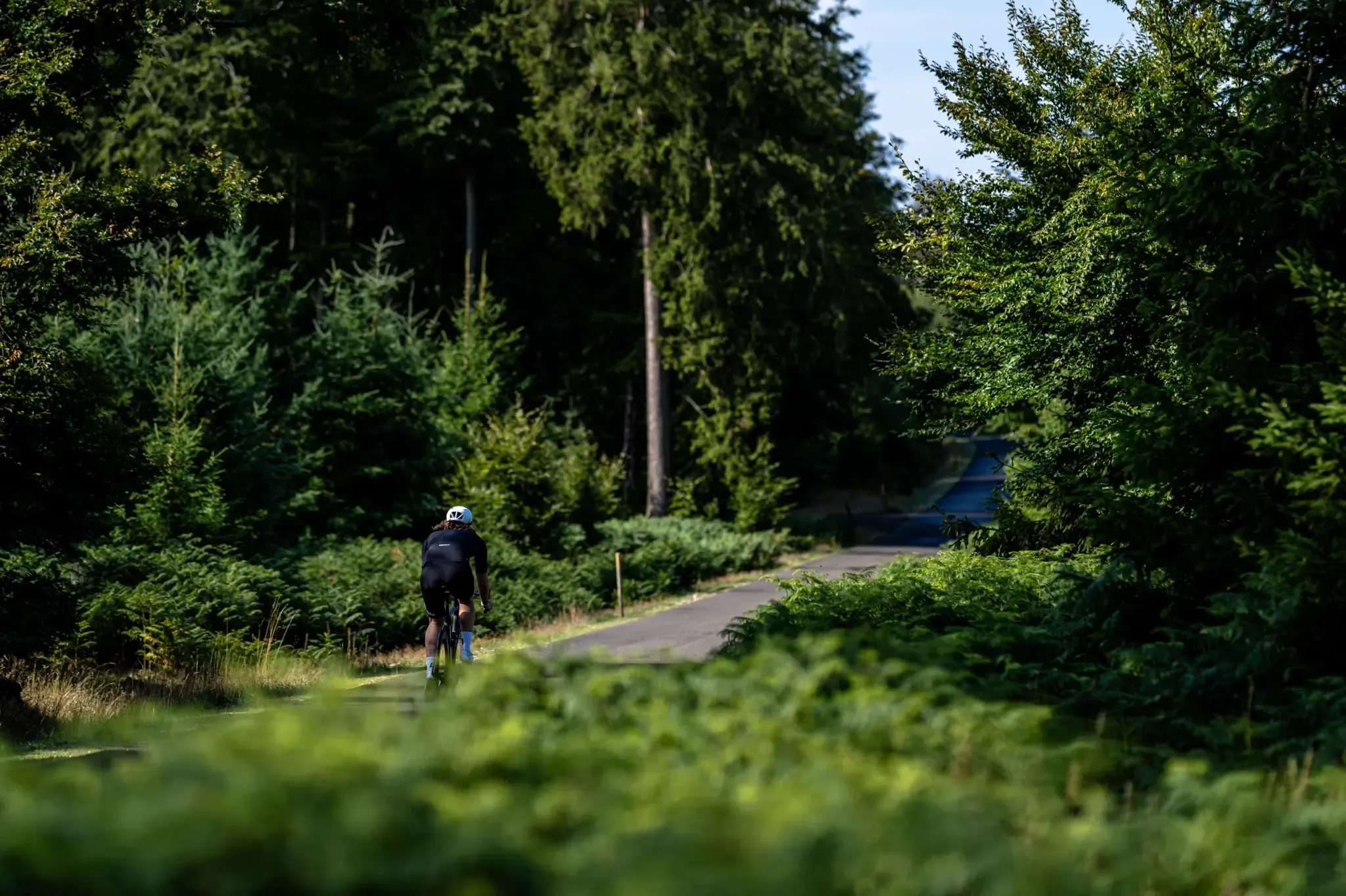
Road and gravel bike paradise – Hunsrück-Nahe Region
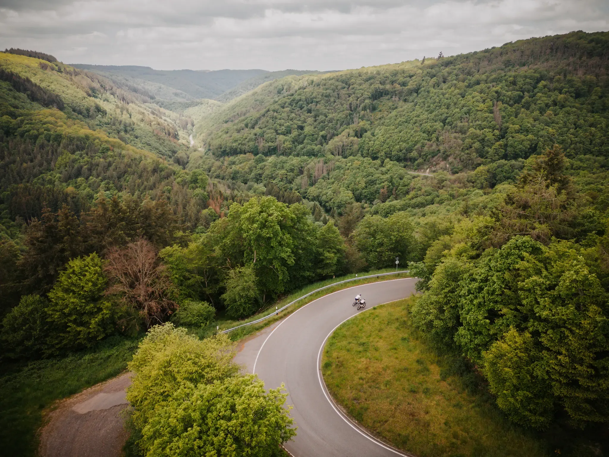
Make your road cycling dreams come true in the Hunsrück-Nahe region
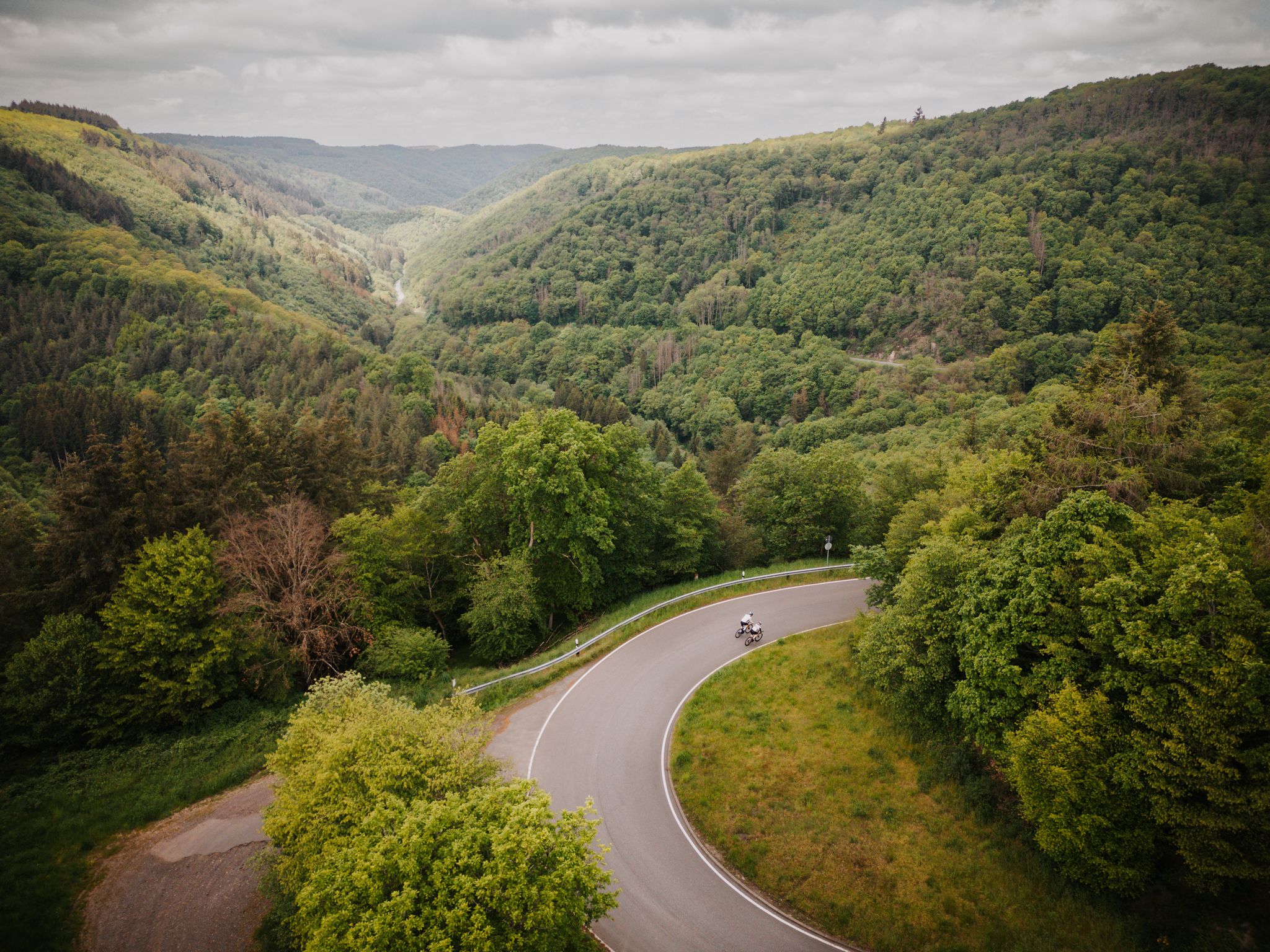
Roadbiken im Herzen der Bike-Region Hunsrück-Nahe

1000 Höhenmeter und mehr - Bergetappen zwischen Hunsrück und Nahe
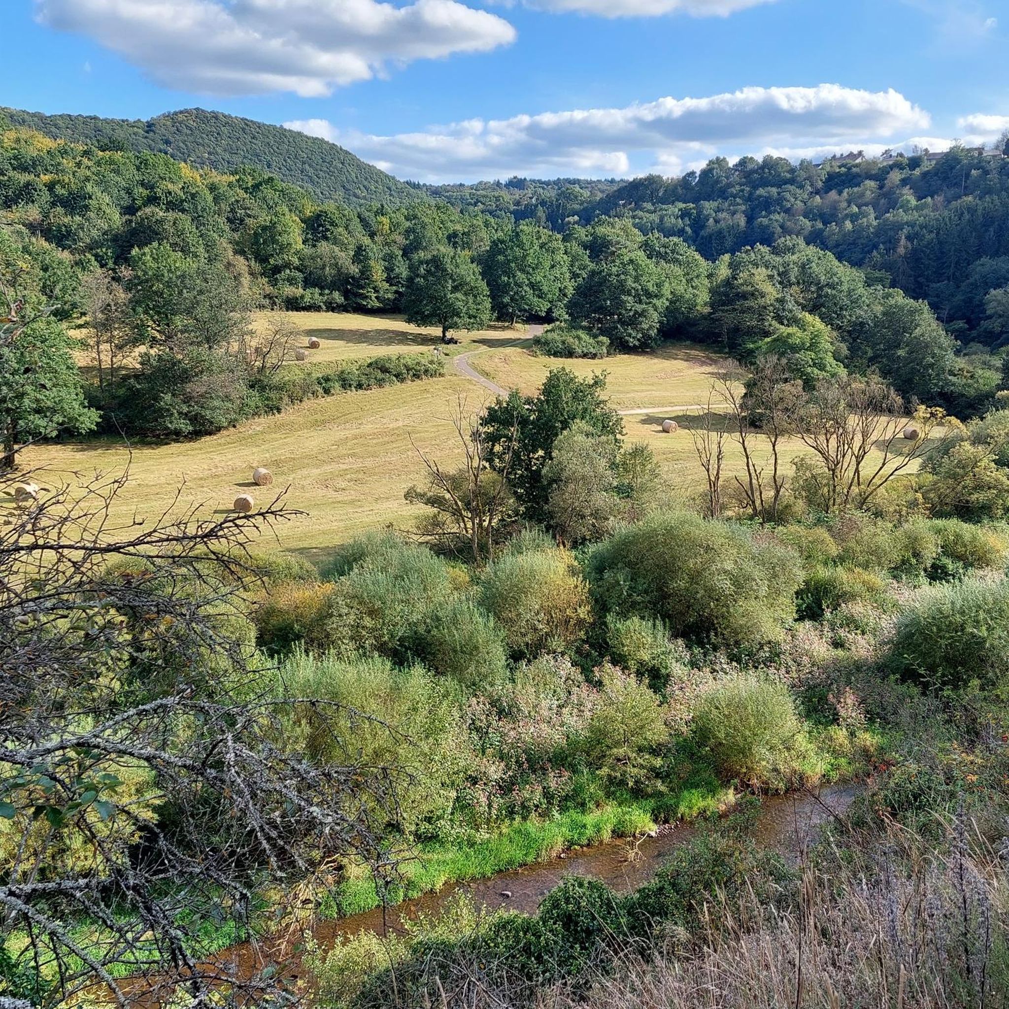
Cycling around Idar Oberstein
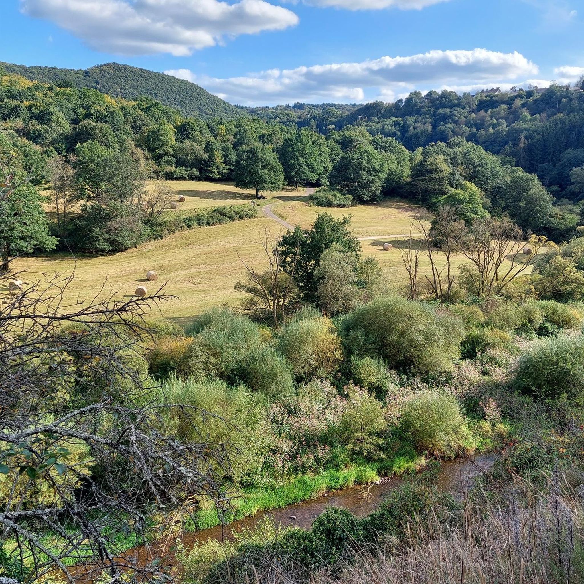
Road Cycling Routes around Idar Oberstein
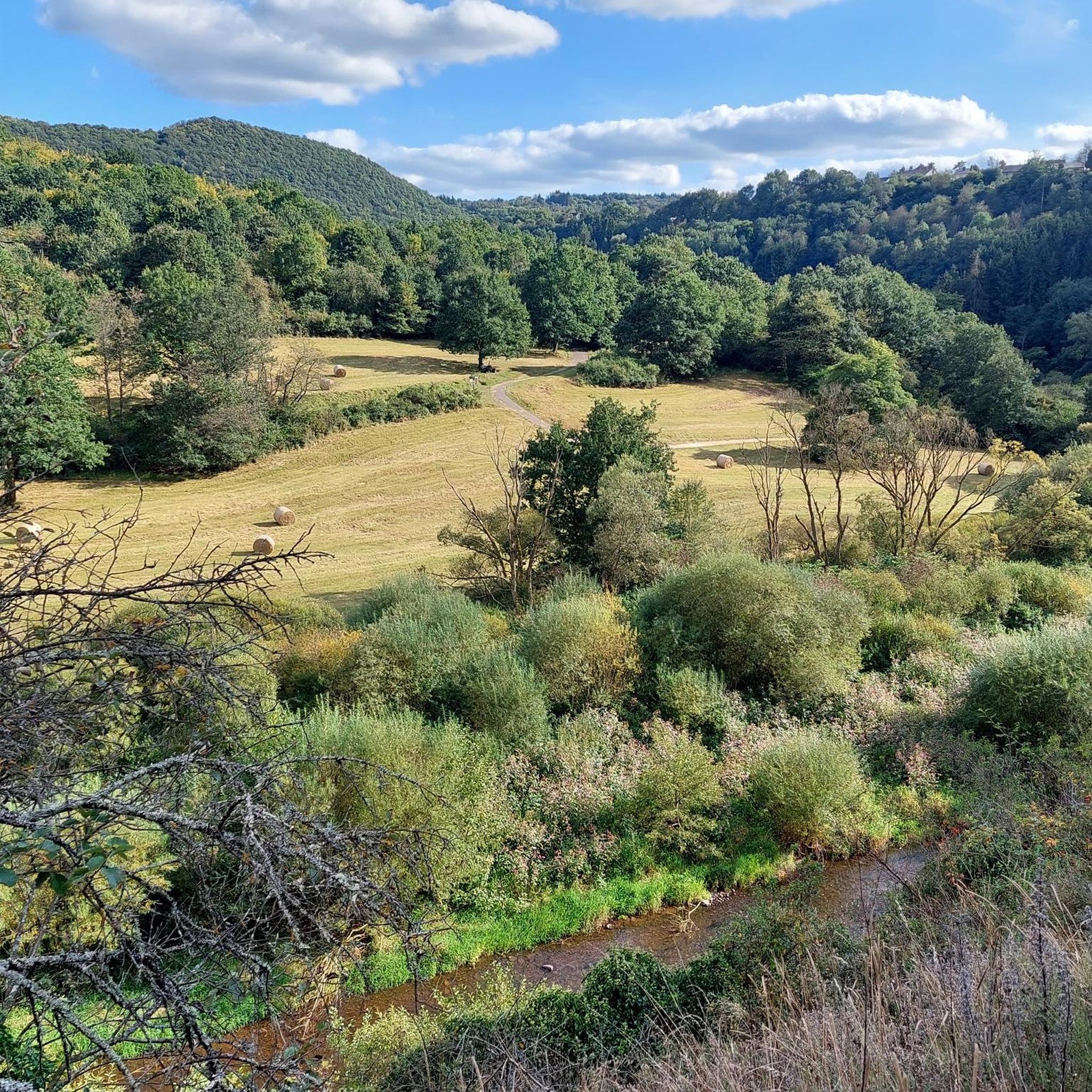
MTB Trails around Idar Oberstein
Other adventures around Idar Oberstein


Tips from the Community

Beautiful hut in Roman style, quite nice
0
0
Pure nature and always the city area in view
0
0
I find this a really nicely laid out platform that invites you to relax :-D
0
0
Very cool spot, unfortunately the bench is no longer the newest
0
0
Keep your eyes open, you quickly cycle right past it ;-)
0
0
Beautiful view and nice resting place
0
0
Simply breathtaking... nothing more can be put into words
0
0
Frequently Asked Questions
How many hiking trails are available around Idar-Oberstein, and what are their difficulty levels?
Idar-Oberstein offers a wide variety of hiking experiences with over 270 routes. Approximately 147 of these are considered easy, 113 are moderate, and 13 are difficult, ensuring options for all fitness levels.
What kind of natural landscapes can I expect to see while hiking in Idar-Oberstein?
The region is characterized by the stunning Hunsrück-Hochwald National Park, featuring ancient beech forests, unique wetland biotopes, and vast rocky landscapes. You'll also encounter the scenic Nahe River valley and the surrounding Hunsrück Mountains, offering diverse terrain from mystical moors to vibrant arnica meadows.
Are there any circular hiking routes in the Idar-Oberstein area?
Yes, many routes in Idar-Oberstein are circular, allowing you to start and end at the same point. An example is the View of the Krechelsfels – Nahe Bridge at Krechelsfels loop from Idar-Oberstein, an easy 6.5 km trail offering scenic views.
What historical sites or landmarks can I explore on a hike around Idar-Oberstein?
Hiking in Idar-Oberstein often leads to fascinating historical sites. You can visit the iconic Kaiserallee on the Nahekopf, or explore the medieval Felsenkirche (Rock Church) carved into a cliff face. The ruins of Bosselstein Castle and Oberstein Castle also offer magnificent panoramic views over the town and the Nahe valley.
Are there any unique geological attractions to discover on the trails?
Absolutely. Idar-Oberstein is famous for its geological heritage. You can visit Europe's only accessible gemstone mine, the Steinkaulenberg Gemstone Mines, which is often integrated into hiking routes. The region's Permian period history resulted in rich mineral deposits of jasper, agate, and amethyst, contributing to the unique character of the landscape.
What do other hikers enjoy most about the trails in Idar-Oberstein?
The trails in Idar-Oberstein are highly rated by the komoot community, with an average score of 4.6 stars from over 2500 reviews. Hikers often praise the diverse landscapes, the well-maintained paths, and the unique blend of natural beauty with historical and geological points of interest.
Are there any longer, more challenging hikes for experienced trekkers?
For experienced hikers seeking a challenge, Idar-Oberstein offers several difficult routes. One such option is the View of Frauenburg Castle – Kaiserallee on the Nahekopf loop from Artillerieschule, an 18.2 km trail that takes about 5 hours 20 minutes to complete and offers expansive views.
Can I find trails that offer scenic views of the Nahe River?
Yes, the Nahe River valley provides a beautiful backdrop for many hikes. The View of the Nahe River – View of the Krechelsfels loop from Frauenberg is a moderate 7.7 km path that offers scenic perspectives of the river and the distinctive Krechelsfels rock formation.
Are there any trails that lead through varied forest terrain?
Many routes traverse the region's ancient beech forests. The Tree Trunk Staircase – Nahbollenbach Observation Deck loop from Idar-Oberstein is a 11.7 km trail that leads through varied forest terrain, often completed in about 3 hours 45 minutes.
Are there any specific trails that highlight the region's unique rock formations?
The region is known for its bizarre rock formations. The Saar-Hunsrück-Steig, a premium long-distance trail, leads directly to Idar-Oberstein and showcases many of these unique geological features, including the distinctive Rosselhalden (rocky slopes) within the Hunsrück-Hochwald National Park.
What is the best time of year to go hiking in Idar-Oberstein?
Idar-Oberstein offers hiking opportunities year-round. Spring and autumn provide pleasant temperatures and vibrant colors, while summer is ideal for longer days. Even winter hiking can be rewarding, with the landscape transformed by snow, especially in the Hunsrück-Hochwald National Park.
Are there any trails that offer wide views or observation decks?
Yes, several trails provide expansive views. For instance, the Nahbollenbach Observation Deck – Tree Trunk Staircase loop from Nahbollenbach offers great vistas. Additionally, the historic castles like Bosselstein and Oberstein provide magnificent panoramic views over the Nahe valley.
Most popular routes around Idar Oberstein
Most popular attractions around Idar Oberstein

Get inspired with the komoot mobile app


Explore more
Browse the best Hikes in other regions.
