The best gravel rides around Terradillos
20
riders
5
rides
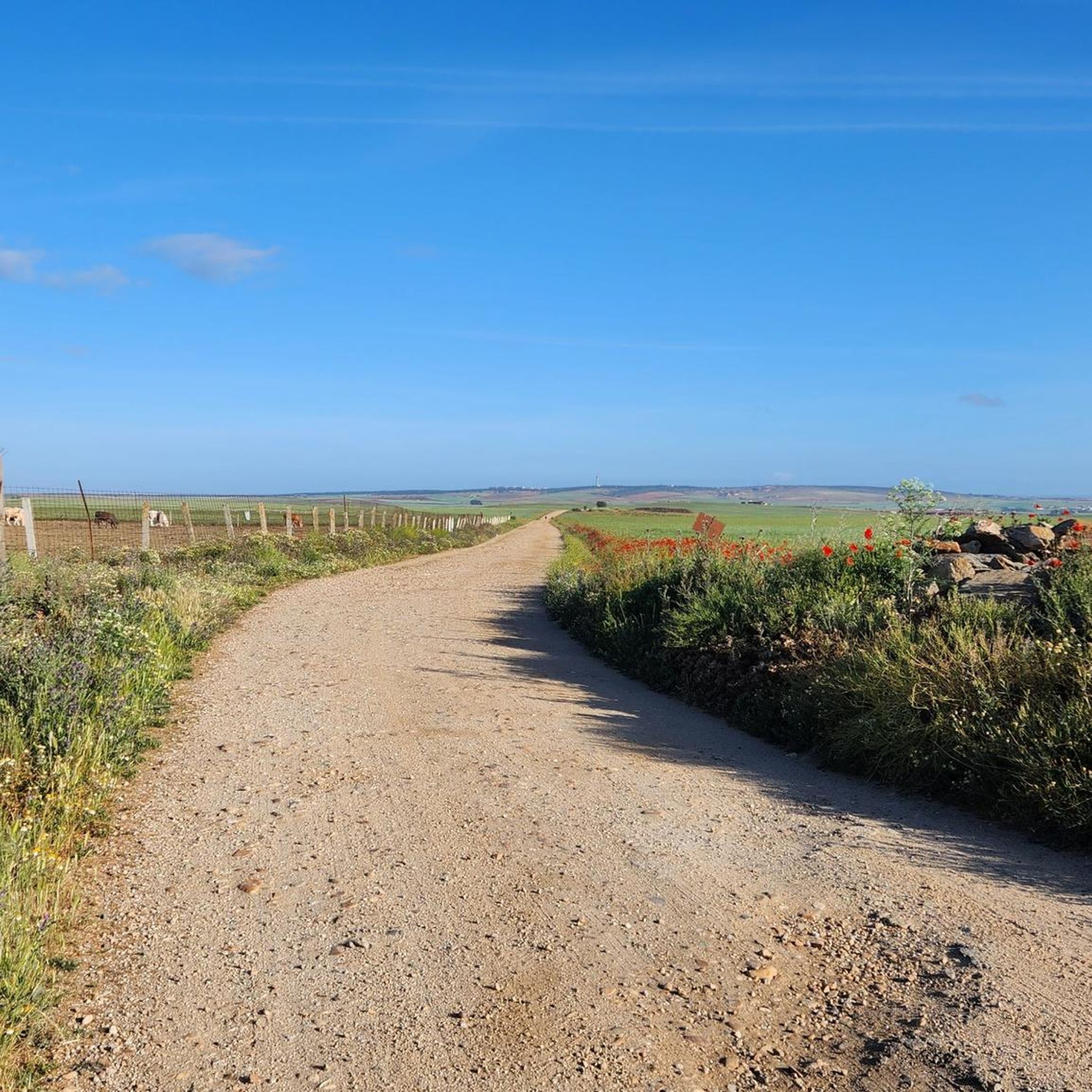
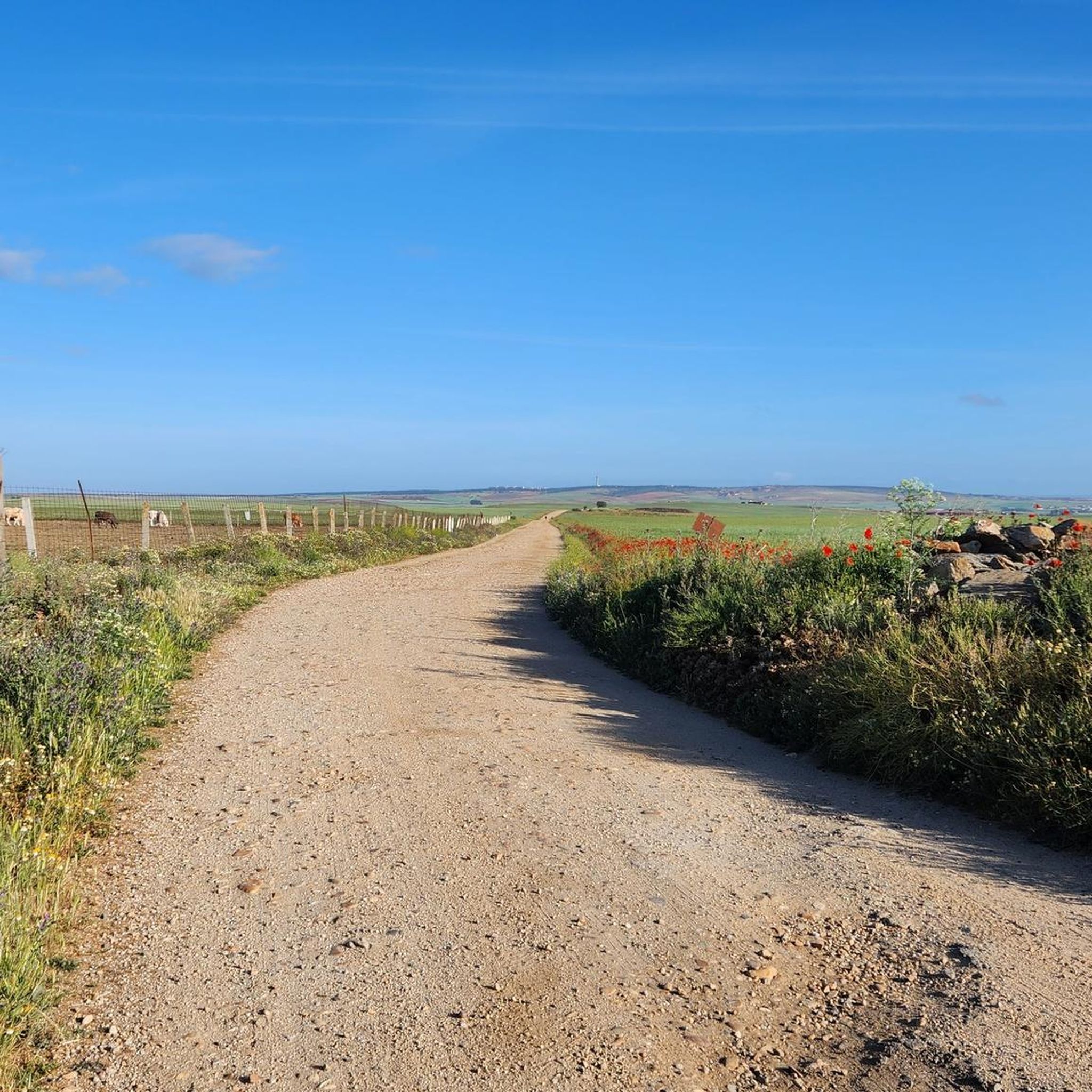
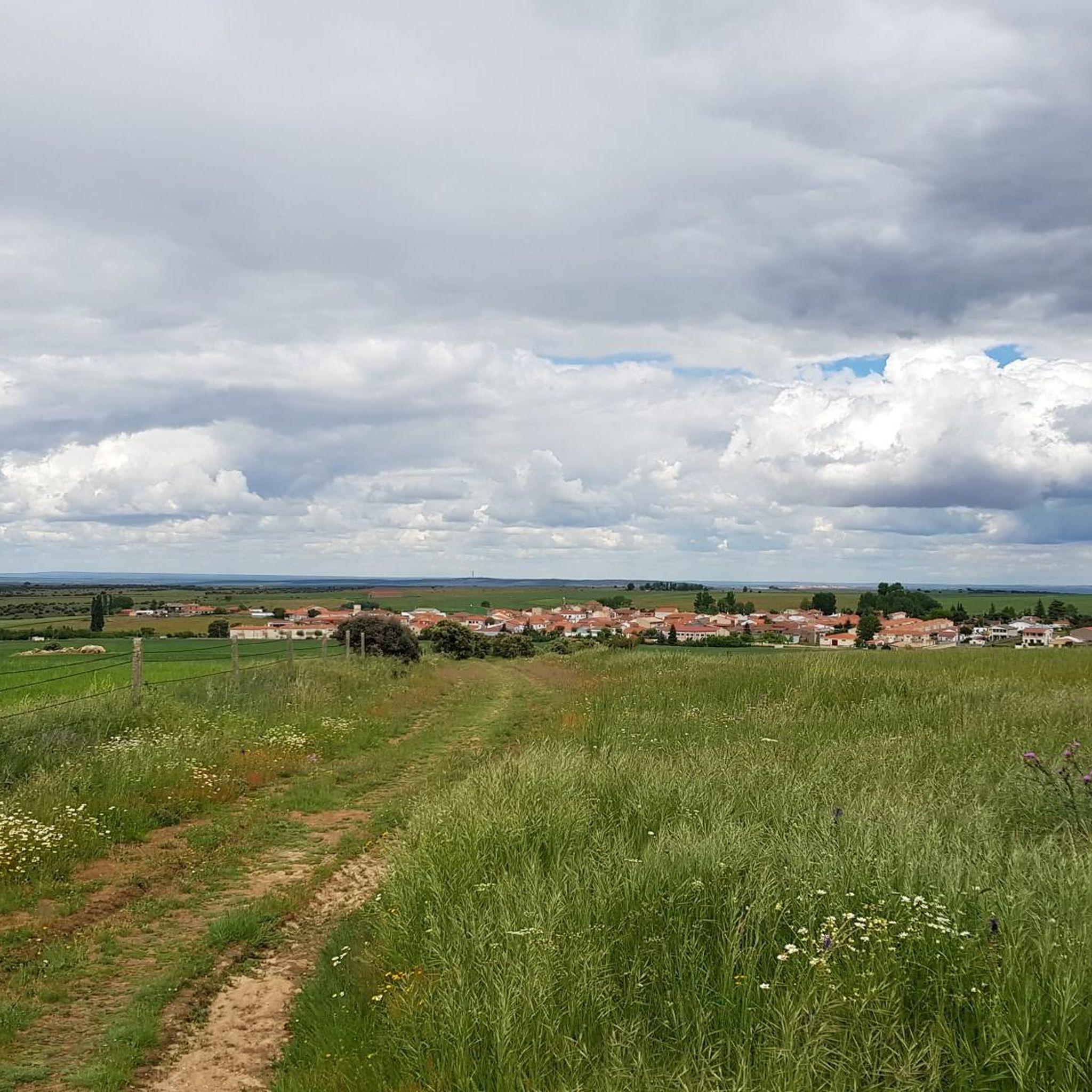
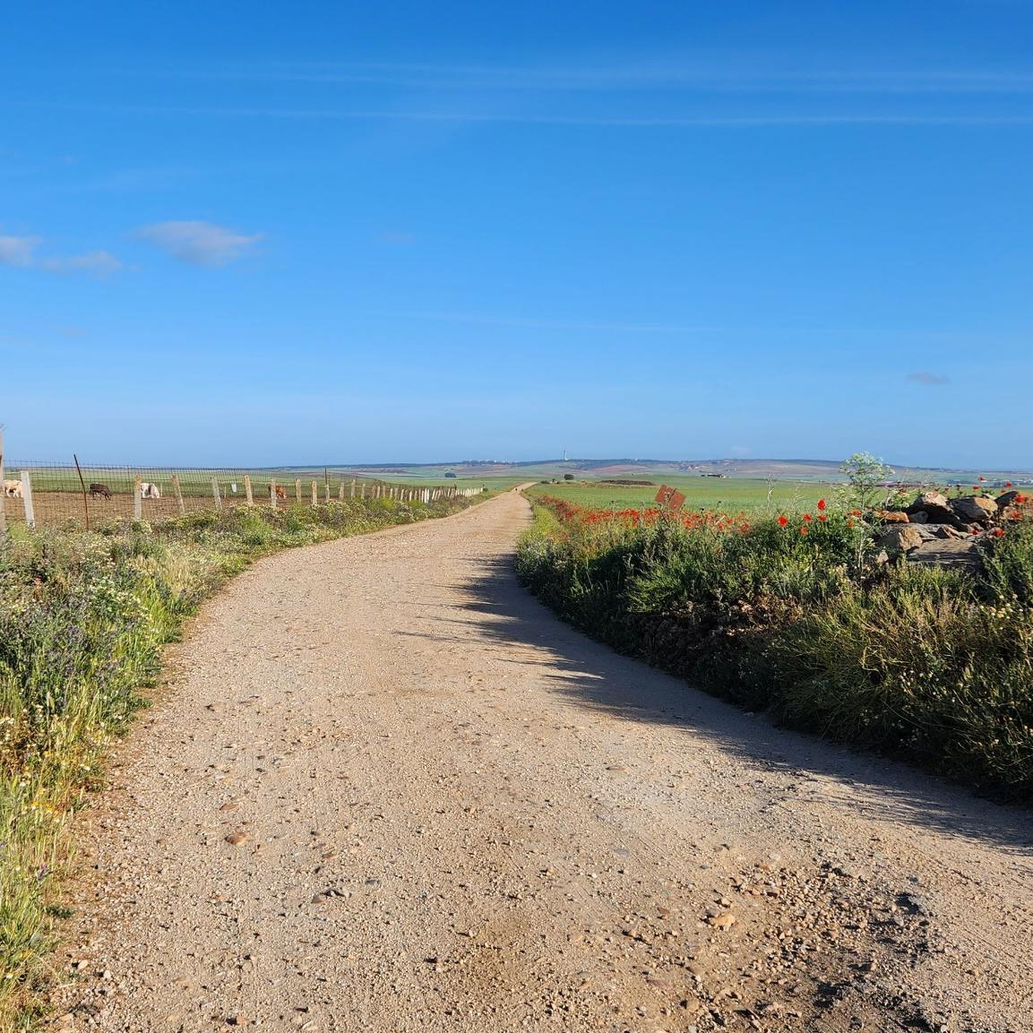
Gravel biking around Terradillos offers routes across the flat, open plains of the Castilian Meseta, characterized by expansive agricultural land and quiet country roads. The terrain includes historical paths like sections of the ancient Roman road, Via Aquitania, providing generally easy transit. While the landscape is largely flat, the area near the Cueza River adds subtle topographical elements. Riders should note the limited shade due to the scarcity of trees.
Best gravel bike trails around Terradillos
- The most popular gravel bike trail is Soto Island – Tormes River loop from Calvarrasa de Abajo, a 26.2 miles (42.2 km) trail that takes 3 hours 3 minutes to complete. This route features a moderate difficulty with an elevation gain of 630 feet (192 meters).
- Another top favourite among local gravel bikers is Roman Bridge of Salamanca – Salamanca Cathedral loop from Santa Marta de Tormes, a moderate 20.9 miles (33.6 km) path. This route offers varied scenery with an elevation gain of 1,145 feet (349 meters).
- Local gravel bikers also love the House loop from Santa Marta de Tormes, a 16.3 miles (26.3 km) trail leading through open countryside, often completed in about 1 hour 40 minutes. This easy route has an elevation gain of 261 feet (79 meters).
- Gravel biking around Terradillos is defined by long, straight stretches of agricultural land, historical dirt tracks, and the subtle undulations of the Cueza River area. The network offers options for different ability levels, from easy loops to more challenging long-distance routes.
- The guide includes highly-rated routes that showcase the best of the region's landscape. More than 20 gravel bikers have used komoot to explore Terradillos's varied terrain.
Last updated: July 2, 2026
7
riders
42.2km
03:03
190m
190m
Moderate gravel ride. Good fitness required. Mostly paved surfaces. Suitable for all skill levels.
5
riders
Moderate gravel ride. Good fitness required. Mostly paved surfaces. Suitable for all skill levels.

Sign up for free
3
riders
26.3km
01:40
80m
80m
Easy gravel ride. Great for any fitness level. Mostly paved surfaces. Suitable for all skill levels.
3
riders
Hard gravel ride. Very good fitness required. Mostly paved surfaces. Suitable for all skill levels.
2
riders
Moderate gravel ride. Good fitness required. Mostly paved surfaces. Suitable for all skill levels.
Our route recommendations are based on thousands of hikes, rides, and runs completed by other people on komoot.
Start today with a free account
Your next adventure awaits.
Login or Signup
Tips from the Community

Nothing to add to all the superlatives, magnificent!
11
0
Enormous square that comes alive in the evening when it is illuminated.
7
0
It is one of the highest cathedrals in Spain and is known for its detailed plateresque facade, rich interior, and the famous, intriguing "astronaut" on the north facade. The astronaut or alien shows timelessness or that not everything you see is true.
9
1
Beautiful bridge and view
13
0

The bell tower of Salamanca Cathedral is one of the most emblematic elements of its architecture. It forms part of the New Cathedral, although it is integrated into the complex that includes the Old Cathedral. Baroque style predominates, although the base is Renaissance, reflecting the transition between the two cathedrals. Height: Approximately 92 meters, making it one of the tallest points in the city.
14
0
The history of Salamanca's Roman bridge is intertwined with that of the city itself, and it has been one of its defining features for centuries. Located in a position that facilitated human settlement and the development of economic activity, its proximity to the three hills and the Tormes River made it a strategic location. It is a solid bridge, resistant to the passage of time. For centuries it served as the main access point to the city, until a new bridge was completed over the Tormes River in 1913, allowing the passage of vehicles.
10
0
The Cuesta de los Caenes section is part of a very accessible circular route near Cabrerizos, on the outskirts of Salamanca. No shade, ideal for cool days. Suitable for families and children. Beautiful views of Cabrerizos, Salamanca in the distance, and the Tormes Valley. The route passes by the Arroyo de Las Caenes stream, and the Cuesta de los Caenes is one of its most recognizable sections.
2
0

Here you can walk, cycle and admire steel works of art
0
0
Frequently Asked Questions
What kind of terrain can I expect on gravel bike trails near Terradillos?
The terrain around Terradillos is characteristic of the Castilian plateau, or "Meseta." You'll find long, often straight stretches across open plains and agricultural land, primarily cereal fields. These routes are generally on quiet country roads and dirt tracks, with minimal shade, offering a unique experience for endurance rides and a sense of solitude. Some paths may follow ancient routes like the Via Aquitania.
Are there any easy gravel bike routes suitable for beginners or a relaxed ride?
Yes, there are routes suitable for an easier pace. For instance, the House loop from Santa Marta de Tormes is classified as easy, covering approximately 26 km with minimal elevation gain, making it a great option for a relaxed outing.
What are some notable landmarks or historical sites I can see along the gravel routes?
Terradillos is steeped in history, particularly its connection to the Camino de Santiago and the Knights Templar. While cycling, you'll be on paths rich with pilgrim history. Nearby attractions include the historic Basilica of Saint Teresa, the Battle of Los Arapiles Monument, and the Enrique Estevan Bridge. The village itself boasts the historic Iglesia de San Pedro.
What is the best time of year for gravel biking in Terradillos?
The best times for gravel biking in Terradillos are typically spring and autumn. During these seasons, temperatures are more moderate, making the long, exposed stretches across the Meseta more comfortable. Summers can be very hot with limited shade, requiring ample water and sun protection. Winters can be chilly, but still offer rideable conditions.
Are there any longer gravel routes for more experienced riders?
Absolutely. For those seeking a longer challenge, the Salamanca Cathedral – Plaza Mayor of Salamanca loop from Santa Marta de Tormes is a difficult route spanning over 77 km with significant elevation gain, offering a substantial ride through the region.
Can I find circular gravel bike routes around Terradillos?
Yes, several routes are designed as loops, allowing you to start and finish in the same location. Examples include the Soto Island – Tormes River loop from Calvarrasa de Abajo, which is a moderate 42 km ride, and the Roman Bridge of Salamanca – Salamanca Cathedral loop from Santa Marta de Tormes.
What should I be aware of regarding shade and water availability on these trails?
A significant characteristic of the Meseta is the scarcity of trees, meaning limited shade, especially during the warmer months. It is crucial to carry ample water, wear sun protection, and plan your rides to avoid the hottest parts of the day, particularly in summer. Villages along the Camino de Santiago may offer opportunities to refill water bottles.
Are there any routes that follow the historic Camino de Santiago?
Terradillos is an integral stop on the French Way of the Camino de Santiago. Many of the local dirt tracks and country roads align with or run parallel to this historic pilgrimage route, allowing you to experience its unique ambiance and history while gravel biking.
What are the options for parking if I bring my own bike?
As a small village on the Camino de Santiago, Terradillos typically offers various parking options suitable for visitors. You can usually find street parking within the village or designated areas near the main routes, especially for pilgrims and tourists. It's advisable to check local signage upon arrival.
Are there any routes that offer views of the Cueza River?
Terradillos is situated near the Cueza River. While not a dramatic feature, the river valley adds a subtle topographical element to the otherwise flat landscape. Routes in the vicinity may offer glimpses of the river, providing a slight change of scenery from the expansive plains.
What is the general difficulty level of gravel biking in Terradillos?
The gravel biking in Terradillos ranges from easy to difficult. The flat, open plains mean less technical climbing, but longer distances and exposure to elements can add to the challenge. You'll find routes like the Salamanca Cathedral – Roman Bridge of Salamanca loop from Santa Marta de Tormes which is moderate, alongside easier and more challenging options.
Most popular routes around Terradillos
Most popular attractions around Terradillos

Get inspired with the komoot mobile app


Explore more
Browse the best Gravel rides in other regions.
